Gurley Creek - FS 137
Total Miles
1.1
Technical Rating
Best Time
Spring, Summer, Fall
Trail Type
Full-Width Road
Accessible By
Trail Overview
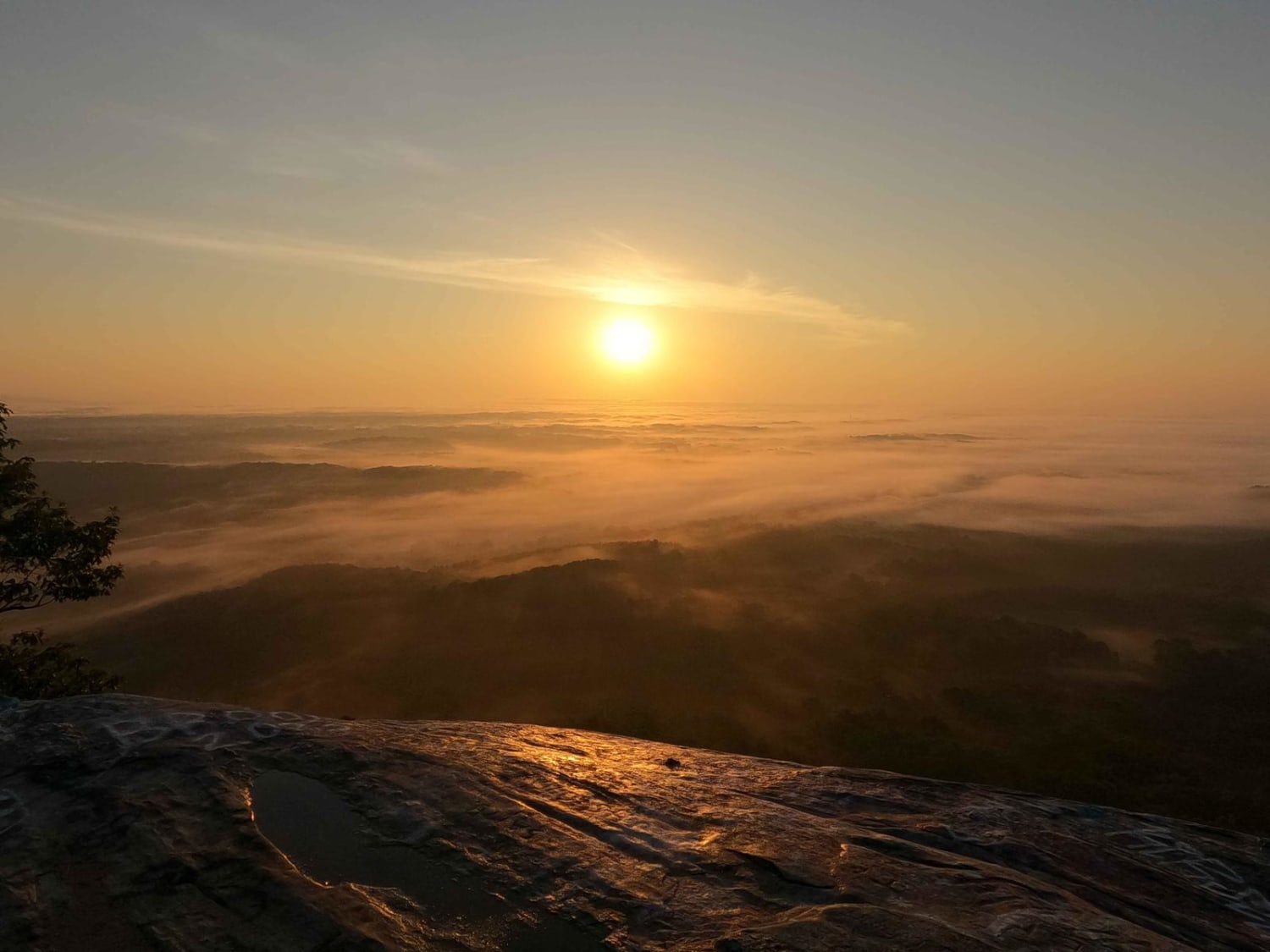
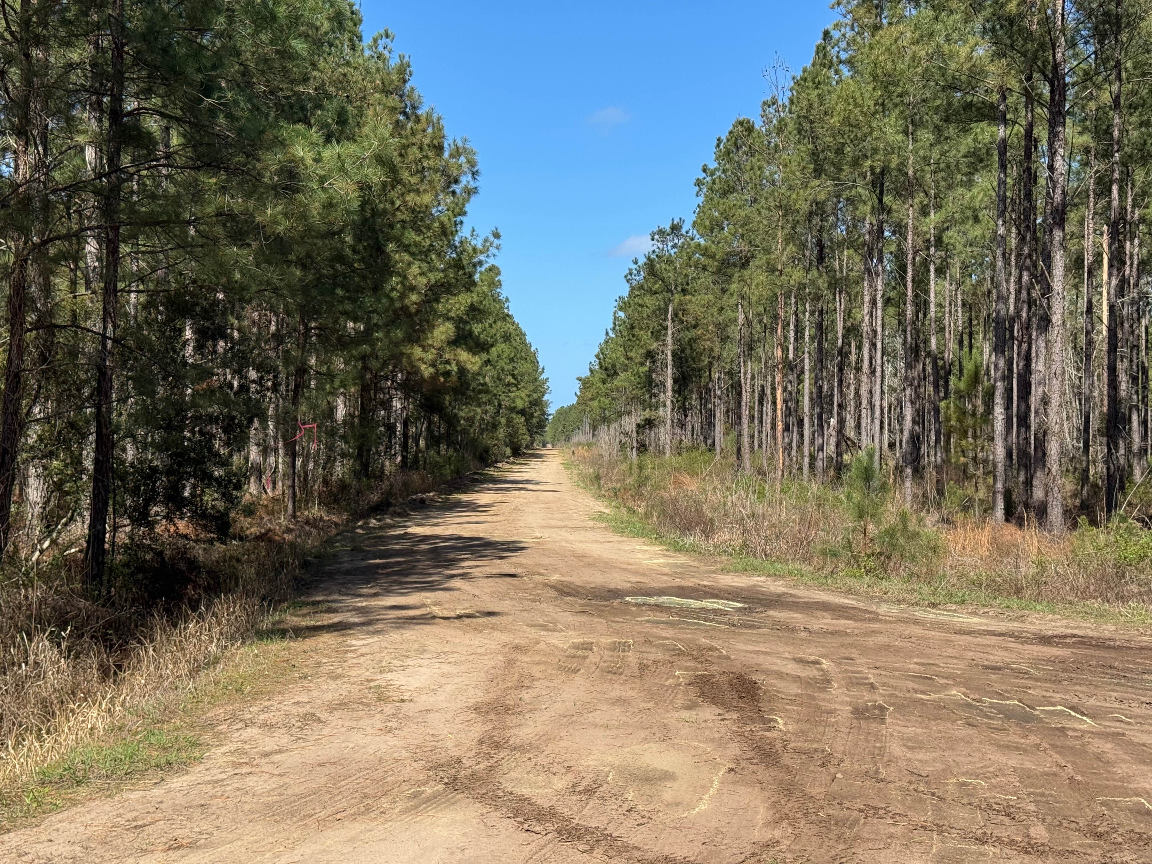
Gurley Creek (FS 137) is a narrow, natural trail with some overgrown vegetation. Gurley Falls was once accessible from FS-137. The trail terminates at a large open turnaround and a guardrail blocking the remainder of the trail to Gurley Falls. The old road is visible, although heavily overgrown. There were abundant deer spotted along the trail, and tracks were found in the trail turnaround. FS-137 is heavily shaded by a dense canopy overhead and was a pleasant ride. Small puddles had collected water from a recent rain, but were easily traversed. Cell service was good with major carriers. The falls are now accessible for a fee from the Enota Mountain Retreat. FS-137 is located in the Chattahoochee National Forest and ends at the boundary of the Mark Trail Wilderness (non-motorized / non-mechanized activities only). Contact the Blue Ridge Ranger District for questions at 706-970-9776. A legally licensed vehicle is required to use the forestry road system.
Photos of Gurley Creek - FS 137


Difficulty
This trail is easily traveled, with only small puddles remaining after a recent thunderstorm. Some sections are overgrown, narrowing the corridor.
Status Reports
Gurley Creek - FS 137 can be accessed by the following ride types:
- High-Clearance 4x4
- SUV
Gurley Creek - FS 137 Map
Popular Trails
Currahee Mountain Road FSR 62

Montgomery Creek - FS 141
Smith Hammock Road

The onX Offroad Difference
onX Offroad combines trail photos, descriptions, difficulty ratings, width restrictions, seasonality, and more in a user-friendly interface. Available on all devices, with offline access and full compatibility with CarPlay and Android Auto. Discover what you’re missing today!