Montgomery Creek - FS 141
Total Miles
5.7
Technical Rating
Best Time
Spring, Summer, Fall, Winter
Trail Type
Full-Width Road
Accessible By
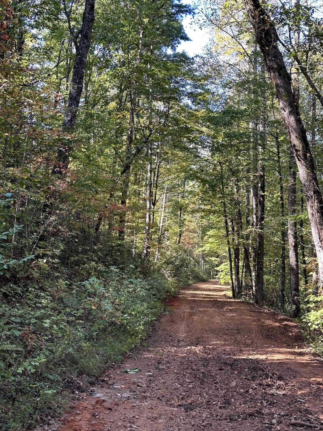
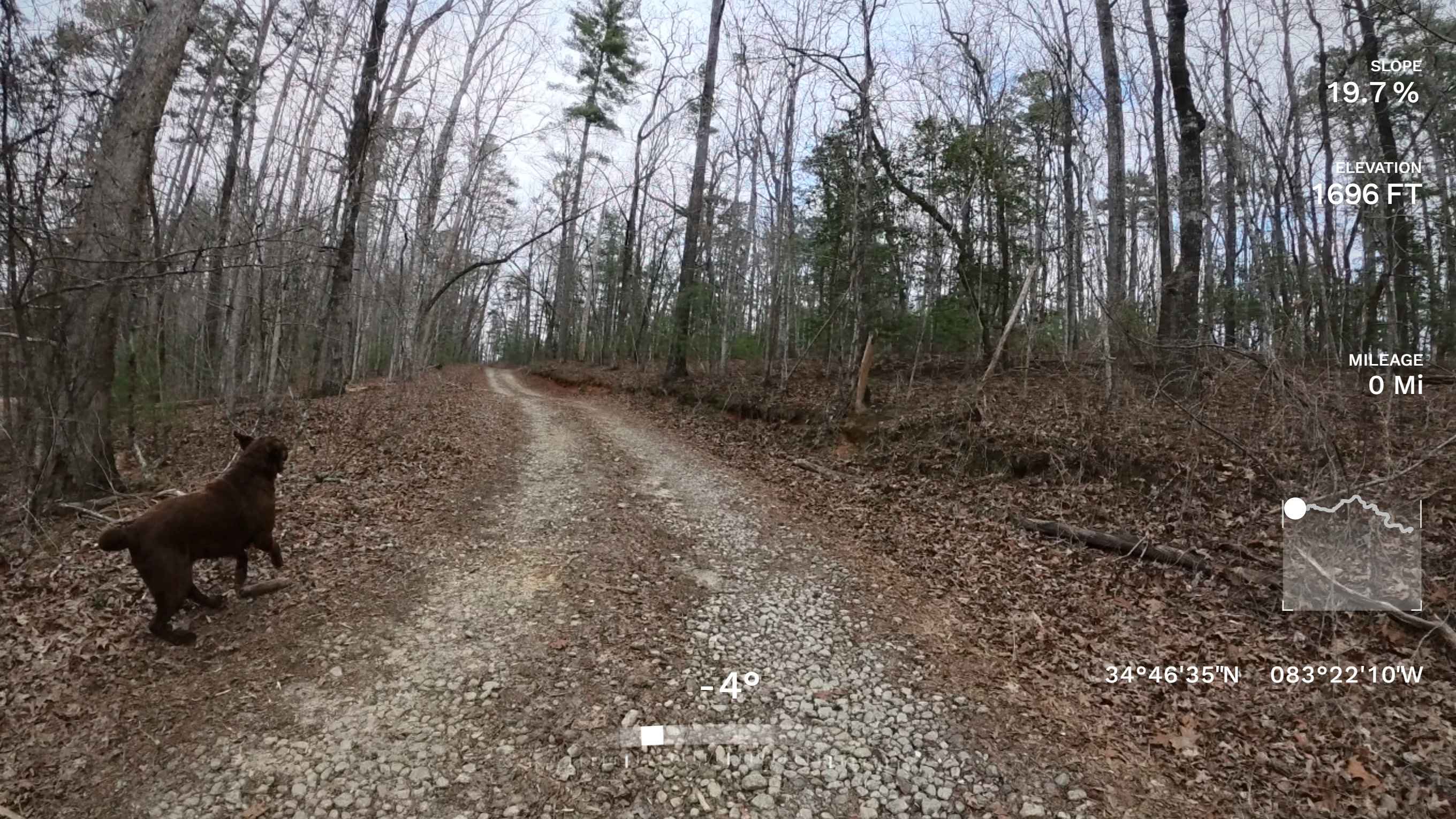
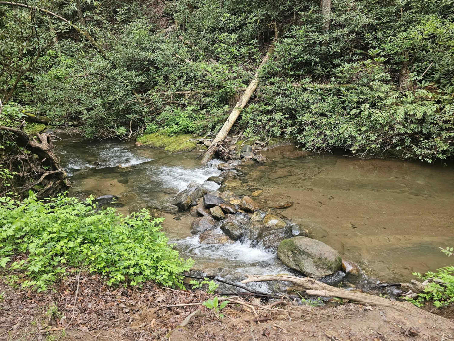
Trail Overview
This is an almost 6-mile loop that offers lots to do and see, including a water crossing, spots to fish, and Merrill Army Base on the northern end of the trail. Although the trail has been freshly graded, it remains mostly dirt, which can cause some slippery conditions when wet. In most sections, it is wide enough for two vehicles.
Photos of Montgomery Creek - FS 141

Difficulty
This trail is accessible by most vehicles with a shallow water crossing and possibly slippery conditions when wet.
Status Reports
Montgomery Creek - FS 141 can be accessed by the following ride types:
- High-Clearance 4x4
- SUV
Montgomery Creek - FS 141 Map
Popular Trails
Water Gauge Road - FS 511

181-B-O connector Unlabeled

Moss Hill - FSR 28B
Tuckaluge Creek Road/153
The onX Offroad Difference
onX Offroad combines trail photos, descriptions, difficulty ratings, width restrictions, seasonality, and more in a user-friendly interface. Available on all devices, with offline access and full compatibility with CarPlay and Android Auto. Discover what you’re missing today!