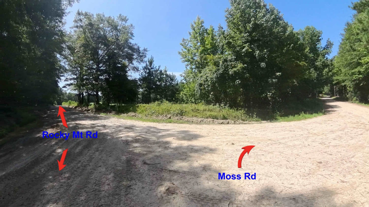
Moss Road
Total Miles
1.6
Technical Rating
Best Time
Spring, Summer, Fall, Winter
Trail Type
Full-Width Road
Accessible By
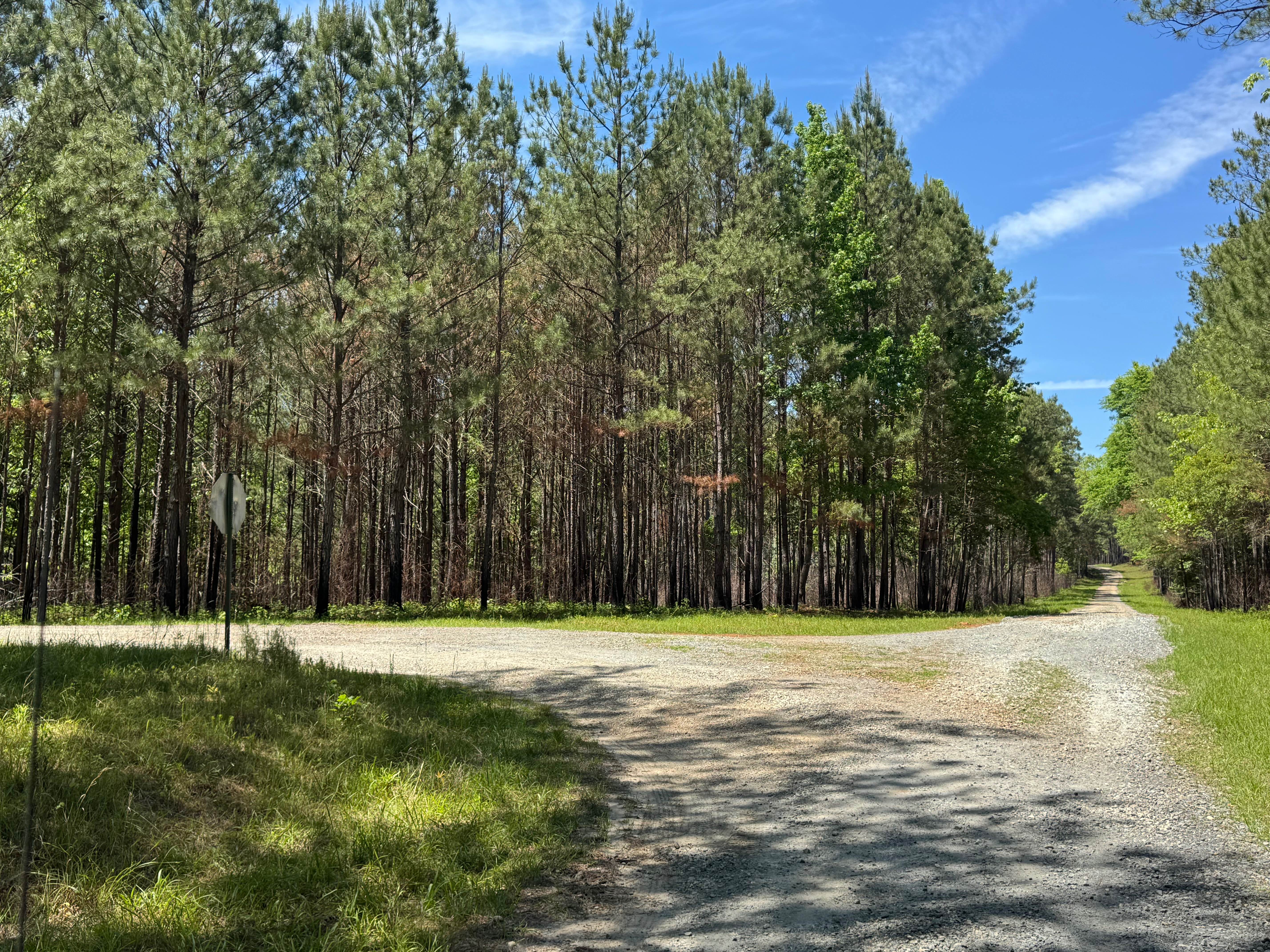
Trail Overview
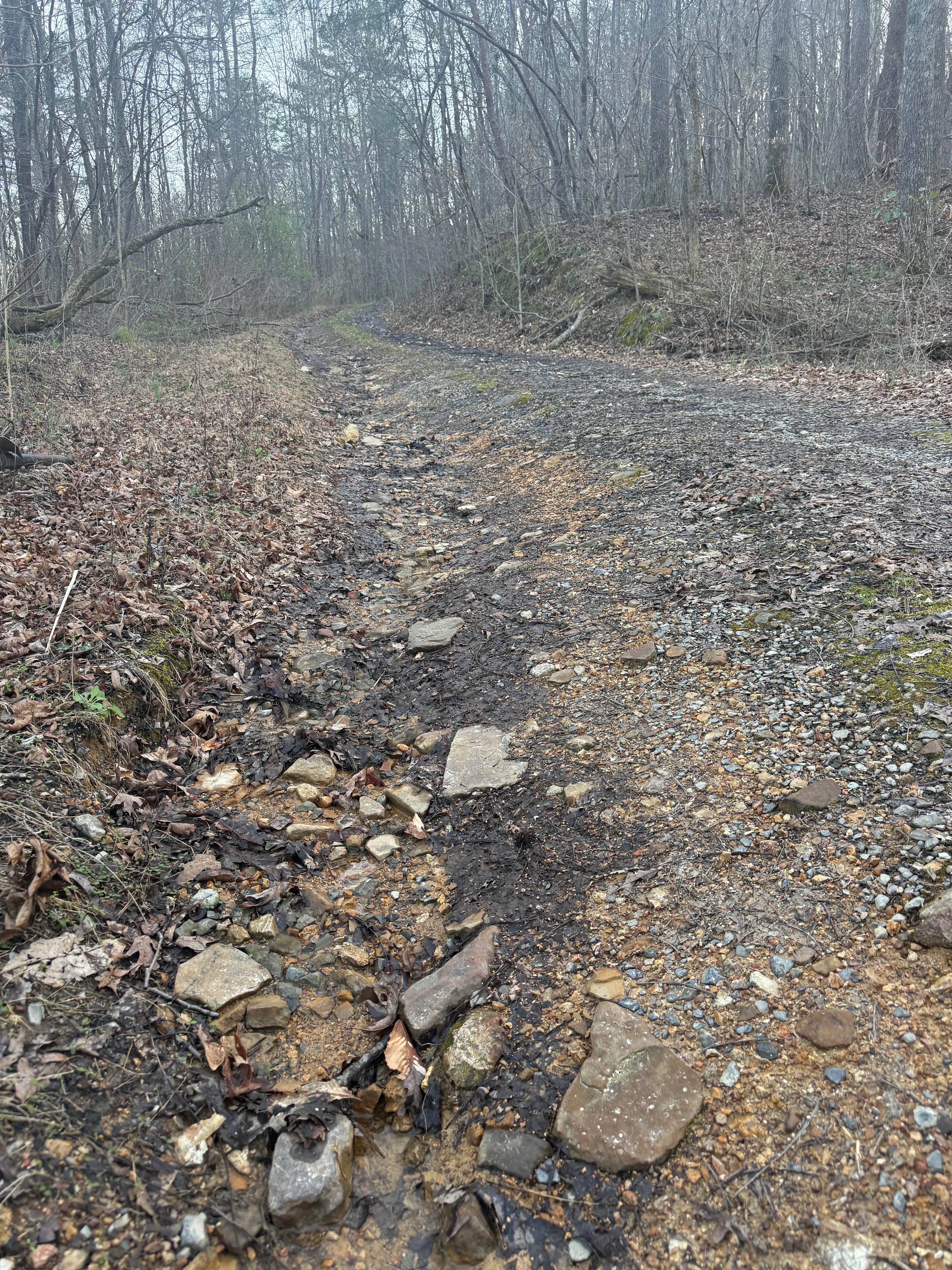
This is a county-maintained road, primarily gravel with some dirt sections where washouts have occurred. Roughly 500 yards after the pavement ends coming from Aviation Drive, there is a small concrete bridge with a very narrow and soft dirt/mud area that is very close to a drop-off into water on the side. Extreme caution should be taken here. Continue from here to other dirt/gravel roads in this area. The road is generally smooth and suitable for most vehicles. It serves as an easy and scenic route, part of a network of back roads ideal for a relaxing day drive. The road is mostly single lane with areas for passing. Please note that while this is a public road, the land on both sides is private property--stay on the main road and respect posted boundaries. As a county road, it is open only to licensed vehicles. Cell phone is decent in the area, but be prepared for the possible loss of signal since this area is somewhat rural.
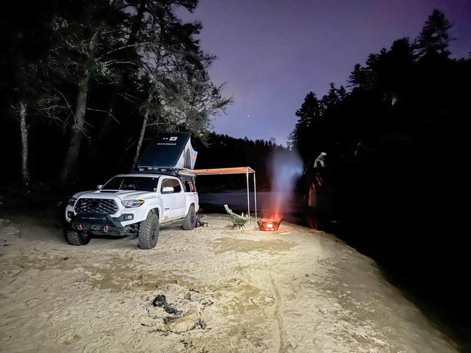
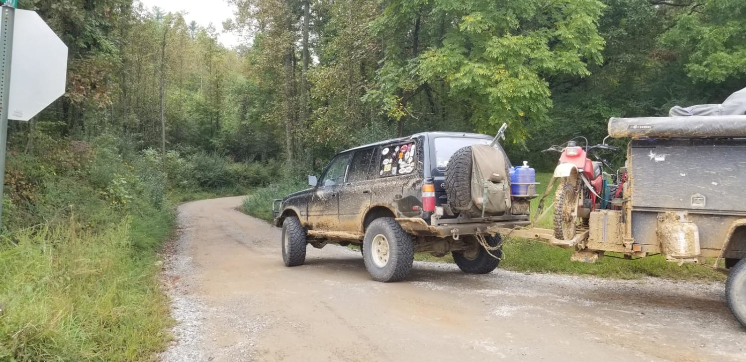
Photos of Moss Road

Difficulty
This county-maintained road is suitable for nearly any vehicle, offering a generally smooth ride with gravel and some dirt sections. However, after heavy rainfall, you may encounter very muddy areas at the bridge that are very narrow with water drop-off on the sides that may wash out completely over time. Care must be taken at all times in this area.
Status Reports
Moss Road can be accessed by the following ride types:
- High-Clearance 4x4
- SUV
Moss Road Map
Popular Trails
Stover Creek Ridge - FS 207A
Winding Stair Mountain Trail
The onX Offroad Difference
onX Offroad combines trail photos, descriptions, difficulty ratings, width restrictions, seasonality, and more in a user-friendly interface. Available on all devices, with offline access and full compatibility with CarPlay and Android Auto. Discover what you’re missing today!