Sandy Ford
Total Miles
4.5
Technical Rating
Best Time
Spring, Summer, Fall, Winter
Trail Type
Full-Width Road
Accessible By
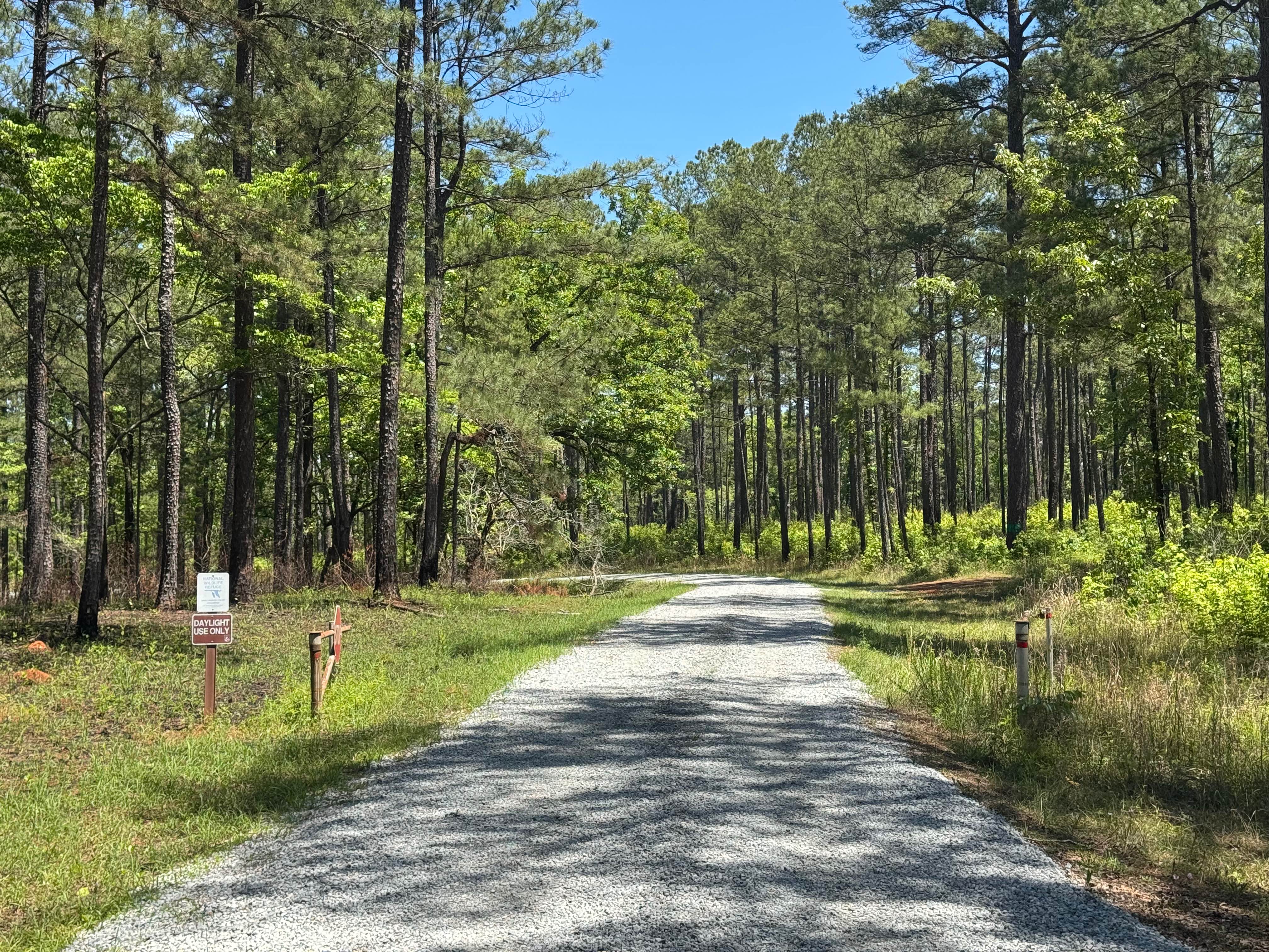
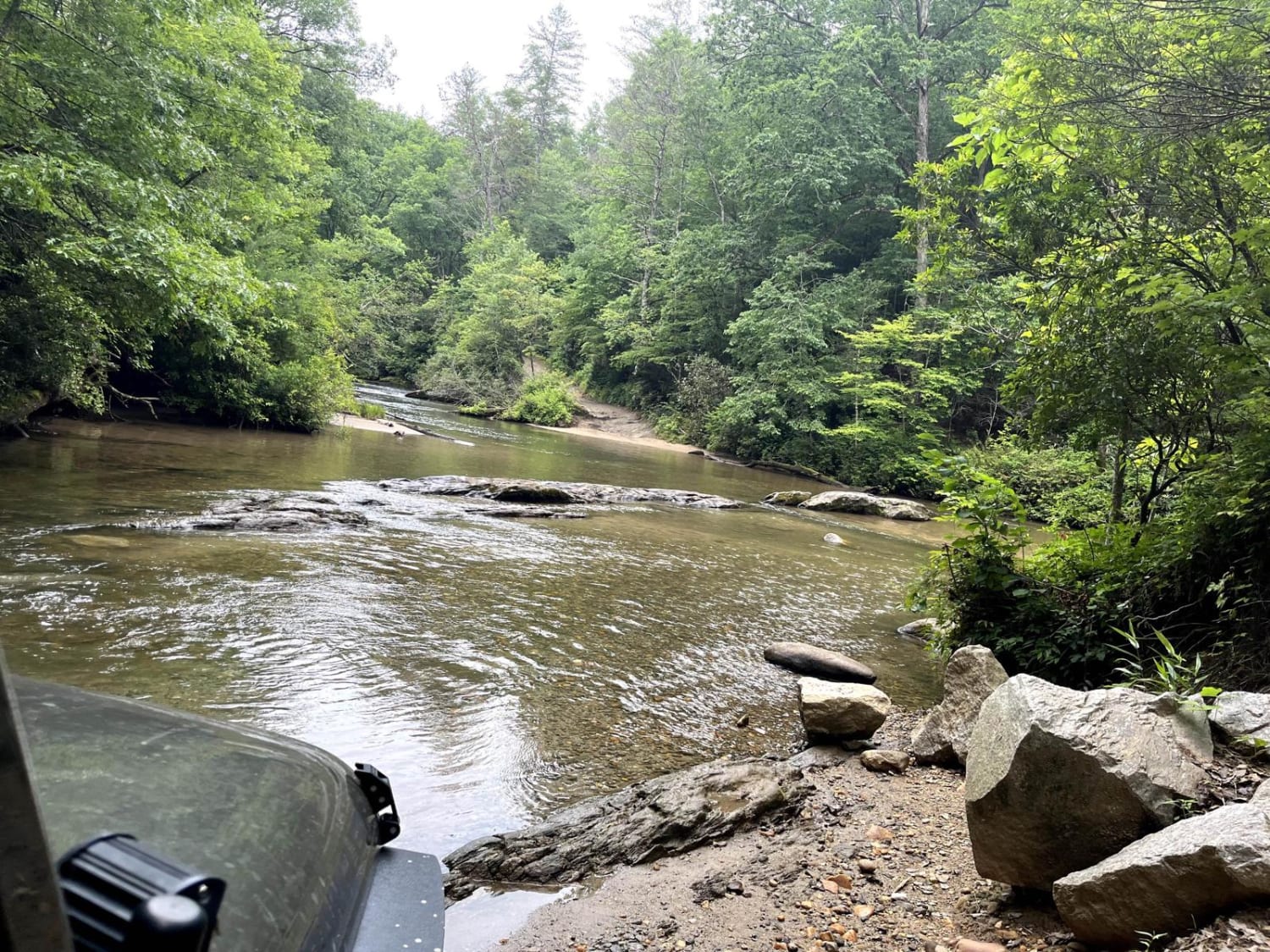
Trail Overview
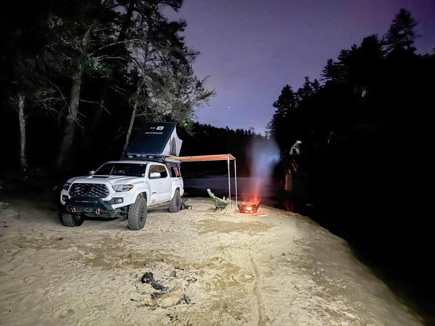
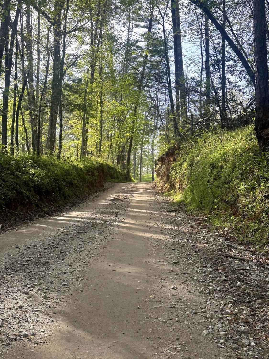
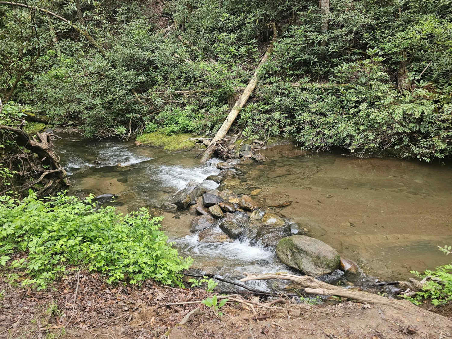
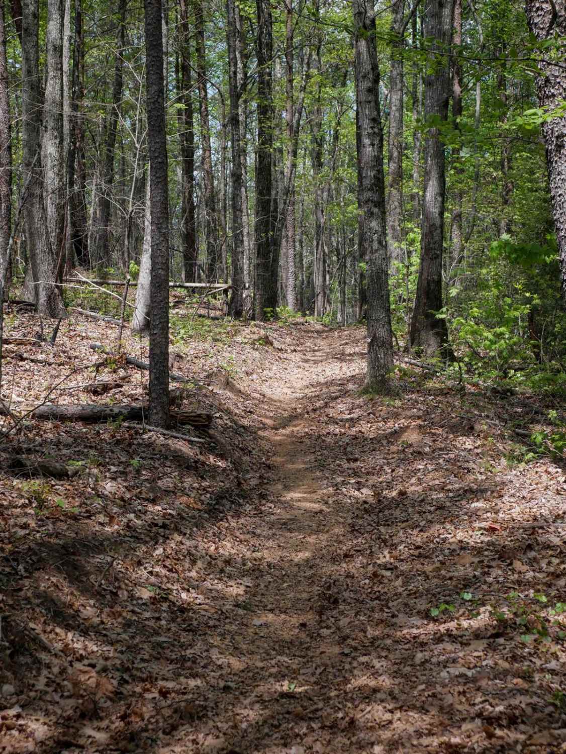
Sandy Ford is a short trail that holds an amazing surprise at the end. The road is regularly maintained; the biggest obstacle is a creek crossing that gets up to 18 inches deep but is passable by any truck or SUV. There are dispersed campsites along the route and if you're lucky to find it empty, there is a beachfront spot on the Chattooga River.
Photos of Sandy Ford
Difficulty
Most of the trail is well-maintained gravel with a single shallow water crossing being the most difficult section. It still remains passable for any SUV or truck.
Status Reports
Sandy Ford can be accessed by the following ride types:
- High-Clearance 4x4
- SUV
- SxS (60")
- Dirt Bike
Sandy Ford Map
Popular Trails
Tuckaluge Creek Road/153
Peggy Creek Connector H
Pasture Field
Earls Ford Road
The onX Offroad Difference
onX Offroad combines trail photos, descriptions, difficulty ratings, width restrictions, seasonality, and more in a user-friendly interface. Available on all devices, with offline access and full compatibility with CarPlay and Android Auto. Discover what you’re missing today!