Off-Road Trails in Georgia
Discover off-road trails in Georgia
Learn more about Cohutta Wilderness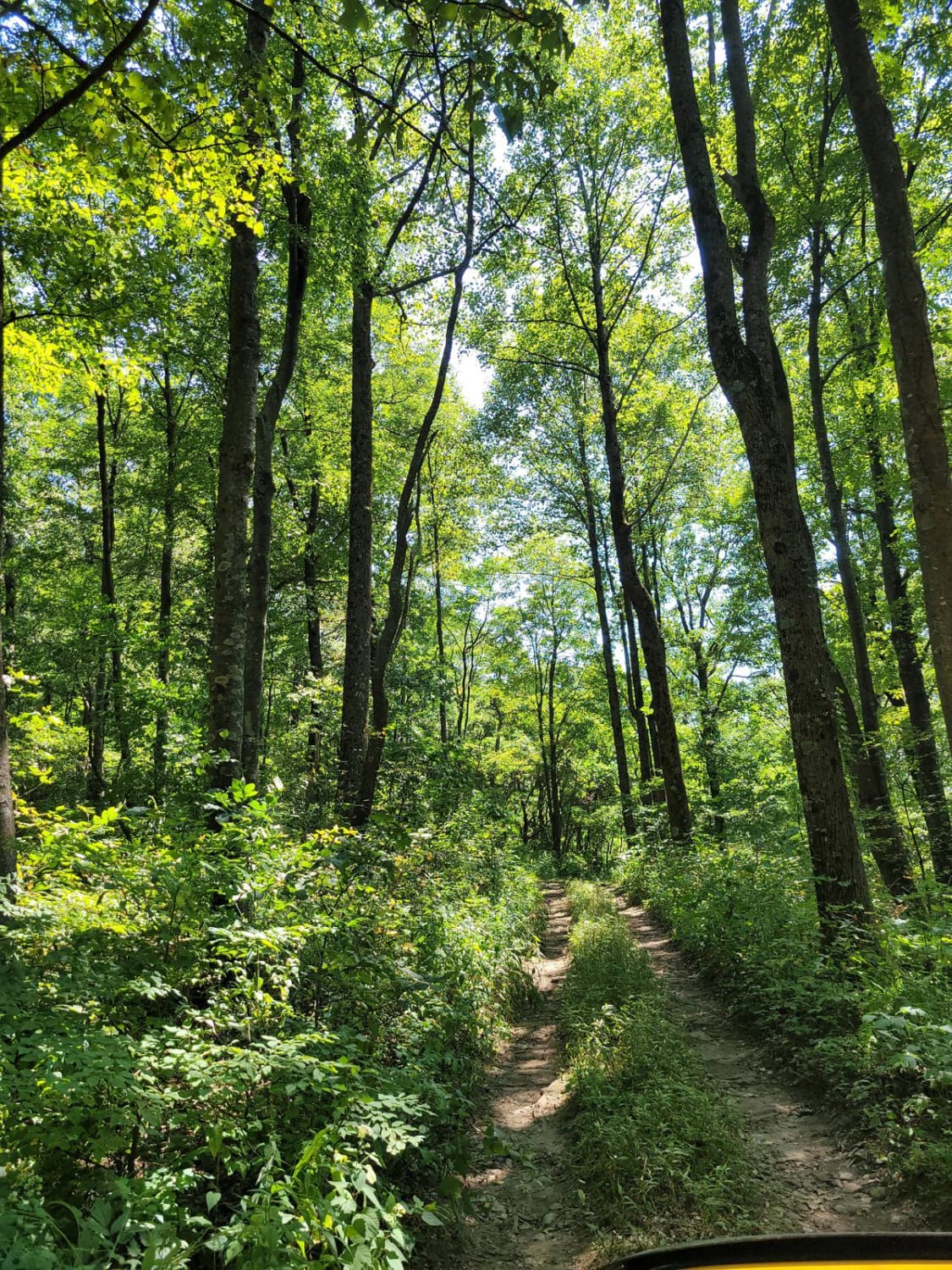
Cohutta Wilderness
Total Miles
8.3
Tech Rating
Easy
Best Time
Spring, Summer, Fall
Learn more about COL Hough Road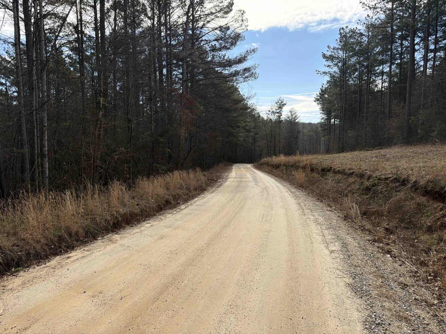
COL Hough Road
Total Miles
2.1
Tech Rating
Easy
Best Time
Spring, Summer, Fall
Learn more about Cold Mountain - FSR 295
Cold Mountain - FSR 295
Total Miles
2.4
Tech Rating
Easy
Best Time
Fall
Learn more about Cold Springs Road to Billups - FS 1245
Cold Springs Road to Billups - FS 1245
Total Miles
3.5
Tech Rating
Easy
Best Time
Spring, Summer, Fall, Winter
Learn more about Collard Patch Lake Access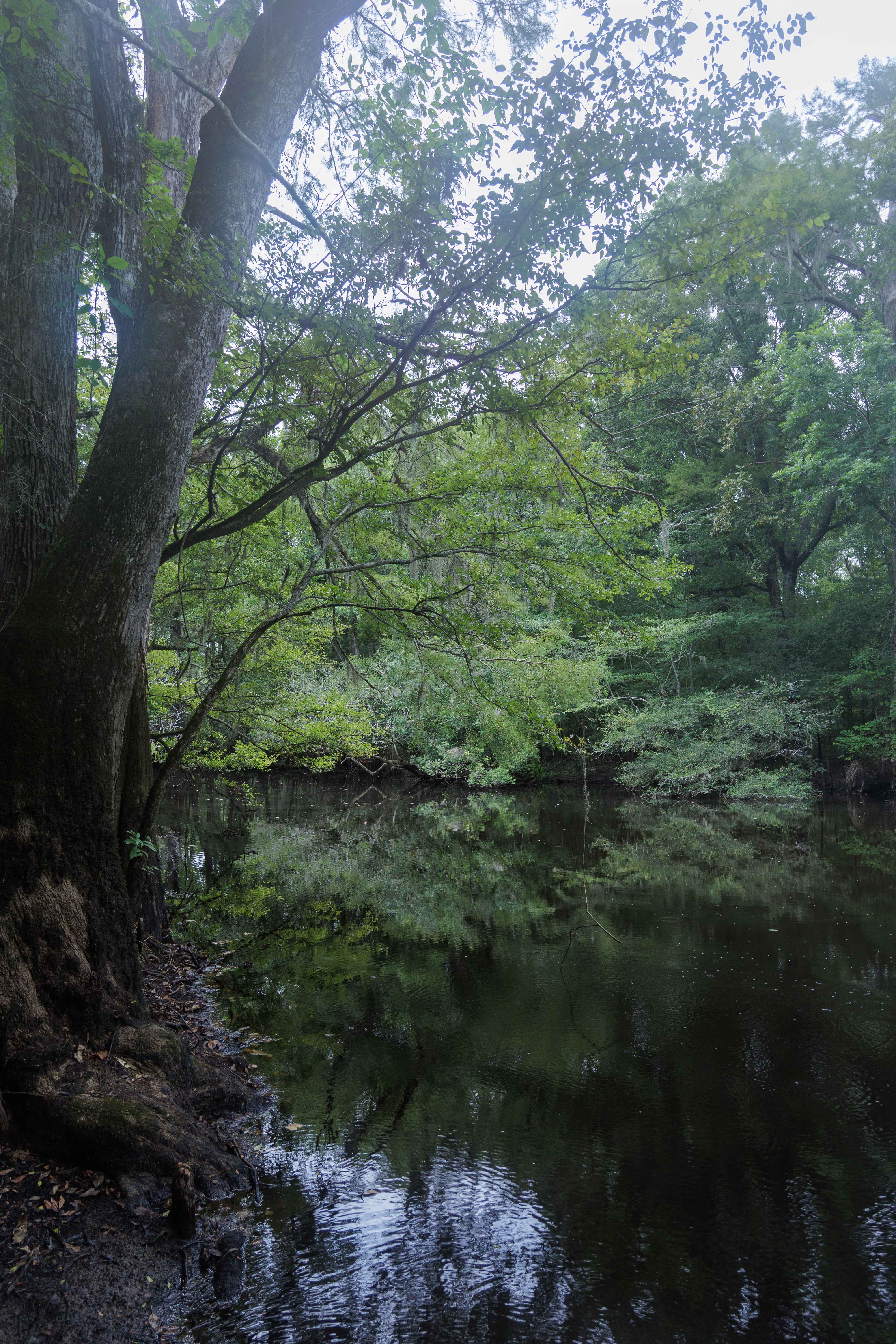
Collard Patch Lake Access
Total Miles
1.5
Tech Rating
Easy
Best Time
Spring, Summer, Fall, Winter
Learn more about Cooper Creek FS Road 33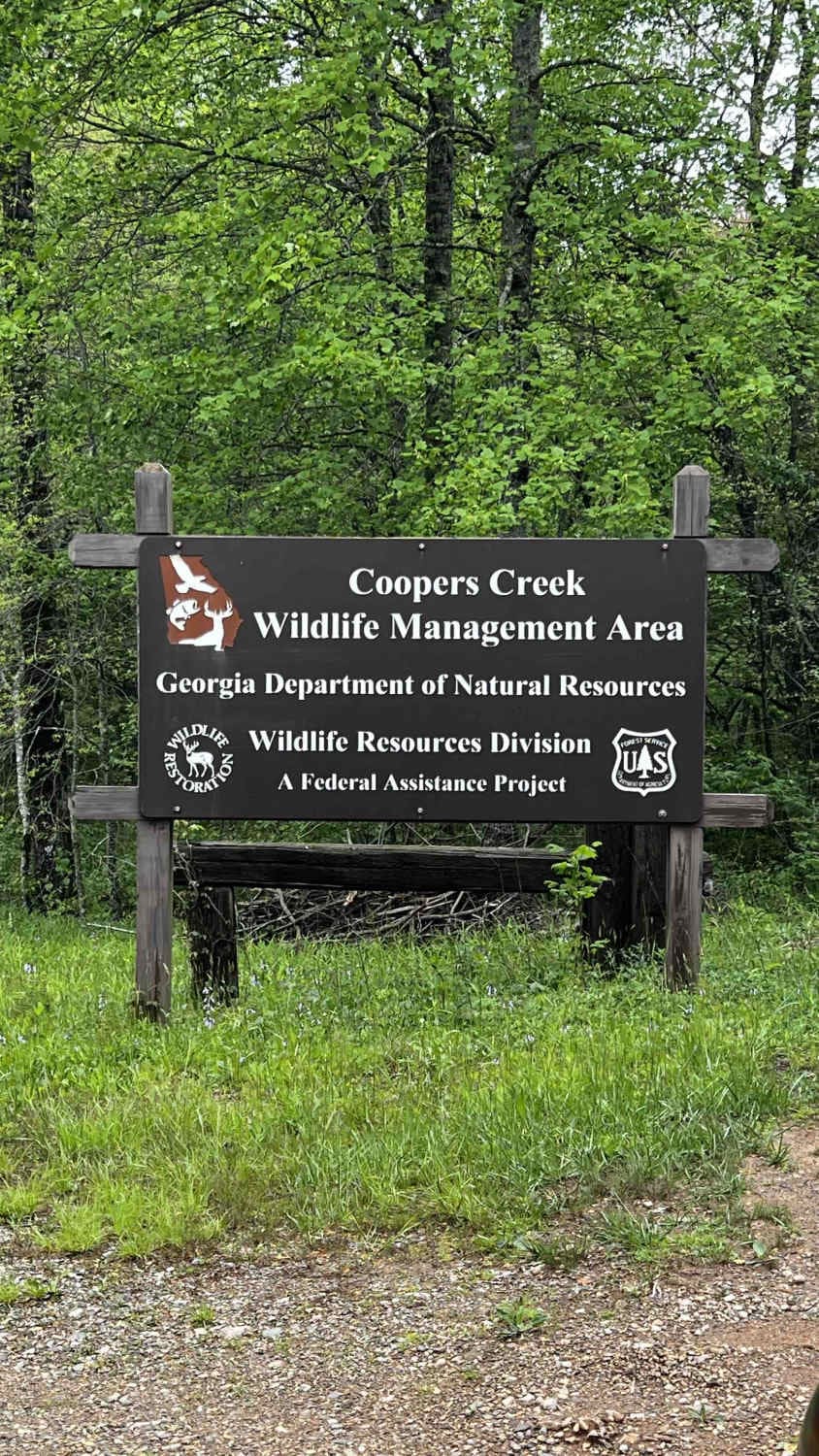
Cooper Creek FS Road 33
Total Miles
5.6
Tech Rating
Easy
Best Time
Spring, Summer, Fall, Winter
Learn more about Cooper's Gap
Cooper's Gap
Total Miles
2.8
Tech Rating
Easy
Best Time
Spring, Summer, Fall, Winter
Learn more about Copperhead Trail B 
Copperhead Trail B
Total Miles
0.3
Tech Rating
Easy
Best Time
Fall, Summer, Spring
Learn more about Corbin Creek - FR 698
Corbin Creek - FR 698
Total Miles
10.1
Tech Rating
Easy
Best Time
Fall, Summer, Spring
Learn more about Crow Creek - FS 27
Crow Creek - FS 27
Total Miles
3.3
Tech Rating
Moderate
Best Time
Spring, Summer, Fall
Learn more about Currahee Mountain Road FSR 62
Currahee Mountain Road FSR 62
Total Miles
2.8
Tech Rating
Easy
Best Time
Spring, Summer, Fall, Winter
Learn more about Dan Gun - FS 1016
Dan Gun - FS 1016
Total Miles
2.3
Tech Rating
Easy
Best Time
Spring, Summer, Fall, Winter
Learn more about Darnell Creek - FR 150
Darnell Creek - FR 150
Total Miles
5.4
Tech Rating
Moderate
Best Time
Fall, Summer, Spring
Learn more about Davenport Mountain OHV Trails
Davenport Mountain OHV Trails
Total Miles
6.4
Tech Rating
Easy
Best Time
Spring, Fall, Summer
Learn more about Deaden Timber Road - FS 825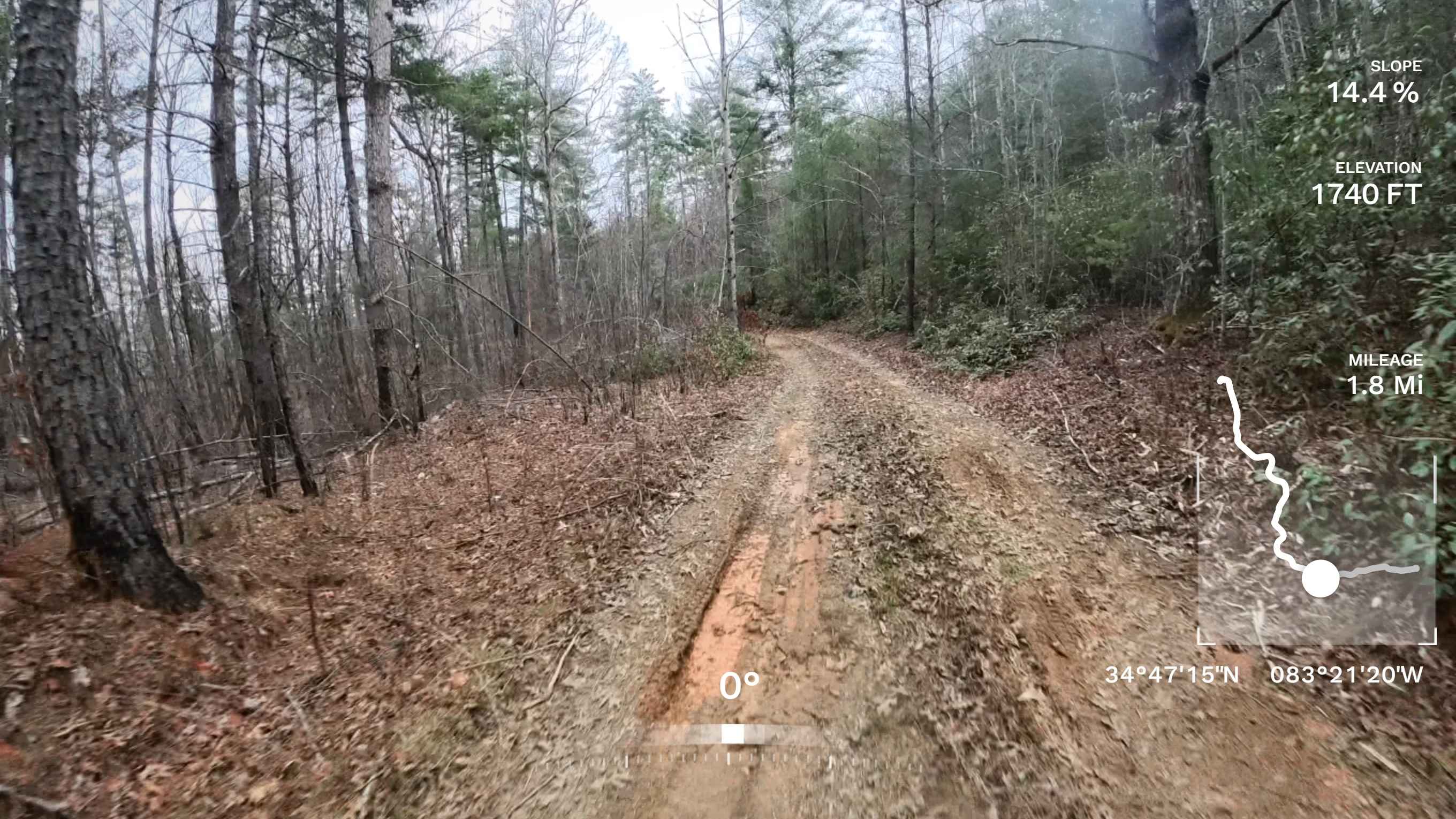
Deaden Timber Road - FS 825
Total Miles
2.3
Tech Rating
Easy
Best Time
Spring, Summer, Fall, Winter
Learn more about Dean Road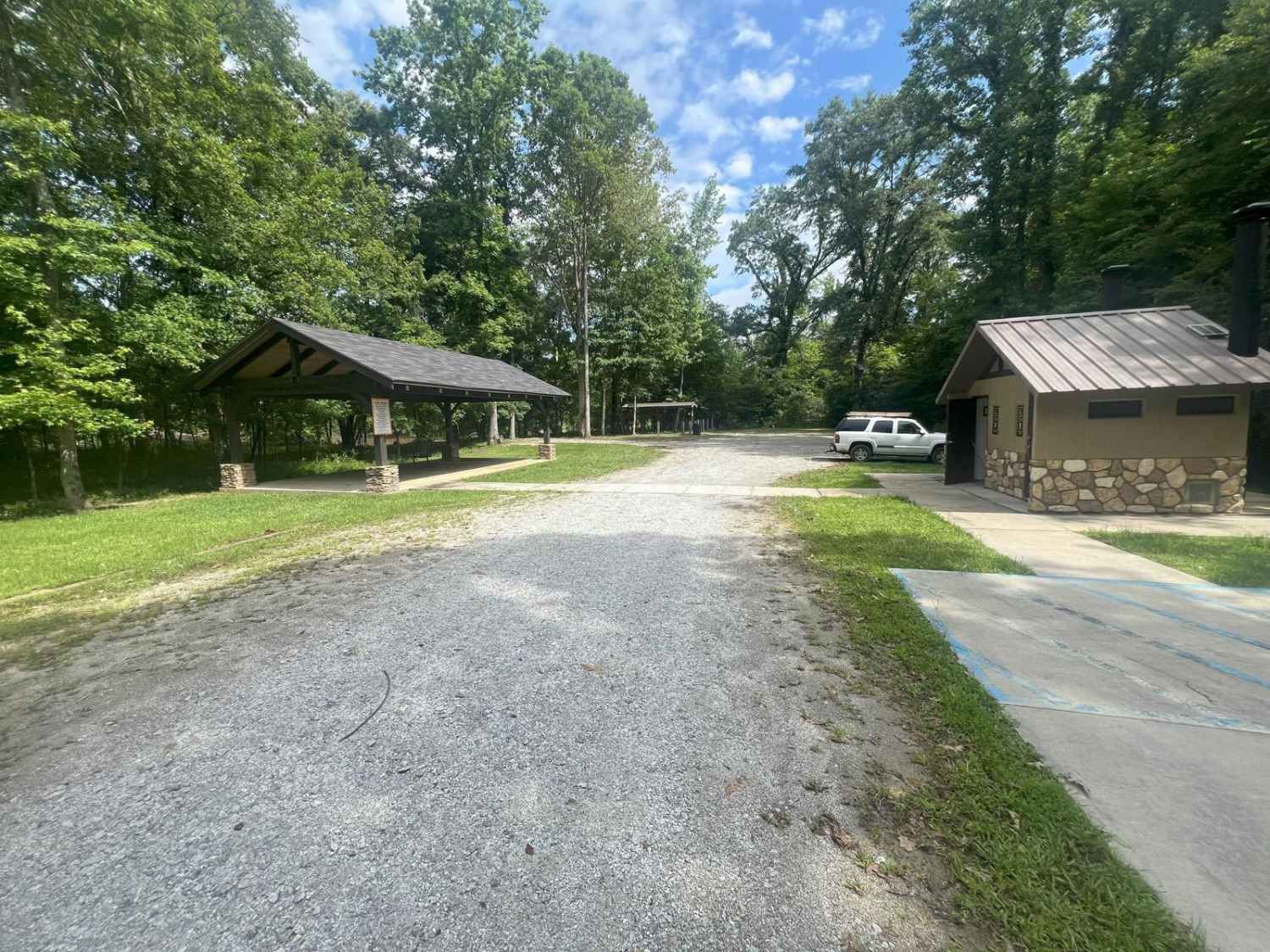
Dean Road
Total Miles
0.9
Tech Rating
Easy
Best Time
Spring, Fall, Winter, Summer
Learn more about Devil's Backbone - 93B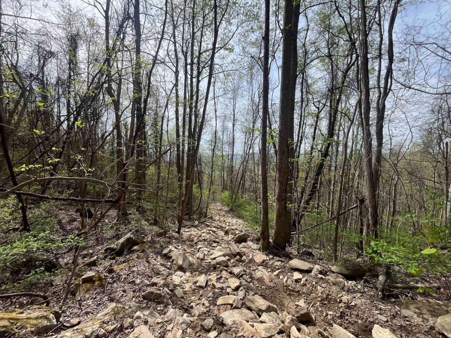
Devil's Backbone - 93B
Total Miles
0.5
Tech Rating
Extreme
Best Time
Spring, Summer
Learn more about Dicks Creek 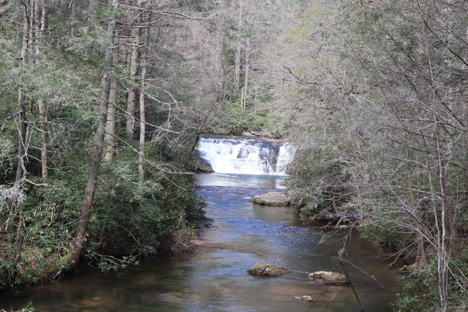
Dicks Creek
Total Miles
4.2
Tech Rating
Easy
Best Time
Summer, Spring, Fall, Winter
Learn more about Dockey Lake Recreation Area Trail
Dockey Lake Recreation Area Trail
Total Miles
1.8
Tech Rating
Easy
Best Time
Summer, Fall
ATV trails in Georgia


Learn more about 181-B-O connector Unlabeled
181-B-O connector Unlabeled
Total Miles
0.0
Tech Rating
Easy
Best Time
Spring, Summer, Fall
UTV/side-by-side trails in Georgia
Learn more about 3 - Peeples Lake
3 - Peeples Lake
Total Miles
3.5
Tech Rating
Easy
Best Time
Spring, Summer, Fall
Learn more about 631- Tatum Lead
631- Tatum Lead
Total Miles
7.4
Tech Rating
Easy
Best Time
Spring, Summer, Fall
Learn more about Alexander Hollow Trail
Alexander Hollow Trail
Total Miles
1.5
Tech Rating
Easy
Best Time
Spring, Summer, Fall, Winter
Learn more about Alexander Ridge Trail
Alexander Ridge Trail
Total Miles
3.9
Tech Rating
Easy
Best Time
Spring, Summer, Fall, Winter
The onX Offroad Difference
onX Offroad combines trail photos, descriptions, difficulty ratings, width restrictions, seasonality, and more in a user-friendly interface. Available on all devices, with offline access and full compatibility with CarPlay and Android Auto. Discover what you’re missing today!