Crow Creek - FS 27
Total Miles
3.3
Technical Rating
Best Time
Spring, Summer, Fall
Trail Type
Full-Width Road
Accessible By
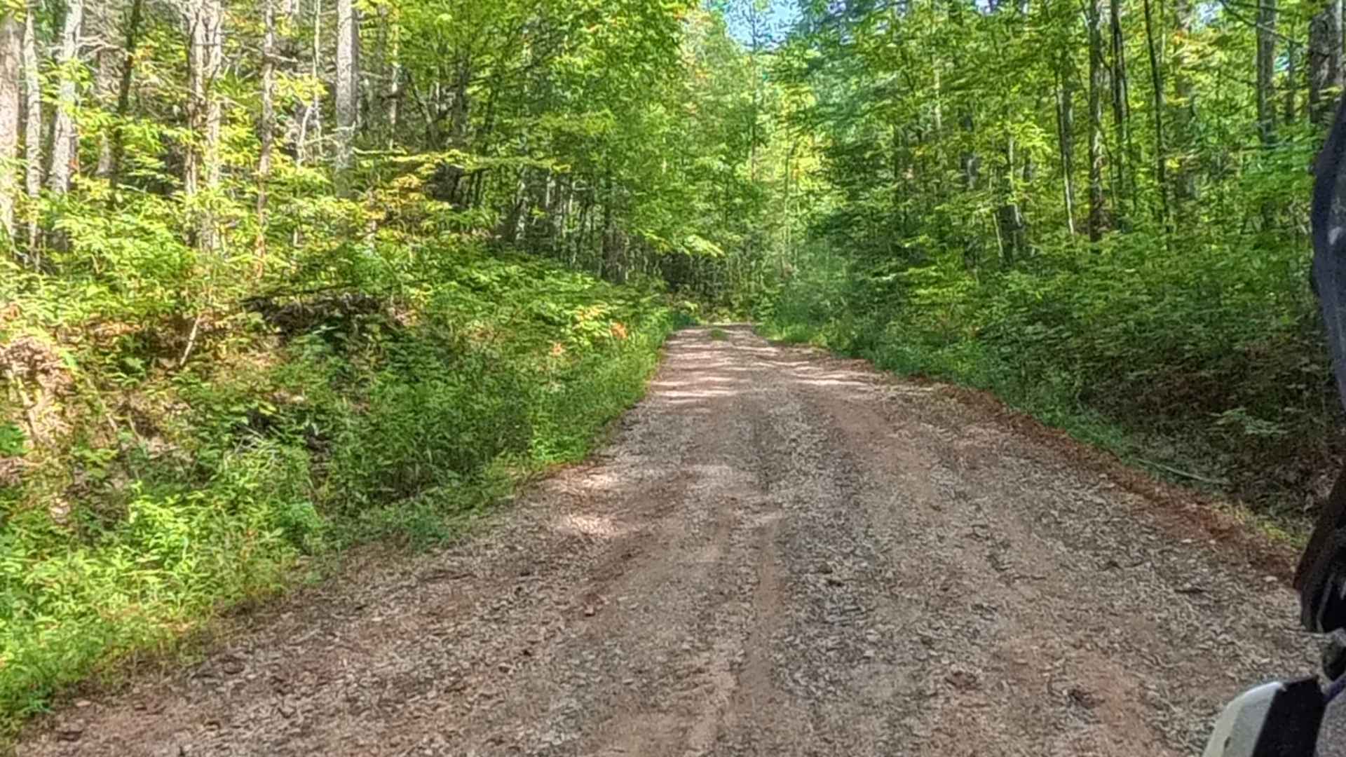
Trail Overview
The Crow Creek trail, also known as FS 27, takes you from the West Seed Lake Road along the Crow Creek to a hiking trail to the Crow Creek Falls and primitive campsites along the creek. It is a gravel forestry road with some soft sand spots that can turn into 2-foot deep mud holes after heavy rain. The road is not always wide enough for two vehicles to pass. 4WD and High-Clearance are recommended, especially during Winter. All vehicles must be street legal. The Chattahoochee-Oconee National Forest provides the finest outdoor recreation opportunities and natural resources in Georgia. Featuring nearly 867,000 acres across 26 counties, thousands of miles of clear-running streams and rivers, approximately 850 miles of recreation trails, and dozens of campgrounds, picnic areas, and other recreation activity opportunities, these lands are rich in natural scenery, history, and culture. The Chattahoochee-Oconee National Forest offers a variety of activities such as camping, OHV riding, boating, and target shooting.
Photos of Crow Creek - FS 27


Difficulty
This is a narrow road that can be technically challenging after heavy rain or in the winter.
History
Georgia's only national forest offers 867,000 acres of scenery, history, and culture to explore.
Status Reports
Crow Creek - FS 27 can be accessed by the following ride types:
- High-Clearance 4x4
- SUV
- Dirt Bike
Crow Creek - FS 27 Map
Popular Trails

Hickorynut Gap - FSR 797
Chester Knob Upper Trail

Cold Mountain - FSR 295

West Seed Lake Road
The onX Offroad Difference
onX Offroad combines trail photos, descriptions, difficulty ratings, width restrictions, seasonality, and more in a user-friendly interface. Available on all devices, with offline access and full compatibility with CarPlay and Android Auto. Discover what you’re missing today!