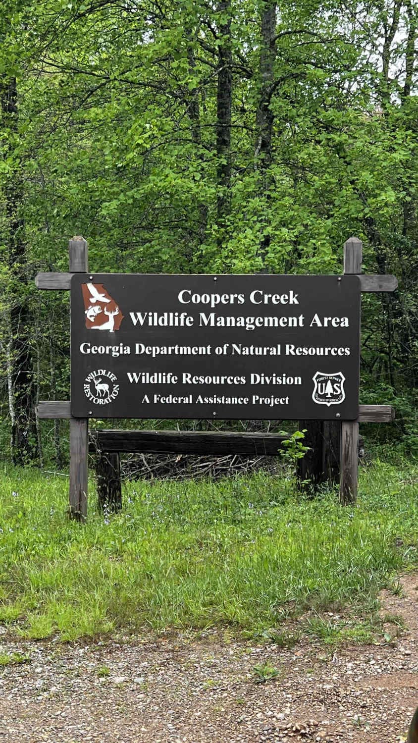
Cooper Creek FS Road 33
Total Miles
5.6
Technical Rating
Best Time
Spring, Summer, Fall, Winter
Trail Type
Full-Width Road
Accessible By
Trail Overview
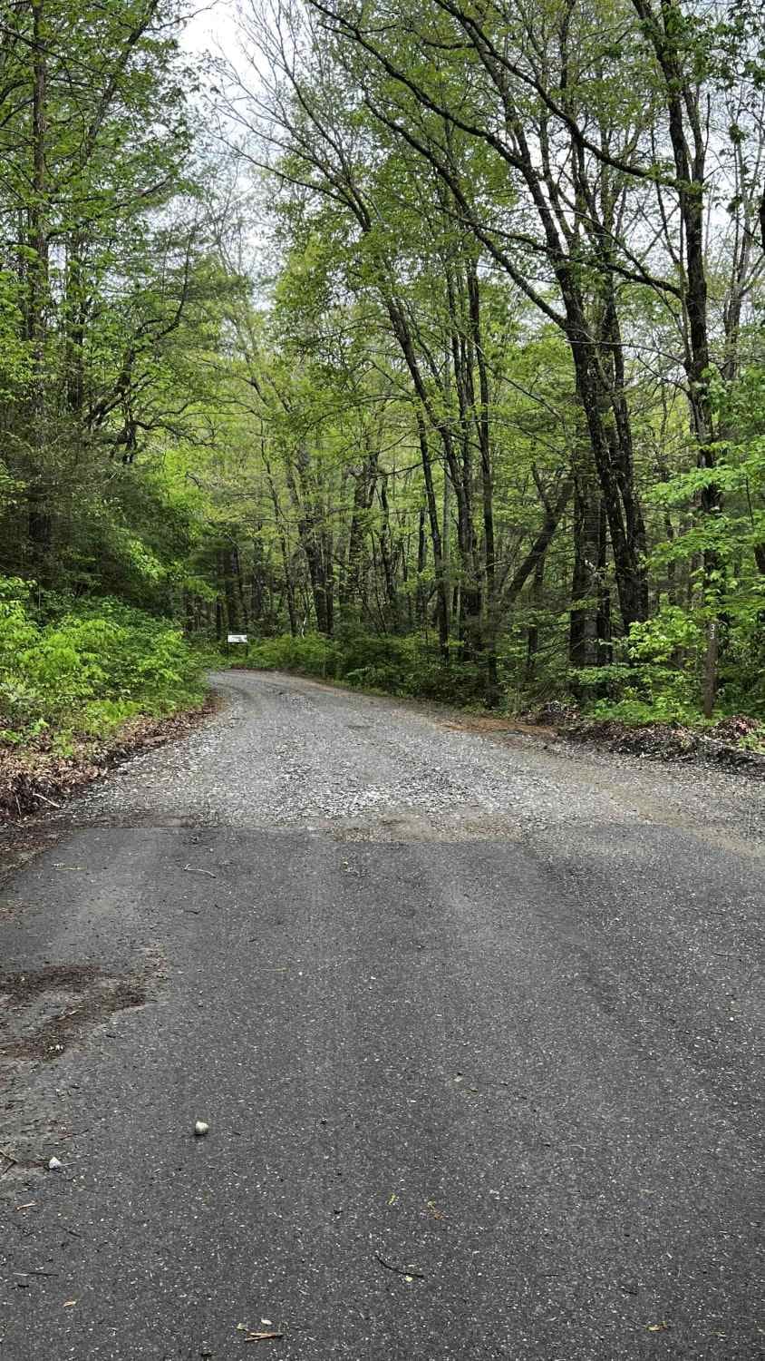
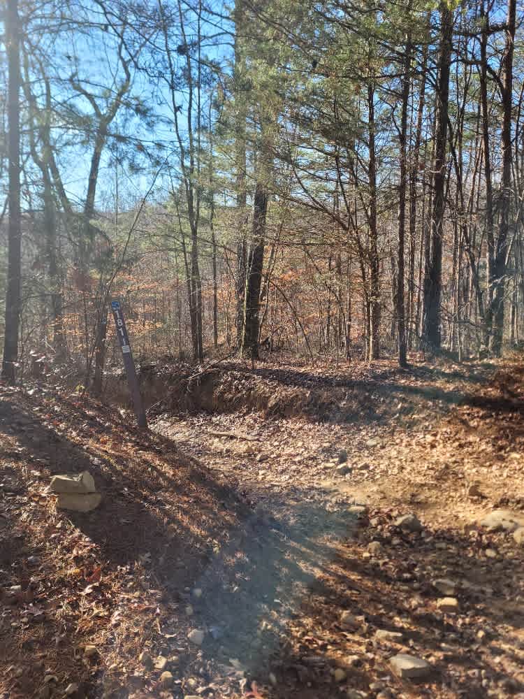
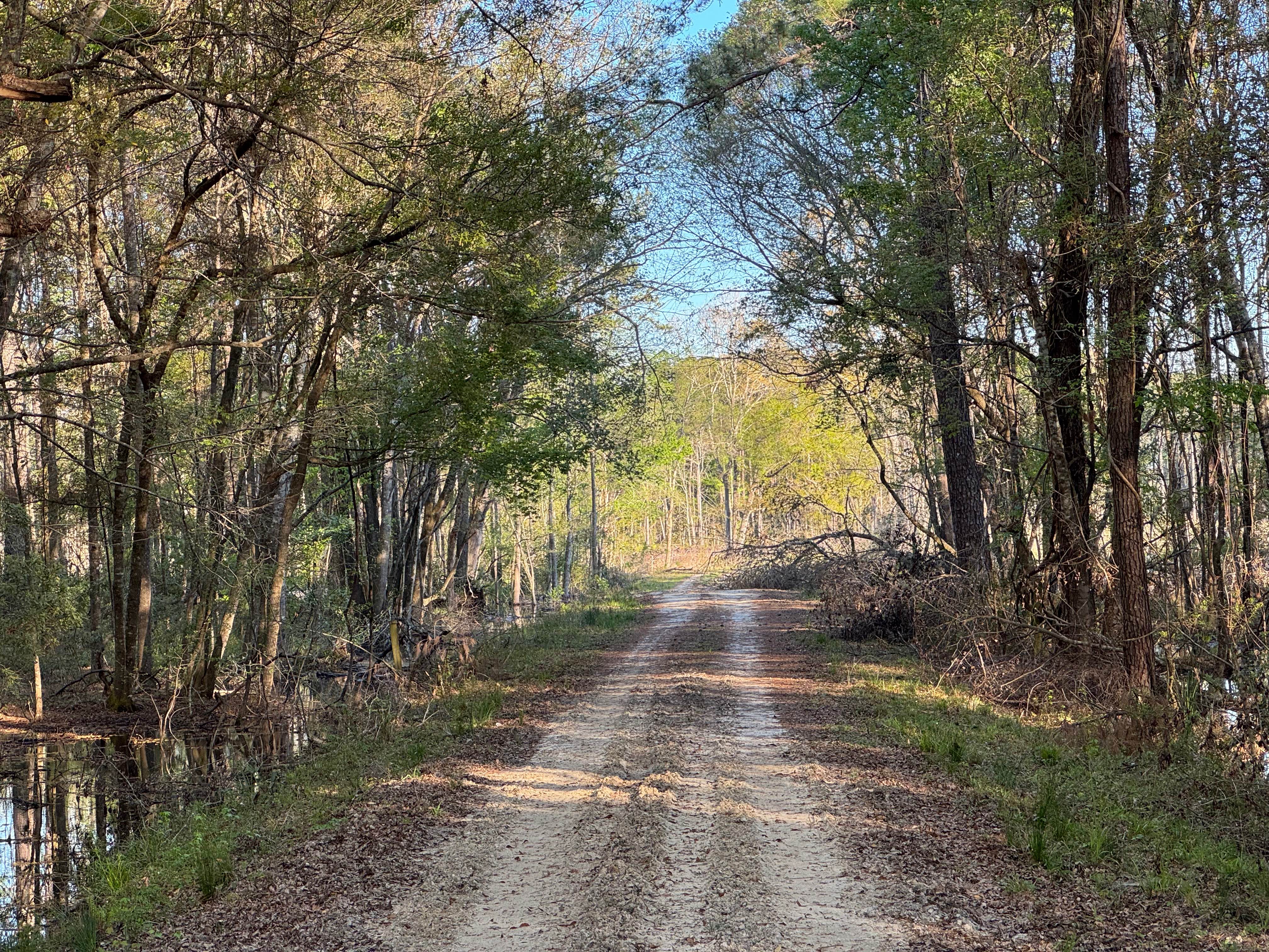
If you are searching for an easy trail with campsites and fishing spots available along the way, this one is for you. Well-known among the Georgia offroading crowd and a favorite with locals, this trail is accessible to anyone, including stock vehicles and 2WD. This road connects to Cavendar Gap Road which leads to the Cooper Creek Scenic Area and the Cooper Creek Recreation Area State Park. From the east trailhead, follow the pavement past the houses until it turns to gravel. This trail, composed of a mix of dirt and gravel, is well-graded and very flat. After a rain, it does become muddy, although not deep, but can get slick for non-offroad tires. Running alongside the creek, the trail does have various dispersed campsites as well as a camping area right on the creek. The dispersed campsites are not easy to fish from and though you may see the creek, they are not directly on the water. The large camping and fishing spot has about 5 large sites, lined off and next to each other, directly on the creek. To access these spots, there is a short, steep, and fairly rutted entrance on the right when driving from the east. It is recommended to have high clearance, and if it has rained, 4WD to access this area. The west trailhead dead-ends into Bryant Creek Road/FS Road 33A to the right (seasonally open), and Cavendar Gap Road to the left, according to the FS maps. Note that if you are referencing Google Maps, it will say this trail continues to the left. Also note that as you approach the west trailhead, you are likely to lose cell service, so make sure to download offline maps before venturing out in this area. This trail is part of the Chattahoochee National Forest in the Blue Ridge Ranger District. It is open year-round. The status of this and other trails can be found on the FS website here: https://www.fs.usda.gov/recmain/conf/recreation. Links include information on passes, day rates, and an interactive map to check on trail status. On the interactive map page, you can also access the Google Map of the FS trails for real-time status and trail information. This trail is not considered part of the GA OHV trails which require a special pass. Depending on the activity you'd like to do on this trail before/after riding it, a pass could be required. The Chattahoochee-Oconee National Forest accepts a few different passes, including National Forest Annual Passes. Note that most activities in the area do not require a day rate, but check the website for updated information.
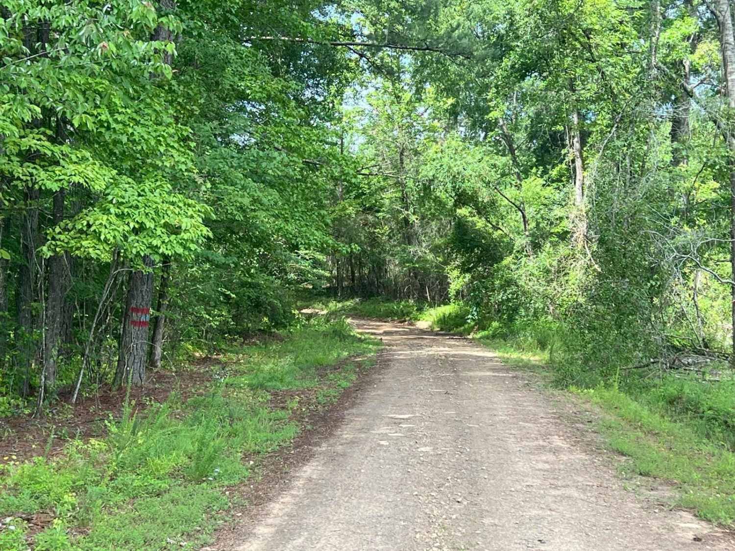
Photos of Cooper Creek FS Road 33
Difficulty
This trail is accessible by road-legal stock vehicles, including passenger cars. Note after a rain it can get slippery and muddy even though the mud is not deep.
Status Reports
Cooper Creek FS Road 33 can be accessed by the following ride types:
- High-Clearance 4x4
- SUV
- SxS (60")
- ATV (50")
- Dirt Bike
Cooper Creek FS Road 33 Map
Popular Trails
Flowing Well Road

Edwards Road
The onX Offroad Difference
onX Offroad combines trail photos, descriptions, difficulty ratings, width restrictions, seasonality, and more in a user-friendly interface. Available on all devices, with offline access and full compatibility with CarPlay and Android Auto. Discover what you’re missing today!