Off-Road Trails in Georgia
Discover off-road trails in Georgia
Learn more about Alexander Hollow Trail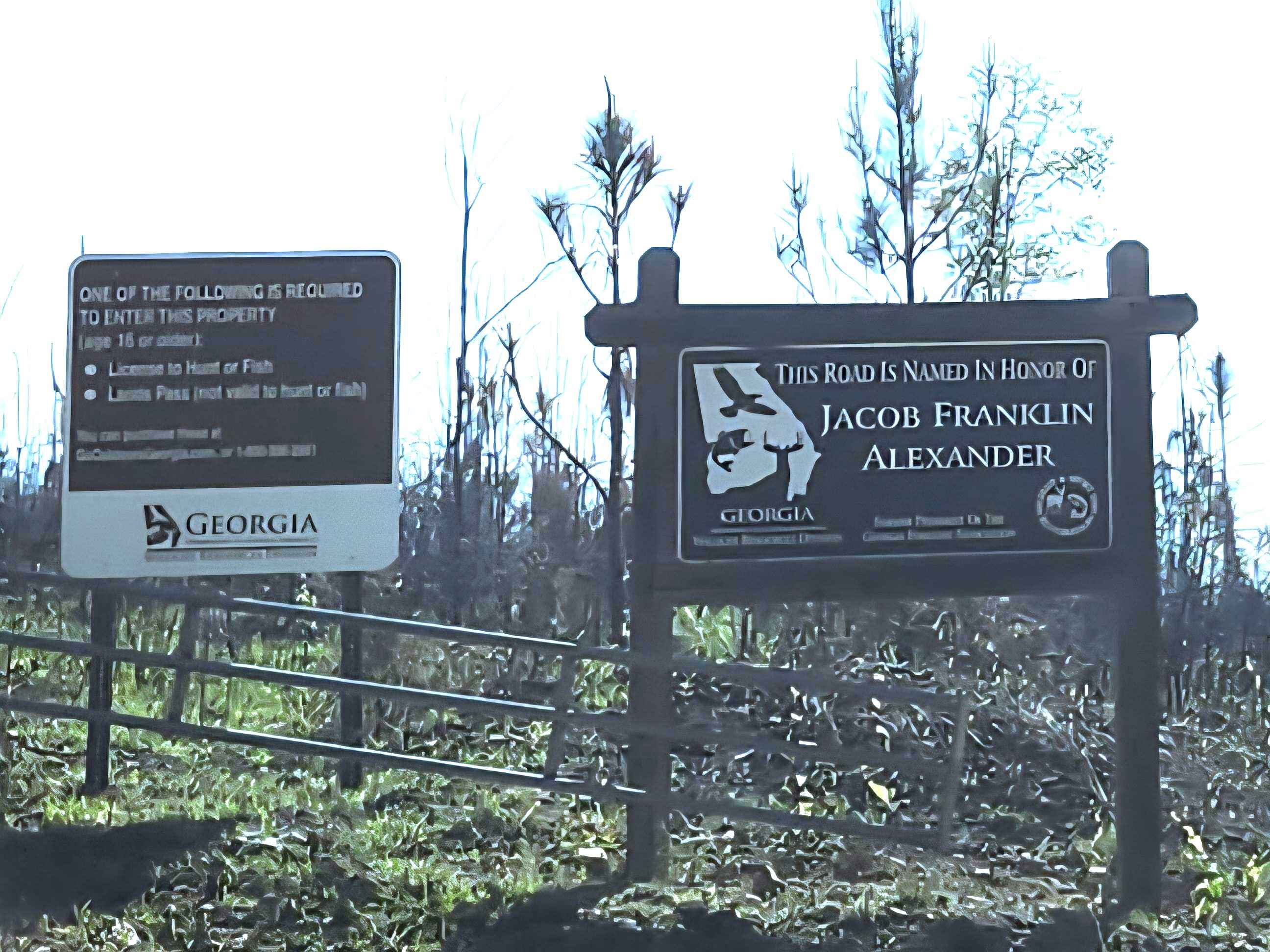
Alexander Hollow Trail
Total Miles
1.5
Tech Rating
Easy
Best Time
Spring, Summer, Fall, Winter
Learn more about Alexander Ridge Trail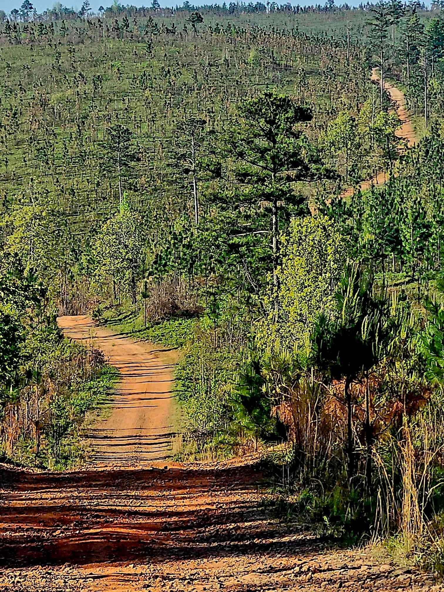
Alexander Ridge Trail
Total Miles
3.9
Tech Rating
Easy
Best Time
Spring, Summer, Fall, Winter
Learn more about Amicalola Creek - FS 46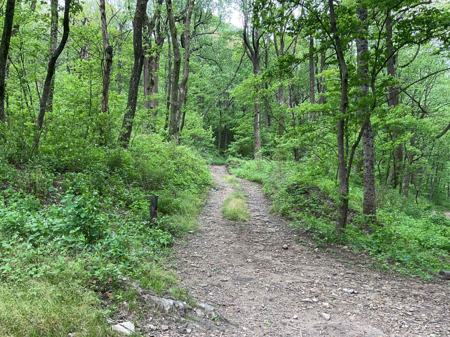
Amicalola Creek - FS 46
Total Miles
4.3
Tech Rating
Easy
Best Time
Spring, Summer, Fall
Learn more about Anderson Bottoms Road
Anderson Bottoms Road
Total Miles
1.9
Tech Rating
Easy
Best Time
Spring, Summer, Fall, Winter
Learn more about Ann Gap - FS 410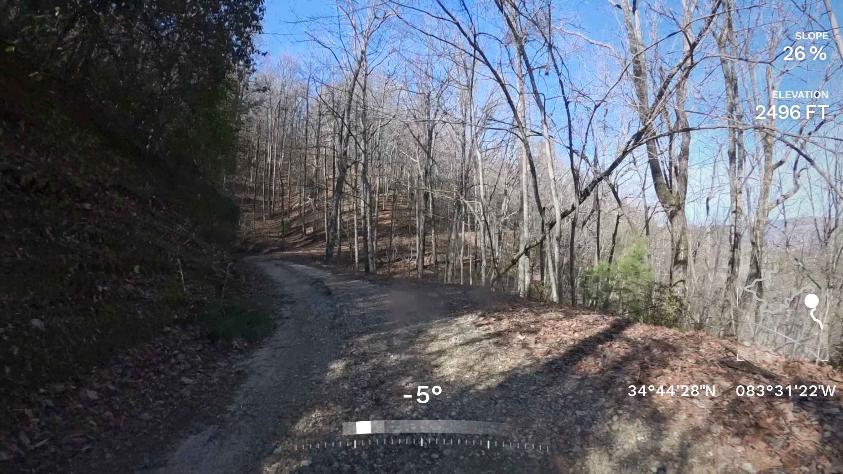
Ann Gap - FS 410
Total Miles
0.7
Tech Rating
Easy
Best Time
Winter, Fall, Summer, Spring
Learn more about Ann's Gap - Oakley Mountain OHV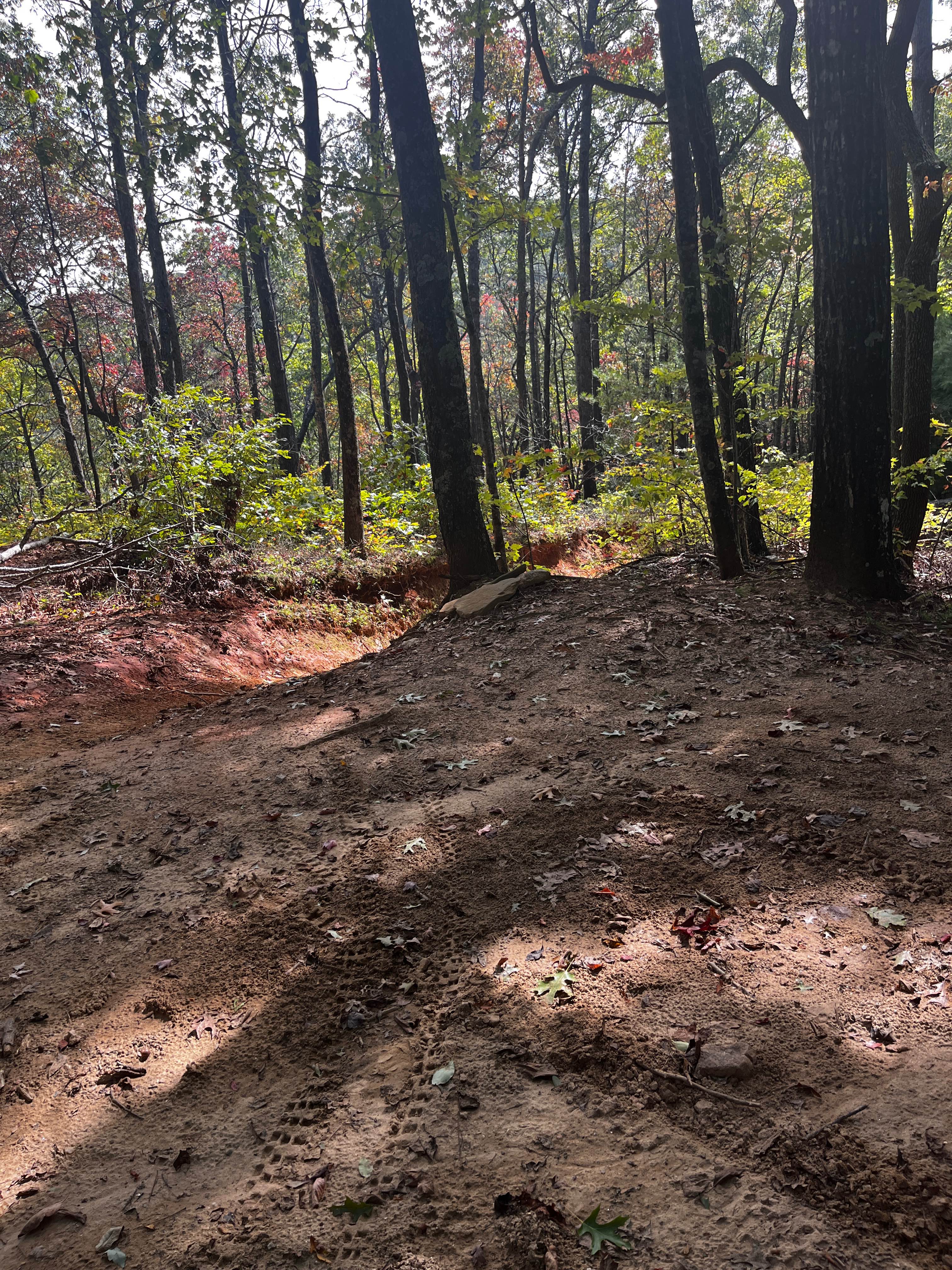
Ann's Gap - Oakley Mountain OHV
Total Miles
0.3
Tech Rating
Extreme
Best Time
Spring, Summer, Fall

Learn more about Barnhart-Sutz Trail
Barnhart-Sutz Trail
Total Miles
0.5
Tech Rating
Easy
Best Time
Spring, Summer
Learn more about Barrington Ferry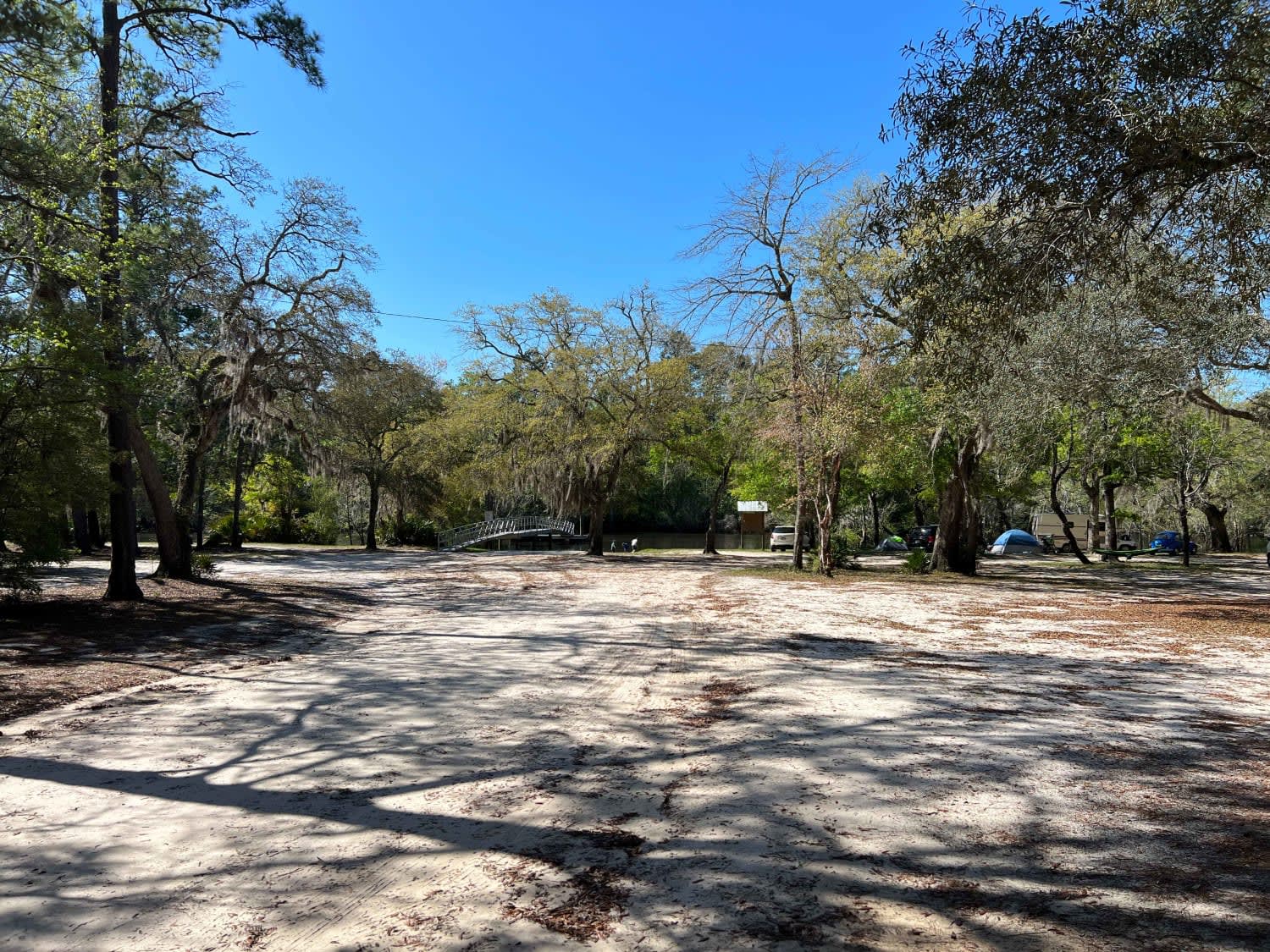
Barrington Ferry
Total Miles
3.5
Tech Rating
Easy
Best Time
Spring, Summer, Fall, Winter
Learn more about Barron Russell Road
Barron Russell Road
Total Miles
6.7
Tech Rating
Easy
Best Time
Spring, Summer, Fall, Winter
Learn more about Bear Creek Road
Bear Creek Road
Total Miles
2.3
Tech Rating
Easy
Best Time
Summer, Fall, Winter, Spring
Learn more about Bear Gap Road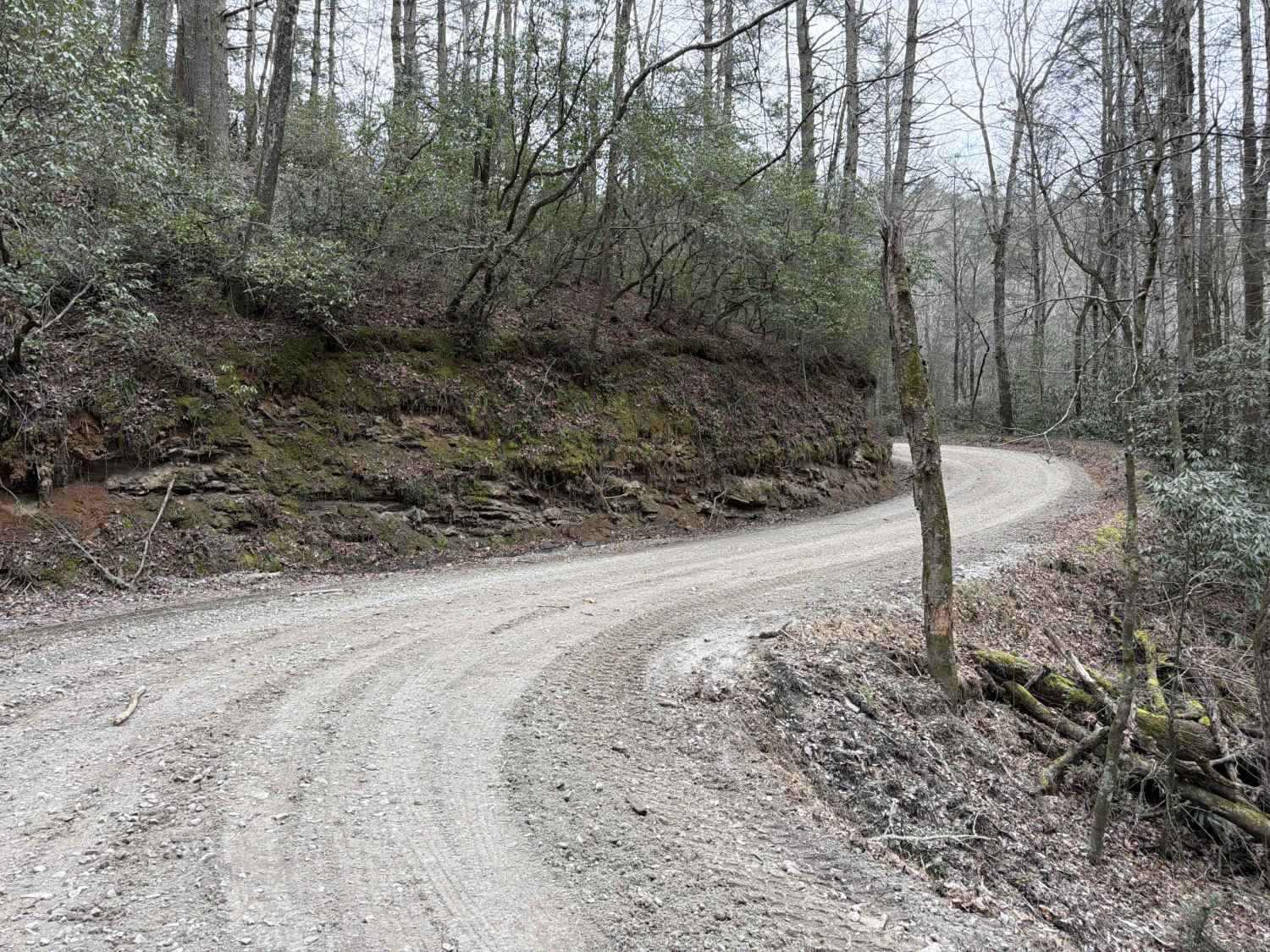
Bear Gap Road
Total Miles
5.7
Tech Rating
Easy
Best Time
Spring, Summer, Fall
Learn more about Beasley Knob 93a
Beasley Knob 93a
Total Miles
1.9
Tech Rating
Easy
Best Time
Summer, Fall, Spring
Learn more about Beasley Knob Trail 93
Beasley Knob Trail 93
Total Miles
3.3
Tech Rating
Moderate
Best Time
Summer, Fall
Learn more about Beasley Knob Trail 93D
Beasley Knob Trail 93D
Total Miles
2.5
Tech Rating
Difficult
Best Time
Spring, Summer, Fall
Learn more about Beasley Knob Trail 93G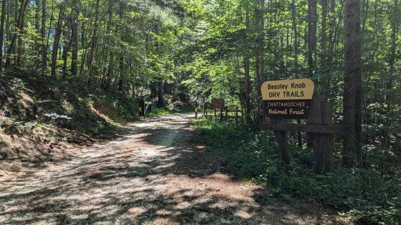
Beasley Knob Trail 93G
Total Miles
2.7
Tech Rating
Difficult
Best Time
Spring, Summer, Fall
Learn more about Belle Vista Road
Belle Vista Road
Total Miles
2.7
Tech Rating
Easy
Best Time
Spring, Summer, Fall, Winter
Learn more about Bethel Church Road
Bethel Church Road
Total Miles
2.5
Tech Rating
Easy
Best Time
Spring, Summer, Fall, Winter
ATV trails in Georgia


Learn more about 181-B-O connector Unlabeled
181-B-O connector Unlabeled
Total Miles
0.0
Tech Rating
Easy
Best Time
Spring, Summer, Fall
UTV/side-by-side trails in Georgia
Learn more about 3 - Peeples Lake
3 - Peeples Lake
Total Miles
3.5
Tech Rating
Easy
Best Time
Spring, Summer, Fall
Learn more about 631- Tatum Lead
631- Tatum Lead
Total Miles
7.4
Tech Rating
Easy
Best Time
Spring, Summer, Fall
Learn more about Alexander Hollow Trail
Alexander Hollow Trail
Total Miles
1.5
Tech Rating
Easy
Best Time
Spring, Summer, Fall, Winter
Learn more about Alexander Ridge Trail
Alexander Ridge Trail
Total Miles
3.9
Tech Rating
Easy
Best Time
Spring, Summer, Fall, Winter
The onX Offroad Difference
onX Offroad combines trail photos, descriptions, difficulty ratings, width restrictions, seasonality, and more in a user-friendly interface. Available on all devices, with offline access and full compatibility with CarPlay and Android Auto. Discover what you’re missing today!