Bear Creek Road
Total Miles
2.3
Technical Rating
Best Time
Summer, Fall, Winter, Spring
Trail Type
Full-Width Road
Accessible By
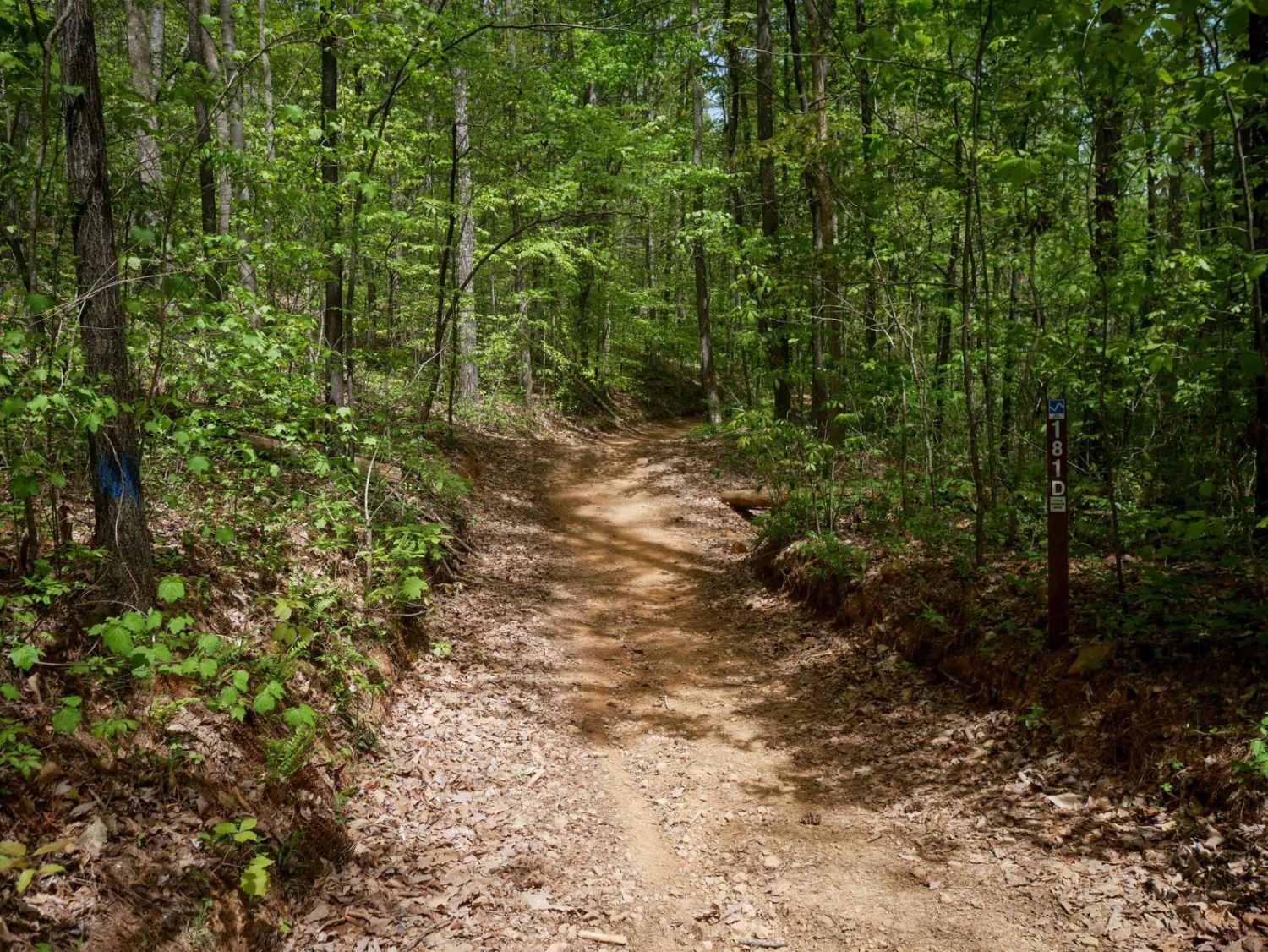
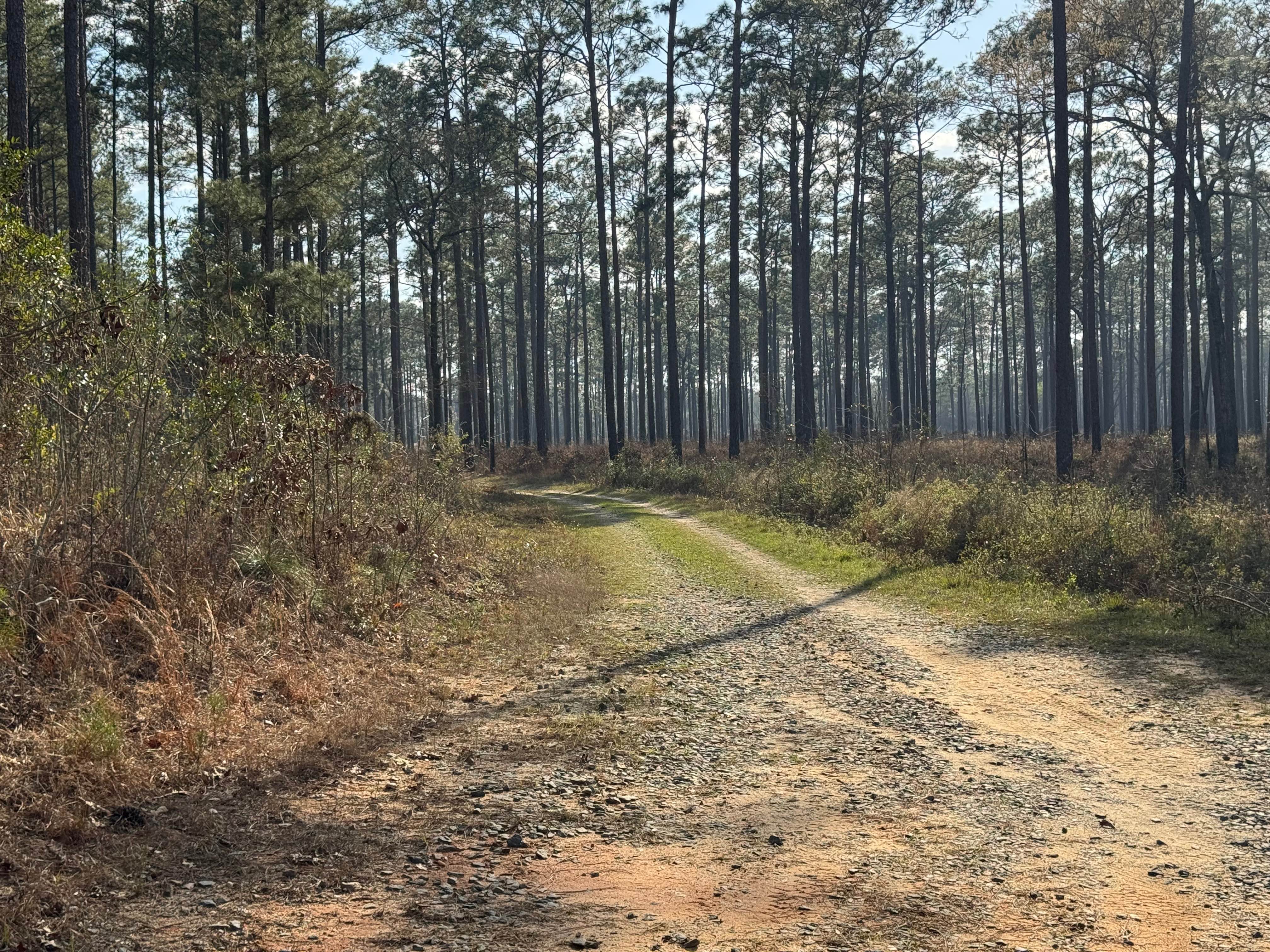
Trail Overview
This is a county-maintained road, primarily gravel with some dirt sections where washouts have occurred. The road is generally smooth and suitable for most vehicles. It serves as an easy and scenic route, part of a network of back roads ideal for a relaxing day drive. The road is mostly double-lane with some narrow areas. Please note that while this is a public road, the land on both sides is private property--stay on the main road and respect posted boundaries. As a county road, it is open only to licensed vehicles. Cell phone is decent in the area, but be prepared for the possible loss of signal since this area is somewhat rural. Before you reach the gravel parts of the road, you will travel through picturesque farms and horse pastures to start the journey. Once you get to the end of the paved part of Bear Creek Road, the road can get rough in some areas with washouts and some possible muddy areas.
Photos of Bear Creek Road


Difficulty
This county maintained road is suitable for most any vehicle but can have some minor washouts and rutting after heavy rains. Most any vehicle will be able to traverse this road.
History
Bear Creek in Moreland, Georgia, traces its origins to the early settlement around Mount Zion Methodist Church, which was established in 1843 by farmers who had come to the region via the 1827 Georgia Land Lottery. When the Atlanta & West Point Railroad arrived in 1852, the center of the community shifted southward toward the newly constructed depot. The area's early history is deeply rooted in agriculture, and although prospectors did discover traces of gold in the Bear Creek area prior to Georgia's 1829-30 gold rush, the deposits were too limited to spur a rush--leading miners to move on to richer fields in north Georgia.
Status Reports
Bear Creek Road can be accessed by the following ride types:
- High-Clearance 4x4
- SUV
Bear Creek Road Map
Popular Trails
Old Spring Box Loop
Star Pond Trail
Indian Grave Gap - FR 283

Finney Creek - FS 152
The onX Offroad Difference
onX Offroad combines trail photos, descriptions, difficulty ratings, width restrictions, seasonality, and more in a user-friendly interface. Available on all devices, with offline access and full compatibility with CarPlay and Android Auto. Discover what you’re missing today!