Anderson Bottoms Road
Total Miles
1.9
Technical Rating
Best Time
Spring, Summer, Fall, Winter
Trail Type
Full-Width Road
Accessible By
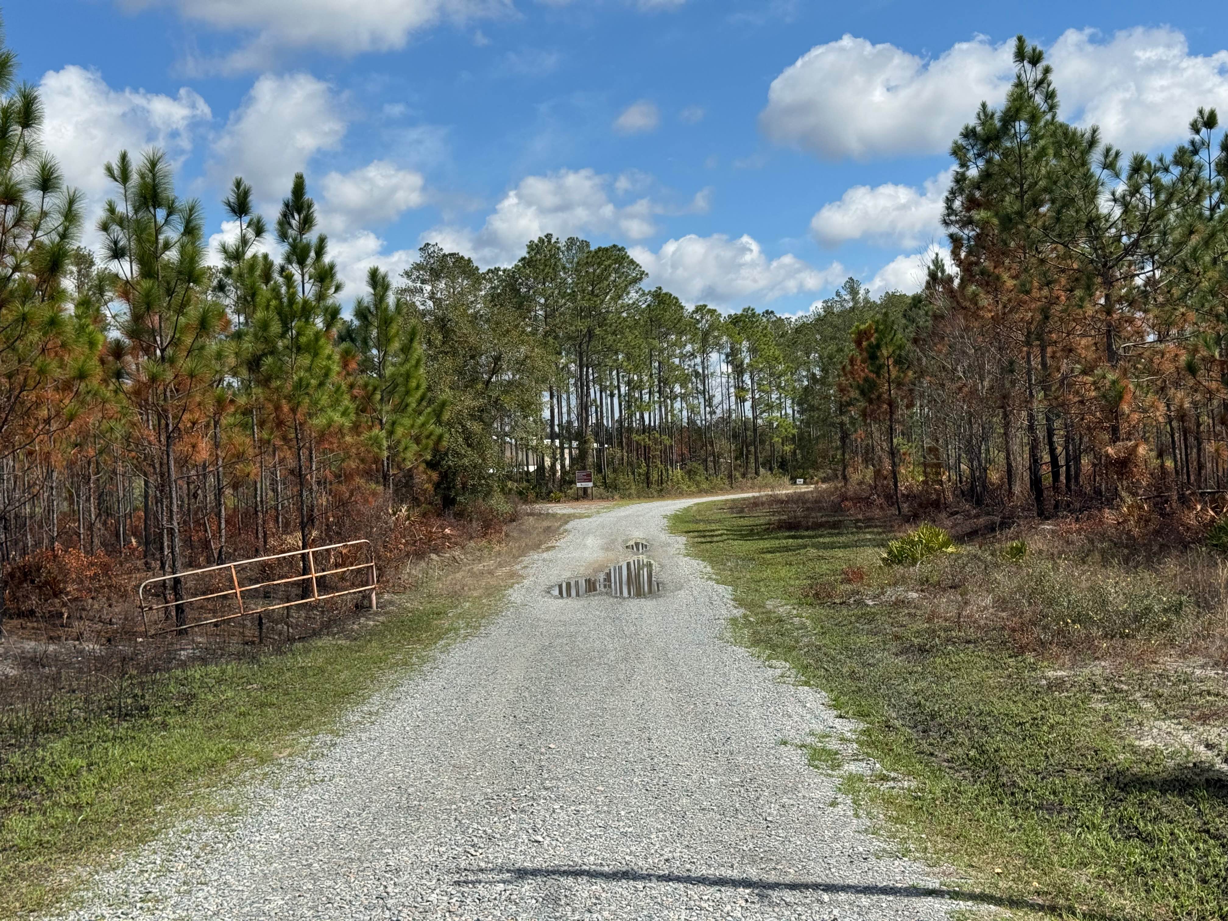
Trail Overview
This trail is located within the Piedmont Wildlife Refuge and offers visitors a glimpse of the area's characteristic terrain. The route consists primarily of gravel, with occasional water and mud holes that can vary in size and depth depending on recent weather patterns. Overall, the drive is relatively smooth and well-suited for drivers of most skill levels, providing a relaxed and enjoyable experience. This trail has a small water crossing with a small muddy hole that might be difficult for low vehicles to traverse. The surrounding scenery includes rolling hills and stretches of dense forest, creating a picturesque backdrop for the journey. Access to this trail is restricted to licensed, street-legal vehicles, and all visitors must obtain a valid permit before entering the refuge to ensure compliance with regulations and protection of the area's natural resources.
Photos of Anderson Bottoms Road


Difficulty
This is an easy, mostly one-lane gravel trail with occasional small water or mud holes, the majority of which can be avoided. The route is suitable for most higher-clearance vehicles; however, there is a mud hole adjacent to the water crossing that may present a challenge for low-clearance vehicles.
Status Reports
Anderson Bottoms Road can be accessed by the following ride types:
- High-Clearance 4x4
- SUV
Anderson Bottoms Road Map
Popular Trails
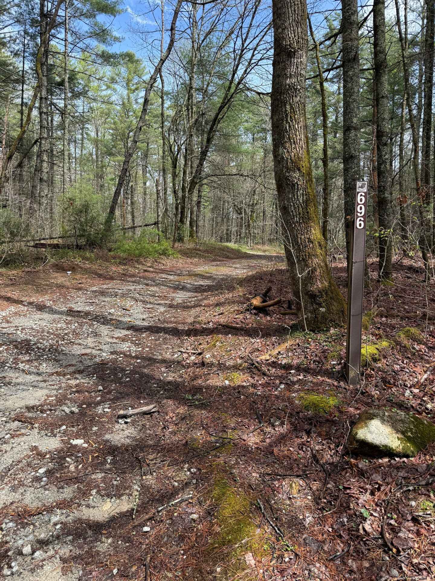
Holcomb Creek - FS 696
Ocmulgee Camp Loop
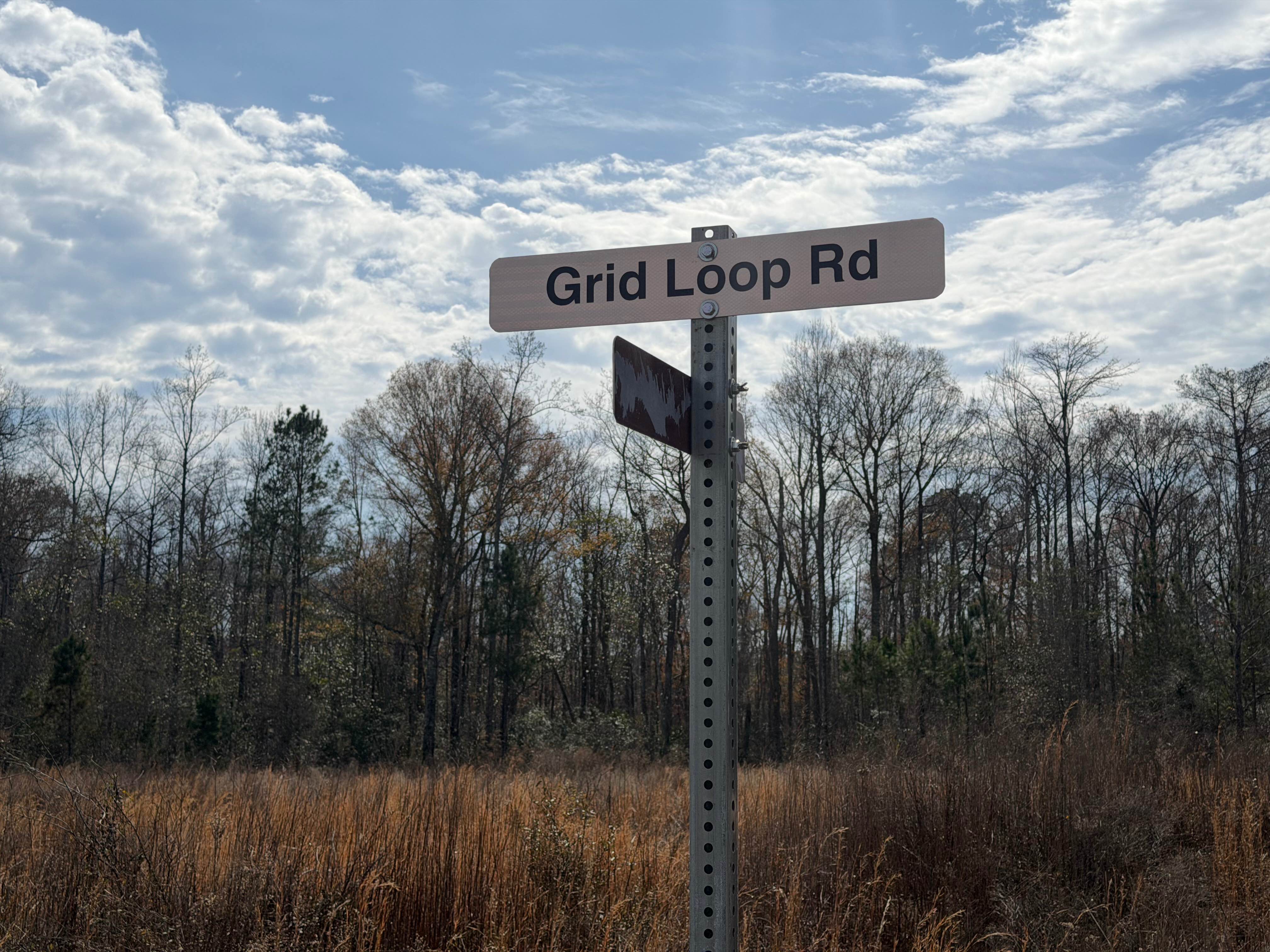
Grid Loop Road
The onX Offroad Difference
onX Offroad combines trail photos, descriptions, difficulty ratings, width restrictions, seasonality, and more in a user-friendly interface. Available on all devices, with offline access and full compatibility with CarPlay and Android Auto. Discover what you’re missing today!