Ann Gap - FS 410
Total Miles
0.7
Technical Rating
Best Time
Winter, Fall, Summer, Spring
Trail Type
Full-Width Road
Accessible By
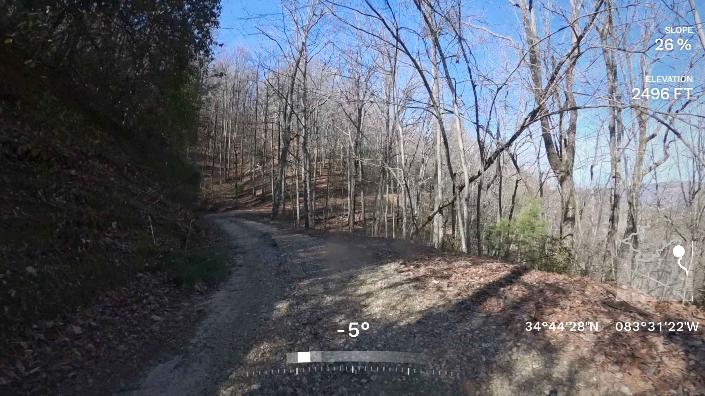
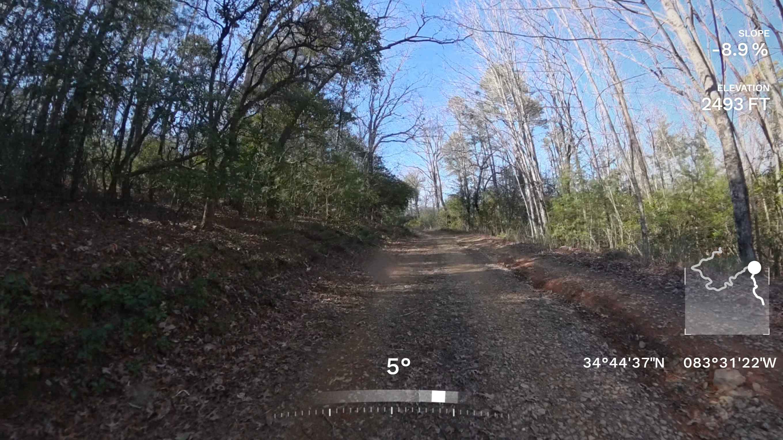
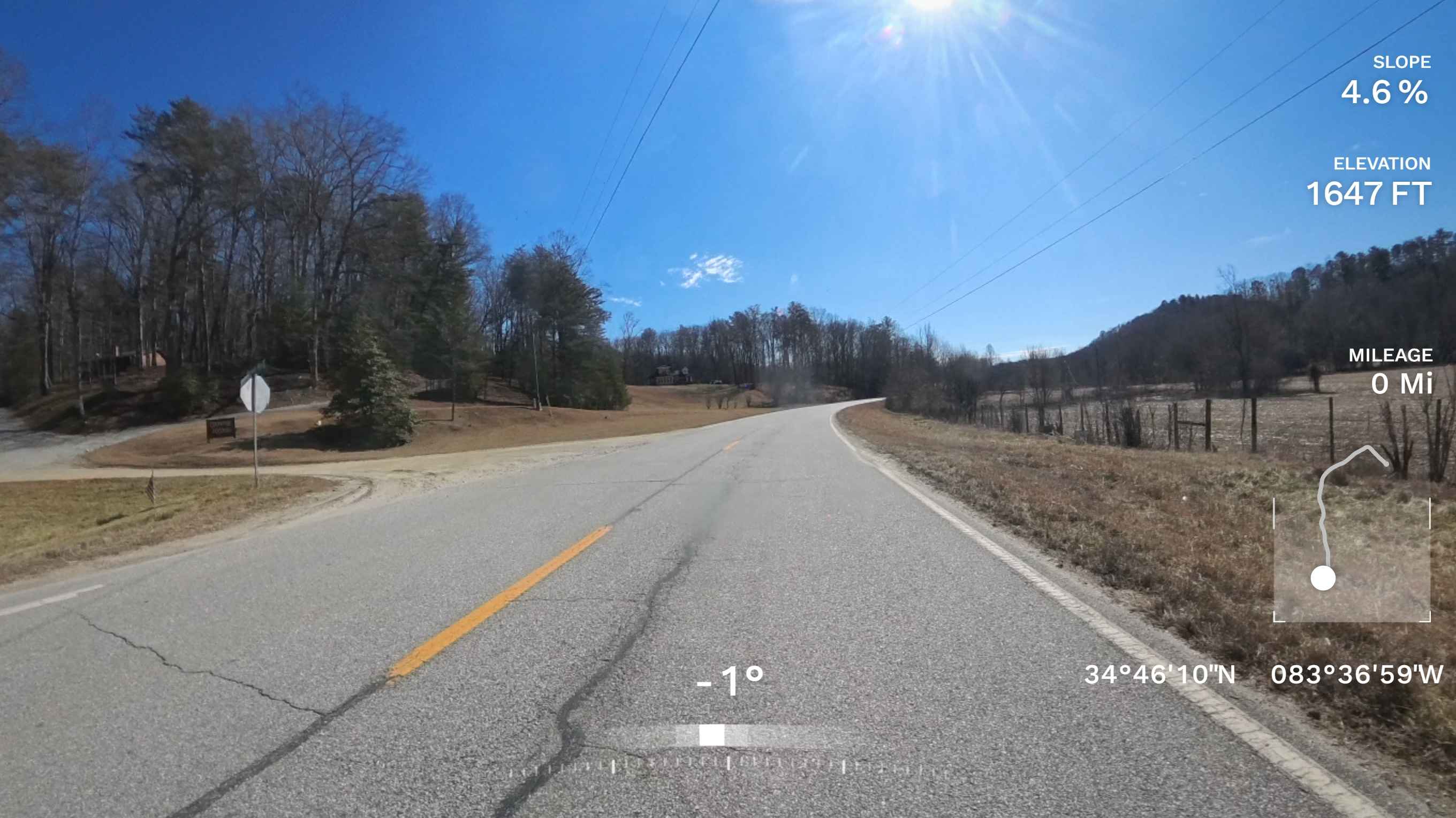
Trail Overview
This is an out-and-back, single-lane trail with a few pull-off spots to allow oncoming vehicles to pass, though traffic is typically light. FS 410 features a few uneven sections and minor washouts, making it slightly more challenging than other trails in the Chattahoochee National Forest. Cell service is unreliable in this area, so plan accordingly. About halfway along the trail, there is a small parking area offering scenic mountain views. Near the end, you'll find a large dispersed camping area with ample space for multiple vehicles. The trail concludes with a small turnaround area, so groups traveling together should plan ahead to avoid congestion.
Photos of Ann Gap - FS 410
Difficulty
This trail has several smaller washouts and small obstacles, including mud puddles and rocks. The trail is one vehicle wide with some areas having a slight drop off on one side of the trail.
Ann Gap - FS 410 can be accessed by the following ride types:
- High-Clearance 4x4
- SUV
Ann Gap - FS 410 Map
Popular Trails
Kennedy Mountain Road 248

Lee Mountain Road - FS 181

South River Road
Smith Hammock Road
The onX Offroad Difference
onX Offroad combines trail photos, descriptions, difficulty ratings, width restrictions, seasonality, and more in a user-friendly interface. Available on all devices, with offline access and full compatibility with CarPlay and Android Auto. Discover what you’re missing today!