South River Road
Total Miles
1.0
Technical Rating
Best Time
Spring, Summer, Fall, Winter
Trail Type
Full-Width Road
Accessible By
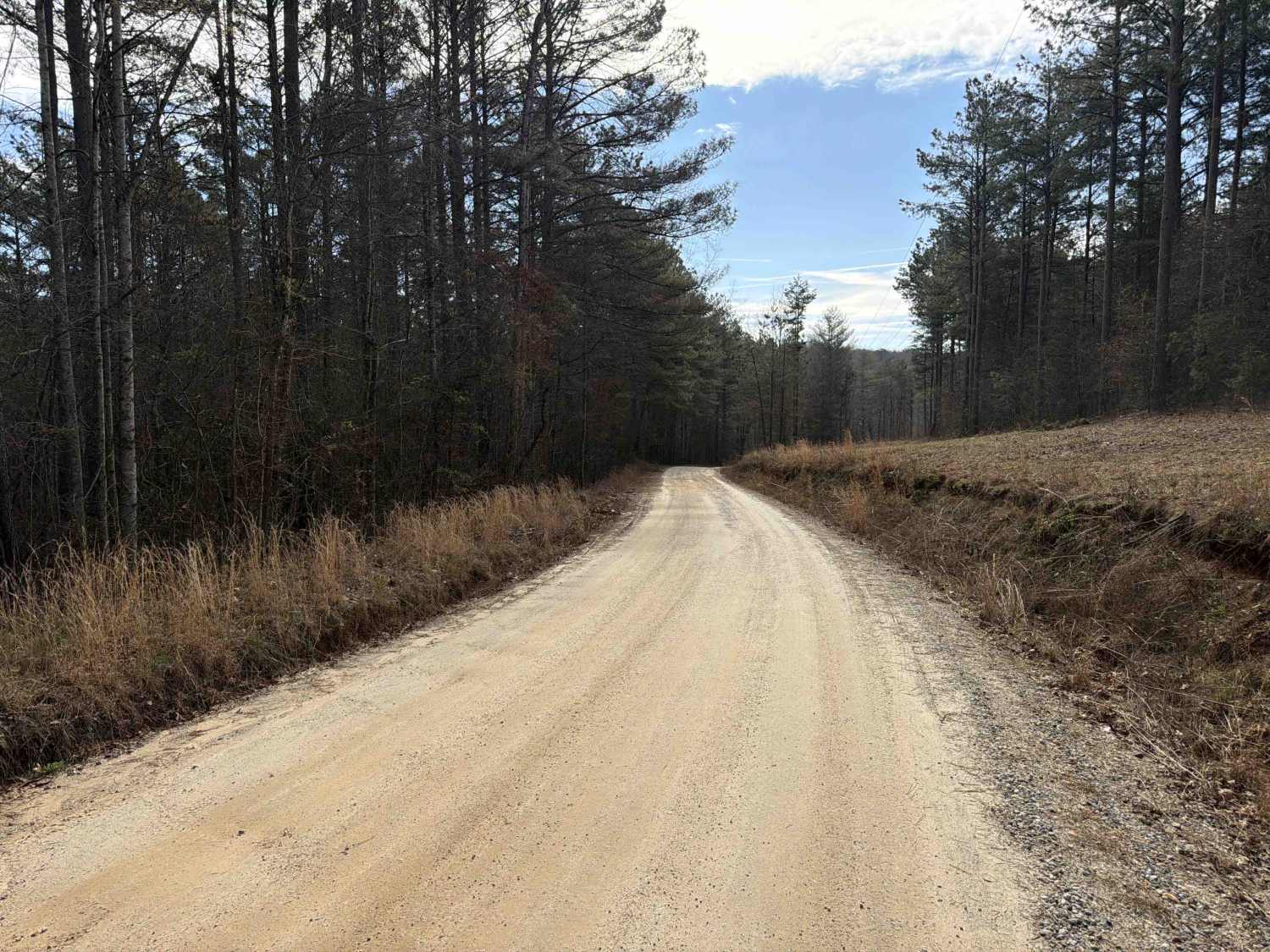
Trail Overview
Located near Franklin, Georgia, in Heard County, this road is part of the West Point Wildlife Management Area (WMA). It is primarily a single-lane dirt road with minor washouts and optional muddy or water-filled sections, suitable for higher-clearance vehicles or off-road exploration. Roughly 300 yards from the entrance, there's a small side area commonly used as a mud play spot. The road continues from Pike Road, passing through the WMA and into U.S. Army Corps of Engineers land, where it turns to asphalt. It eventually leads back to a more populated area and continues to the City of Franklin. At the boundary between the WMA and Corps land, there is a side road that leads to the Snake Creek Access with bathrooms and parking areas.
Photos of South River Road


Difficulty
This road is primarily dirt and can become very muddy and slick during wet or rainy seasons, making traction difficult in some areas. While it is mostly one lane wide, there are numerous pull-off spots that allow vehicles to pass safely when encountering oncoming traffic. There is also a small mud play area just off the side of the road, which may become problematic depending on recent weather conditions and vehicle capability.
History
The West Point Wildlife Management Area, located in west-central Georgia near the Alabama border, spans across several counties, including Heard and Troup. It was established in the mid-20th century as part of broader efforts by the Georgia Department of Natural Resources (DNR) to restore and conserve habitats for native wildlife and to provide public opportunities for outdoor recreation, such as hunting, fishing, hiking, and wildlife observation. The area lies within the Chattahoochee River corridor and includes a diverse landscape of hardwood forests, pine stands, wetlands, and floodplains. Much of the land was historically used for agriculture and timber production, but with the creation of West Point Lake in the 1970s--a U.S. Army Corps of Engineers project aimed at flood control, hydroelectric power, and recreation--the surrounding lands were transformed into a protected conservation area.
Status Reports
South River Road can be accessed by the following ride types:
- High-Clearance 4x4
- SUV
South River Road Map
Popular Trails


COL Hough Road
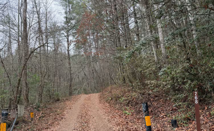
Yellow Mountain Trail - FS 268
The onX Offroad Difference
onX Offroad combines trail photos, descriptions, difficulty ratings, width restrictions, seasonality, and more in a user-friendly interface. Available on all devices, with offline access and full compatibility with CarPlay and Android Auto. Discover what you’re missing today!