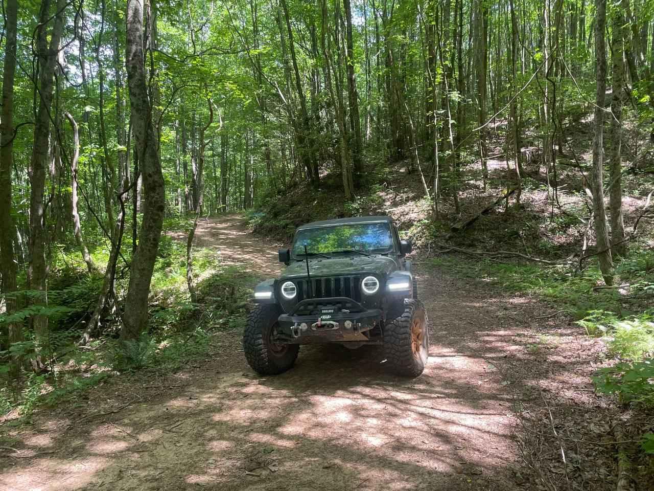
Off-Road Trails in Georgia
Discover off-road trails in Georgia
Learn more about Billingsley Creek - FS 86B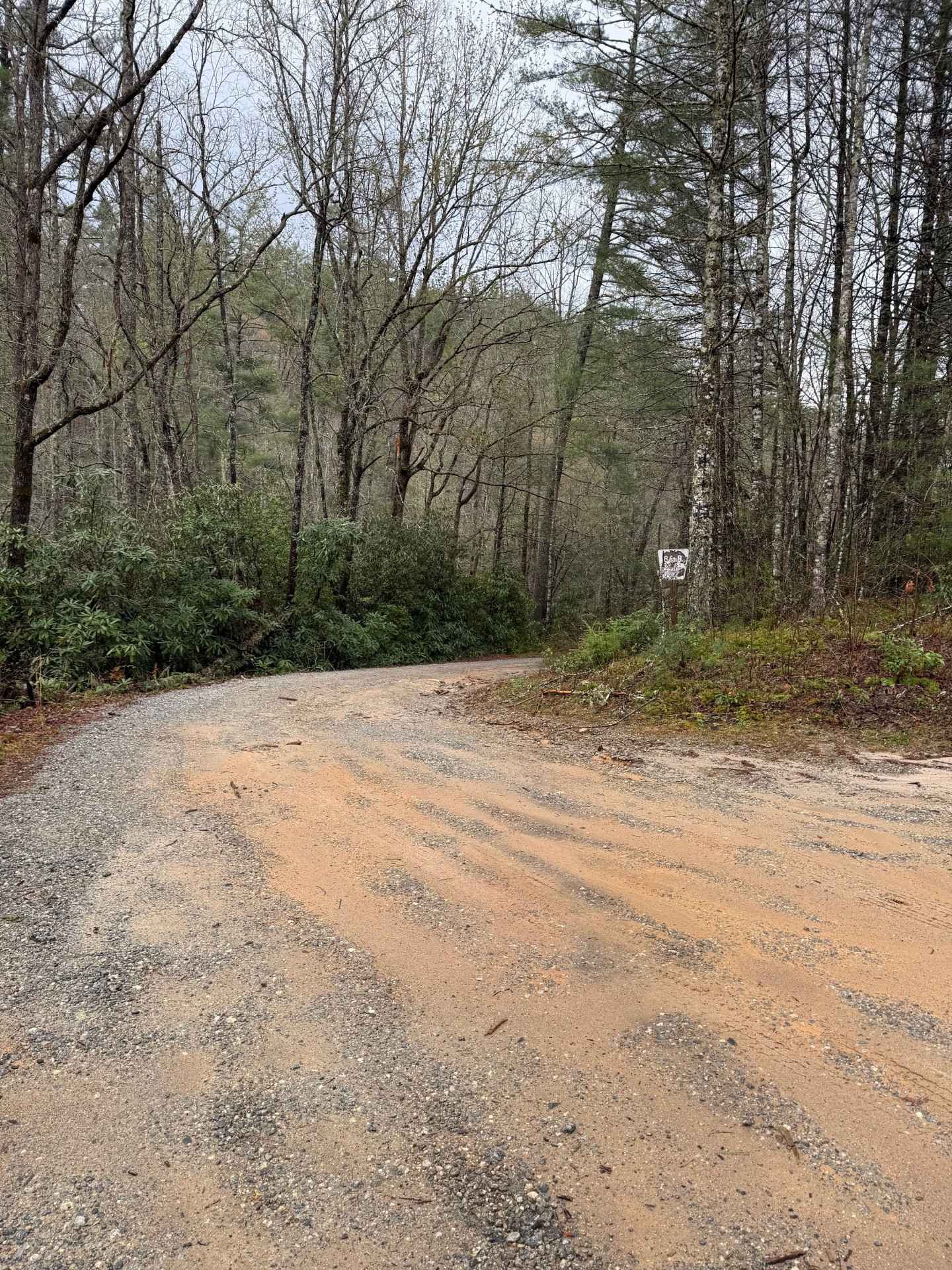
Billingsley Creek - FS 86B
Total Miles
3.7
Tech Rating
Easy
Best Time
Spring, Summer, Fall, Winter
Learn more about Bishop Road
Bishop Road
Total Miles
1.6
Tech Rating
Easy
Best Time
Spring, Summer, Winter, Fall
Learn more about Black Mountain Road - FSR 139
Black Mountain Road - FSR 139
Total Miles
3.4
Tech Rating
Easy
Best Time
Fall
Learn more about Black Point - Ceylon WMA
Black Point - Ceylon WMA
Total Miles
3.3
Tech Rating
Moderate
Best Time
Spring, Summer, Fall
Learn more about Blackwell Gap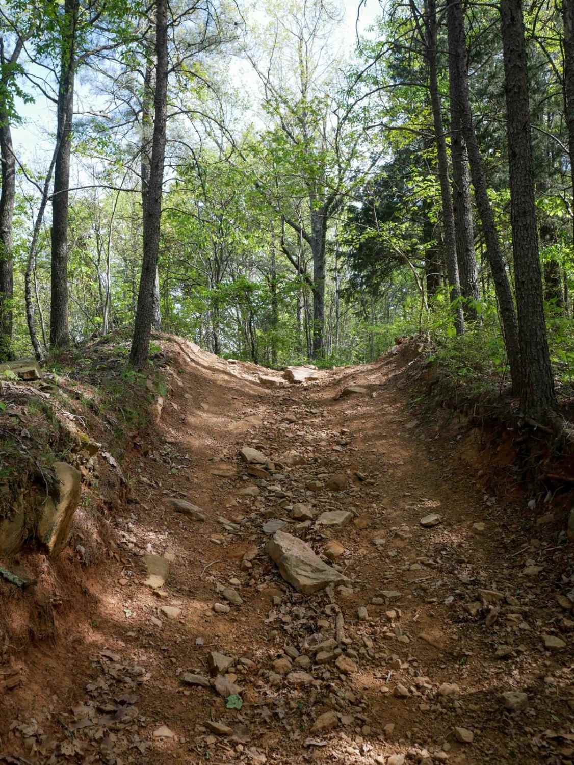
Blackwell Gap
Total Miles
2.3
Tech Rating
Easy
Best Time
Spring, Fall, Summer
Learn more about Blount's Crossing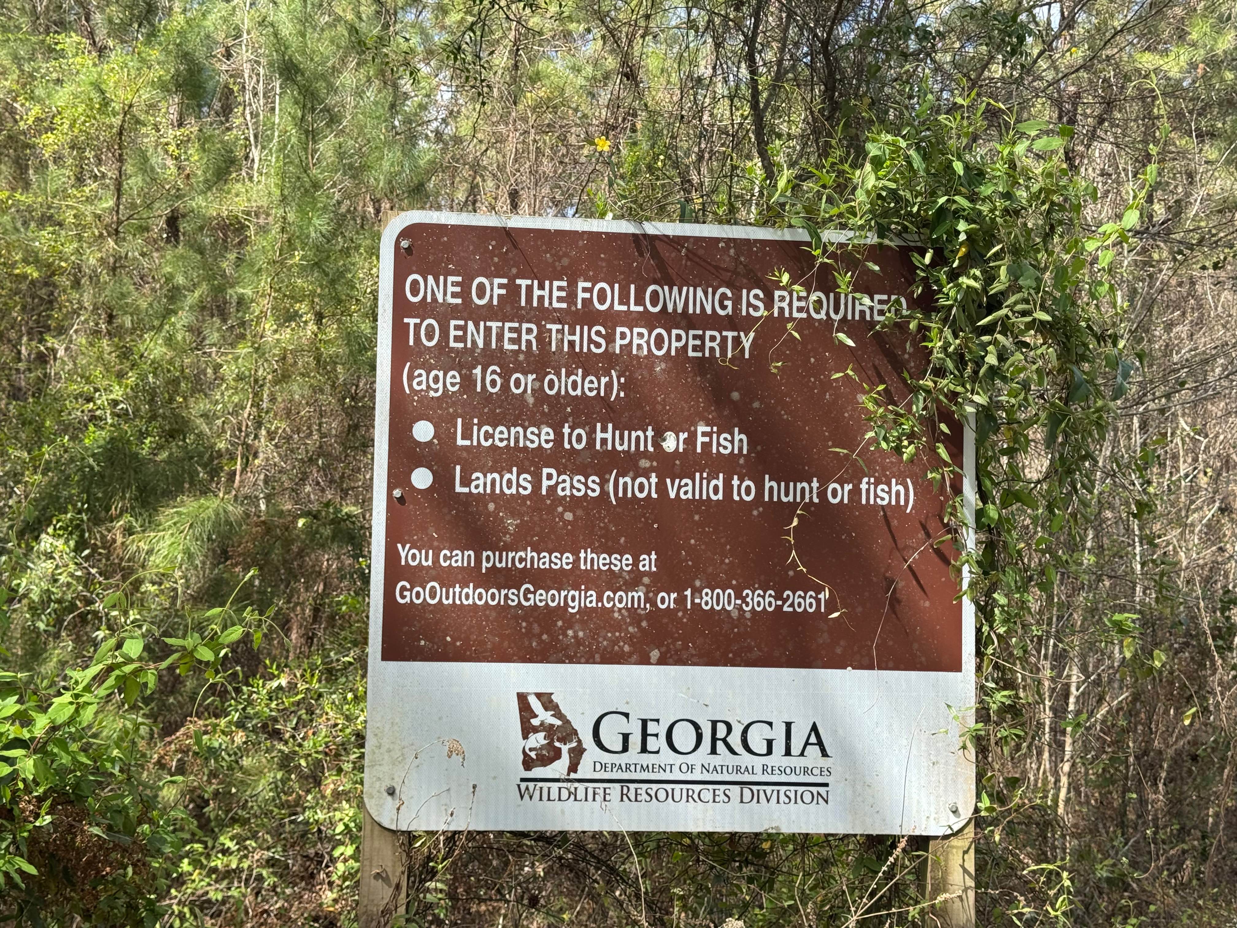
Blount's Crossing
Total Miles
3.6
Tech Rating
Easy
Best Time
Spring, Summer, Fall, Winter
Learn more about Blue Mountain Spring - FS 639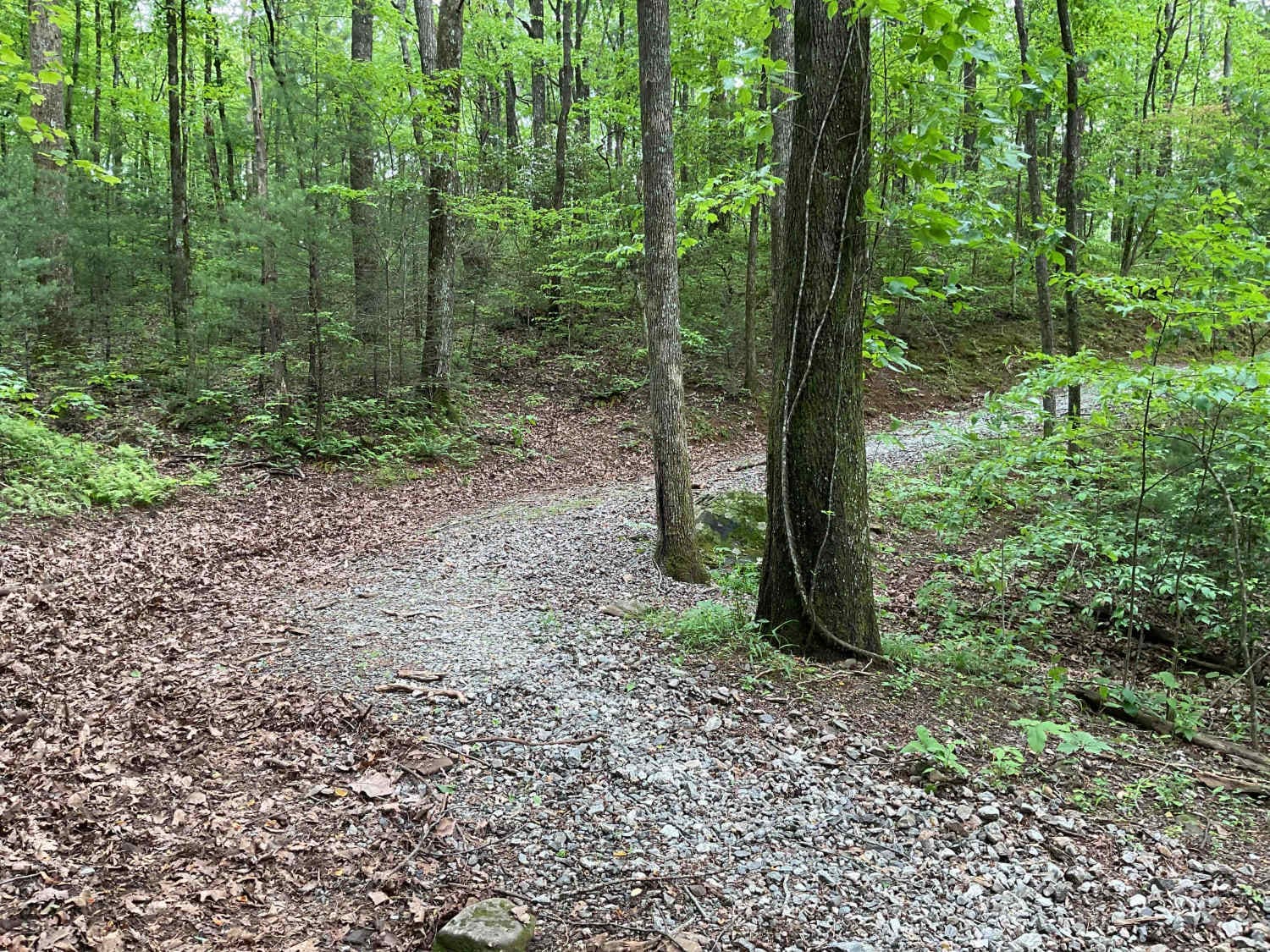
Blue Mountain Spring - FS 639
Total Miles
2.5
Tech Rating
Easy
Best Time
Spring, Summer, Fall
Learn more about Blue Ridge FS #42 E
Blue Ridge FS #42 E
Total Miles
8.9
Tech Rating
Easy
Best Time
Spring, Summer, Fall, Winter
Learn more about Bob Creek - FS 292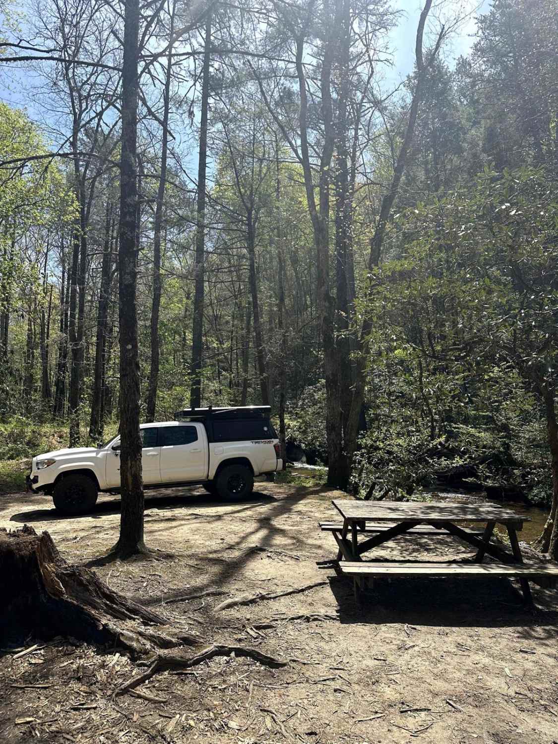
Bob Creek - FS 292
Total Miles
2.3
Tech Rating
Easy
Best Time
Spring, Summer, Fall, Winter
Learn more about Boggs Creek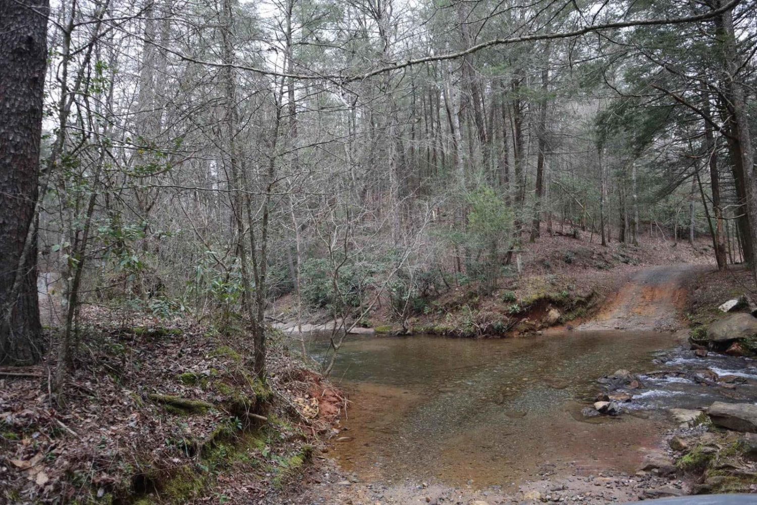
Boggs Creek
Total Miles
1.2
Tech Rating
Easy
Best Time
Spring, Summer, Fall, Winter

Learn more about Bowers Cove - FS 298
Bowers Cove - FS 298
Total Miles
1.6
Tech Rating
Easy
Best Time
Spring, Summer, Fall
Learn more about Branchwater Trail
Branchwater Trail
Total Miles
0.9
Tech Rating
Moderate
Best Time
Spring, Summer, Fall, Winter
Learn more about Briarpatch Lake Access
Briarpatch Lake Access
Total Miles
1.7
Tech Rating
Easy
Best Time
Spring, Summer, Fall, Winter
Learn more about Bridge Out Trail
Bridge Out Trail
Total Miles
8.0
Tech Rating
Easy
Best Time
Summer, Spring, Fall, Winter
Learn more about Brier Creek Access
Brier Creek Access
Total Miles
2.2
Tech Rating
Easy
Best Time
Spring, Summer, Fall, Winter
Learn more about Brown Road
Brown Road
Total Miles
1.0
Tech Rating
Easy
Best Time
Spring, Summer, Fall, Winter
Learn more about Bullard Altamaha River Loop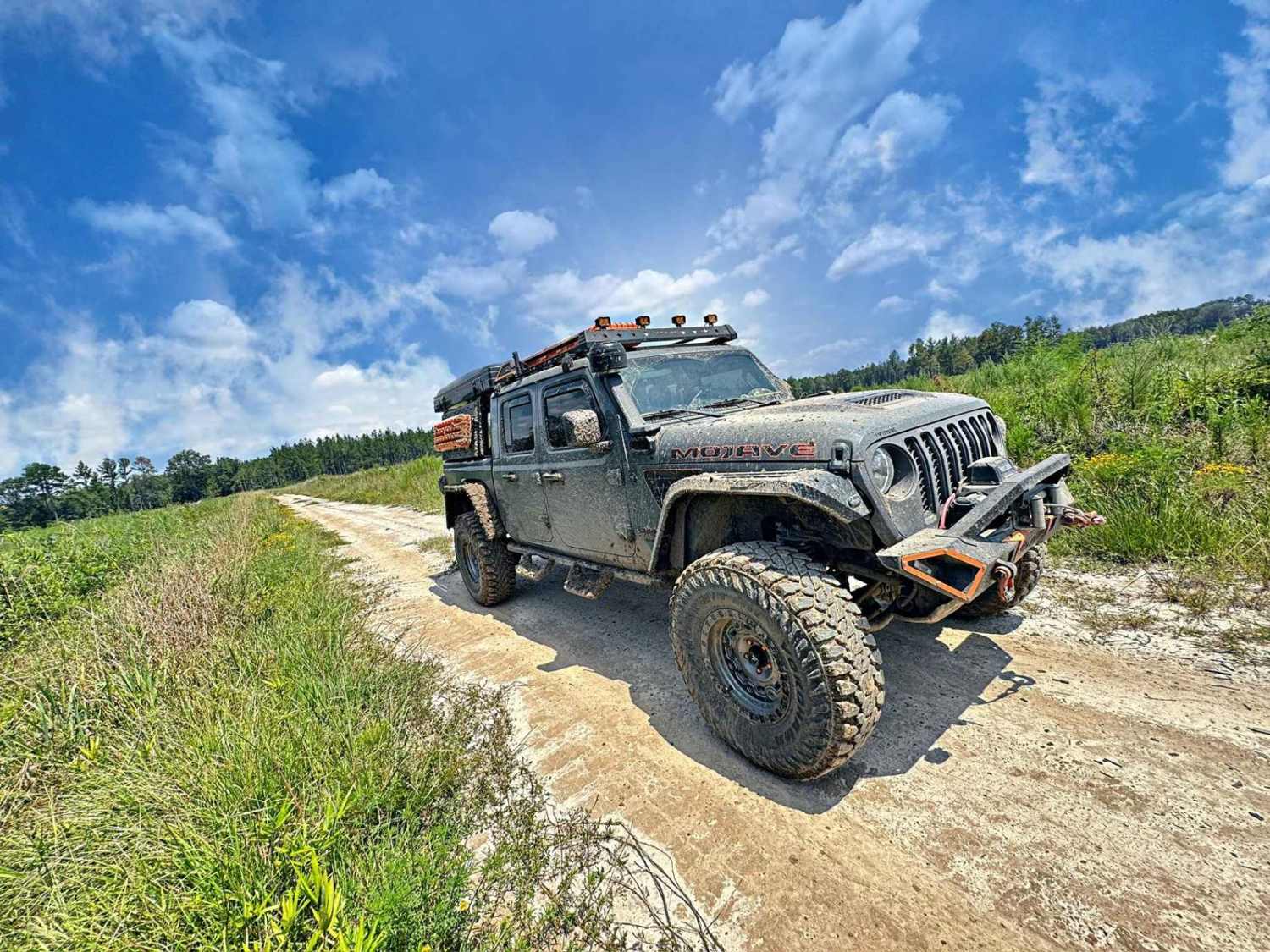
Bullard Altamaha River Loop
Total Miles
8.1
Tech Rating
Easy
Best Time
Spring, Summer, Fall, Winter
ATV trails in Georgia


Learn more about 181-B-O connector Unlabeled
181-B-O connector Unlabeled
Total Miles
0.0
Tech Rating
Easy
Best Time
Spring, Summer, Fall
UTV/side-by-side trails in Georgia
Learn more about 3 - Peeples Lake
3 - Peeples Lake
Total Miles
3.5
Tech Rating
Easy
Best Time
Spring, Summer, Fall
Learn more about 631- Tatum Lead
631- Tatum Lead
Total Miles
7.4
Tech Rating
Easy
Best Time
Spring, Summer, Fall
Learn more about Alexander Hollow Trail
Alexander Hollow Trail
Total Miles
1.5
Tech Rating
Easy
Best Time
Spring, Summer, Fall, Winter
Learn more about Alexander Ridge Trail
Alexander Ridge Trail
Total Miles
3.9
Tech Rating
Easy
Best Time
Spring, Summer, Fall, Winter
The onX Offroad Difference
onX Offroad combines trail photos, descriptions, difficulty ratings, width restrictions, seasonality, and more in a user-friendly interface. Available on all devices, with offline access and full compatibility with CarPlay and Android Auto. Discover what you’re missing today!