Black Point - Ceylon WMA
Total Miles
3.3
Technical Rating
Best Time
Spring, Summer, Fall
Trail Type
Full-Width Road
Accessible By
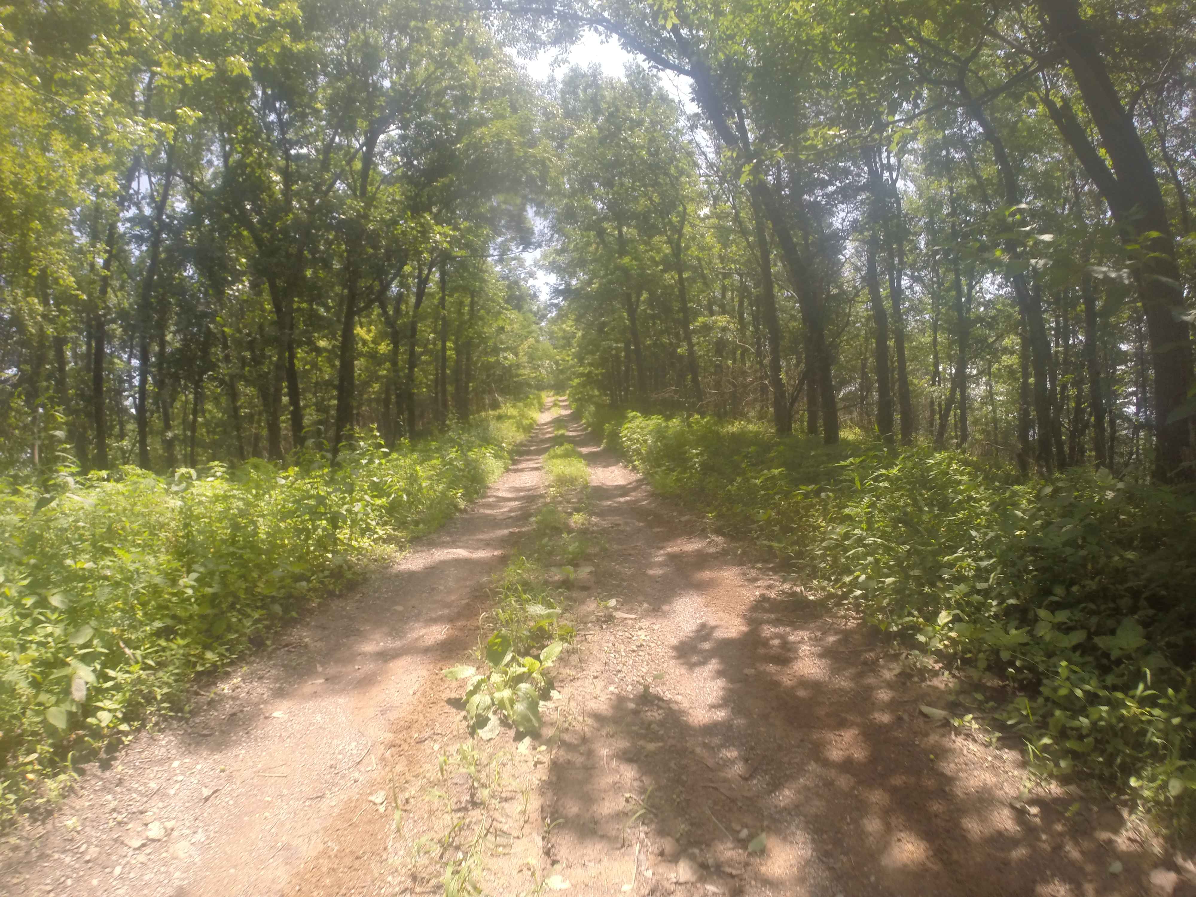
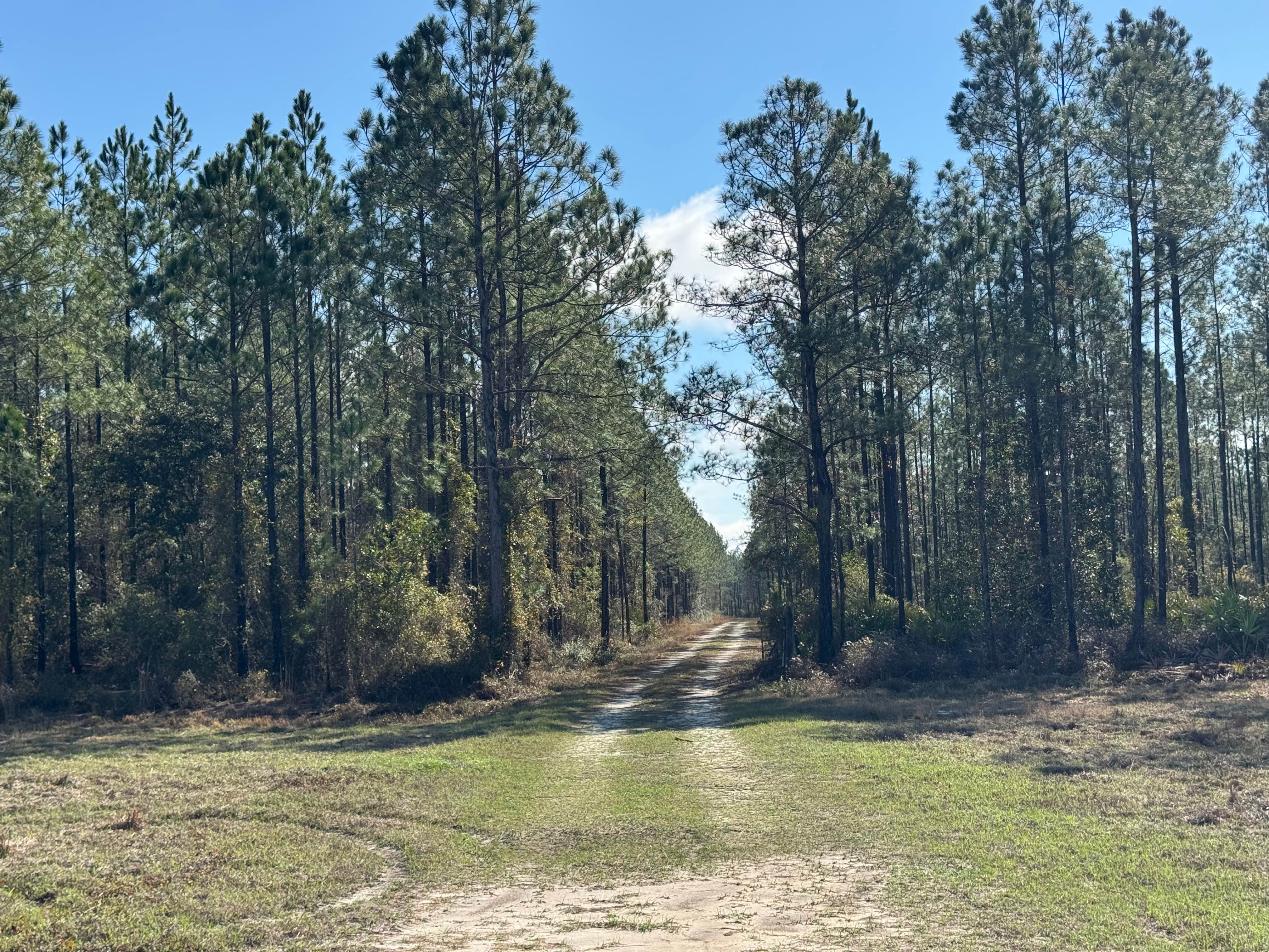
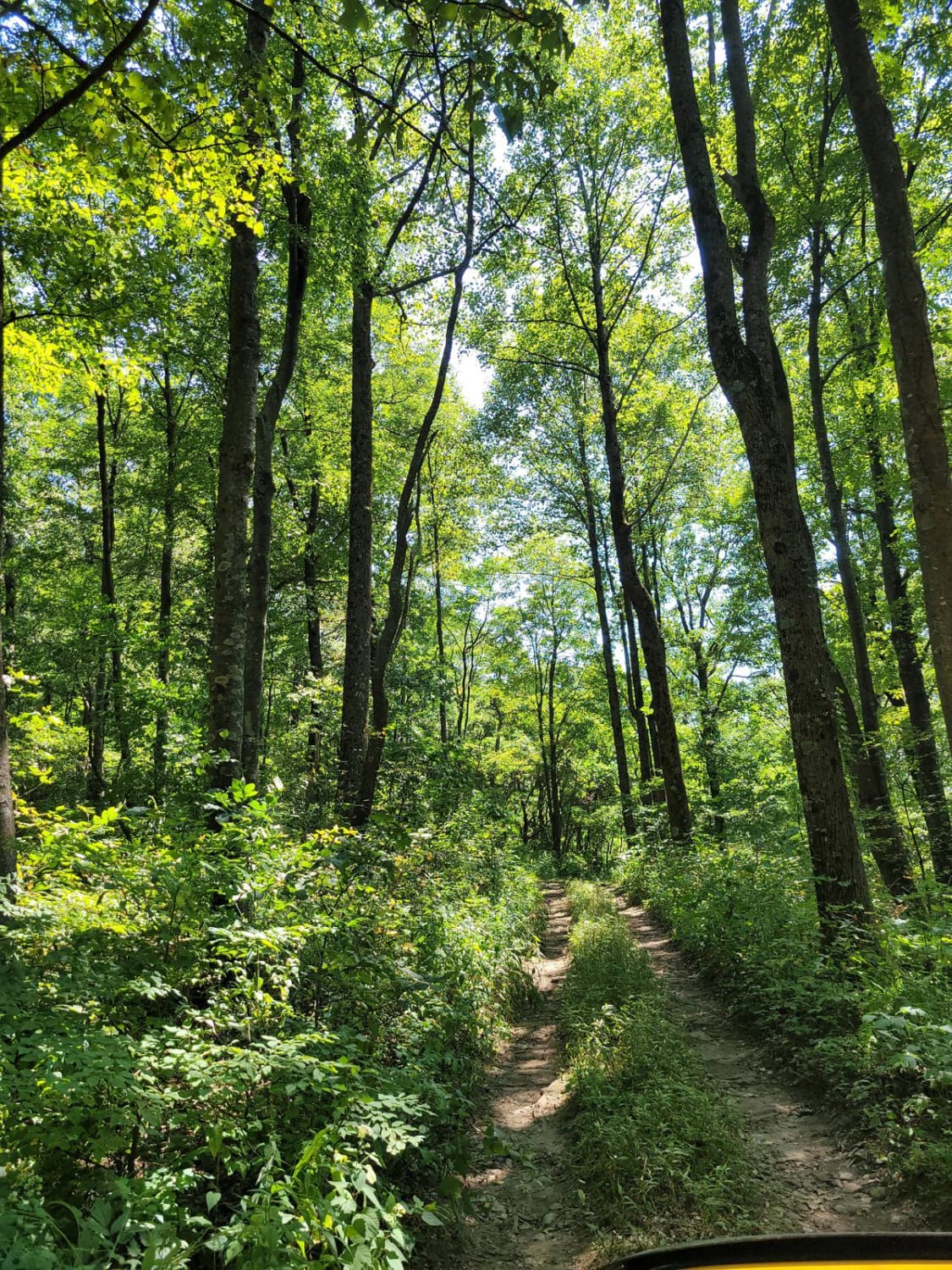
Trail Overview
The Black Point Trail starts at the Union Carbide Road and gives you access to the Ceylon WMA. The area is surrounded by the Crooked River and follows the Black Point Creek. Expect flooding after heavy rain. The road conditions are a mixture of packed sand, loose sand, and some deep holes that can turn into mud holes approximately 2 feet deep after rainy days. The road is not always wide enough for two vehicles to pass. 4WD and high clearance are recommended. All vehicles must be street legal. The Ceylon Wildlife Management Area is located in Camden County. This 27,000-acre property offers hunting for deer, turkey, small game, and waterfowl. The entrance to the WMA is approximately one mile east of Exit 14 off of I-95. A permit is required. https://georgiawildlife.com/ceylon-wma
Photos of Black Point - Ceylon WMA


Difficulty
This trail is narrow and can be tricky after heavy rain.
Status Reports
Black Point - Ceylon WMA can be accessed by the following ride types:
- High-Clearance 4x4
- SUV
- Dirt Bike
Black Point - Ceylon WMA Map
Popular Trails
Black Point - Ceylon WMA
Chestnut Mountain - FS 212
Clay Hill Road
Cohutta Wilderness
The onX Offroad Difference
onX Offroad combines trail photos, descriptions, difficulty ratings, width restrictions, seasonality, and more in a user-friendly interface. Available on all devices, with offline access and full compatibility with CarPlay and Android Auto. Discover what you’re missing today!