Briarpatch Lake Access
Total Miles
1.7
Technical Rating
Best Time
Spring, Summer, Fall, Winter
Trail Type
Full-Width Road
Accessible By
Trail Overview
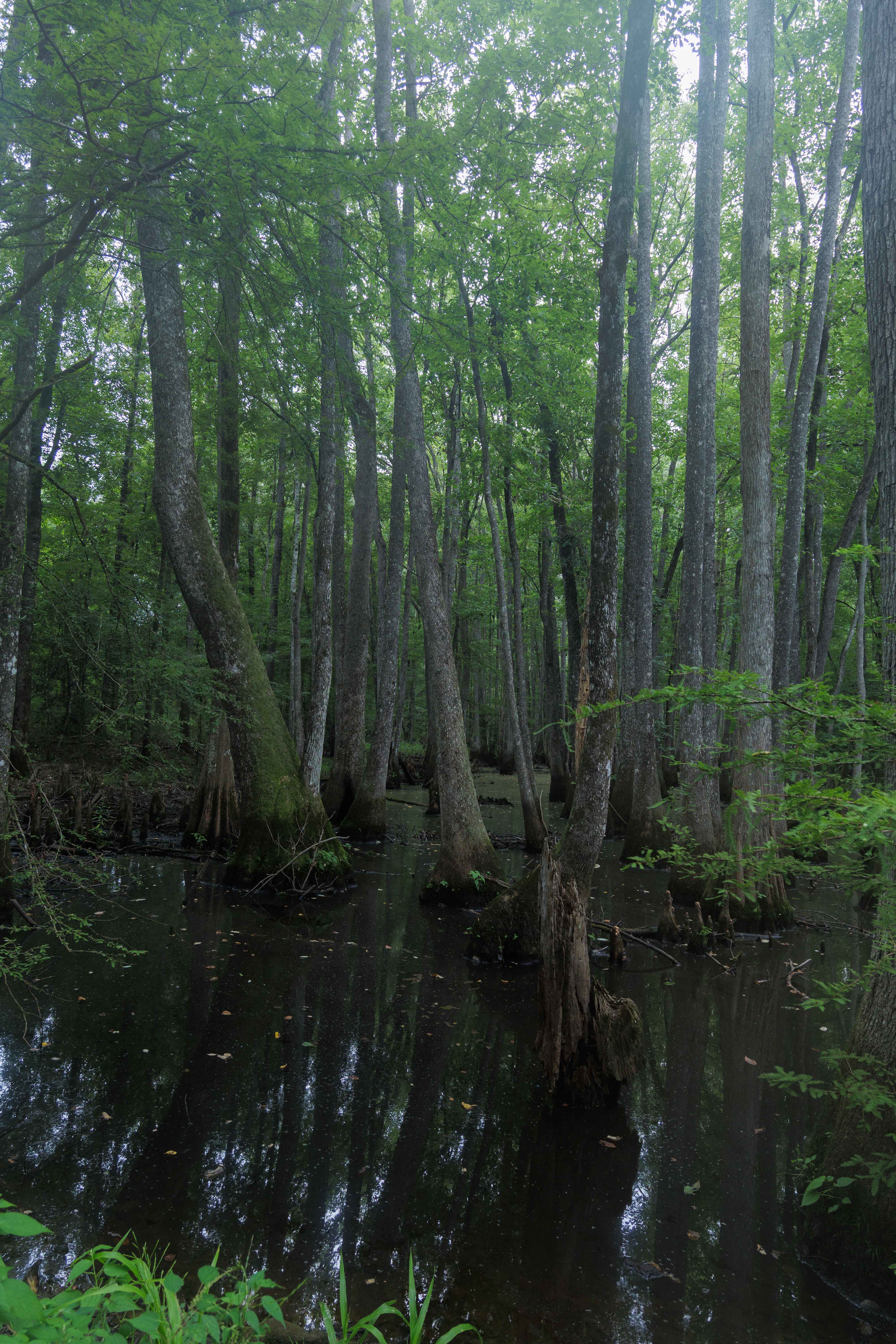
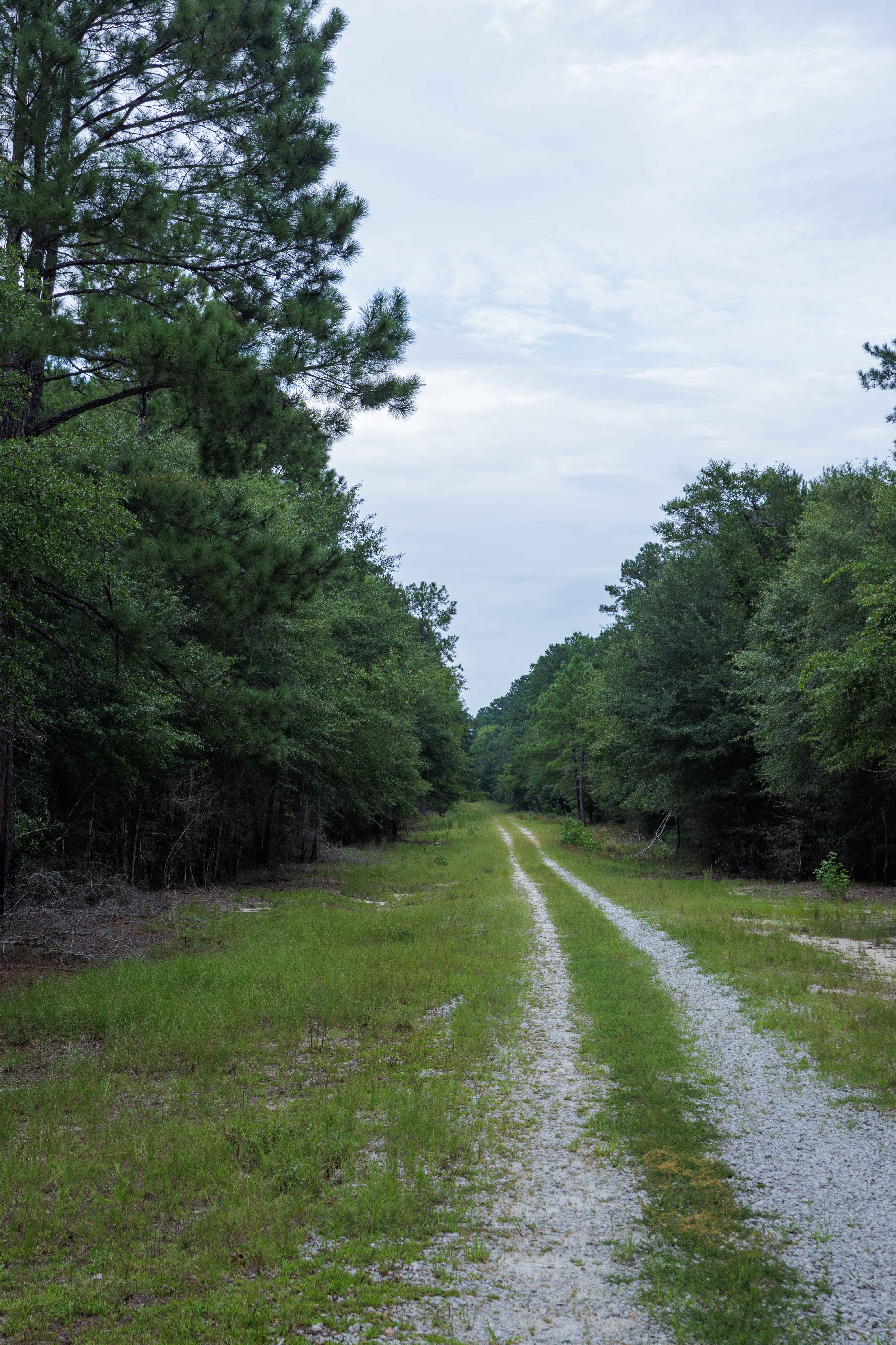
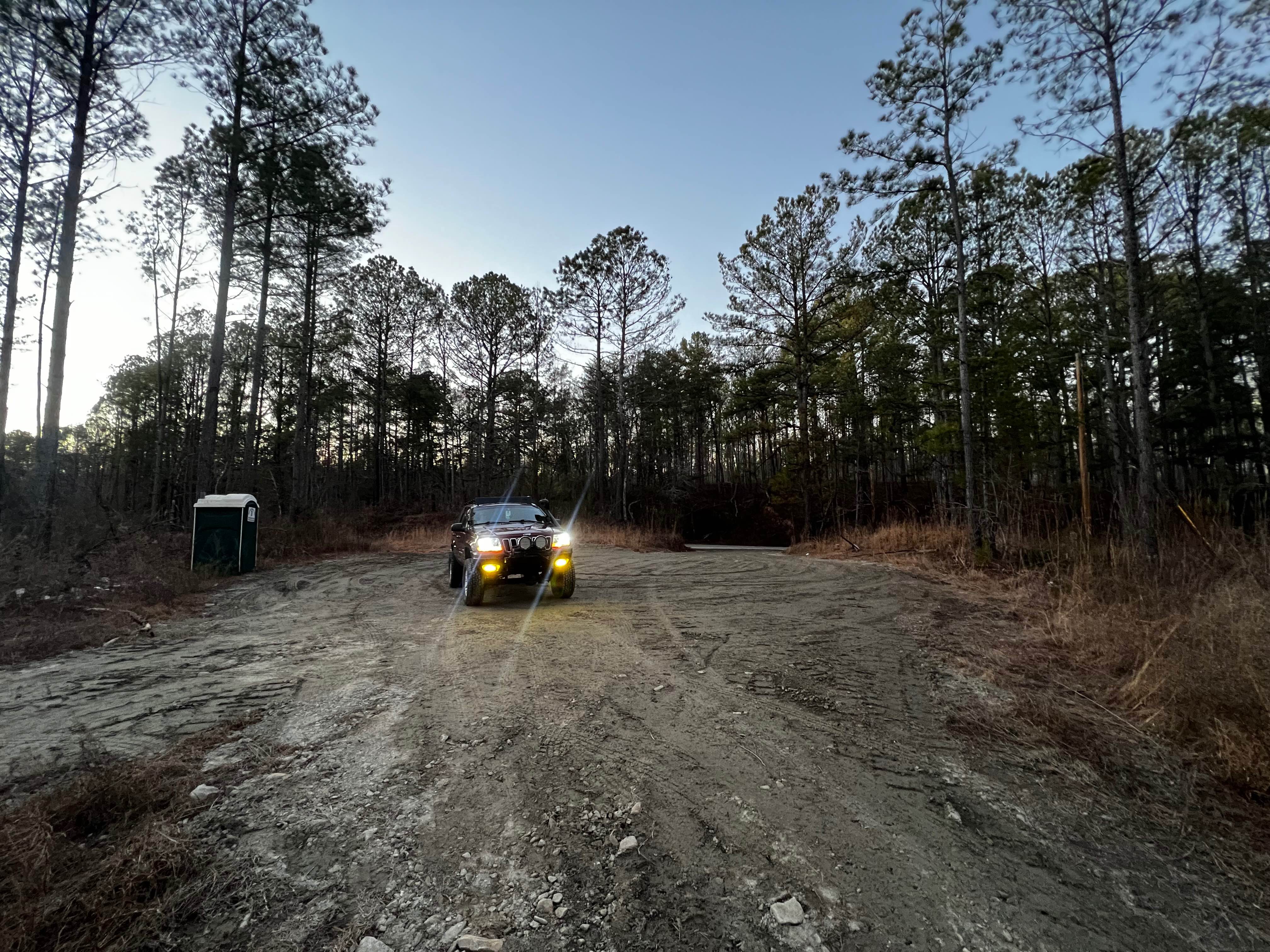
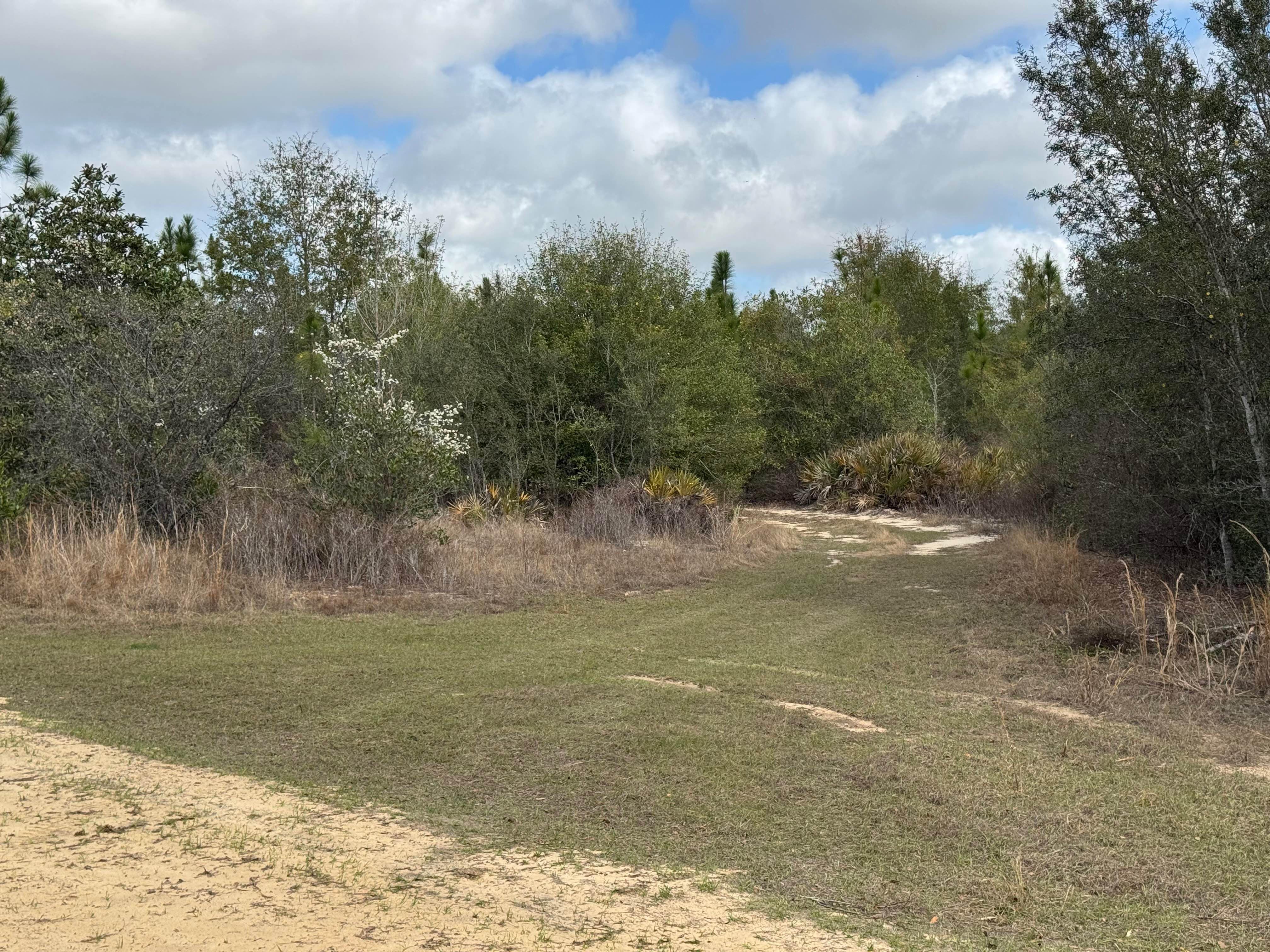
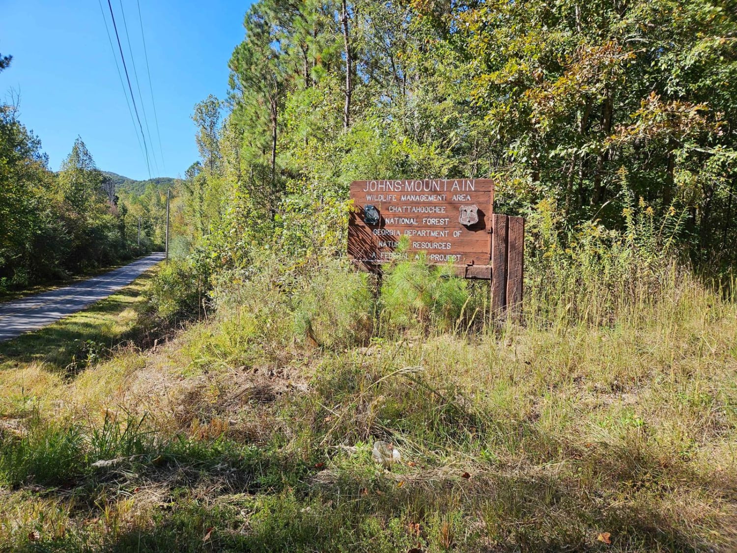
This route is entirely within the Tuckahoe Wildlife Management Area, a 15,000-acre property bordering the Savannah River. A fishing and/or hunting license is required to legally enter the property and can be obtained via georgiawildlife.com/tuckahoe-wma. Camping is only permitted in one of the two designated camping areas within the property. This route starts from Old River Road and concludes at Briarpatch Lake. There is a small gravel access to the lake, along with ample fishing opportunities along the bank of the lake. The road is very overgrown with very tall grass and has numerous deep mud puddles before reaching the pond. The end of the route is through the swamp and is prone to periodic flooding after heavy rains.
Photos of Briarpatch Lake Access
Difficulty
This route is not frequently maintained by the Georgia DNR and is mostly overgrown with grass. The route starts on well-maintained gravel and quickly changes to grass with large mud ruts.
Status Reports
Briarpatch Lake Access can be accessed by the following ride types:
- High-Clearance 4x4
- SUV
- SxS (60")
- ATV (50")
- Dirt Bike
Briarpatch Lake Access Map
Popular Trails
Etowah River Access
Hunting Road

Ivy Log Gap (FS 100)
Hidden Creek Road (955-955B)
The onX Offroad Difference
onX Offroad combines trail photos, descriptions, difficulty ratings, width restrictions, seasonality, and more in a user-friendly interface. Available on all devices, with offline access and full compatibility with CarPlay and Android Auto. Discover what you’re missing today!