Branchwater Trail
Total Miles
0.9
Technical Rating
Best Time
Spring, Summer, Fall, Winter
Trail Type
Full-Width Road
Accessible By
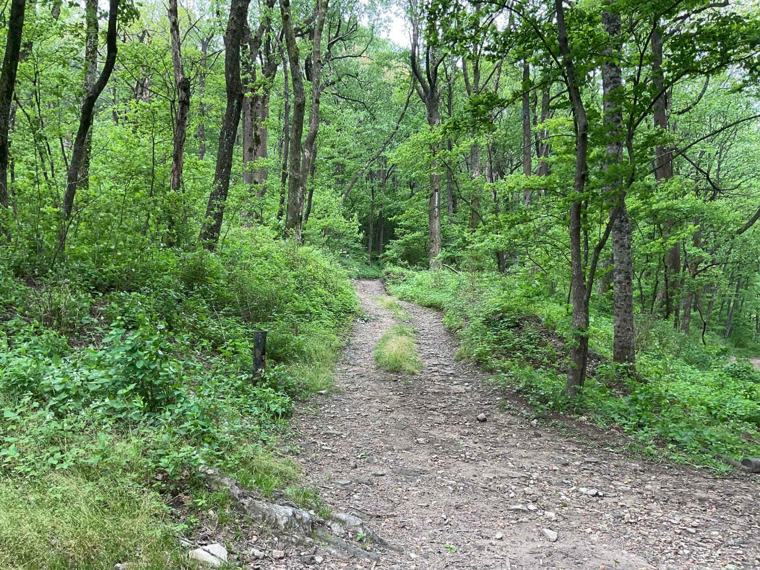
Trail Overview
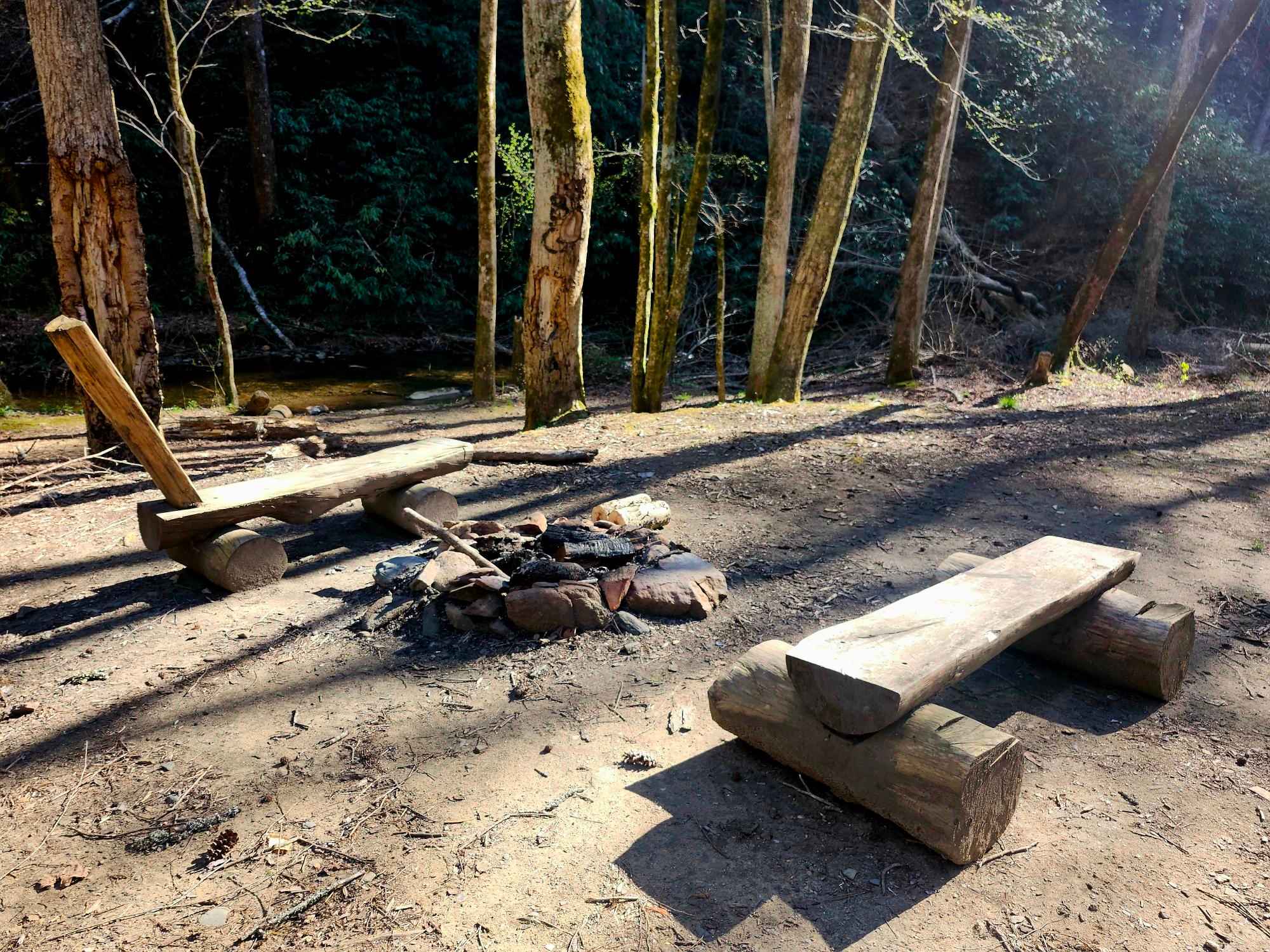
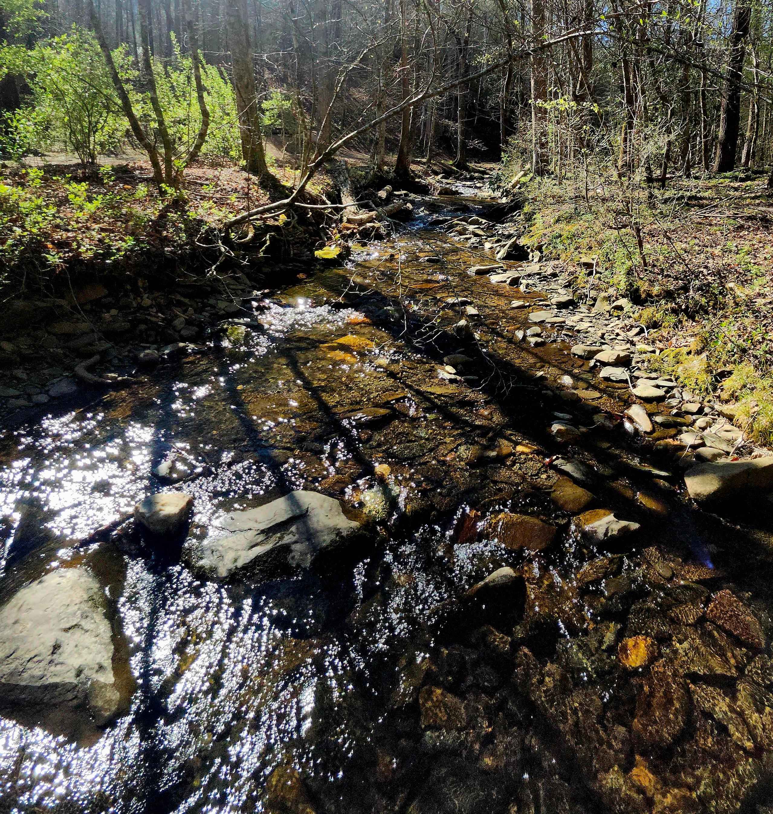
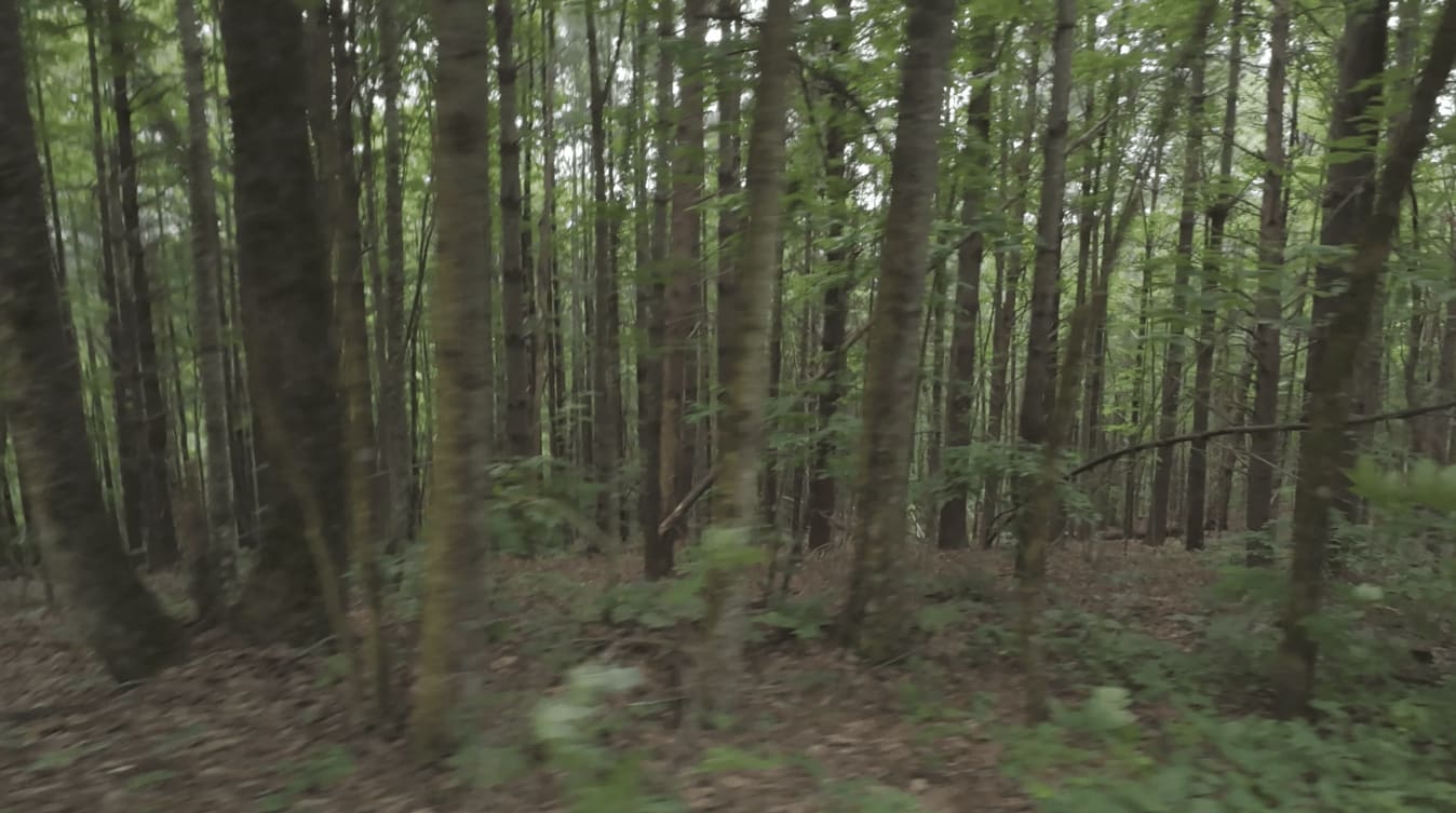
This one-mile in-and-back single-lane trail within the Chattahoochee National Forest begins with a downhill of packed dirt and gravel with occasional rock ledges, ruts, washouts, and dips that have the potential to hold several inches of water after rain. There are three water crossings over Bearpen Branch, Baker Branch, and Rock Creek, plus one small stream crossing. This is a great spot to enjoy the sights and sounds of nature after a day of off-roading through the nearby Rock Creek OHV Park, as there are several opportunities for dispersed camping, picnicking, fishing, views of wildlife feeding fields, and handmade campfire benches along the route. Clearance is required throughout, along with the use of occasional 4WD, as the terrain can change with the weather conditions. The trail dead ends after the fourth crossing with a clear barrier along the trail.
Photos of Branchwater Trail
Difficulty
High clearance is needed to navigate occasional ruts, dips, and scattered rock gardens, with two water crossings that may become deep after rain and sections that can turn slick and muddy as conditions change.
Status Reports
Branchwater Trail can be accessed by the following ride types:
- High-Clearance 4x4
- SUV
- Dirt Bike
Branchwater Trail Map
Popular Trails
Beasley Knob Trail 93G
Amicalola Creek - FS 46

Lower Frozen Branch - FS 69C
The onX Offroad Difference
onX Offroad combines trail photos, descriptions, difficulty ratings, width restrictions, seasonality, and more in a user-friendly interface. Available on all devices, with offline access and full compatibility with CarPlay and Android Auto. Discover what you’re missing today!