Amicalola Creek - FS 46
Total Miles
4.3
Technical Rating
Best Time
Spring, Summer, Fall
Trail Type
Full-Width Road
Accessible By
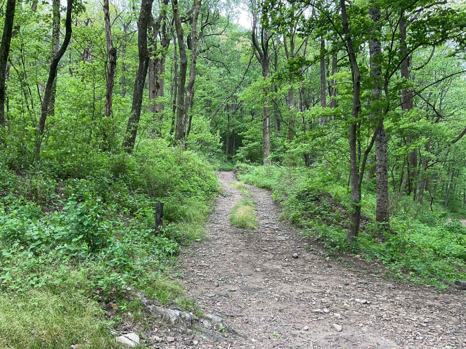
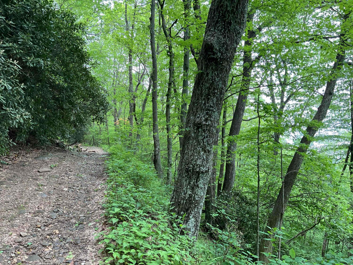
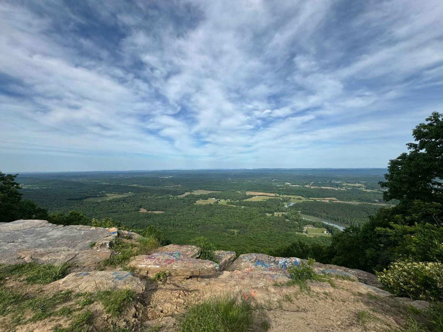
Trail Overview
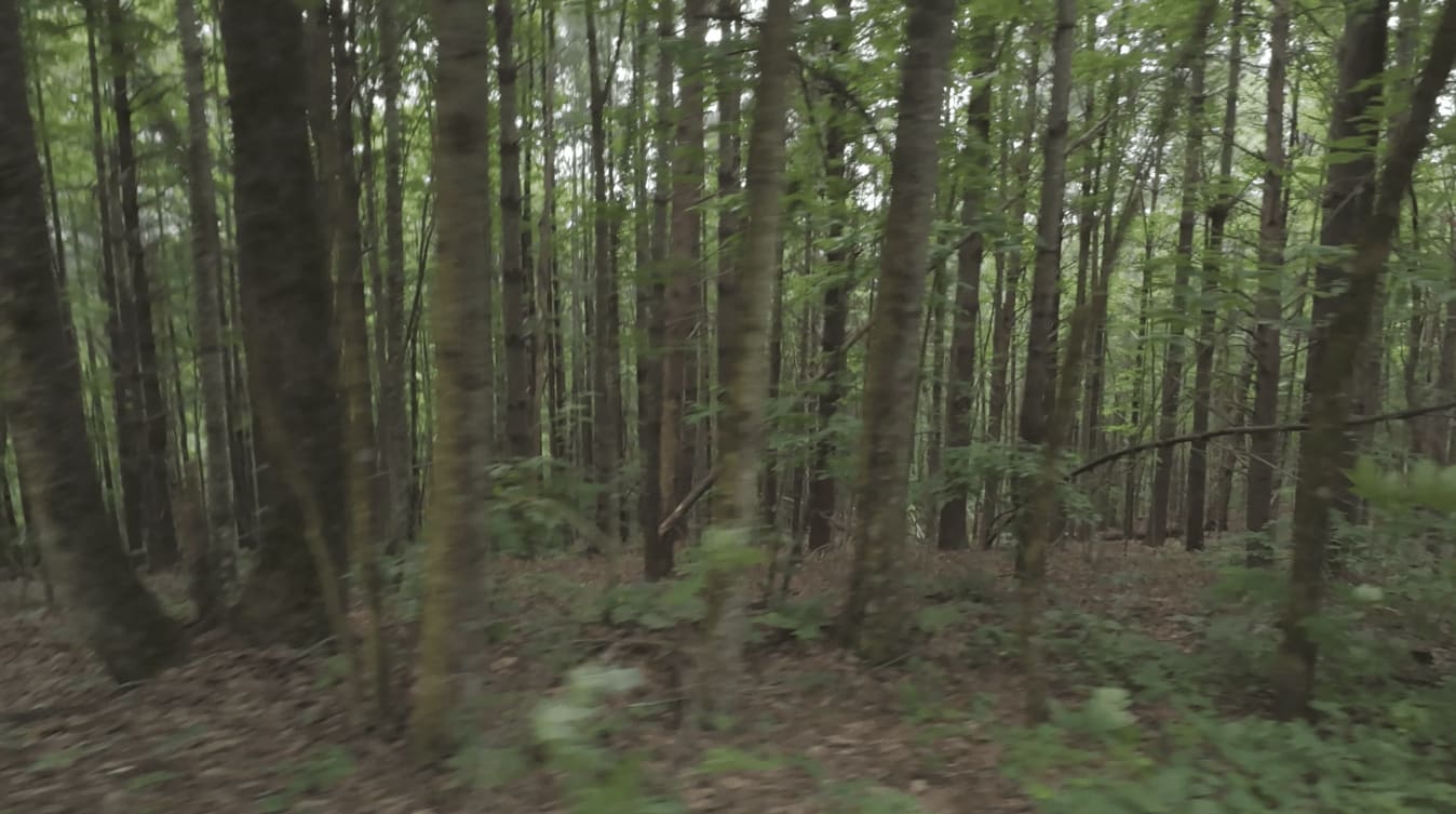
FS 46, Amicalola Creek Trail, is approximately 4.5 miles long and a relatively easy trail to navigate. You can enter from Nimblewill Road and exit the trail at an amazing campground associated with the Amicalola Falls State Park. The trail is a good mix of terrain. The portion closer to the State Park camping area consists of mostly hard-pack gravel roads that allow easy passing of oncoming traffic. When entering from the trailhead from Nimblewill Road, you can expect a winding, narrow dirt-based trail with some portions consisting mostly of stone. Following rainfall, there will be areas of standing water that can exceed 24 inches deep. There are convenient detours around the larger puddles along the way. The trail is heavily shaded during Spring and Summer, with better mountain views in the Fall. Check with the Blue Ridge Ranger District during winter months due to trail closures in the Chattahoochee National Forest. Vehicles accessing this trail are required to be licensed.
Photos of Amicalola Creek - FS 46
Difficulty
Rating 2 due to the narrow portions of the trail that make passing another vehicle difficult.
History
Nimblewill Road parallels a portion of the Appalachian Trail and conected to the legendary hiker, MJ Eberhart, the Nimblewill Nomad.
Status Reports
Amicalola Creek - FS 46 can be accessed by the following ride types:
- High-Clearance 4x4
- SUV
Amicalola Creek - FS 46 Map
Popular Trails
Pigeon Mountain

Black Point - Ceylon WMA
Trail to Wesley Lake
The onX Offroad Difference
onX Offroad combines trail photos, descriptions, difficulty ratings, width restrictions, seasonality, and more in a user-friendly interface. Available on all devices, with offline access and full compatibility with CarPlay and Android Auto. Discover what you’re missing today!