Off-Road Trails in Georgia
Discover off-road trails in Georgia
Learn more about Devil's Backbone - 93B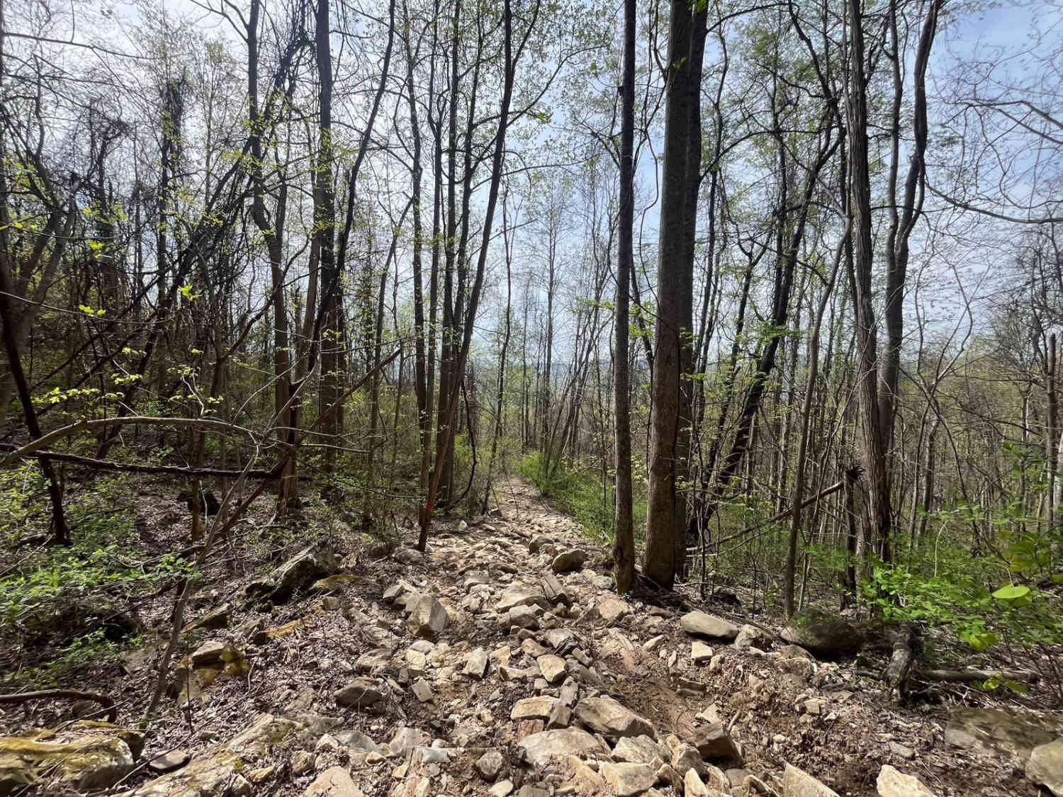
Devil's Backbone - 93B
Total Miles
0.5
Tech Rating
Extreme
Best Time
Spring, Summer
Learn more about Dicks Creek 
Dicks Creek
Total Miles
4.2
Tech Rating
Easy
Best Time
Summer, Spring, Fall, Winter
Learn more about Dockey Lake Recreation Area Trail
Dockey Lake Recreation Area Trail
Total Miles
1.8
Tech Rating
Easy
Best Time
Summer, Fall
Learn more about Double Bridges Trail F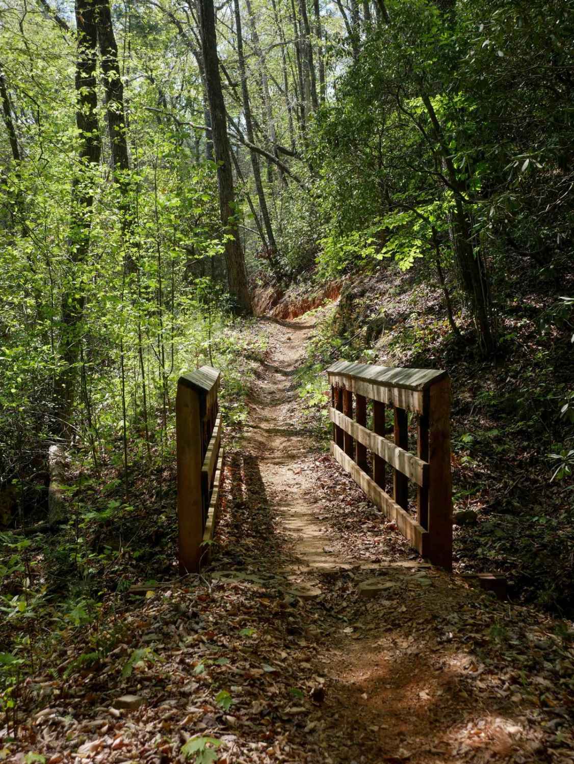
Double Bridges Trail F
Total Miles
0.9
Tech Rating
Easy
Best Time
Spring, Fall, Summer
Learn more about Dry Cr Branch B - Forest Road 226B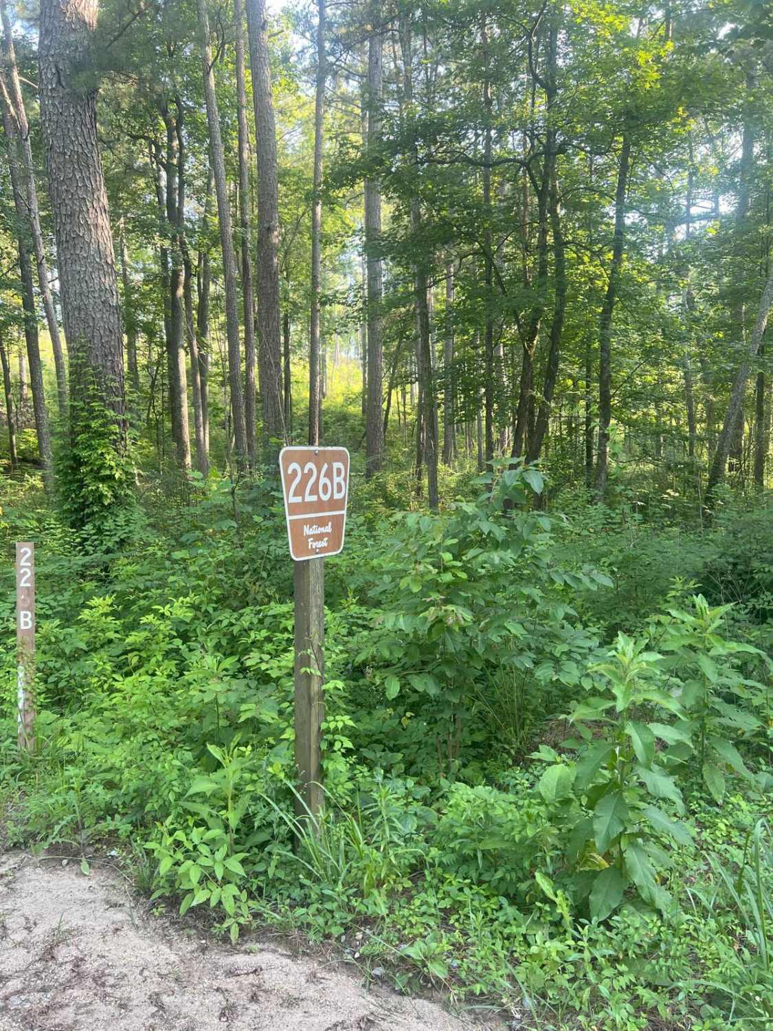
Dry Cr Branch B - Forest Road 226B
Total Miles
1.7
Tech Rating
Easy
Best Time
Spring, Summer, Winter, Fall
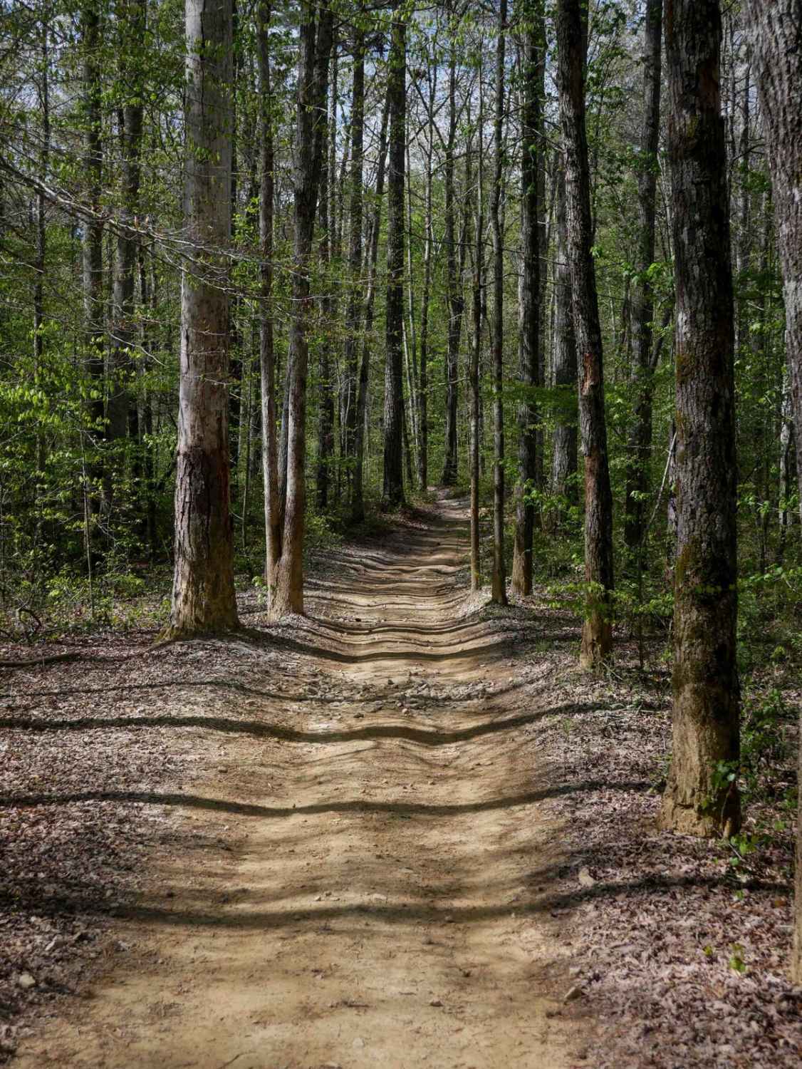
Learn more about Dry Creek - Forest Road 226
Dry Creek - Forest Road 226
Total Miles
2.3
Tech Rating
Easy
Best Time
Spring, Summer, Fall, Winter
Learn more about Dry Creek Branch C - Forest Road 226C
Dry Creek Branch C - Forest Road 226C
Total Miles
0.5
Tech Rating
Easy
Best Time
Winter, Fall, Summer, Spring
Learn more about Dry Creek Branch A - Forest Road 226A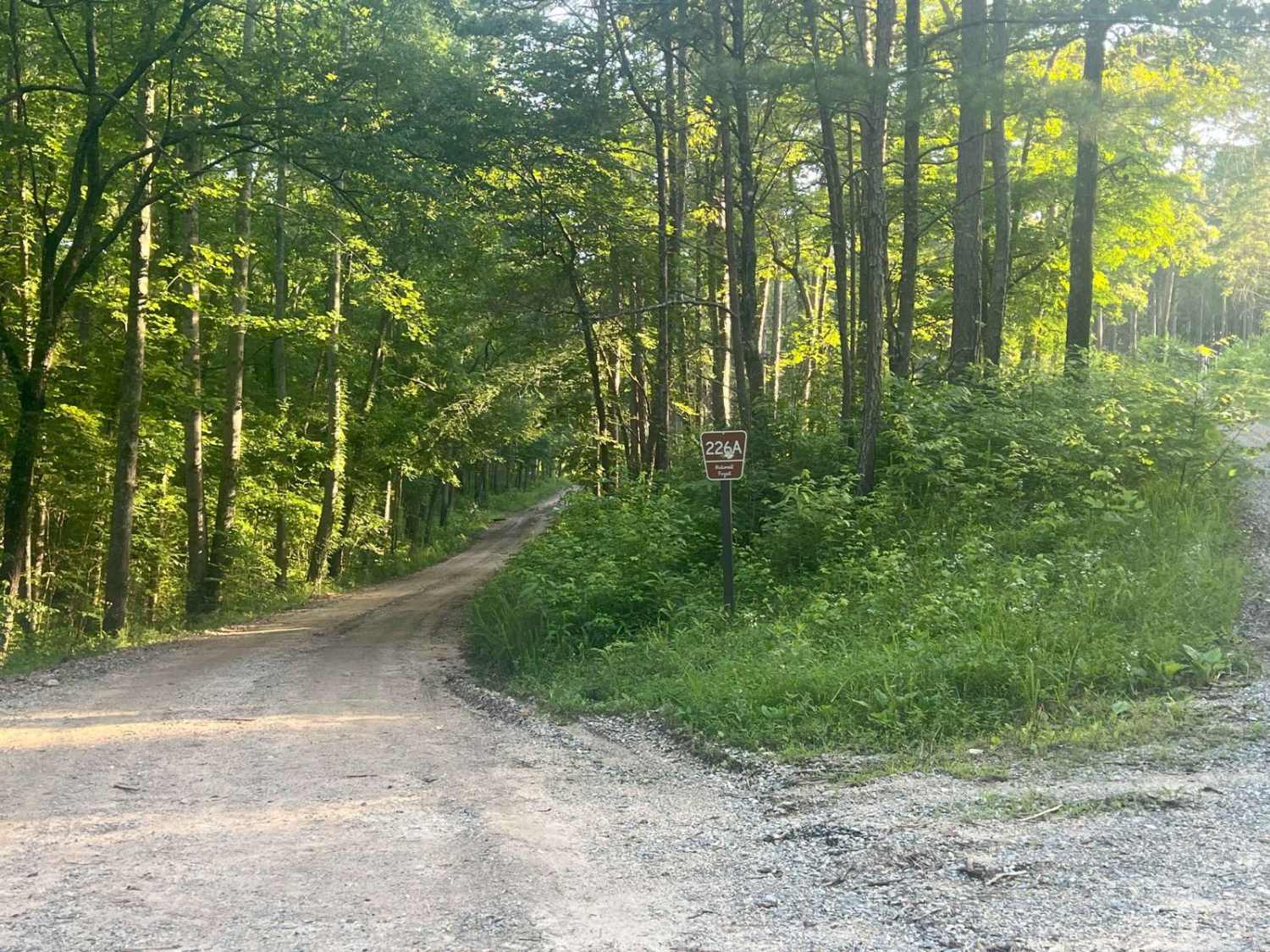
Dry Creek Branch A - Forest Road 226A
Total Miles
0.4
Tech Rating
Easy
Best Time
Winter, Fall, Summer, Spring
Learn more about Dubignon Hammock Road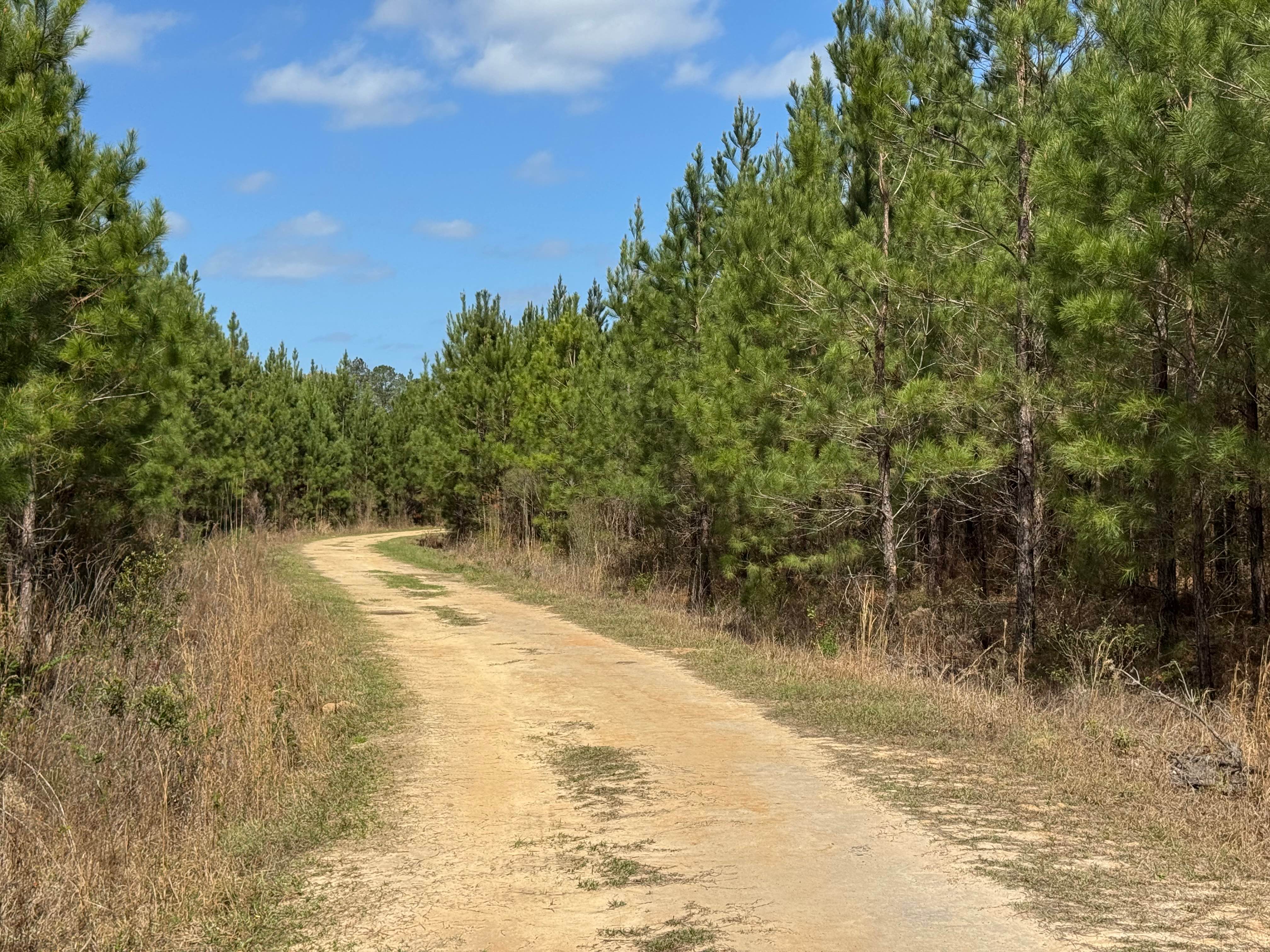
Dubignon Hammock Road
Total Miles
2.5
Tech Rating
Easy
Best Time
Spring, Summer, Fall, Winter
Learn more about Earls Ford Road 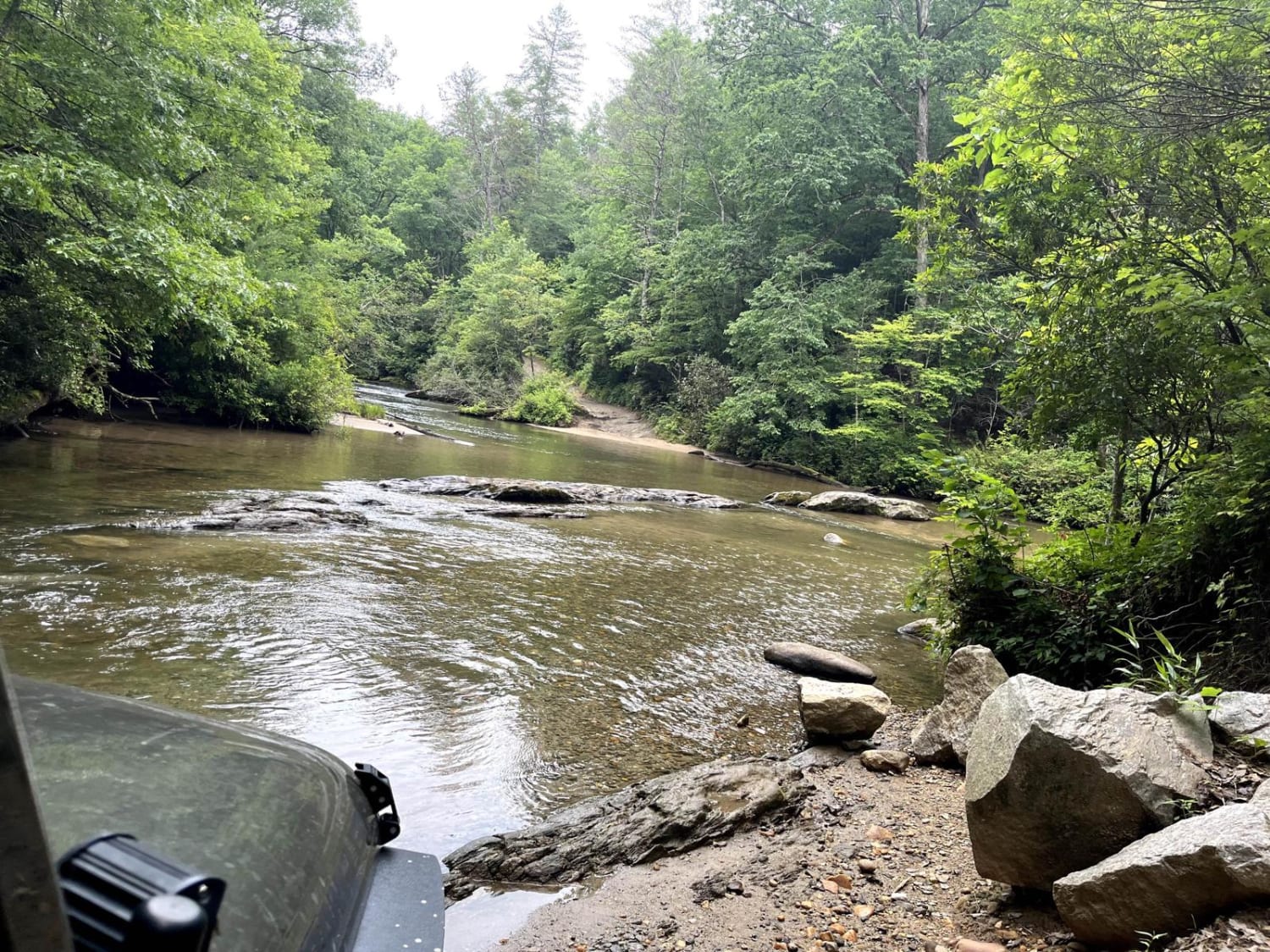
Earls Ford Road
Total Miles
3.6
Tech Rating
Moderate
Best Time
Spring, Summer, Fall, Winter
Learn more about East Armuchee Creek - Forest Road 310
East Armuchee Creek - Forest Road 310
Total Miles
1.3
Tech Rating
Easy
Best Time
Fall, Winter, Spring, Summer
Learn more about East Cowpen 
East Cowpen
Total Miles
4.6
Tech Rating
Easy
Best Time
Spring, Summer, Fall, Winter
Learn more about East Entrance Trail
East Entrance Trail
Total Miles
1.8
Tech Rating
Easy
Best Time
Spring, Summer, Fall, Winter
Learn more about East Rocky Mountain Road
East Rocky Mountain Road
Total Miles
0.5
Tech Rating
Easy
Best Time
Spring, Summer, Fall, Winter
Learn more about East Side Loop
East Side Loop
Total Miles
3.8
Tech Rating
Easy
Best Time
Spring, Summer, Fall, Winter
Learn more about Edwards Road
Edwards Road
Total Miles
3.1
Tech Rating
Easy
Best Time
Spring, Summer, Winter, Fall
Learn more about Etowah River Access
Etowah River Access
Total Miles
0.3
Tech Rating
Easy
Best Time
Spring, Summer
Learn more about Falls Branch Road - FSR 2
Falls Branch Road - FSR 2
Total Miles
2.6
Tech Rating
Easy
Best Time
Spring, Summer, Fall
ATV trails in Georgia


Learn more about 181-B-O connector Unlabeled
181-B-O connector Unlabeled
Total Miles
0.0
Tech Rating
Easy
Best Time
Spring, Summer, Fall
UTV/side-by-side trails in Georgia
Learn more about 3 - Peeples Lake
3 - Peeples Lake
Total Miles
3.5
Tech Rating
Easy
Best Time
Spring, Summer, Fall
Learn more about 5 Points Lake North Access
5 Points Lake North Access
Total Miles
0.9
Tech Rating
Easy
Best Time
Spring, Summer, Fall, Winter
Learn more about 631- Tatum Lead
631- Tatum Lead
Total Miles
7.4
Tech Rating
Easy
Best Time
Spring, Summer, Fall
Learn more about Alexander Hollow Trail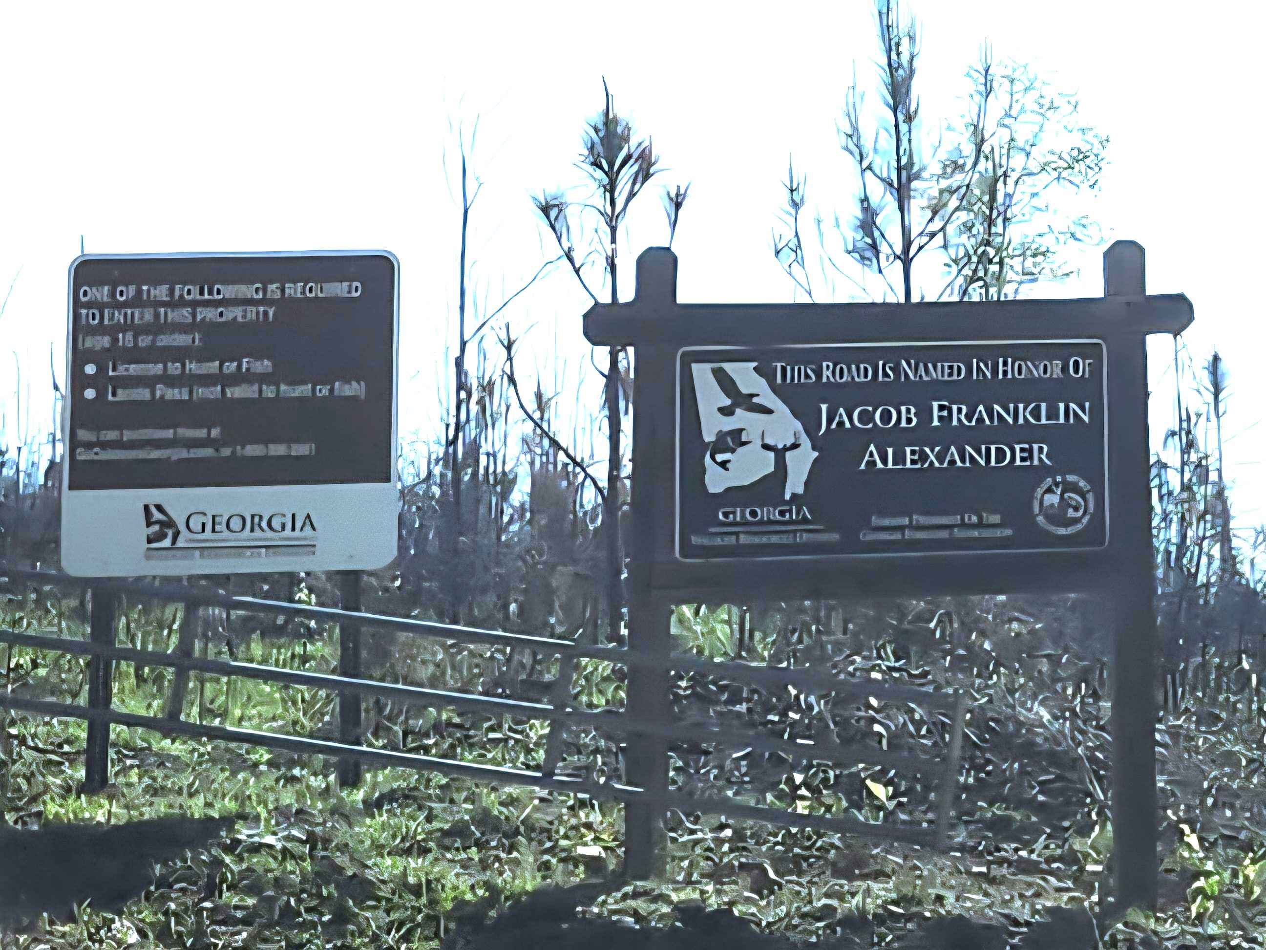
Alexander Hollow Trail
Total Miles
1.5
Tech Rating
Easy
Best Time
Spring, Summer, Fall, Winter
The onX Offroad Difference
onX Offroad combines trail photos, descriptions, difficulty ratings, width restrictions, seasonality, and more in a user-friendly interface. Available on all devices, with offline access and full compatibility with CarPlay and Android Auto. Discover what you’re missing today!