Edwards Road
Total Miles
3.1
Technical Rating
Best Time
Spring, Summer, Winter, Fall
Trail Type
Full-Width Road
Accessible By
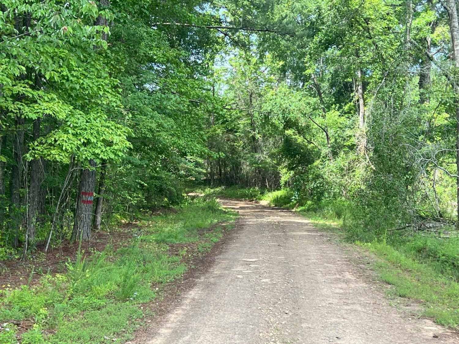
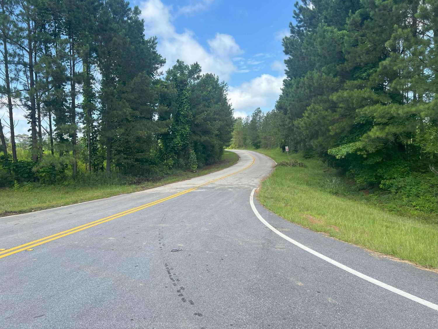
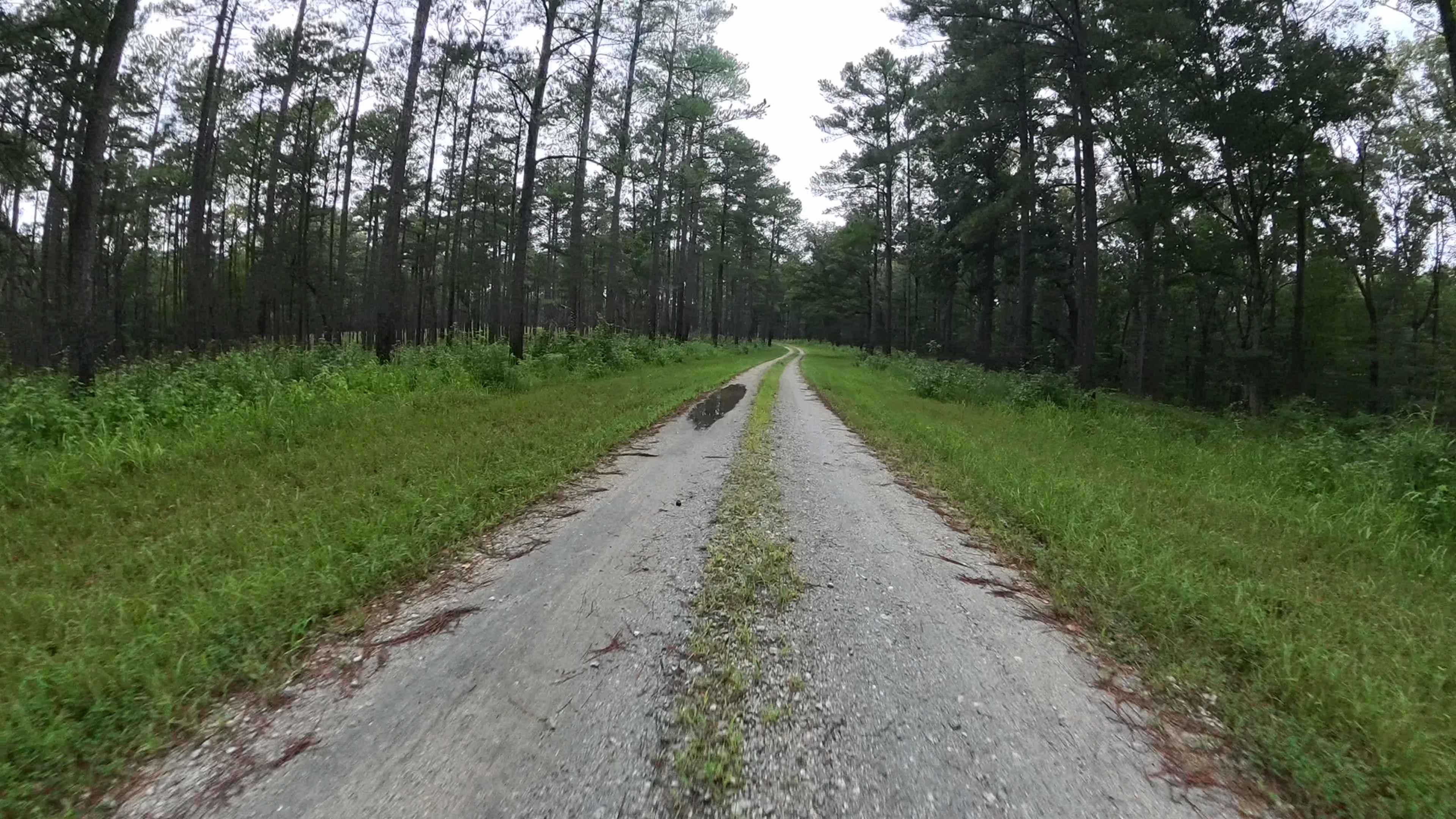
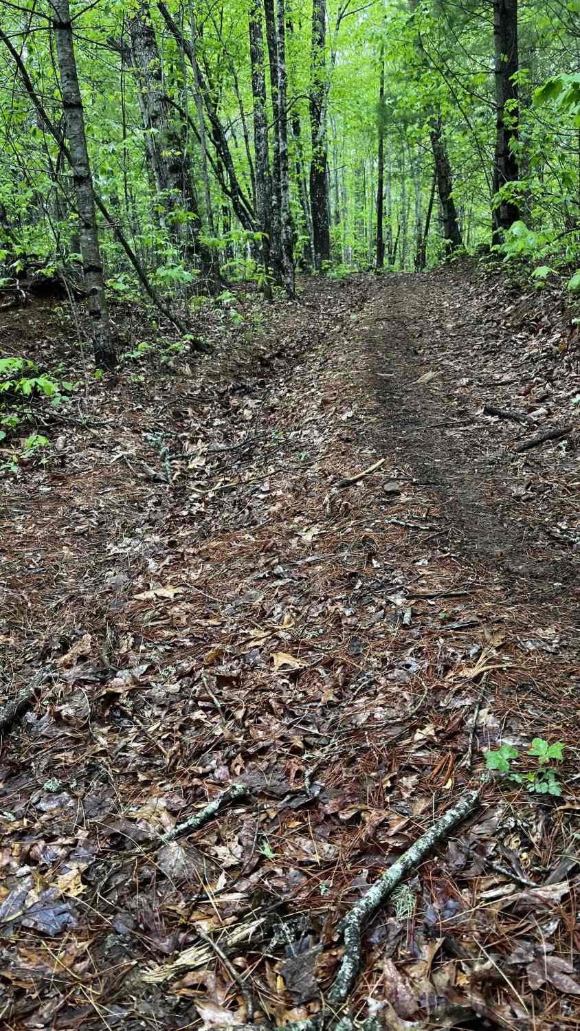
Trail Overview
Located near Franklin, Georgia, in Heard County, this rural county-maintained road is one of the West Point Wildlife Management Area (WMA) entrances. While publicly accessible, it is not a priority route for resurfacing and can become challenging during or after wet weather. Roughly 300 yards from GA State Highway 27, the road crosses a small creek, with another crossing on the opposite end. About one mile in, you'll reach a gated entrance to the WMA, providing access to additional trails open only during hunting season. For seasonal access details and regulations, visit: georgiawildlife.com/west-point-wma.This. This road features multiple muddy sections and water holes, making for a fun but messy drive in wet conditions. Just before the WMA gate, a low-lying area may flood or wash out during heavy rain, so extra caution is advised. This road continues until it connects with Thompson Road.
Photos of Edwards Road
Difficulty
This road is primarily dirt and can become very muddy and slick during wet or rainy seasons, with the potential for shallow water crossings. While it is mostly wide enough for two vehicles, it does narrow in certain areas. To help reduce washouts, many of the rougher sections have been reinforced with asphalt millings; however, drivers should still proceed with caution, especially in poor weather conditions.
Status Reports
Edwards Road can be accessed by the following ride types:
- High-Clearance 4x4
- SUV
Edwards Road Map
Popular Trails

Manning Mill Hill Climb -Forest Road 227
West Vaco Road
Flatlands FS Road 637

Panther Creek Road
The onX Offroad Difference
onX Offroad combines trail photos, descriptions, difficulty ratings, width restrictions, seasonality, and more in a user-friendly interface. Available on all devices, with offline access and full compatibility with CarPlay and Android Auto. Discover what you’re missing today!