Off-Road Trails in Georgia
Discover off-road trails in Georgia
Learn more about Lyles Old Field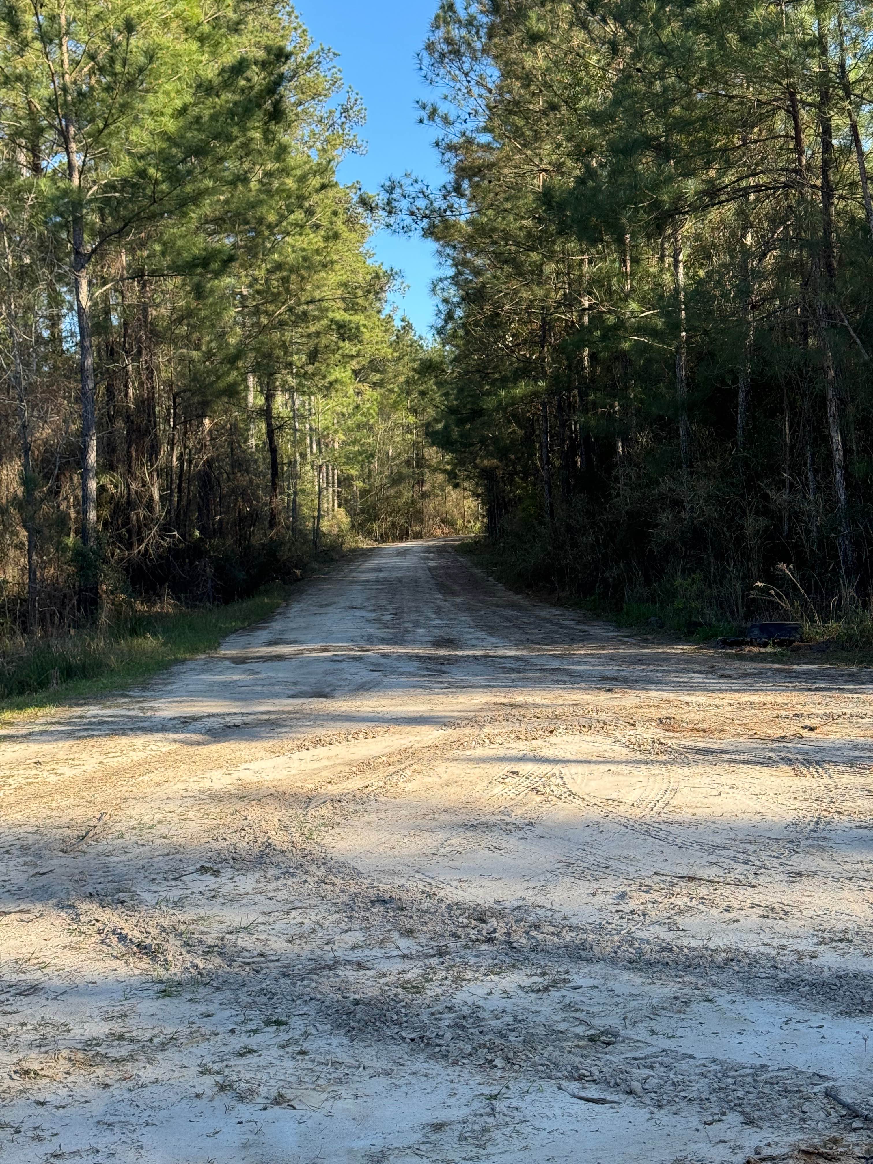
Lyles Old Field
Total Miles
1.9
Tech Rating
Easy
Best Time
Spring, Summer, Fall, Winter
Learn more about Main Road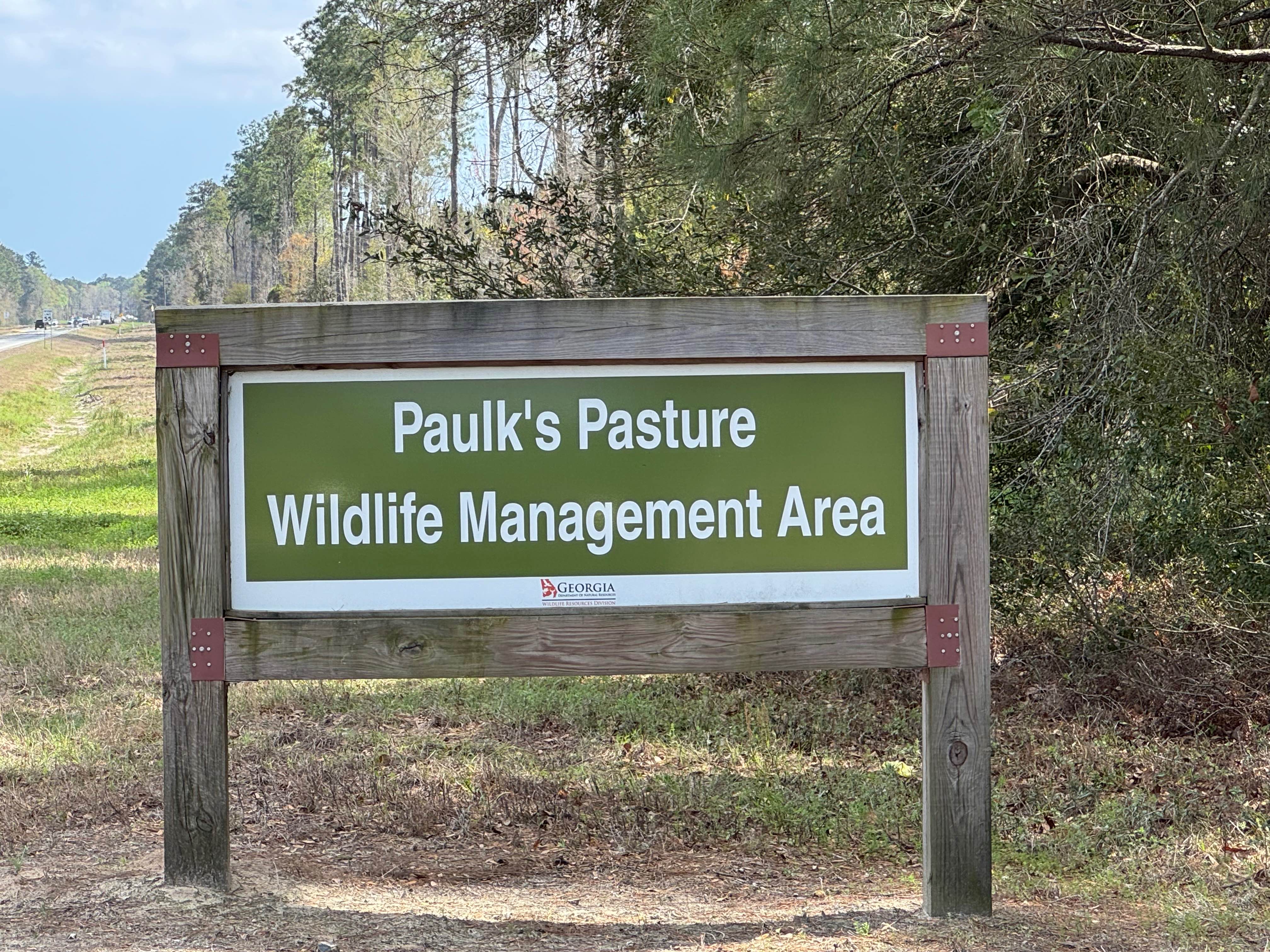
Main Road
Total Miles
5.4
Tech Rating
Easy
Best Time
Spring, Summer, Fall, Winter
Learn more about Manning Mill Hill Climb -Forest Road 227
Manning Mill Hill Climb -Forest Road 227
Total Miles
0.2
Tech Rating
Moderate
Best Time
Spring, Fall, Winter, Summer
Learn more about Manning Mill Road - Forest Road 227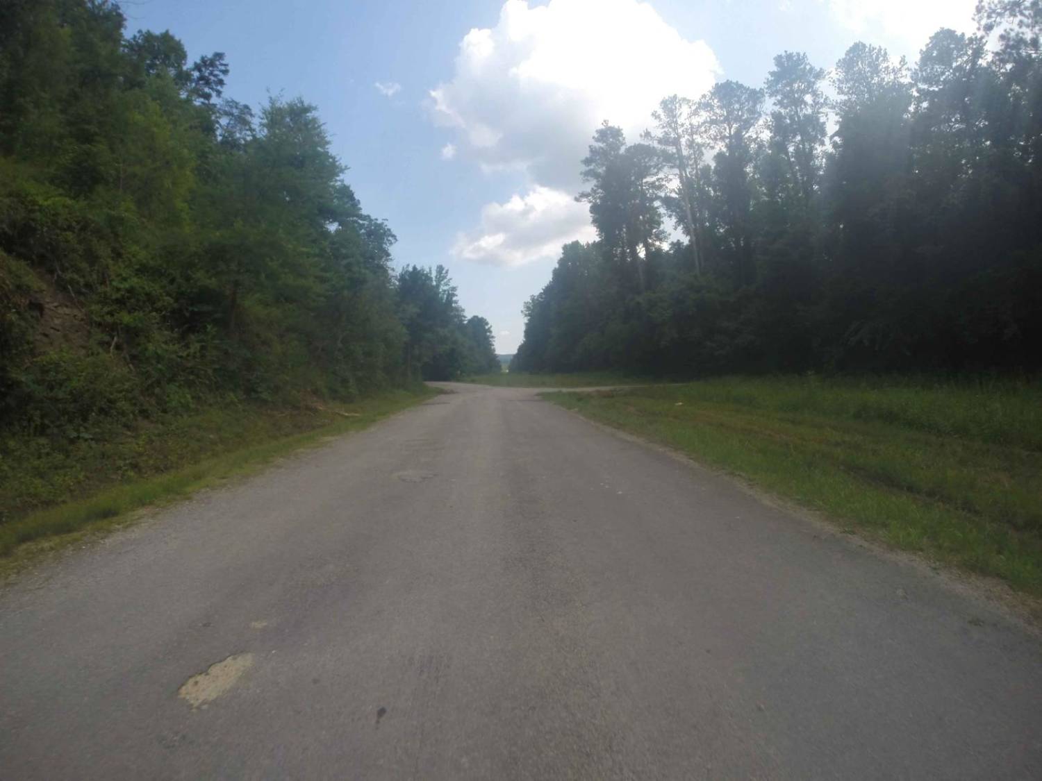
Manning Mill Road - Forest Road 227
Total Miles
4.0
Tech Rating
Easy
Best Time
Spring, Summer, Fall, Winter
Learn more about Manning Mill Spur - Forest Road 227A
Manning Mill Spur - Forest Road 227A
Total Miles
2.1
Tech Rating
Easy
Best Time
Summer, Spring, Fall, Winter
Learn more about Middleton Lake Road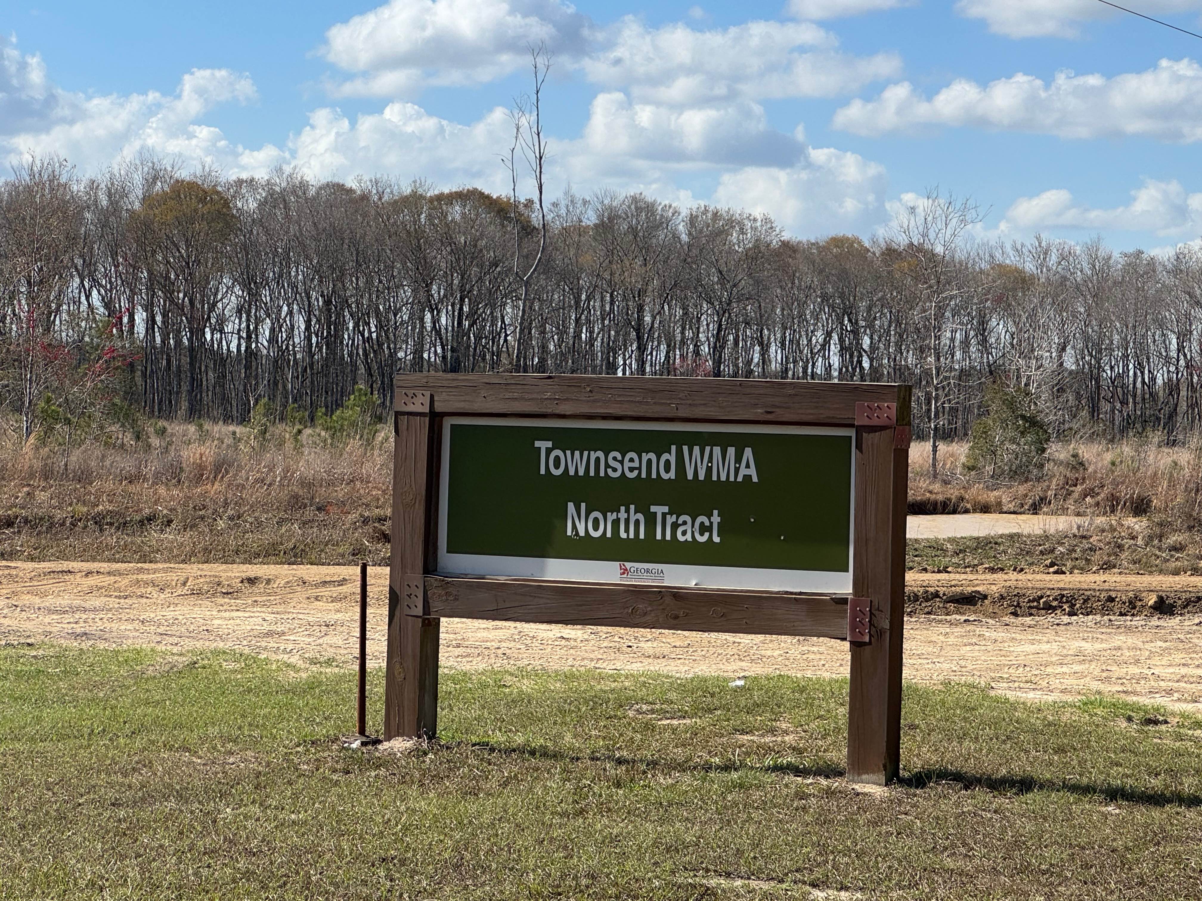
Middleton Lake Road
Total Miles
5.1
Tech Rating
Easy
Best Time
Spring, Summer, Fall, Winter
Learn more about Mill Creek Overlook - FS-630A
Mill Creek Overlook - FS-630A
Total Miles
0.7
Tech Rating
Easy
Best Time
Spring, Summer, Fall
Learn more about Miller Lake Access
Miller Lake Access
Total Miles
2.5
Tech Rating
Easy
Best Time
Spring, Fall, Winter, Summer
Learn more about Moates Knob - Oakey Mountain OHV
Moates Knob - Oakey Mountain OHV
Total Miles
3.4
Tech Rating
Difficult
Best Time
Spring, Summer, Fall
Learn more about Molly Houston 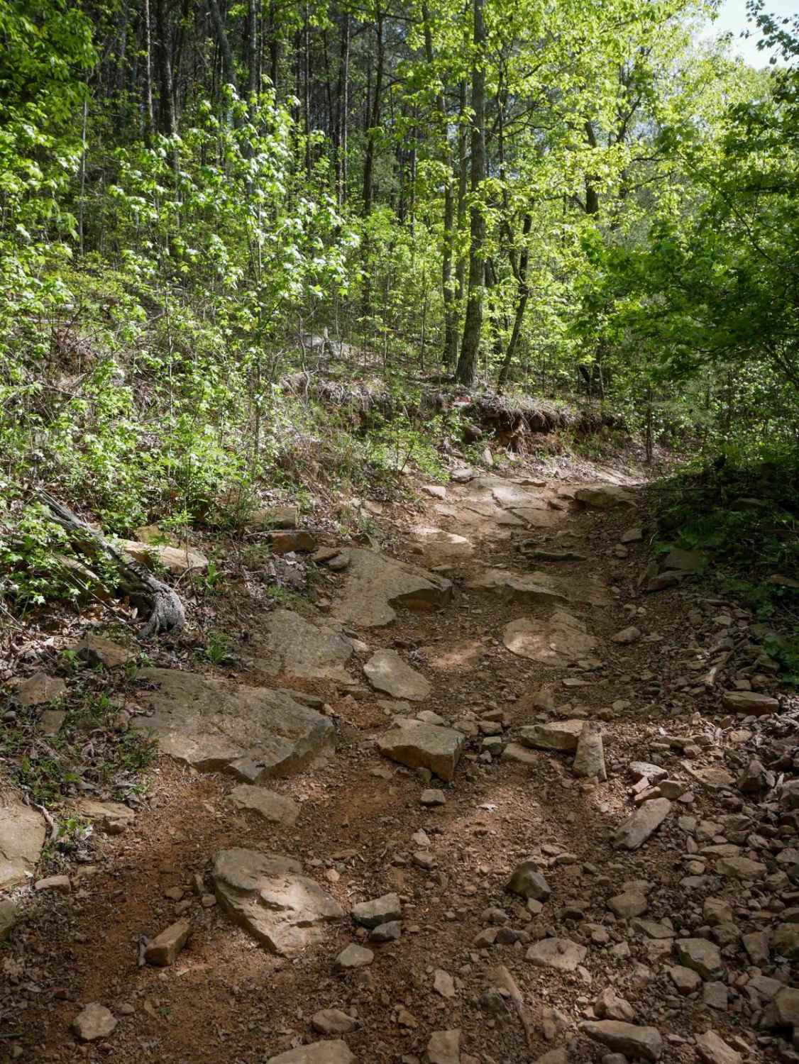
Molly Houston
Total Miles
5.2
Tech Rating
Easy
Best Time
Spring, Fall, Summer
Learn more about Monroe Tyler Road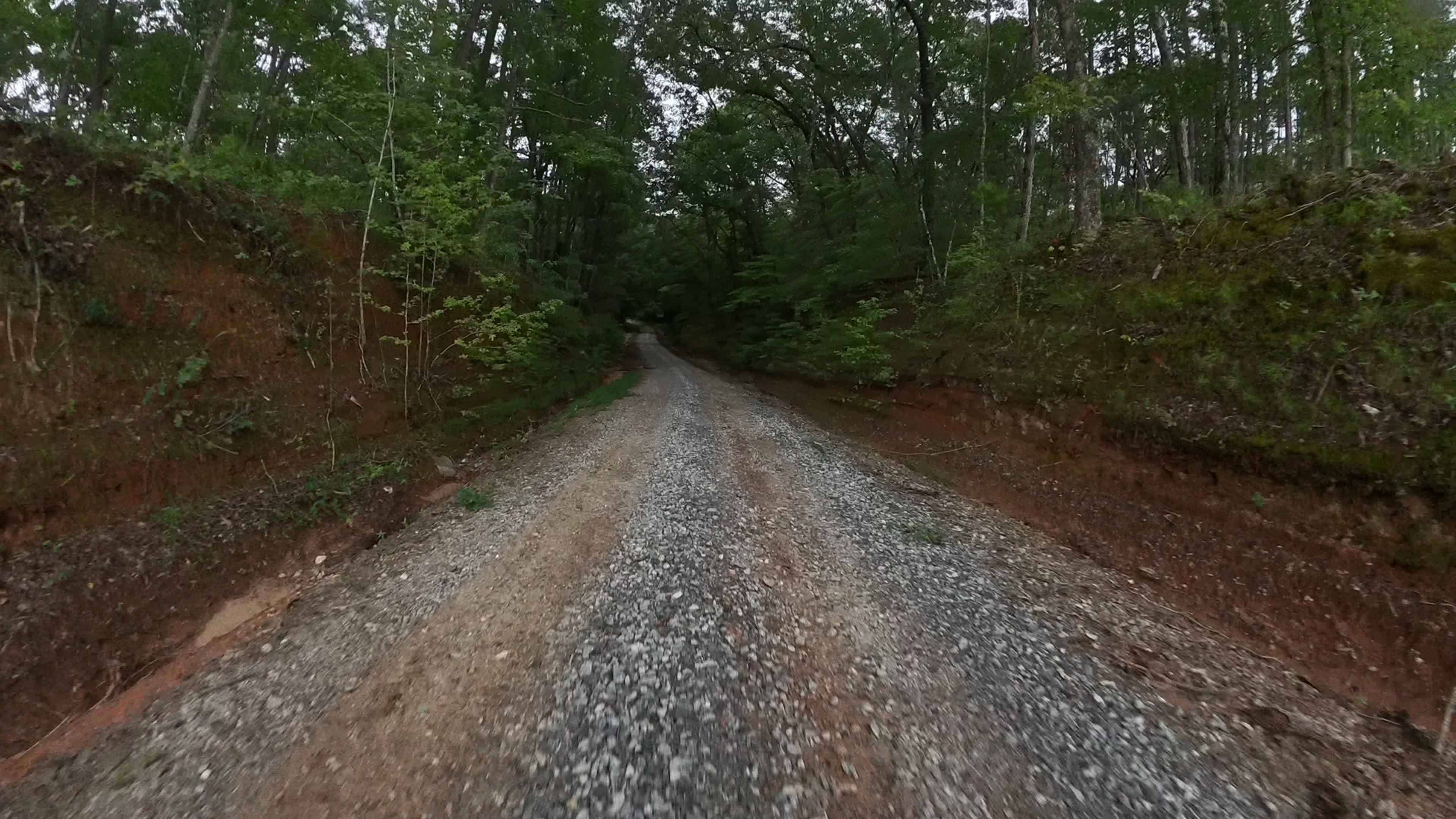
Monroe Tyler Road
Total Miles
2.3
Tech Rating
Easy
Best Time
Spring, Fall, Winter, Summer
Learn more about Montgomery Creek - FS 141
Montgomery Creek - FS 141
Total Miles
5.7
Tech Rating
Easy
Best Time
Spring, Summer, Fall, Winter
Learn more about Morning Star Road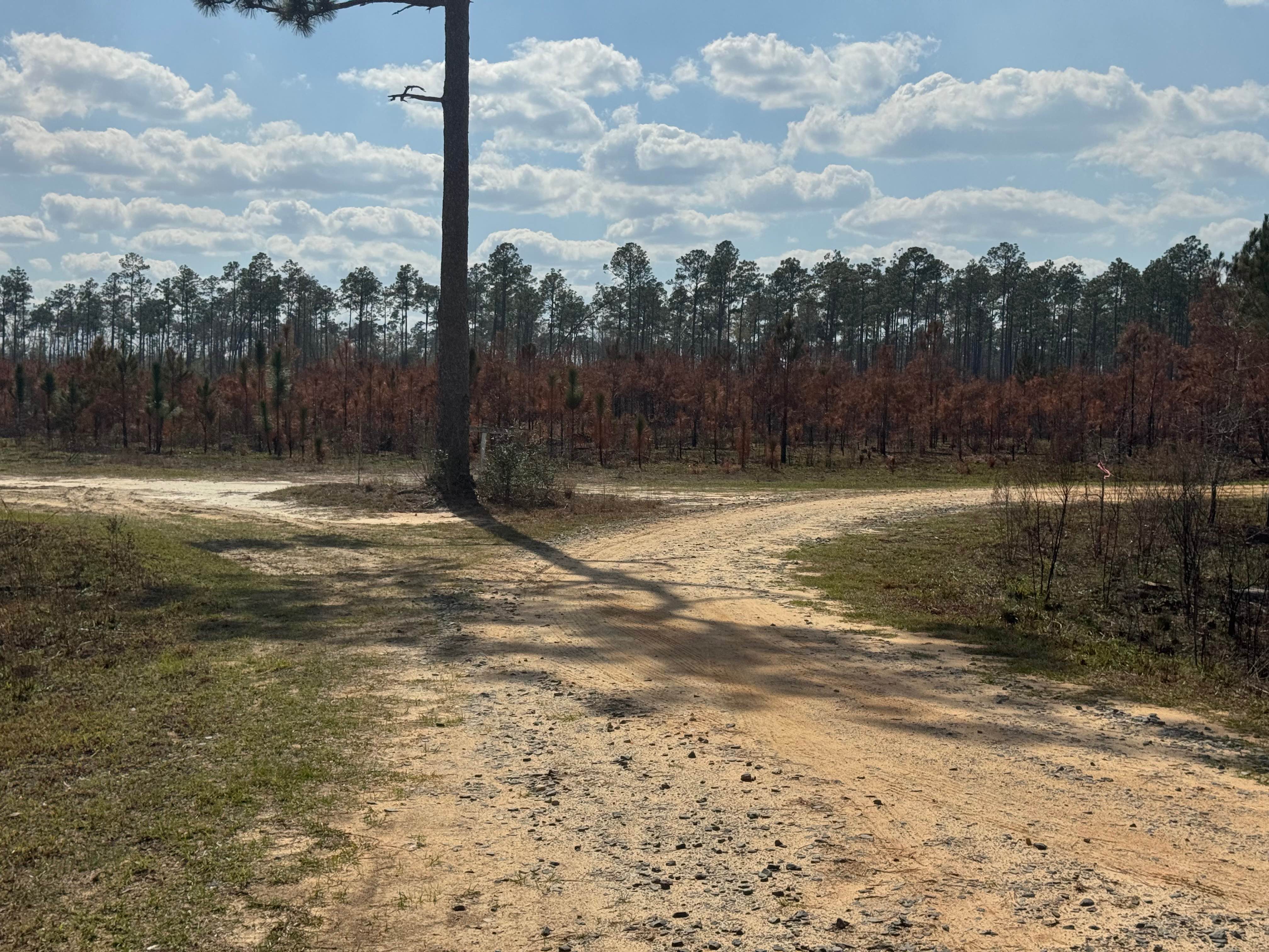
Morning Star Road
Total Miles
2.4
Tech Rating
Easy
Best Time
Spring, Summer, Fall, Winter

Learn more about Moss Road
Moss Road
Total Miles
1.6
Tech Rating
Easy
Best Time
Spring, Summer, Fall, Winter
Learn more about Mount Joy - Forest Road 216
Mount Joy - Forest Road 216
Total Miles
1.0
Tech Rating
Easy
Best Time
Spring, Summer, Fall, Winter
Learn more about Mud Creek Road
Mud Creek Road
Total Miles
2.8
Tech Rating
Easy
Best Time
Winter, Fall, Spring
Learn more about Mulberry Gap Road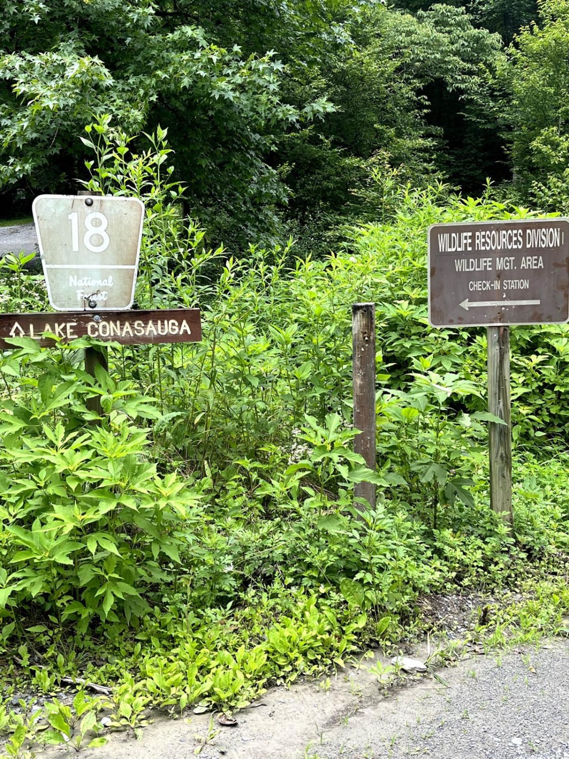
Mulberry Gap Road
Total Miles
2.2
Tech Rating
Easy
Best Time
Spring, Summer, Fall, Winter
Learn more about Mulky Gap - FS 4
Mulky Gap - FS 4
Total Miles
4.6
Tech Rating
Easy
Best Time
Spring, Summer, Fall, Winter
ATV trails in Georgia


Learn more about 181-B-O connector Unlabeled
181-B-O connector Unlabeled
Total Miles
0.0
Tech Rating
Easy
Best Time
Spring, Summer, Fall
UTV/side-by-side trails in Georgia
Learn more about 3 - Peeples Lake
3 - Peeples Lake
Total Miles
3.5
Tech Rating
Easy
Best Time
Spring, Summer, Fall
Learn more about 631- Tatum Lead
631- Tatum Lead
Total Miles
7.4
Tech Rating
Easy
Best Time
Spring, Summer, Fall
Learn more about Alexander Hollow Trail
Alexander Hollow Trail
Total Miles
1.5
Tech Rating
Easy
Best Time
Spring, Summer, Fall, Winter
Learn more about Alexander Ridge Trail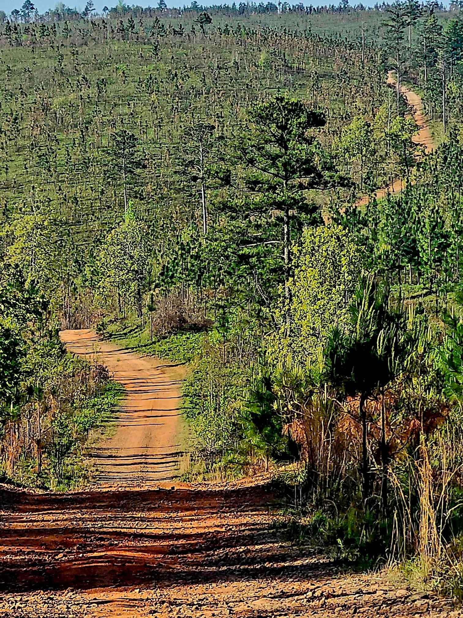
Alexander Ridge Trail
Total Miles
3.9
Tech Rating
Easy
Best Time
Spring, Summer, Fall, Winter
The onX Offroad Difference
onX Offroad combines trail photos, descriptions, difficulty ratings, width restrictions, seasonality, and more in a user-friendly interface. Available on all devices, with offline access and full compatibility with CarPlay and Android Auto. Discover what you’re missing today!