Miller Lake Access
Total Miles
2.5
Technical Rating
Best Time
Spring, Fall, Winter, Summer
Trail Type
Full-Width Road
Accessible By
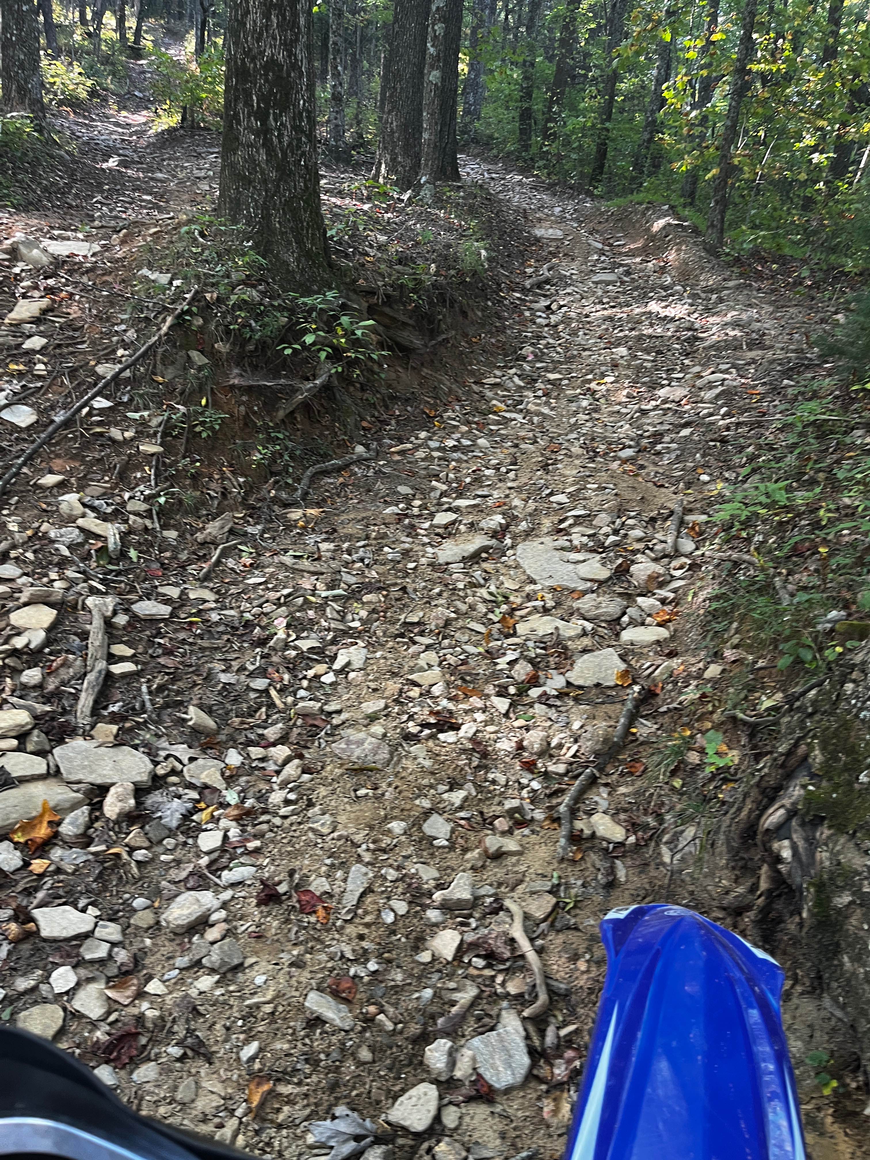
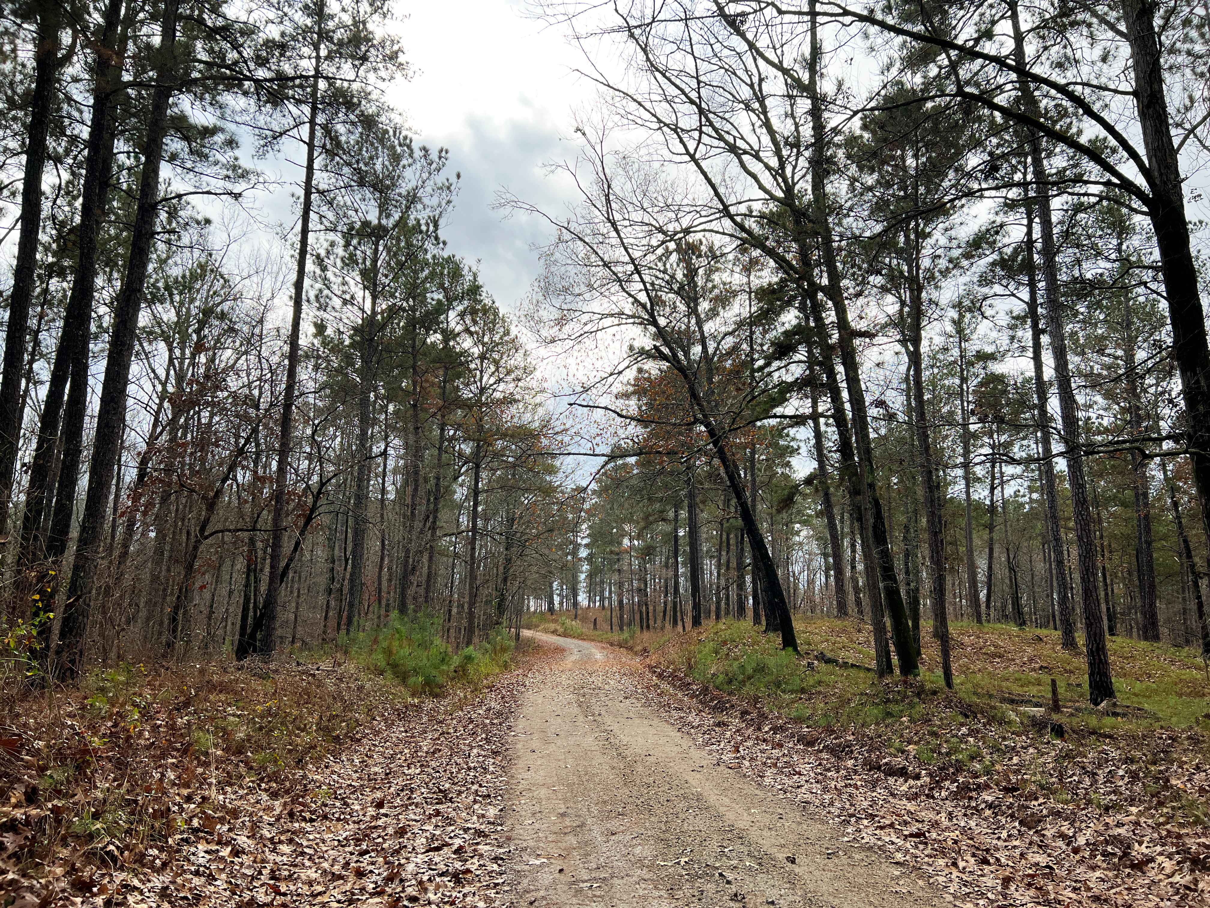
Trail Overview
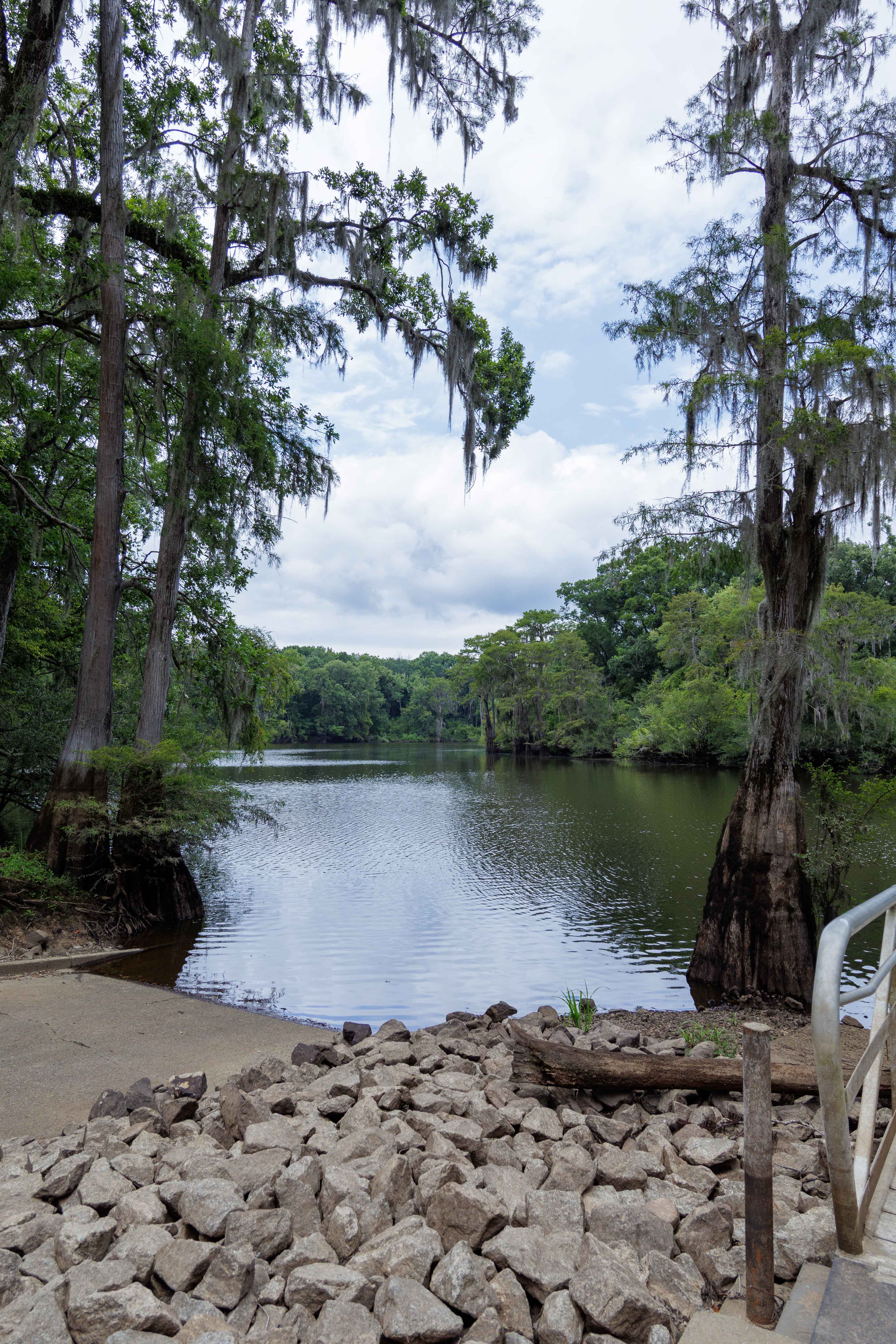
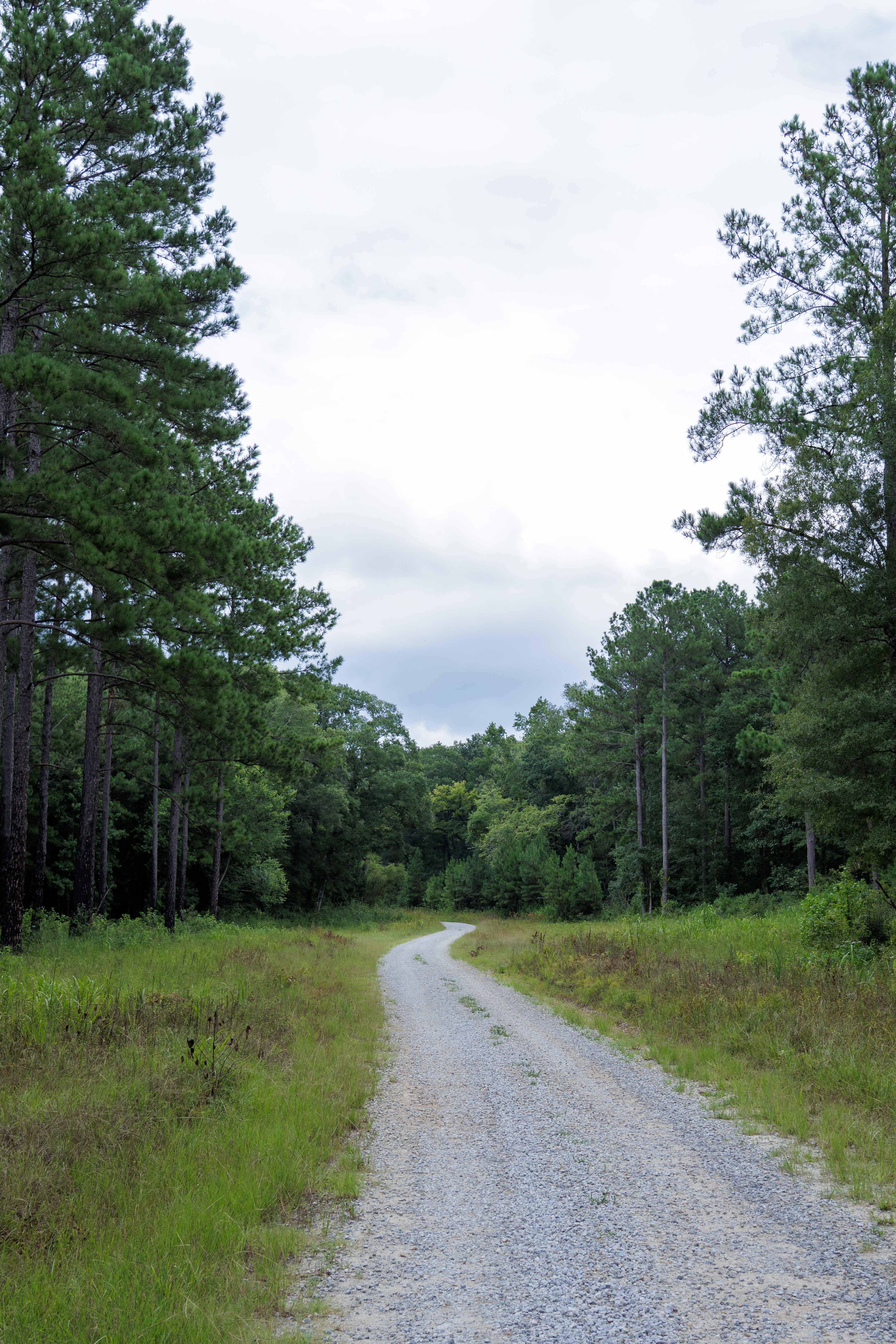
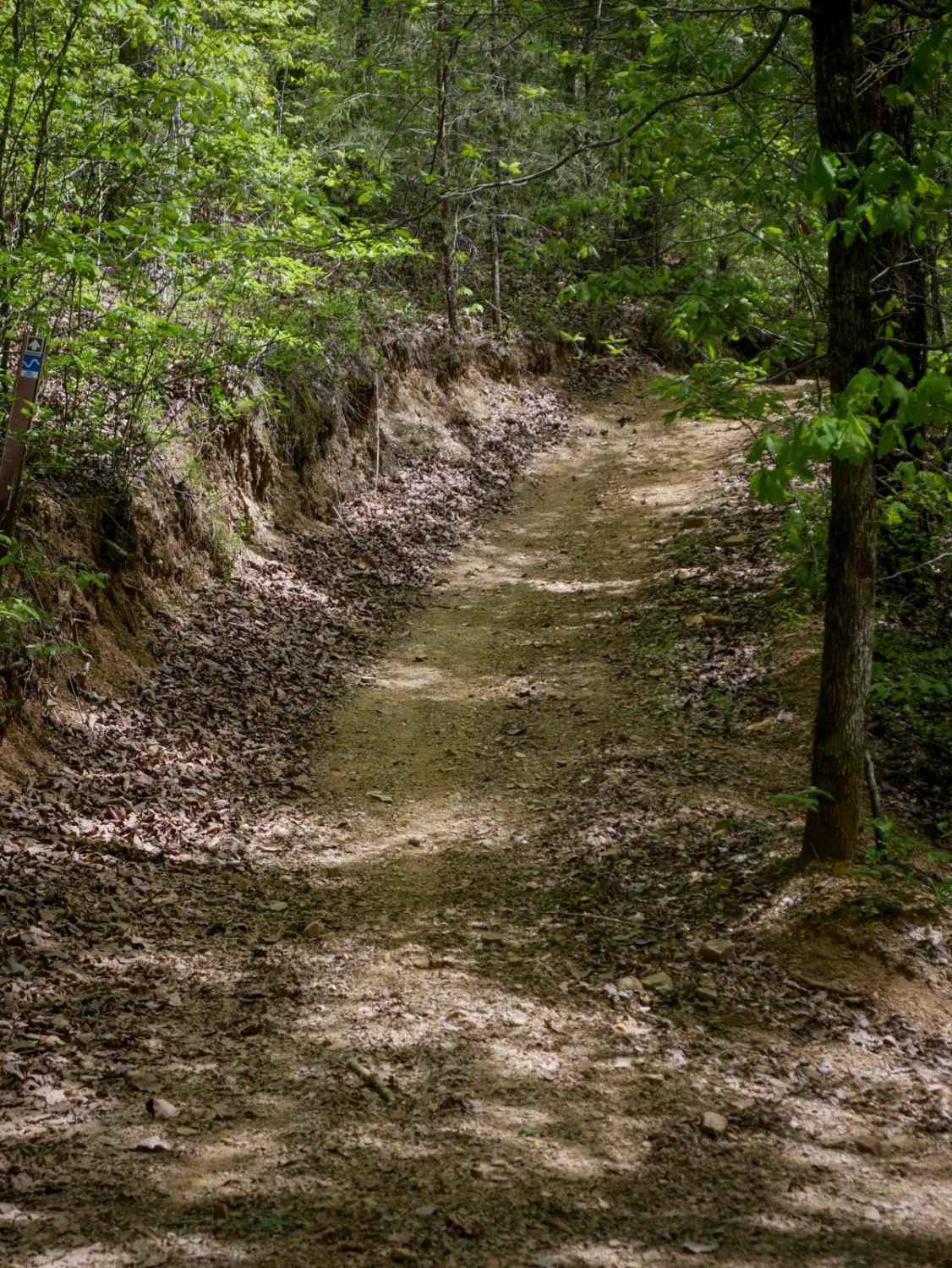
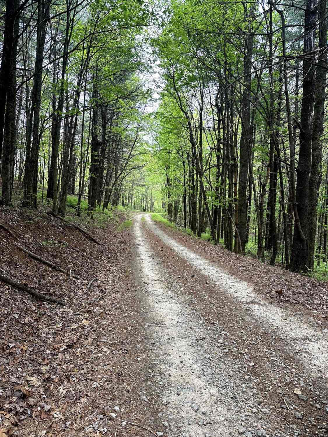
This route is entirely within the Tuckahoe Wildlife Management Area, a 15,000-acre property bordering the Savannah River. A fishing and/or hunting license is required to legally enter the property and can be obtained via georgiawildlife.com/tuckahoe-wma. Camping is only permitted in one of the two designated camping areas within the property. This route spurs from Clay Hill Route and concludes at the Miller Lake boat landing; the route travels the swamp, which is susceptible to periodic flooding, so best judgment is needed before crossing. Miller Lake is a spur of the Savannah River with a large parking area, aluminum floating dock, and paved ramp for access for boating or fishing.
Photos of Miller Lake Access
Difficulty
The route to Miller Creek is well maintained by the Georgia DNR and is mostly a large gravel road. Some clearance is necessary due to the larger-sized nature of the gravel used, about softball-sized. If launching a boat via the ramp, it is paved but steep.
Status Reports
Miller Lake Access can be accessed by the following ride types:
- High-Clearance 4x4
- SUV
- SxS (60")
- ATV (50")
- Dirt Bike
Miller Lake Access Map
Popular Trails
Plantation Ridge Loop
Moates Knob - Oakey Mountain OHV
Scenic Juliette
The onX Offroad Difference
onX Offroad combines trail photos, descriptions, difficulty ratings, width restrictions, seasonality, and more in a user-friendly interface. Available on all devices, with offline access and full compatibility with CarPlay and Android Auto. Discover what you’re missing today!