Stamp Ridge
Total Miles
10.0
Technical Rating
Best Time
Spring, Fall
Trail Type
Full-Width Road
Accessible By
Trail Overview
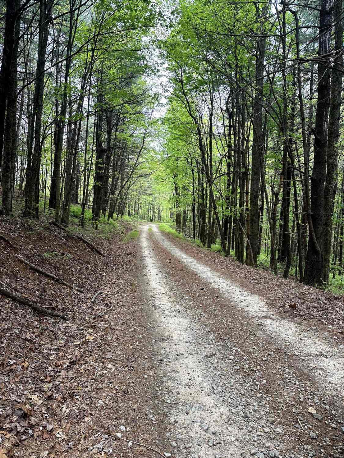
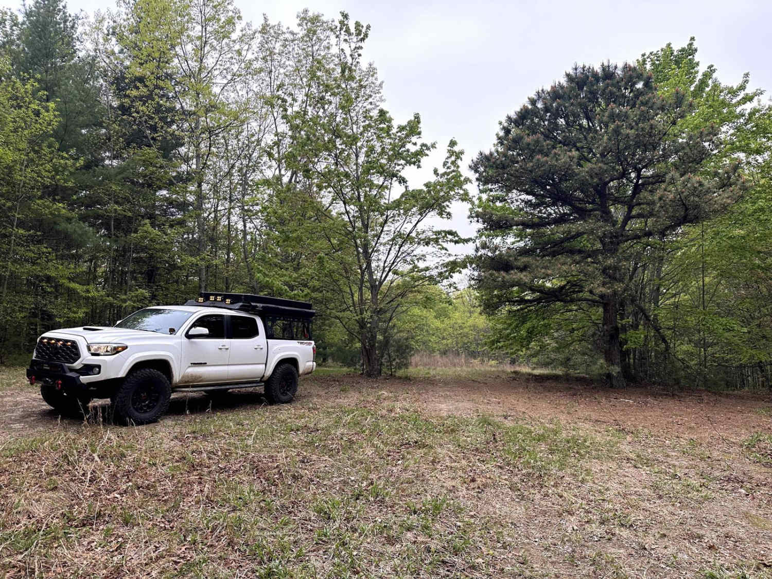
Stamp Ridge is a long out-and-back trail that seems to be one of the lesser-traveled trails in the area. The majority is easy-going gravel road until the last half mile, which turns into a tight single-track dirt road. Along the way, you will see an amazing view of the ridgeline of many nearby mountaintops.
Photos of Stamp Ridge
Difficulty
The trail consists of a mostly gravel road that is well-maintained. There's a short 0.5-mile section at the end that is mainly dirt. The last section is a tight single track, so expect some new pinstripes.
Status Reports
Stamp Ridge can be accessed by the following ride types:
- High-Clearance 4x4
- SUV
- SxS (60")
Stamp Ridge Map
Popular Trails

Hickorynut Gap - FSR 797
Trail to Hidden Lake
631- Tatum Lead
The onX Offroad Difference
onX Offroad combines trail photos, descriptions, difficulty ratings, width restrictions, seasonality, and more in a user-friendly interface. Available on all devices, with offline access and full compatibility with CarPlay and Android Auto. Discover what you’re missing today!