Monroe Tyler Road
Total Miles
2.3
Technical Rating
Best Time
Spring, Fall, Winter, Summer
Trail Type
Full-Width Road
Accessible By
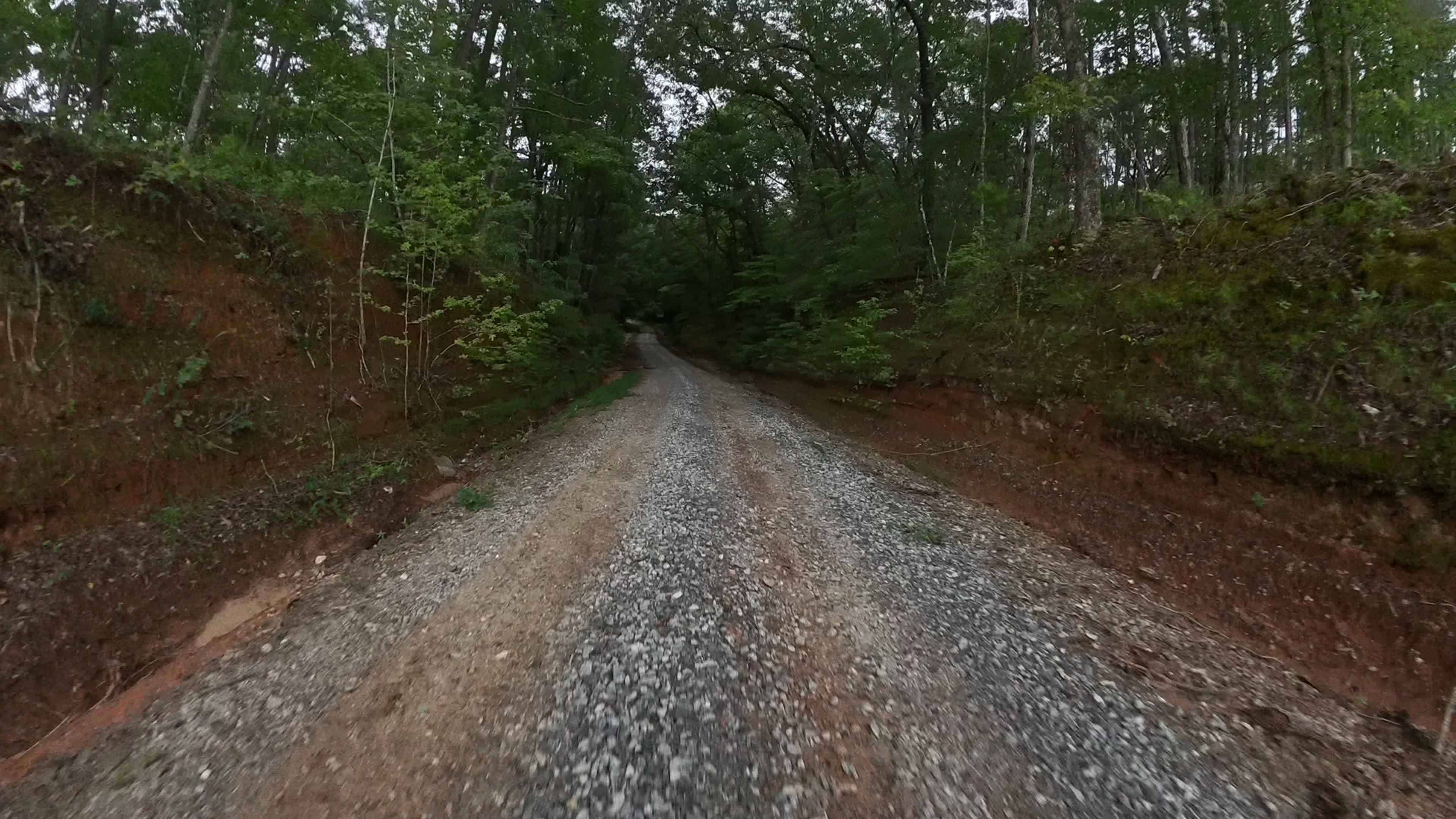
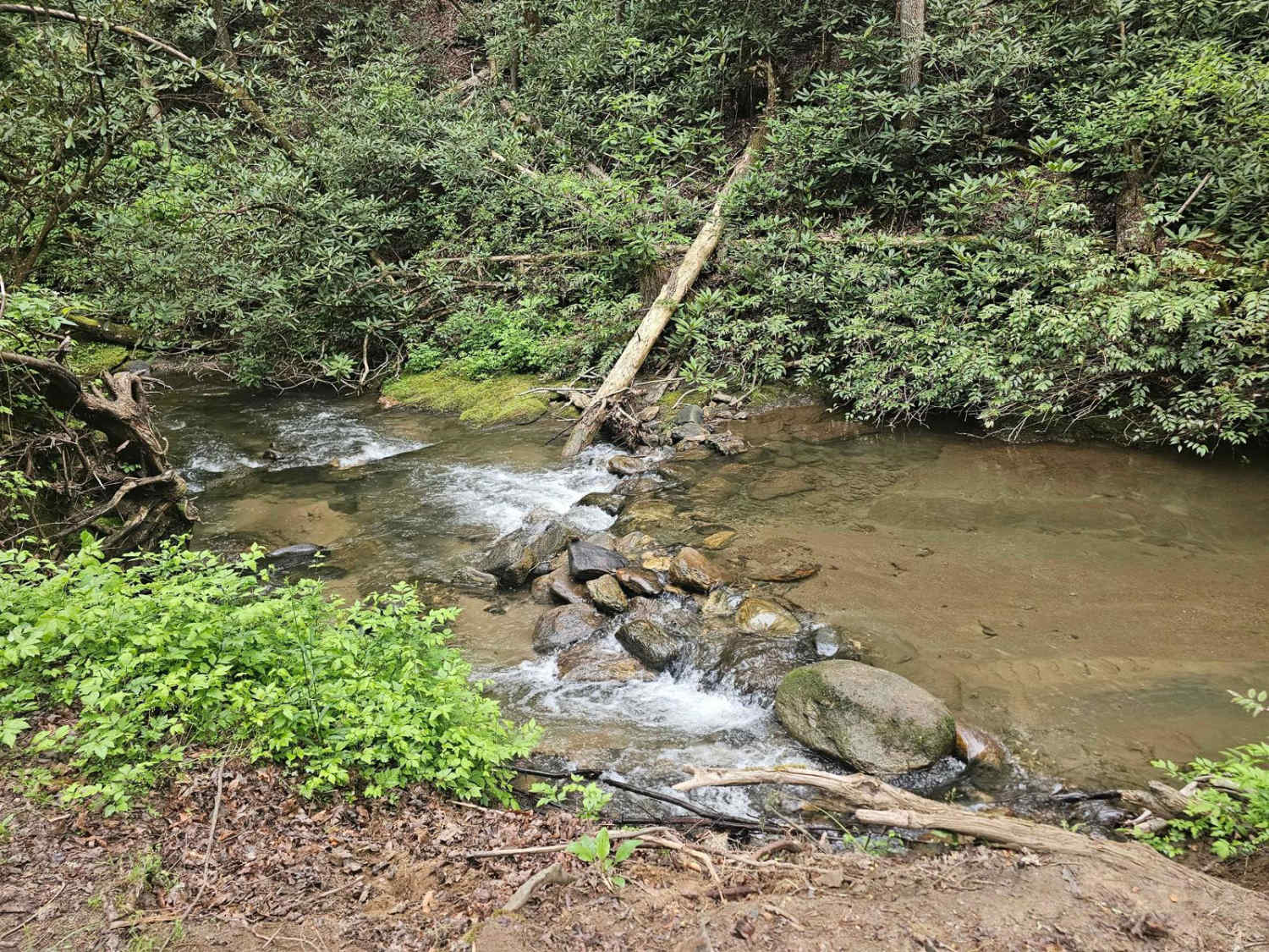
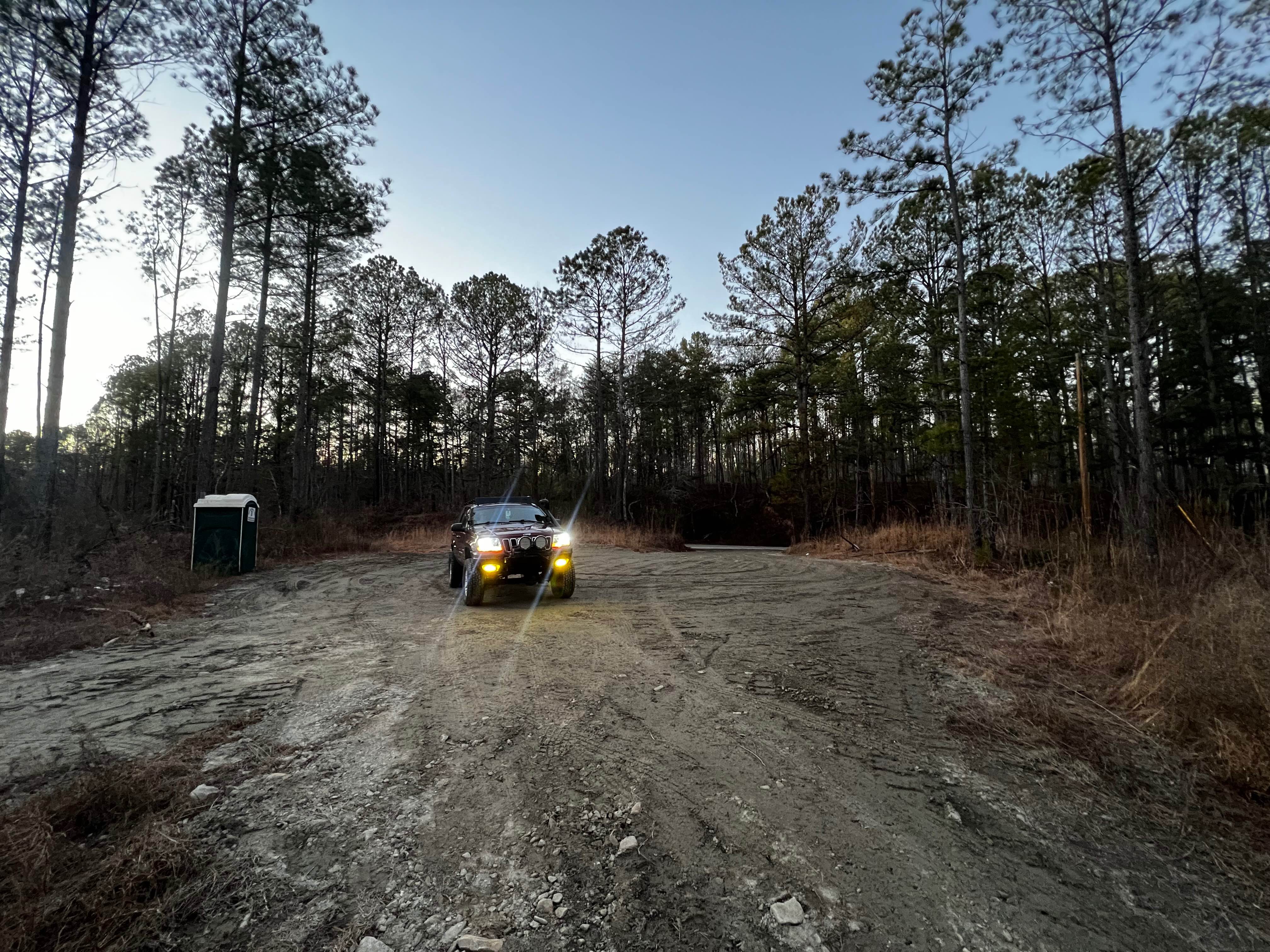
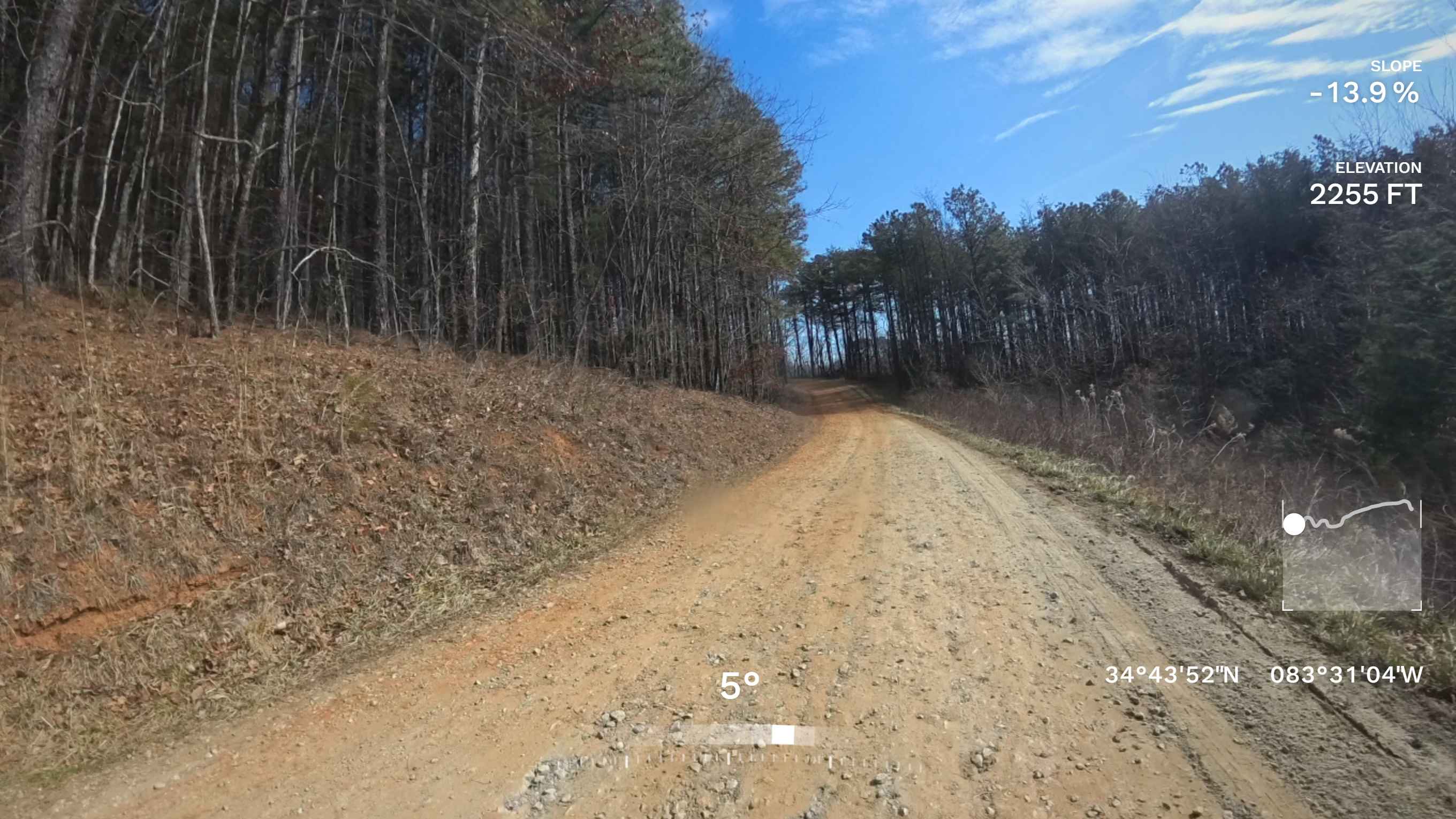
Trail Overview
This trail extends partly through the Oconee National Forest and showcases the characteristic terrain of the area--predominantly gravel with scattered water and mud holes that may vary in size depending on recent weather conditions. Portions of the route traverse private property, making it essential for visitors to remain on the designated roadway at all times. The drive is generally smooth and accessible for most skill levels, offering a relaxed experience for drivers. Along the way, travelers are treated to scenic vistas of rolling hills, working farms, and forested landscapes. For safety and compliance, access to this trail is limited to licensed, street-legal vehicles only.
Photos of Monroe Tyler Road

Difficulty
This is a very easy, mostly two-lane gravel trail with occasional small water or mud holes, most of which can be avoided. This road can be traveled by most all licensed vehicles with no issues.
Status Reports
Monroe Tyler Road can be accessed by the following ride types:
- High-Clearance 4x4
- SUV
Monroe Tyler Road Map
Popular Trails
Tuckaluge Creek Road/153

Etowah River Access
Vandiver Mountain Road - FS 418
The onX Offroad Difference
onX Offroad combines trail photos, descriptions, difficulty ratings, width restrictions, seasonality, and more in a user-friendly interface. Available on all devices, with offline access and full compatibility with CarPlay and Android Auto. Discover what you’re missing today!