Vandiver Mountain Road - FS 418
Total Miles
1.1
Technical Rating
Best Time
Spring, Fall, Summer, Winter
Trail Type
Full-Width Road
Accessible By
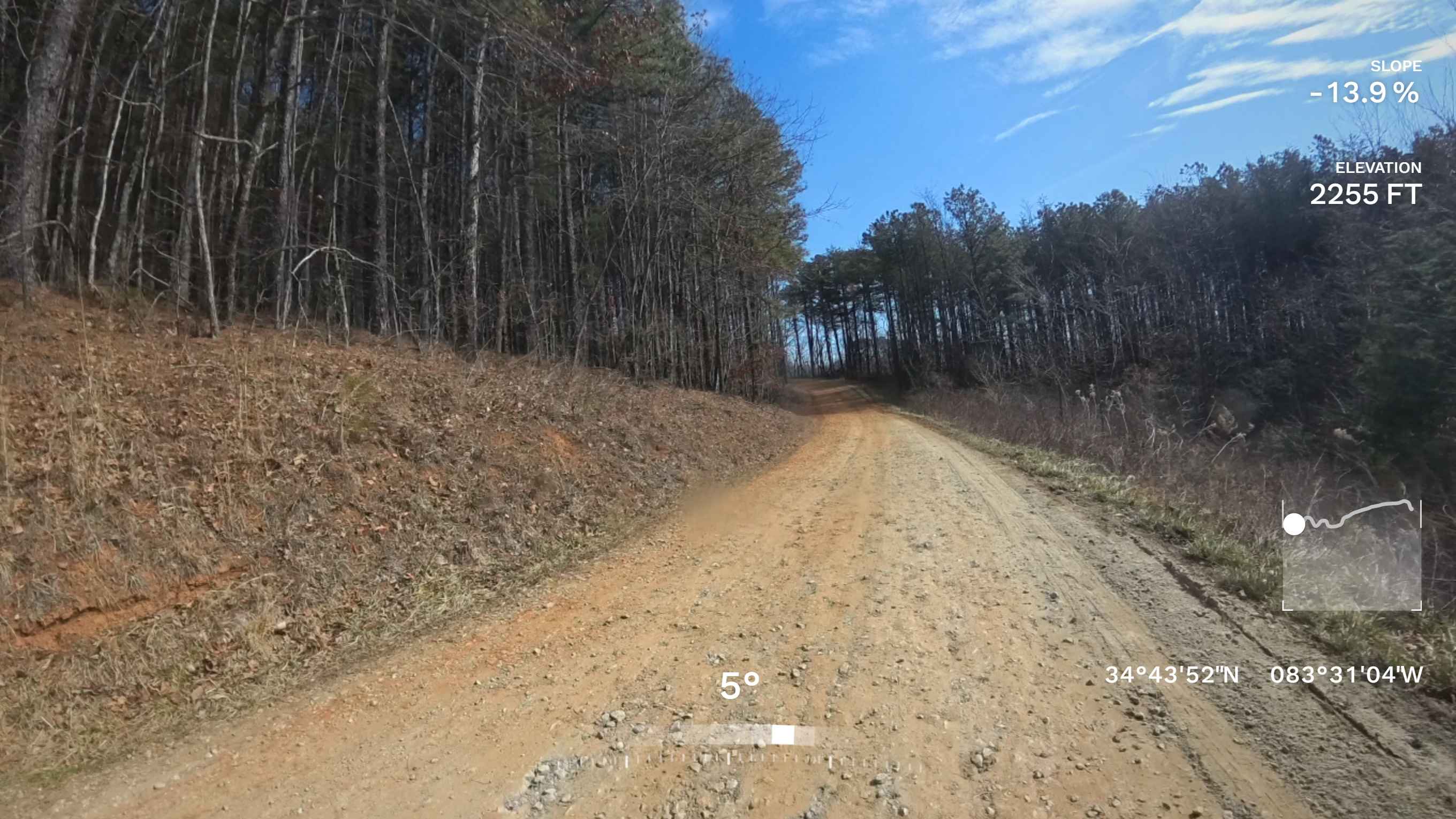
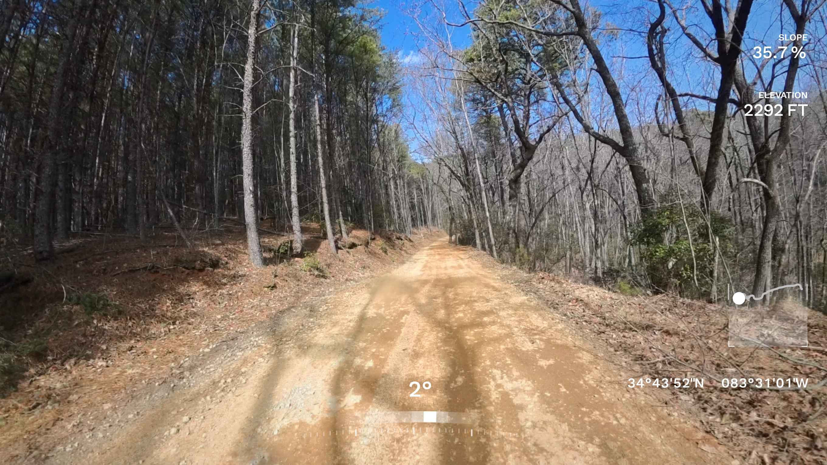
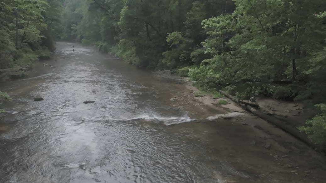
Trail Overview
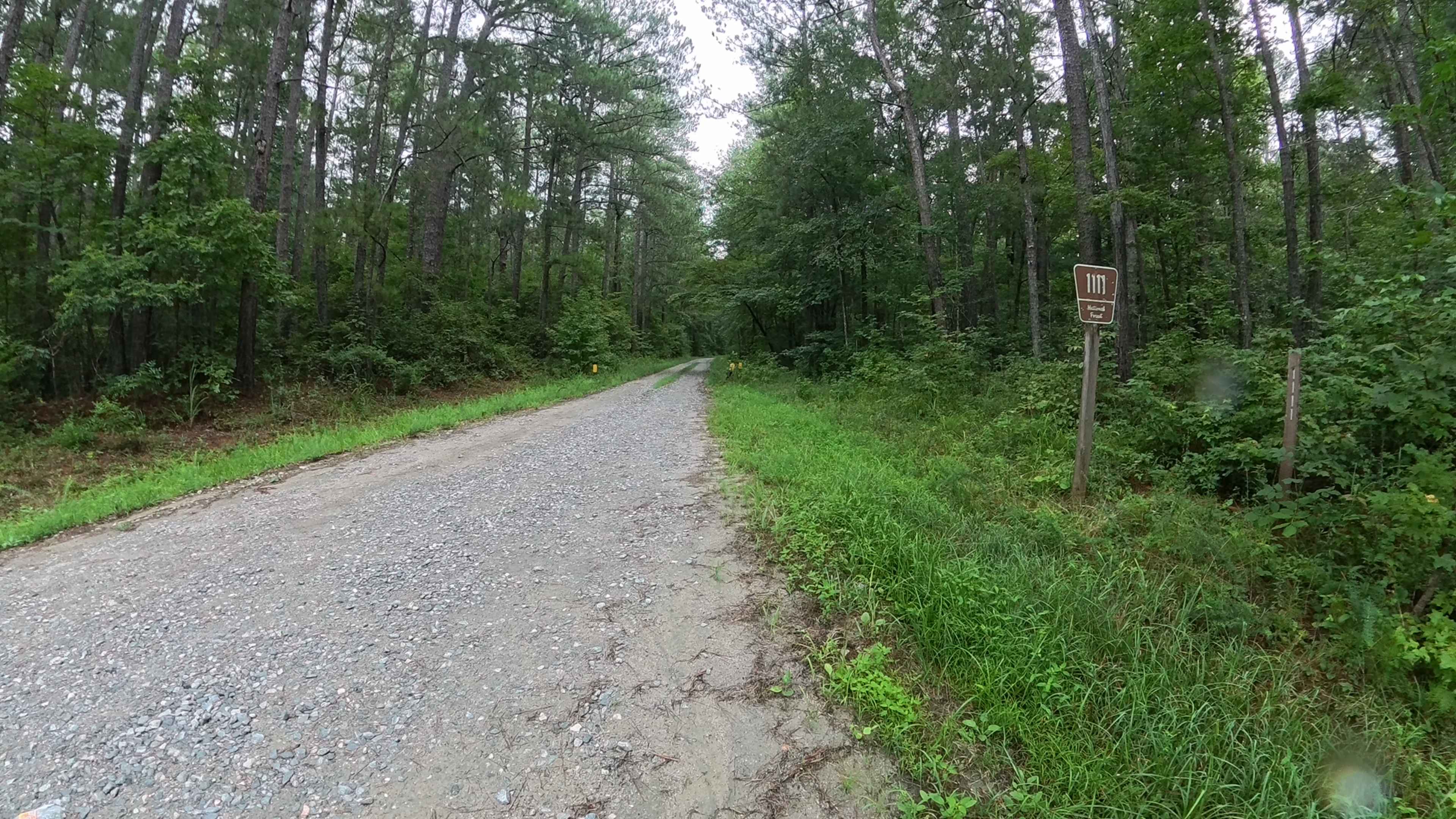
This out-and-back trail begins off Lower Gap Road and extends to the edge of private property. It's a very easy two-lane gravel/dirt road that is well-maintained and smoothly graded, making it accessible for most passenger vehicles without difficulty. The surface is typically in great condition, and driving is straightforward with no major obstacles. At the end, there is a gate marking the boundary along with a convenient turnaround area for vehicles. Cell service in this area is generally reliable, making navigation and communication easy while visiting.
Photos of Vandiver Mountain Road - FS 418
Difficulty
This is a very easy, well-maintained gravel and dirt road that all vehicles will be able to traverse.
Status Reports
Vandiver Mountain Road - FS 418 can be accessed by the following ride types:
- High-Clearance 4x4
- SUV
Vandiver Mountain Road - FS 418 Map
Popular Trails
Greenwood Church Road
Old Spring Box Loop
Harmon Rye - FS 1111
The onX Offroad Difference
onX Offroad combines trail photos, descriptions, difficulty ratings, width restrictions, seasonality, and more in a user-friendly interface. Available on all devices, with offline access and full compatibility with CarPlay and Android Auto. Discover what you’re missing today!