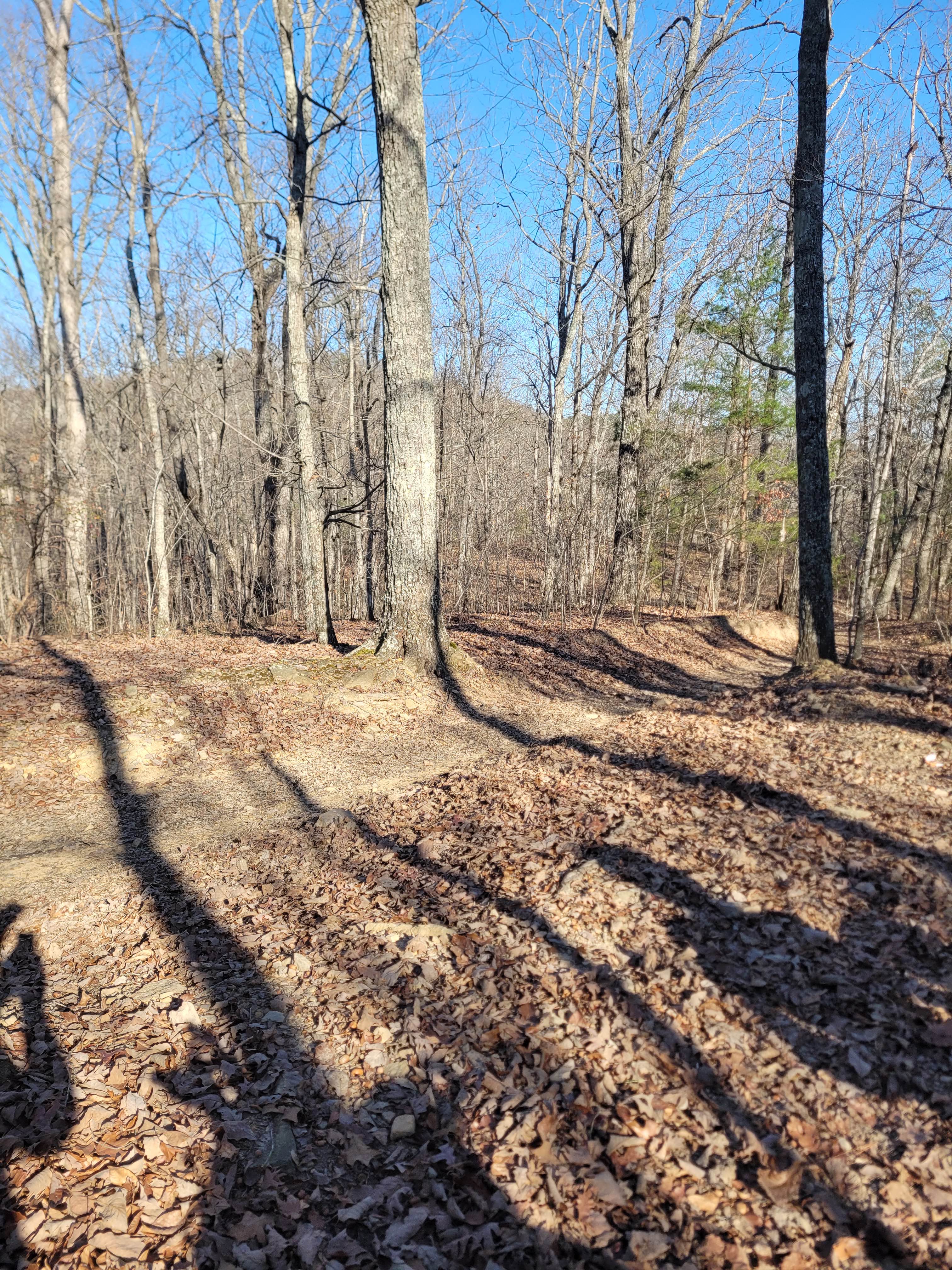
Off-Road Trails in Georgia
Discover off-road trails in Georgia
Learn more about Ridge Top Trail C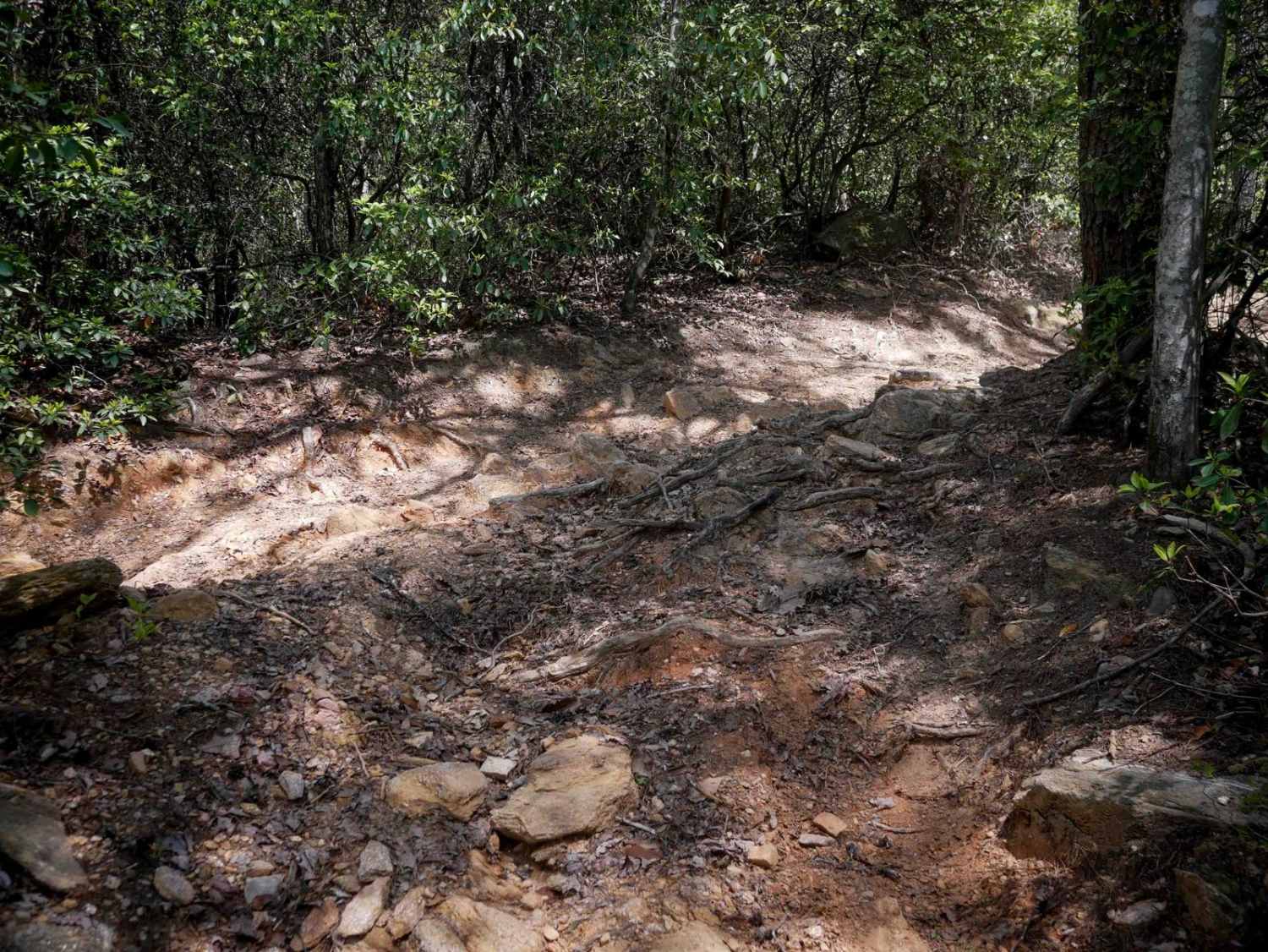
Ridge Top Trail C
Total Miles
0.5
Tech Rating
Moderate
Best Time
Spring, Fall, Summer
Learn more about River Road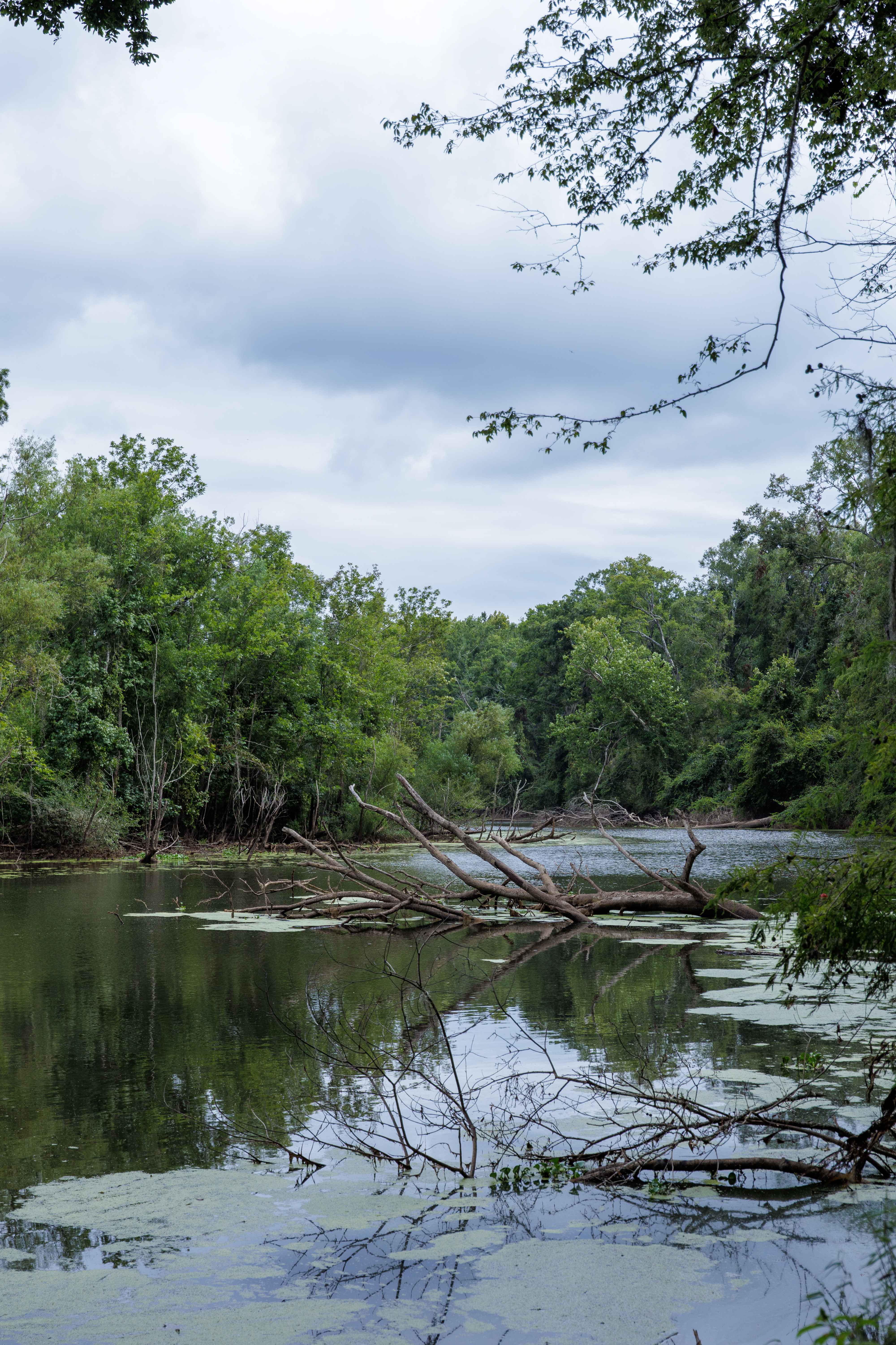
River Road
Total Miles
5.3
Tech Rating
Easy
Best Time
Spring, Summer, Fall, Winter
Learn more about Rock Creek Road - FS 69
Rock Creek Road - FS 69
Total Miles
7.7
Tech Rating
Easy
Best Time
Spring, Summer, Fall
Learn more about Rock House Falls Road - FS 1108
Rock House Falls Road - FS 1108
Total Miles
1.9
Tech Rating
Easy
Best Time
Spring, Summer, Fall, Winter
Learn more about Rock Mountain Road
Rock Mountain Road
Total Miles
2.5
Tech Rating
Easy
Best Time
Spring, Summer, Fall, Winter
Learn more about Rocky Flats - FS 630D
Rocky Flats - FS 630D
Total Miles
3.0
Tech Rating
Easy
Best Time
Spring, Summer, Fall
Learn more about Rocky Mountain Road
Rocky Mountain Road
Total Miles
3.7
Tech Rating
Easy
Best Time
Summer, Fall, Spring, Winter
Learn more about Rump Road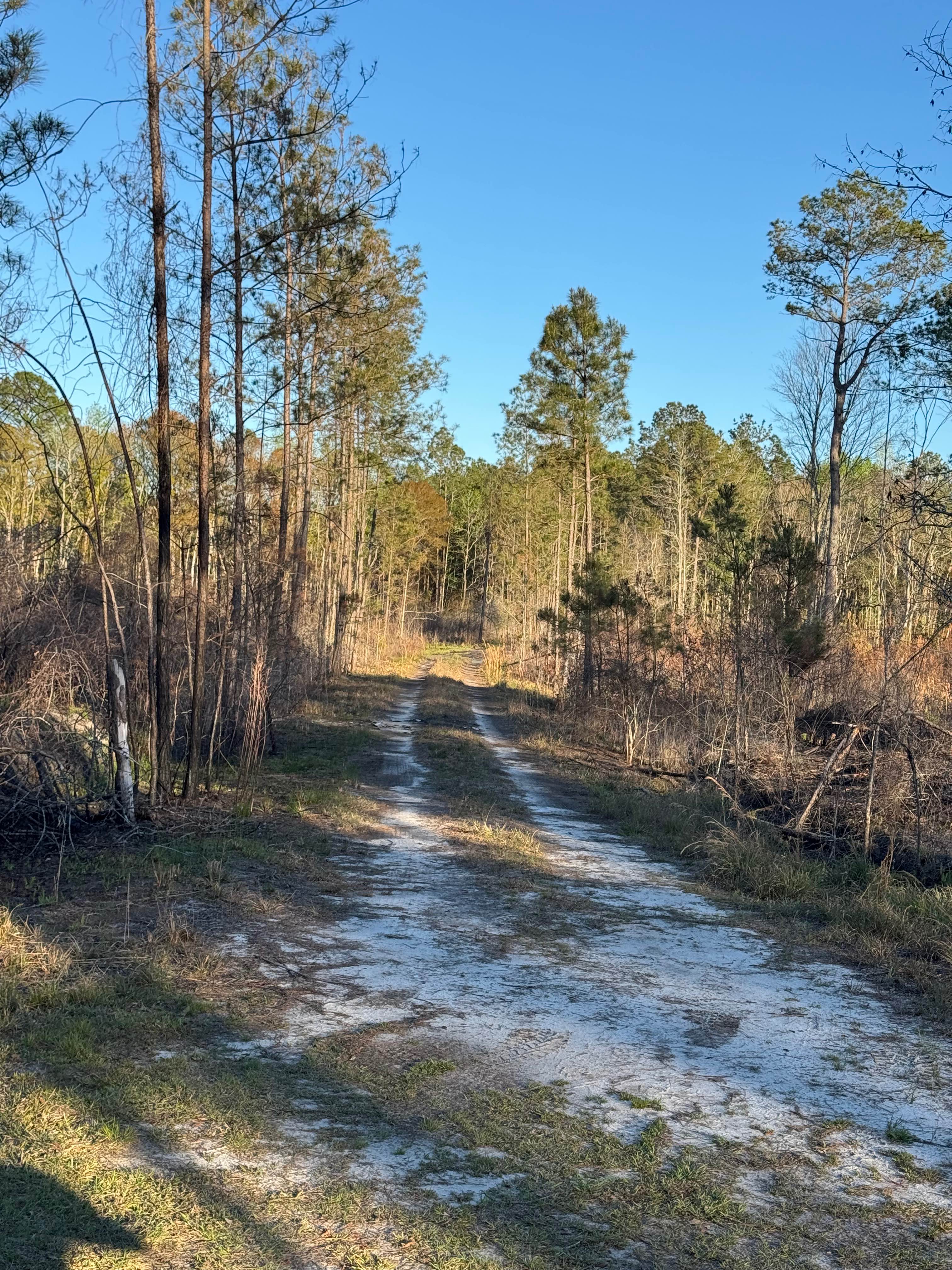
Rump Road
Total Miles
3.1
Tech Rating
Easy
Best Time
Spring, Summer, Fall, Winter
Learn more about Saddler's Path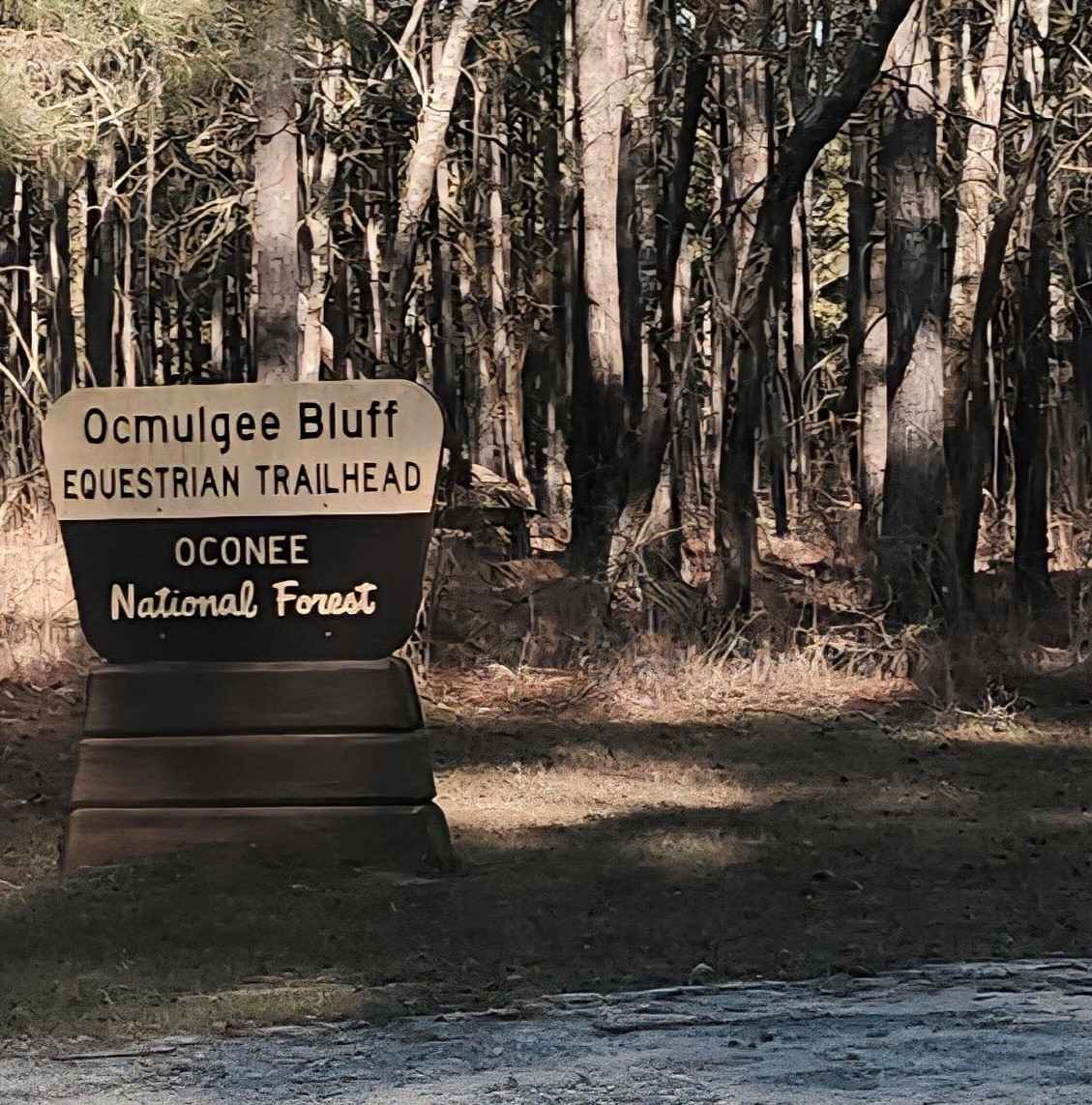
Saddler's Path
Total Miles
4.0
Tech Rating
Easy
Best Time
Spring, Summer, Fall, Winter
Learn more about Sally Free Trail J 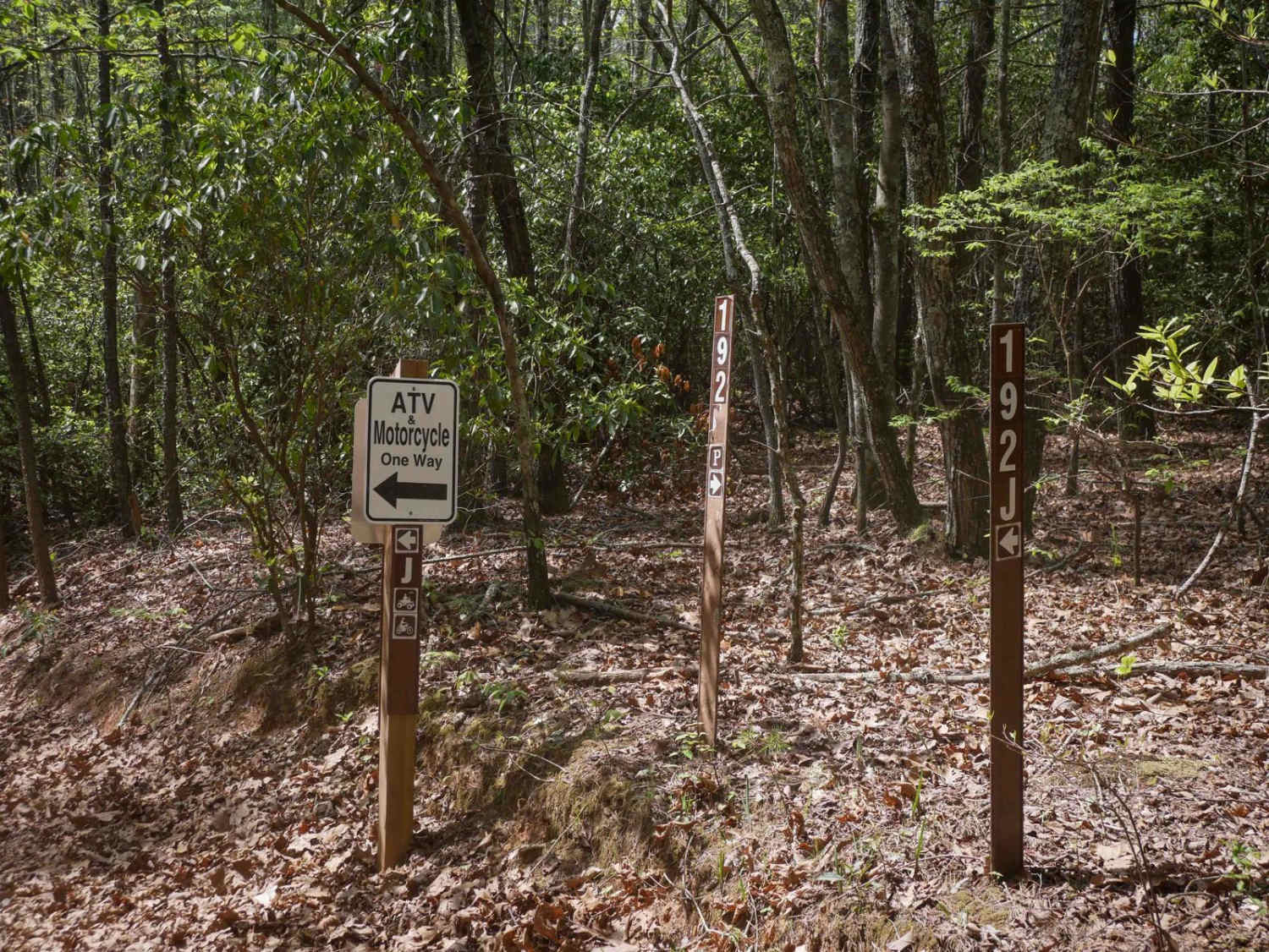
Sally Free Trail J
Total Miles
2.0
Tech Rating
Easy
Best Time
Spring, Fall, Summer
Learn more about Sandy Ford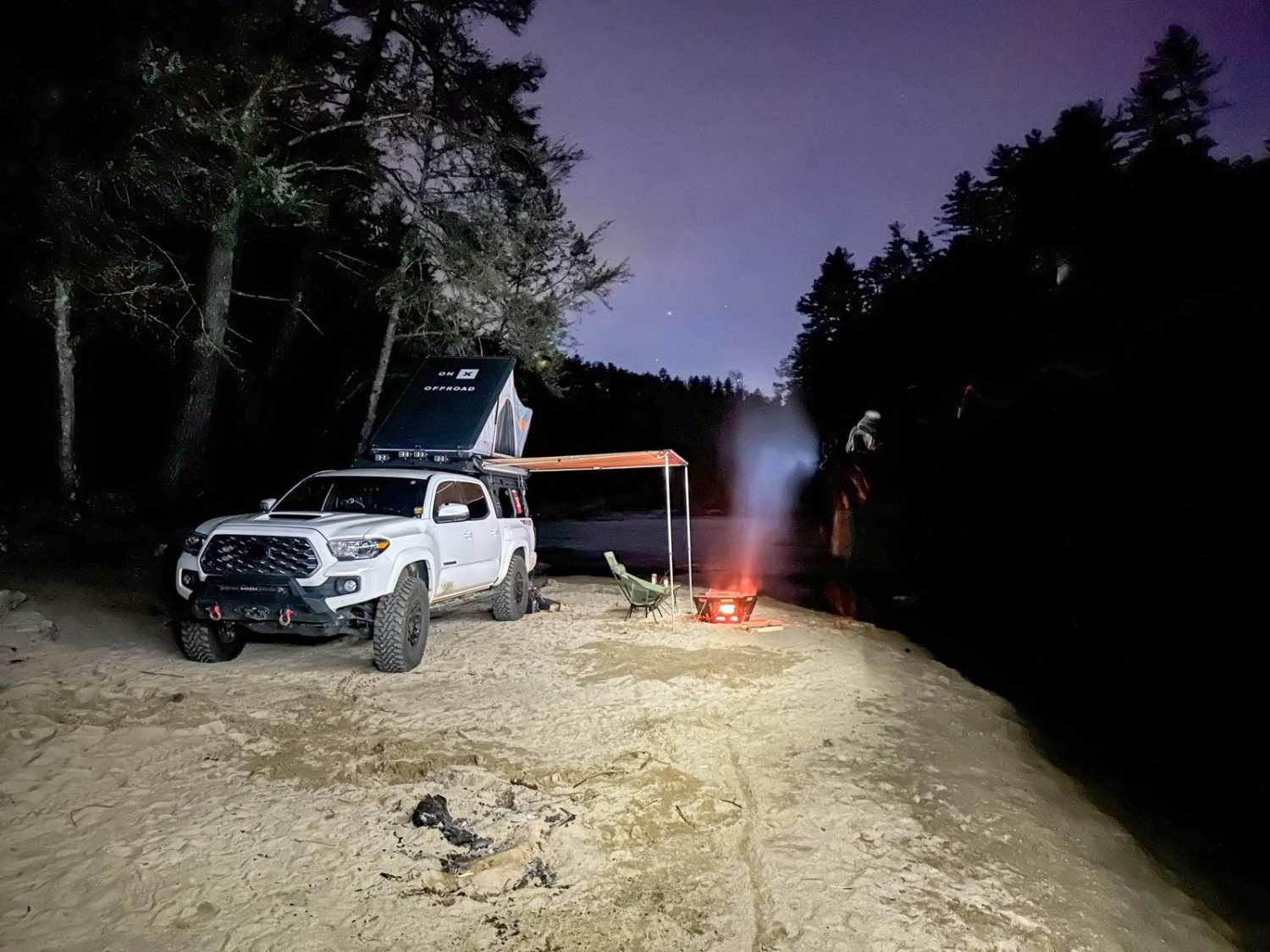
Sandy Ford
Total Miles
4.5
Tech Rating
Easy
Best Time
Spring, Summer, Fall, Winter
Learn more about Sansavilla Road
Sansavilla Road
Total Miles
4.7
Tech Rating
Easy
Best Time
Spring, Summer, Fall, Winter
Learn more about Sarah's Creek 
Sarah's Creek
Total Miles
4.6
Tech Rating
Moderate
Best Time
Spring, Summer, Fall, Winter
Learn more about Satilla WMA Tour
Satilla WMA Tour
Total Miles
17.7
Tech Rating
Easy
Best Time
Spring, Summer
Learn more about Savannah River Access
Savannah River Access
Total Miles
0.6
Tech Rating
Easy
Best Time
Spring, Fall, Summer, Winter
Learn more about Sawgrass Road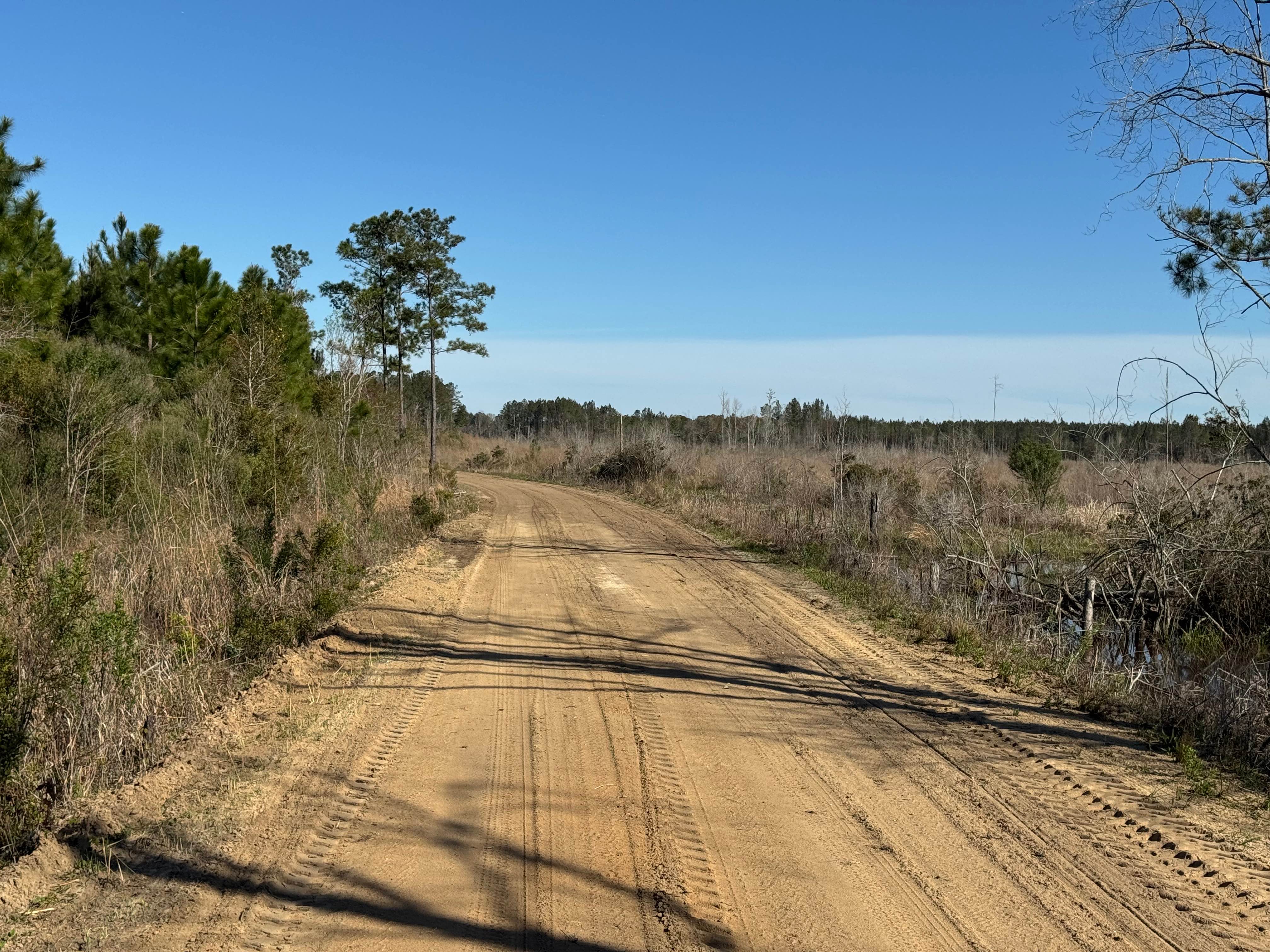
Sawgrass Road
Total Miles
1.2
Tech Rating
Easy
Best Time
Spring, Summer, Fall, Winter
Learn more about Scenic Juliette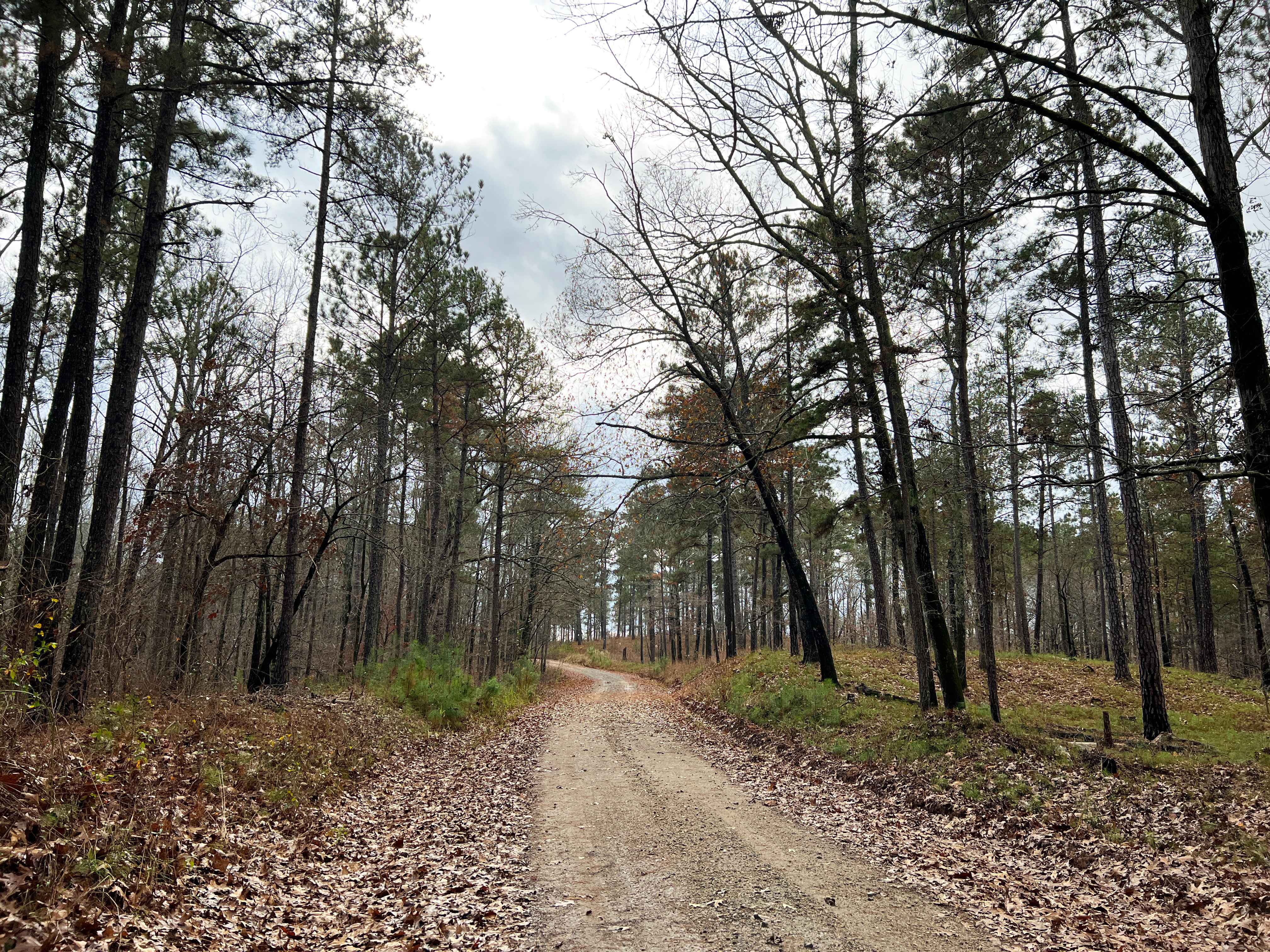
Scenic Juliette
Total Miles
6.9
Tech Rating
Easy
Best Time
Spring, Summer, Fall, Winter
Learn more about Sea Creek - FS 264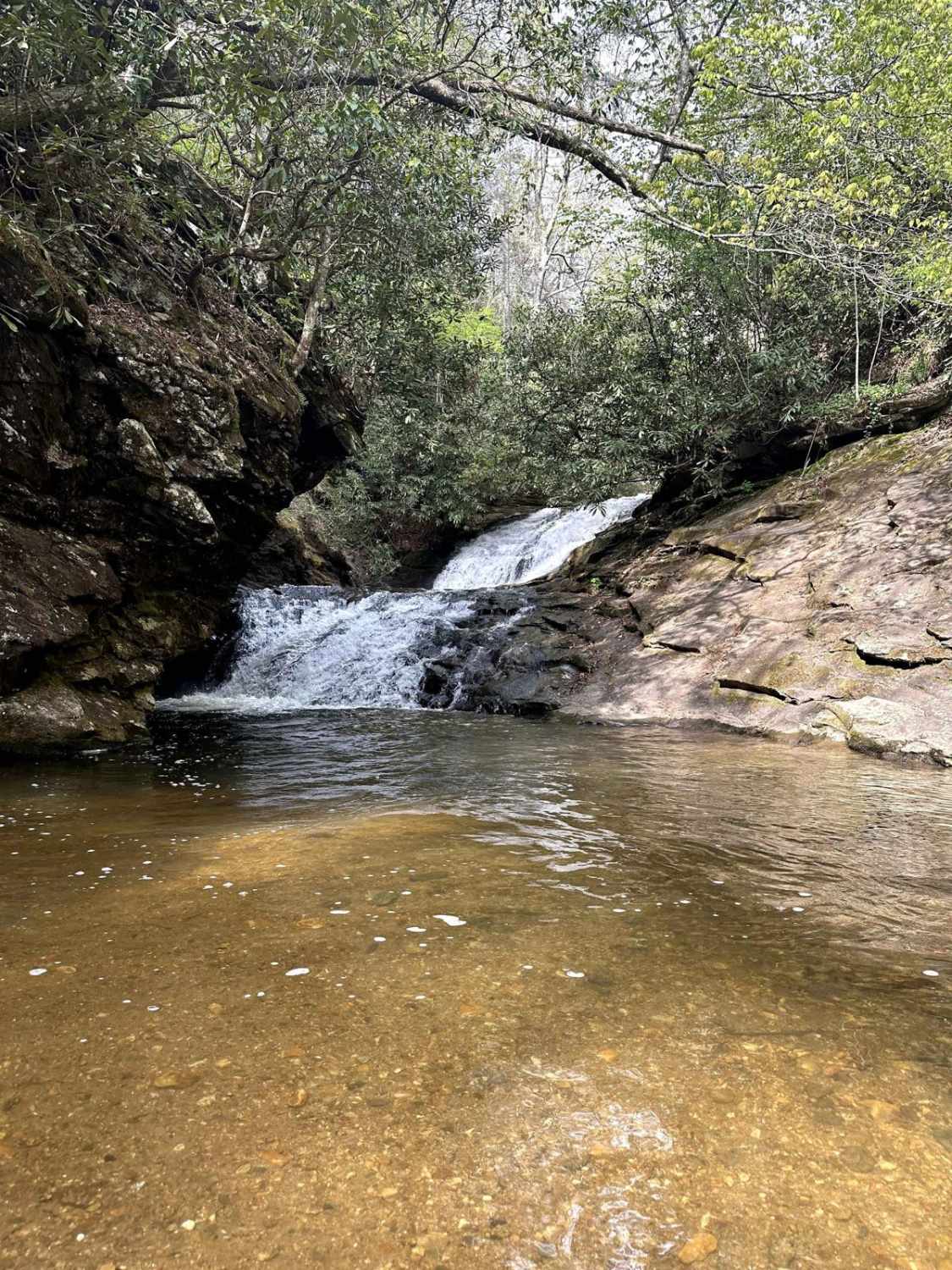
Sea Creek - FS 264
Total Miles
3.9
Tech Rating
Easy
Best Time
Spring, Summer, Fall, Winter
Learn more about Seven Bridge Road
Seven Bridge Road
Total Miles
5.5
Tech Rating
Moderate
Best Time
Winter, Fall, Spring
ATV trails in Georgia


Learn more about 181-B-O connector Unlabeled
181-B-O connector Unlabeled
Total Miles
0.0
Tech Rating
Easy
Best Time
Spring, Summer, Fall
UTV/side-by-side trails in Georgia
Learn more about 3 - Peeples Lake
3 - Peeples Lake
Total Miles
3.5
Tech Rating
Easy
Best Time
Spring, Summer, Fall
Learn more about 5 Points Lake North Access
5 Points Lake North Access
Total Miles
0.9
Tech Rating
Easy
Best Time
Spring, Summer, Fall, Winter
Learn more about 631- Tatum Lead
631- Tatum Lead
Total Miles
7.4
Tech Rating
Easy
Best Time
Spring, Summer, Fall
Learn more about Alexander Hollow Trail
Alexander Hollow Trail
Total Miles
1.5
Tech Rating
Easy
Best Time
Spring, Summer, Fall, Winter
The onX Offroad Difference
onX Offroad combines trail photos, descriptions, difficulty ratings, width restrictions, seasonality, and more in a user-friendly interface. Available on all devices, with offline access and full compatibility with CarPlay and Android Auto. Discover what you’re missing today!