Seven Bridge Road
Total Miles
5.5
Technical Rating
Best Time
Winter, Fall, Spring
Trail Type
Full-Width Road
Accessible By
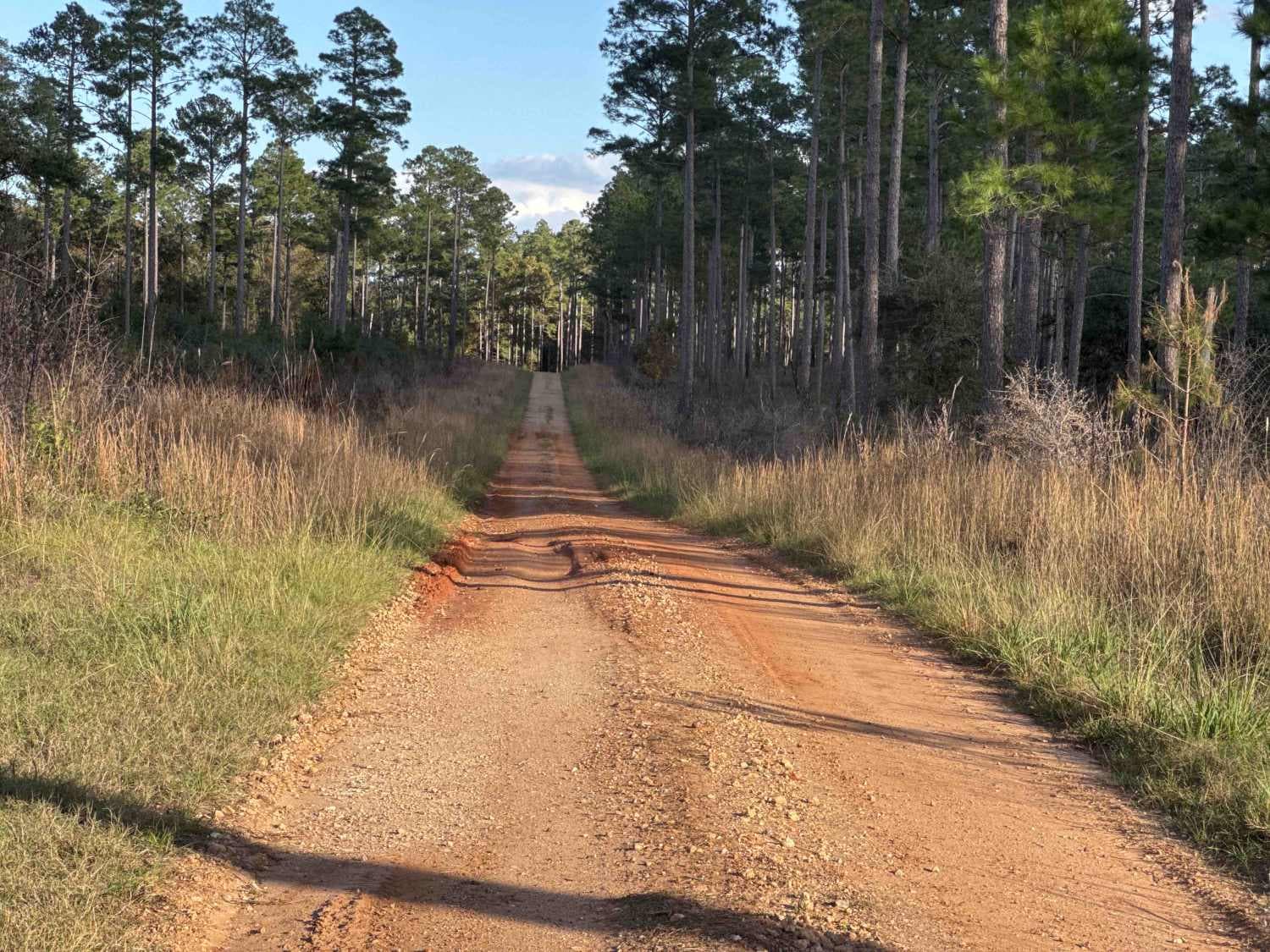
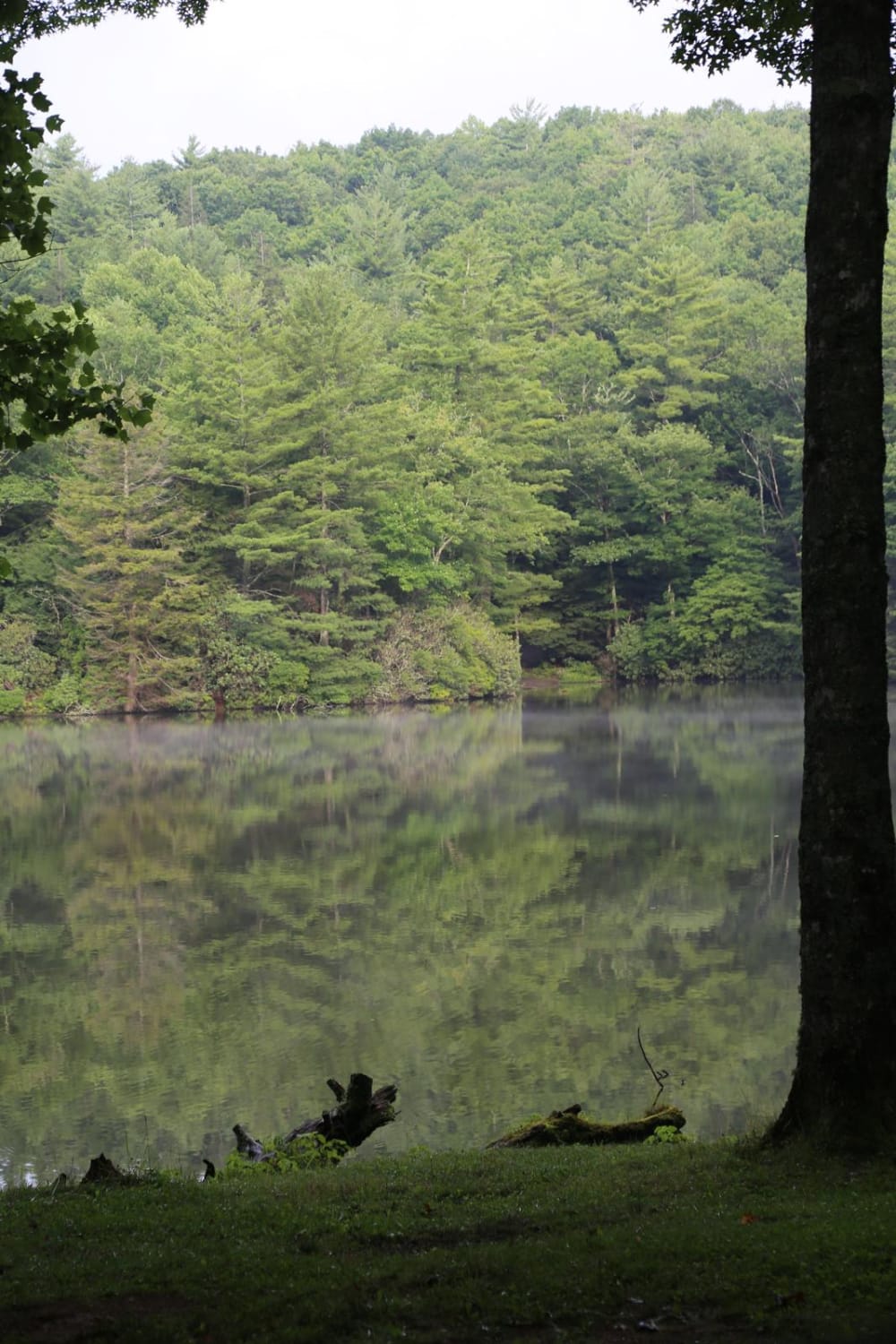
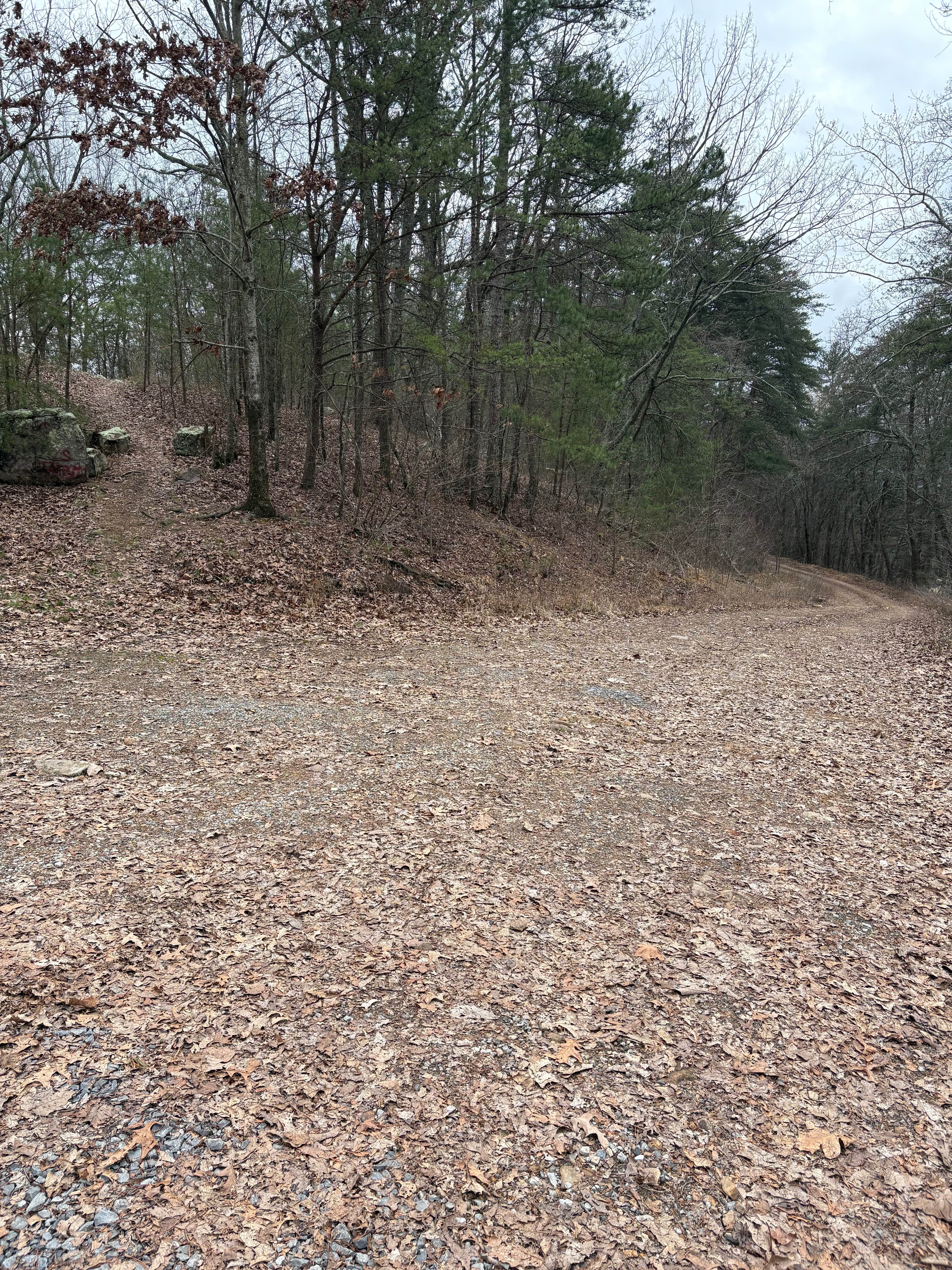
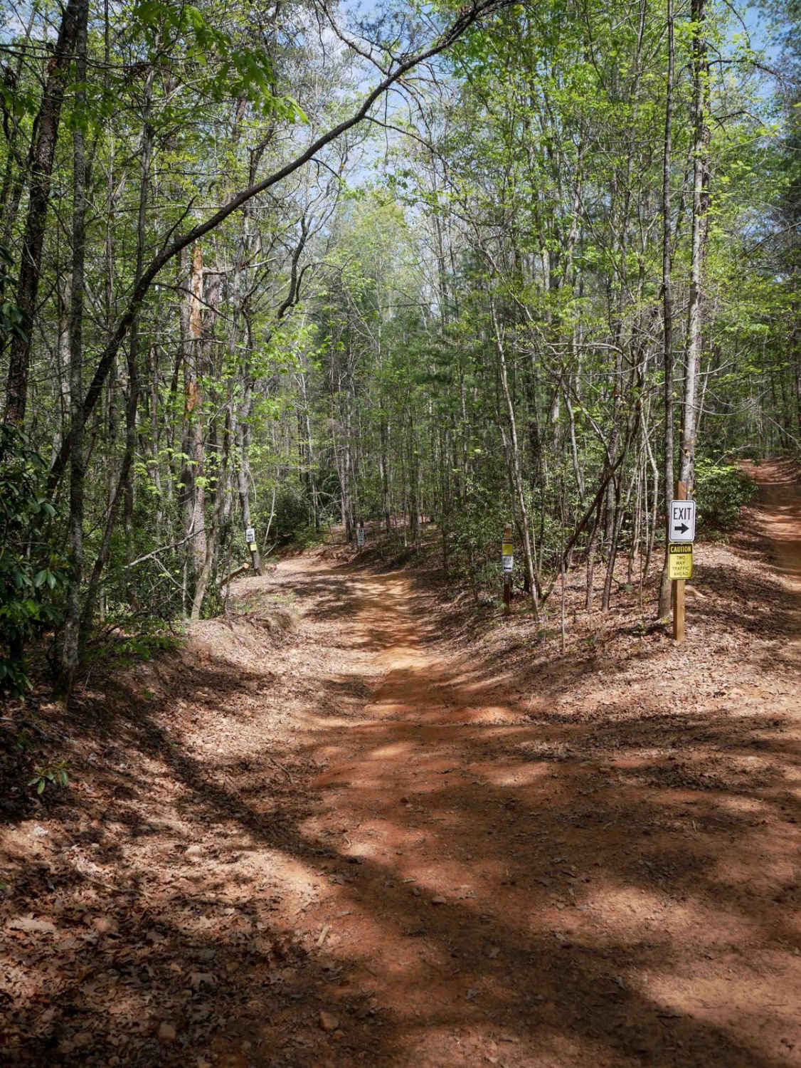
Trail Overview
The Seven Bridge Road connects the Chickasawhatchee Road at the west end and the Mud Creek Road at the east end. The trail takes you through the Chickasawhatchee Wildlife Management Area and crosses the waterways several times. The road conditions are a mixture of packed sand, loose sand, and some deep holes that can turn into 2 feet deep mud holes after rainy days. Some parts stay flooded during wet season. The road is not always wide enough for two vehicles to pass, especially when you're passing one of the even bridges. 4WD and high clearance are highly recommended. All vehicles must be street-legal. Chickasawhatchee Wildlife Management Area is located 12 miles southwest of Albany, Georgia. The 19,700-acre WMA includes the Mike Commander Shooting Range, a managed dove field and campsites for tents and RVs. The property is a managed pine savannah that supports varied hunting opportunities, including for deer, turkey, dove, quail, small game, waterfowl, and furbearers. Bird watchers will also find a number of different species at Chickasawhatchee. A permit is required to enter. You can purchase these at www.GoOutdoorsGeorgia.com.
Photos of Seven Bridge Road

Difficulty
This road can be very tricky when flooded! Use caution if driving after recent rains.
Seven Bridge Road can be accessed by the following ride types:
- High-Clearance 4x4
- SUV
- SxS (60")
- ATV (50")
- Dirt Bike
Seven Bridge Road Map
Popular Trails
Georgia Traverse
Hightower Loop Connector Trail D
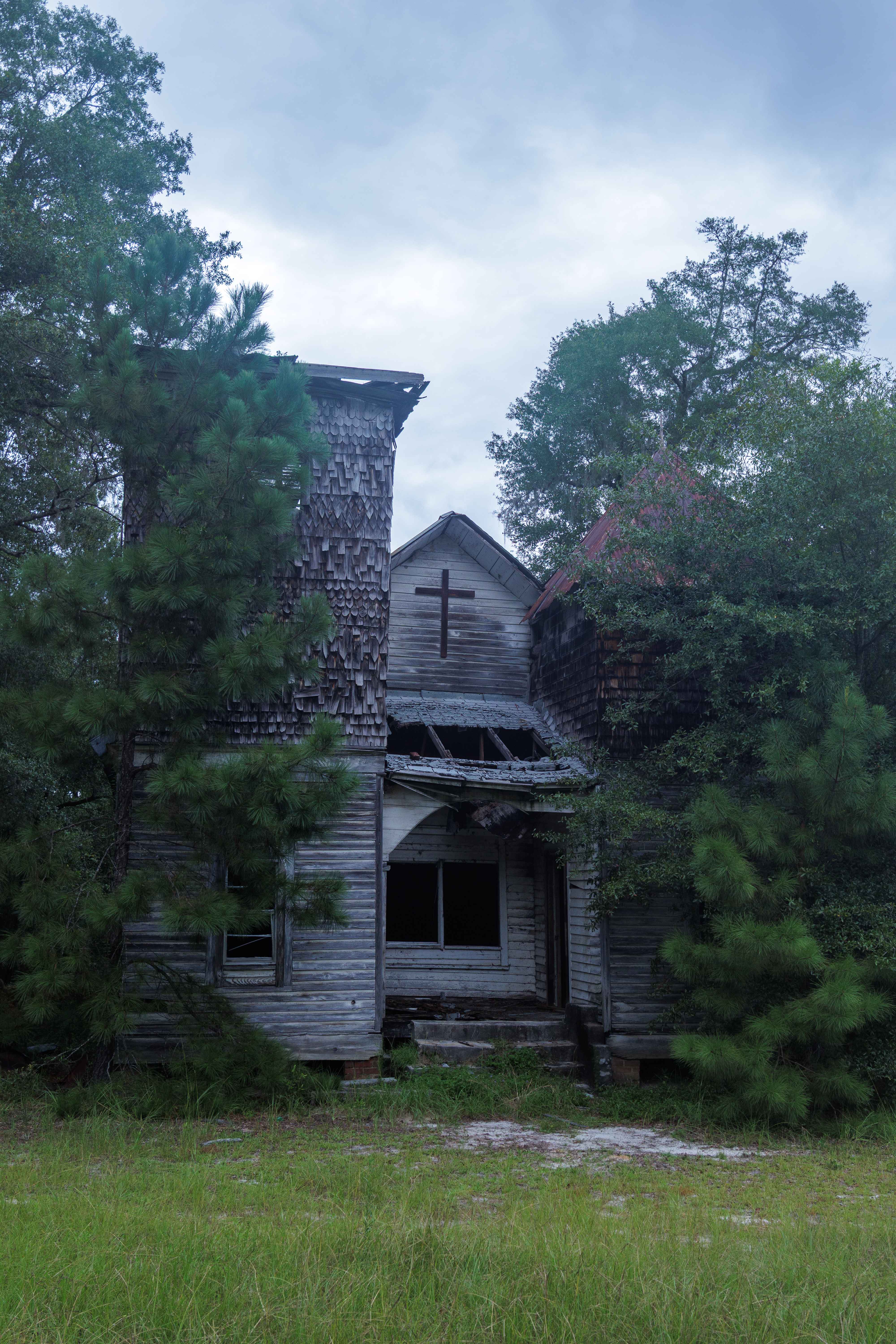
Oak Grove Methodist Church
The onX Offroad Difference
onX Offroad combines trail photos, descriptions, difficulty ratings, width restrictions, seasonality, and more in a user-friendly interface. Available on all devices, with offline access and full compatibility with CarPlay and Android Auto. Discover what you’re missing today!