Rocky Mountain Road
Total Miles
3.7
Technical Rating
Best Time
Summer, Fall, Spring, Winter
Trail Type
Full-Width Road
Accessible By
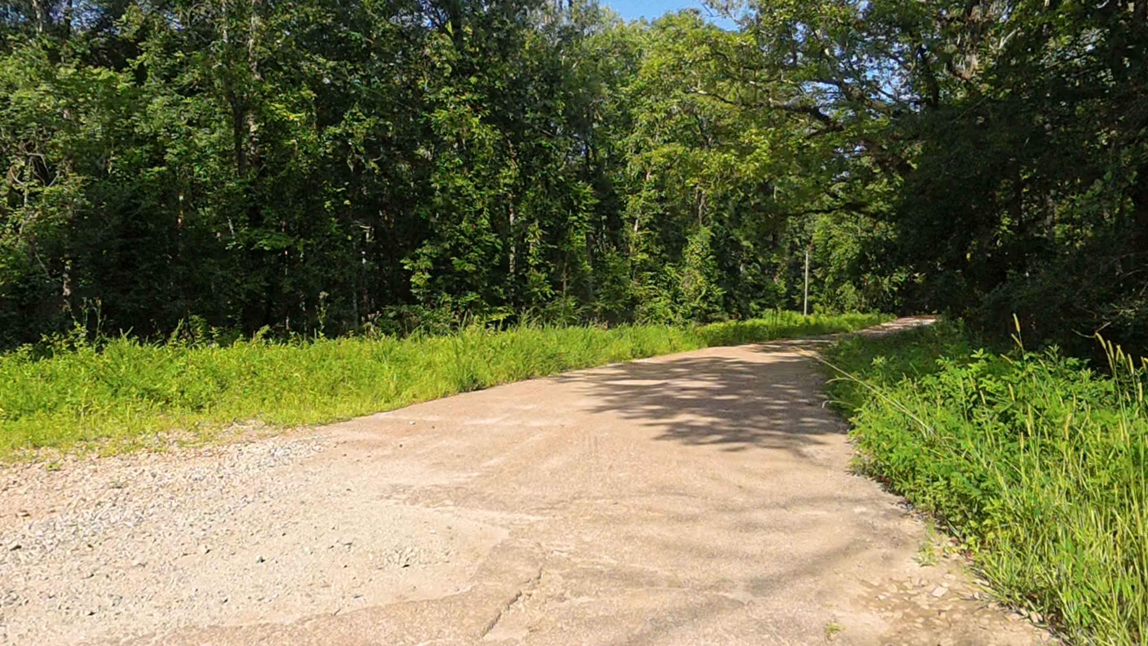
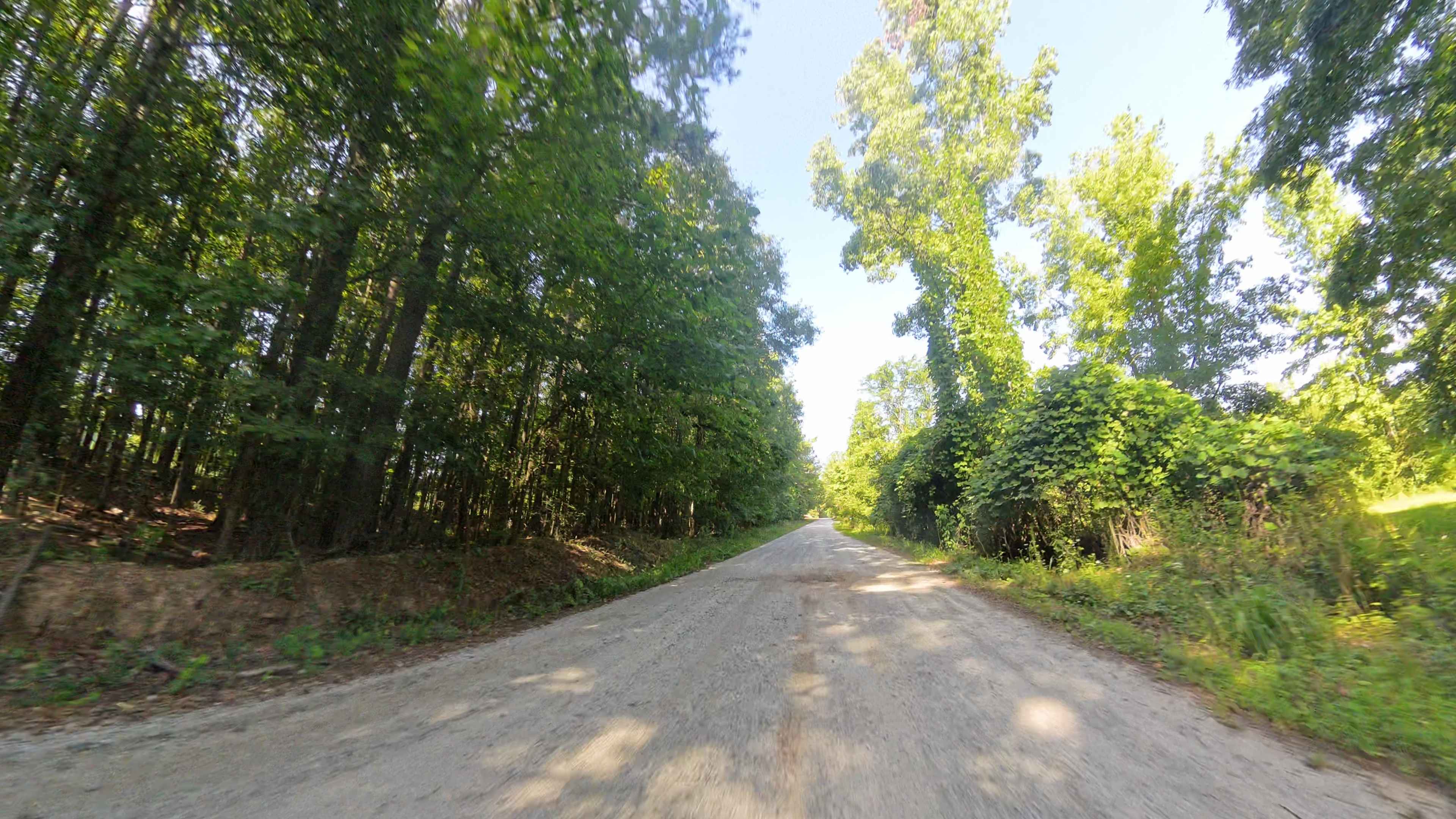
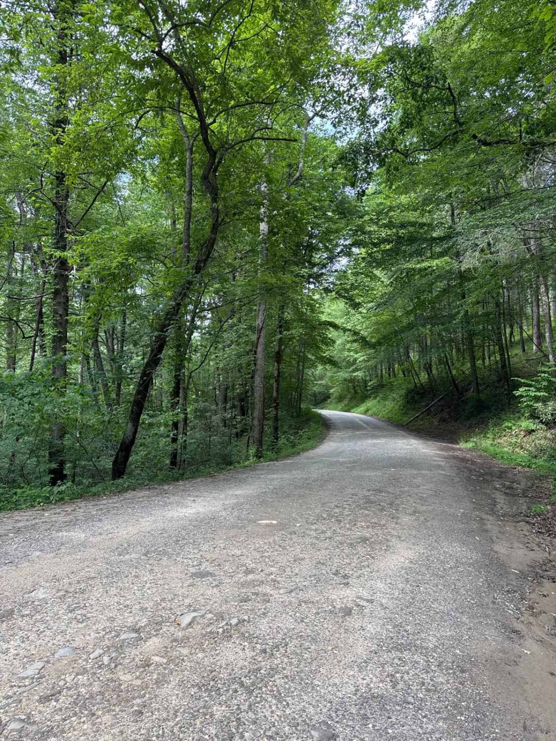
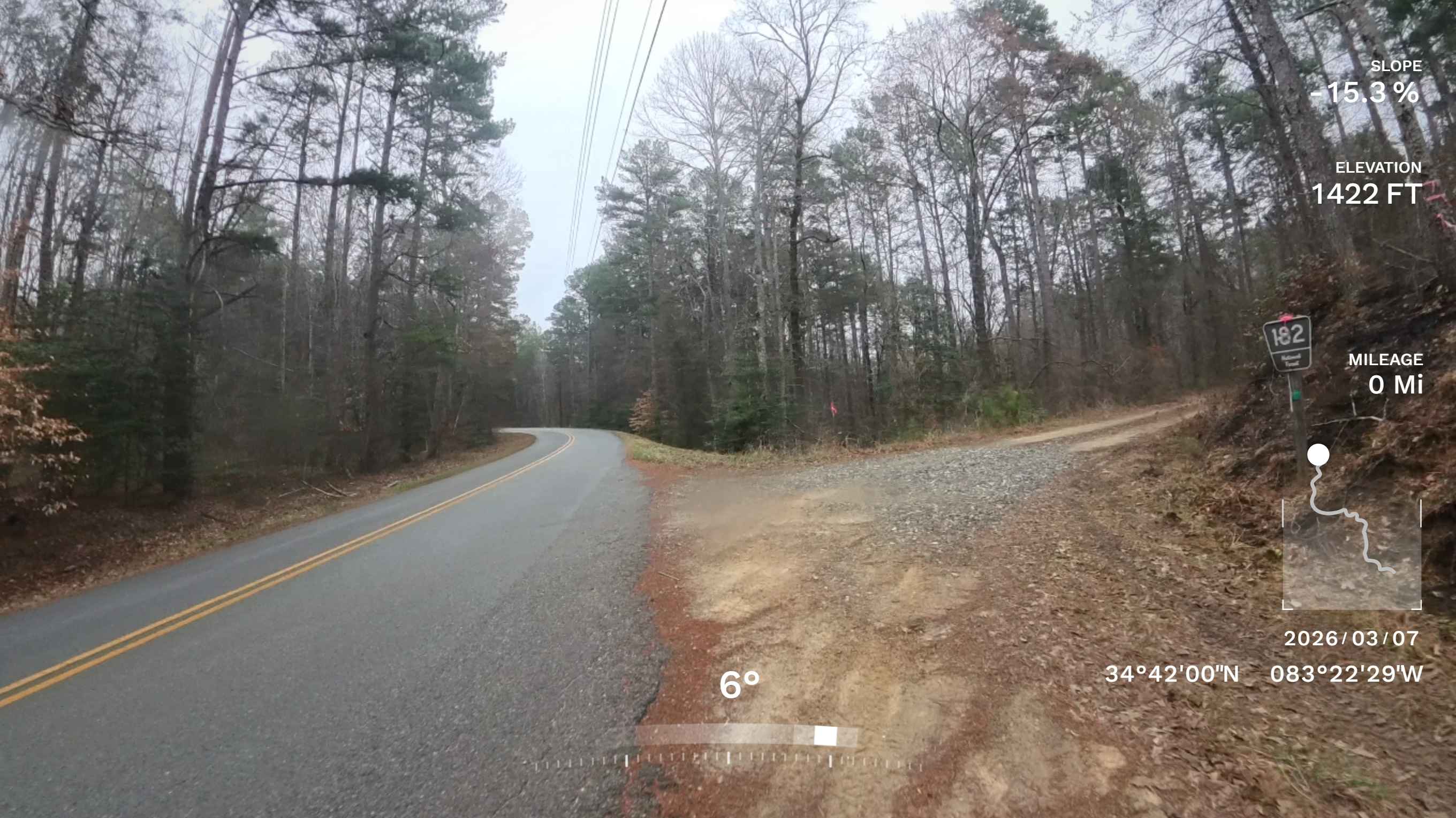
Trail Overview
This county-maintained road is primarily gravel with some dirt sections, especially where washouts have occurred. It features two small concrete bridges crossing creeks, one of which may flood during heavy rainfall and potentially overtake the road. Despite these spots, the road is generally smooth and accessible for most vehicles, making it an easy and scenic route that fits well into a relaxed day drive through the area's back roads. As a public county road, it is open only to licensed vehicles. However, please remember that all land on either side is private property--stay on the road and respect any posted signs or boundaries. Cell service is generally fair but may drop in some areas due to the rural setting. About 0.2 miles in from the east end of the road, you'll find White Oak Grove Cemetery, a newer burial ground that also includes a few older headstones worth seeing.
Photos of Rocky Mountain Road
Difficulty
This county-maintained road is suitable for nearly any vehicle, offering a generally smooth ride with gravel and some dirt sections. However, after heavy rainfall, you may encounter minor washouts and rutting in certain areas. The main concern is the potential for high water near the bridge, which can occur after substantial rain. While most vehicles should be able to navigate the road without issue, caution is advised during or shortly after storms.
Status Reports
Rocky Mountain Road can be accessed by the following ride types:
- High-Clearance 4x4
- SUV
Rocky Mountain Road Map
Popular Trails
Sarah's Creek
Rock Creek Road - FS 69
The onX Offroad Difference
onX Offroad combines trail photos, descriptions, difficulty ratings, width restrictions, seasonality, and more in a user-friendly interface. Available on all devices, with offline access and full compatibility with CarPlay and Android Auto. Discover what you’re missing today!