Savannah River Access
Total Miles
0.6
Technical Rating
Best Time
Spring, Fall, Summer, Winter
Trail Type
Full-Width Road
Accessible By
Trail Overview
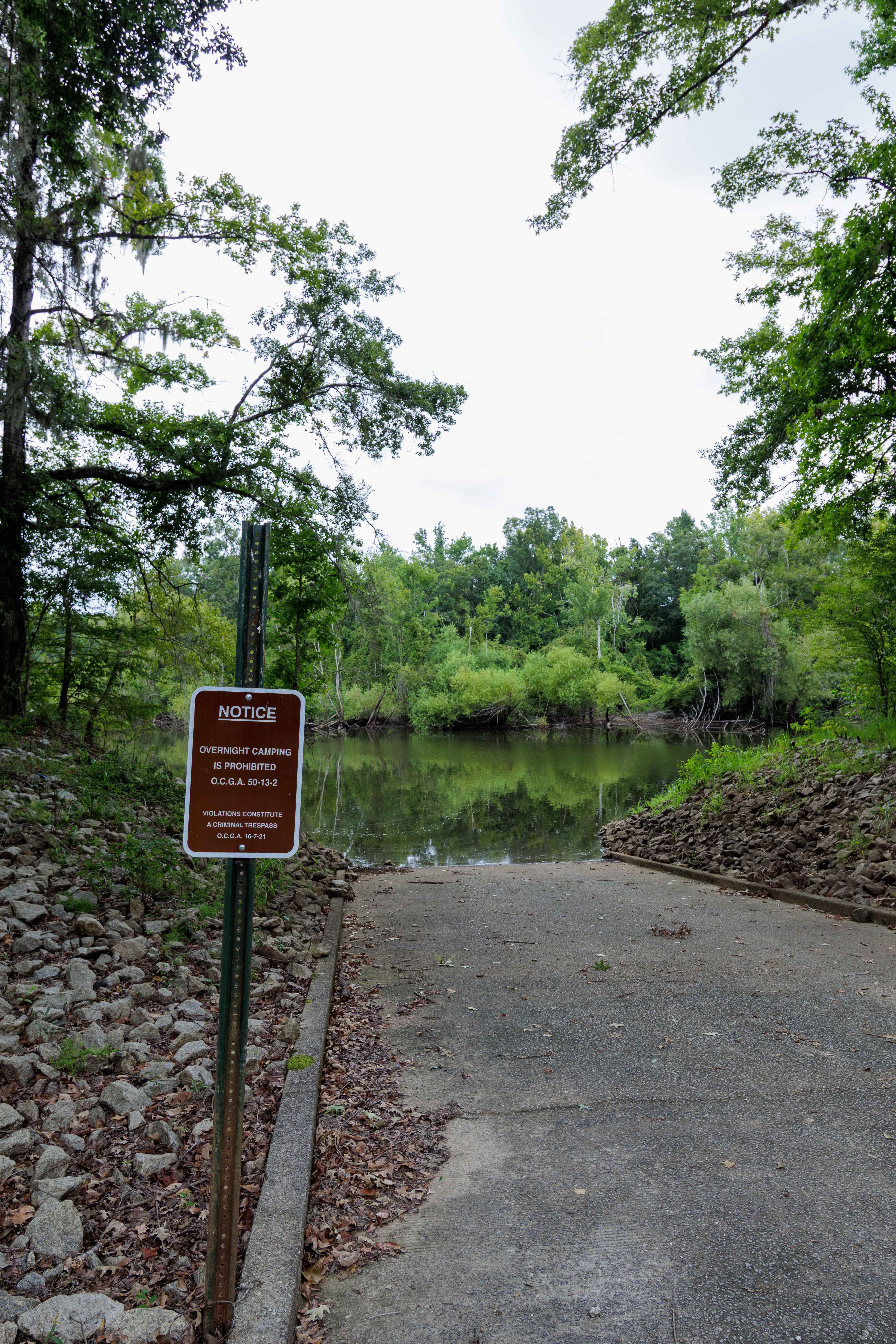
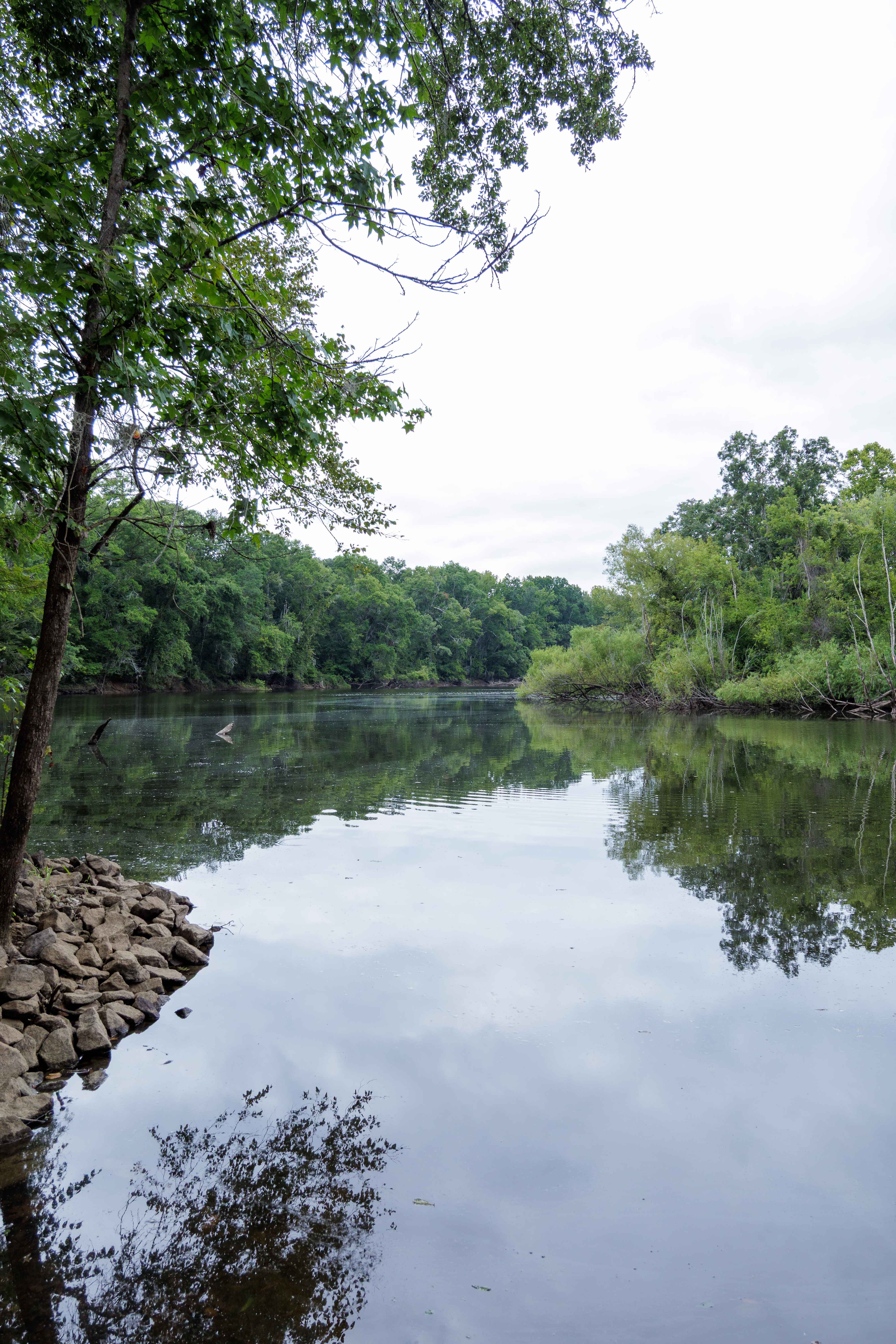
This route is entirely within the Tuckahoe Wildlife Management Area, a 15,000-acre property bordering the Savannah River. A fishing and/or hunting license is required to legally enter the property and can be obtained via georgiawildlife.com/tuckahoe-wma. Camping is only permitted in one of the two designated camping areas within the property. This route spurs from River Road Route and concludes at the Savannah River; the route travels through the swamp, which is susceptible to periodic flooding, so use best judgment before crossing. There is a large parking area with a paved ramp to access the Savannah River; there is no boat dock at this access.
Photos of Savannah River Access
Difficulty
This route is well maintained by the Georgia DNR and is mostly a medium gravel road. Some clearance is necessary due to the larger-sized nature of the gravel used in certain spots that flood often, about softball-sized. The route is through the swamp and can become periodically flooded, changing the access and difficulty.
Status Reports
Savannah River Access can be accessed by the following ride types:
- High-Clearance 4x4
- SUV
- SxS (60")
- ATV (50")
- Dirt Bike
Savannah River Access Map
Popular Trails
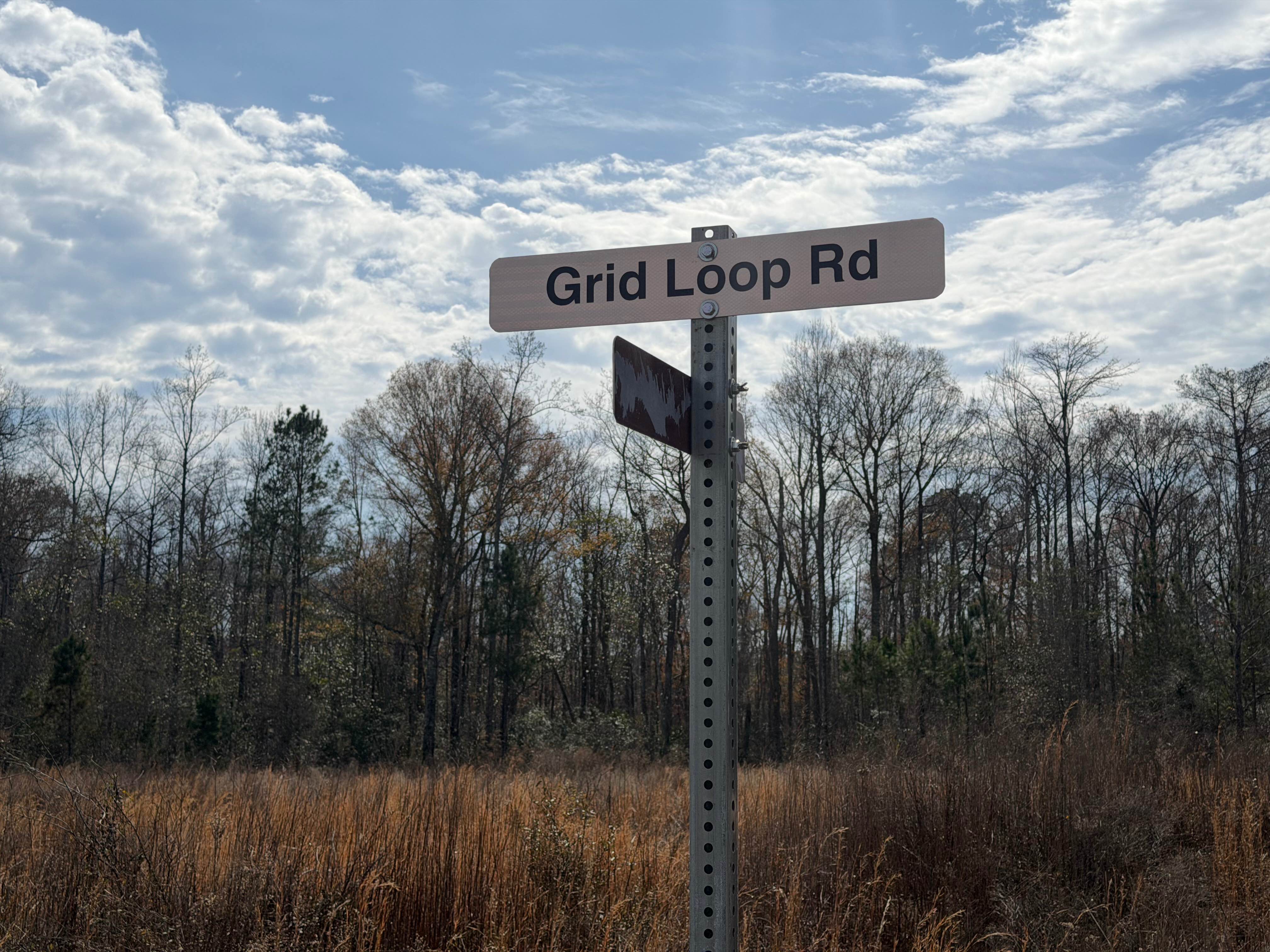
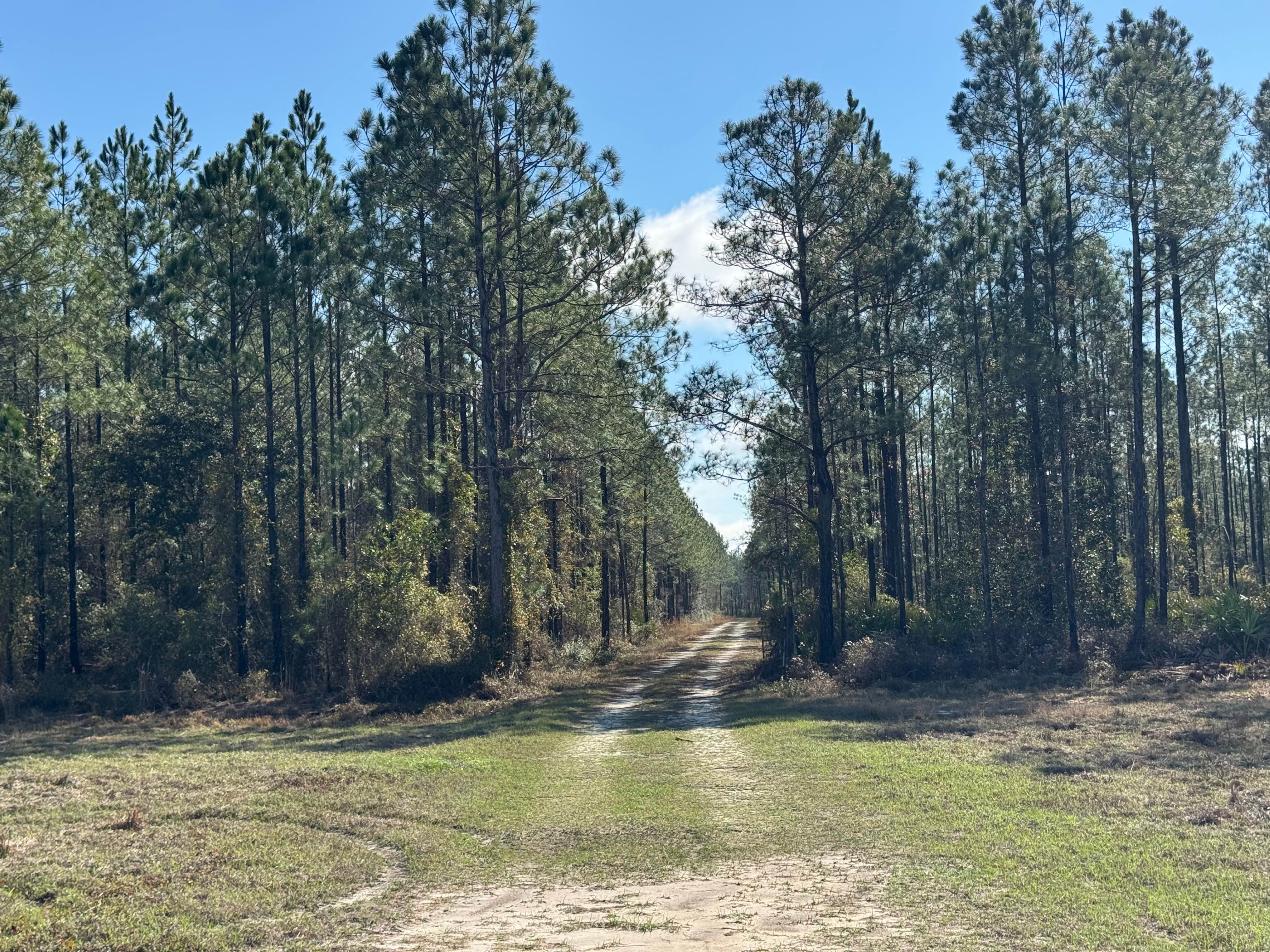
Grid Loop Road

Lick Log Creek

Cold Mountain - FSR 295
Clay Hill Road
The onX Offroad Difference
onX Offroad combines trail photos, descriptions, difficulty ratings, width restrictions, seasonality, and more in a user-friendly interface. Available on all devices, with offline access and full compatibility with CarPlay and Android Auto. Discover what you’re missing today!