Rocky Flats - FS 630D
Total Miles
3.0
Technical Rating
Best Time
Spring, Summer, Fall
Trail Type
Full-Width Road
Accessible By
Trail Overview
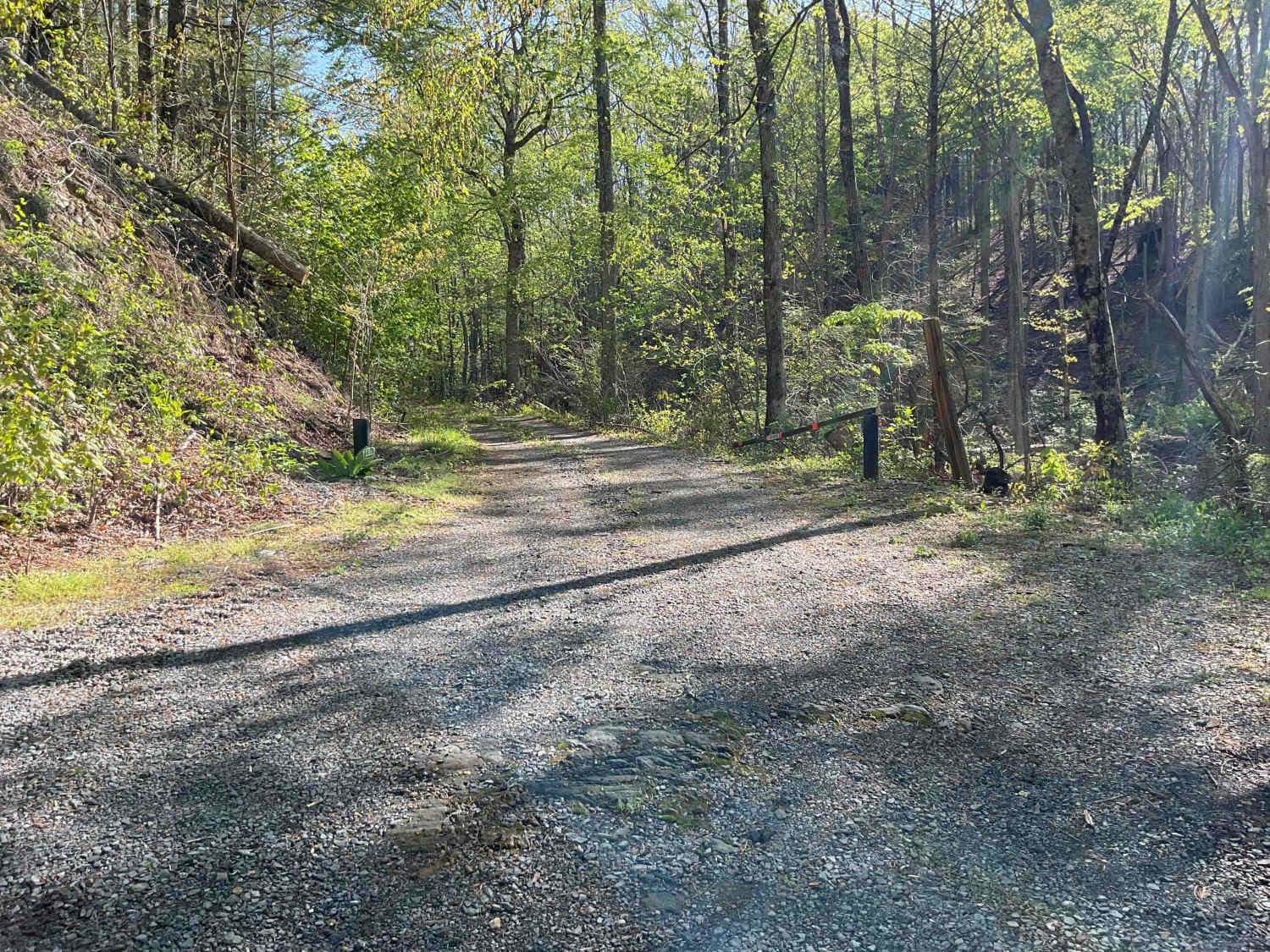
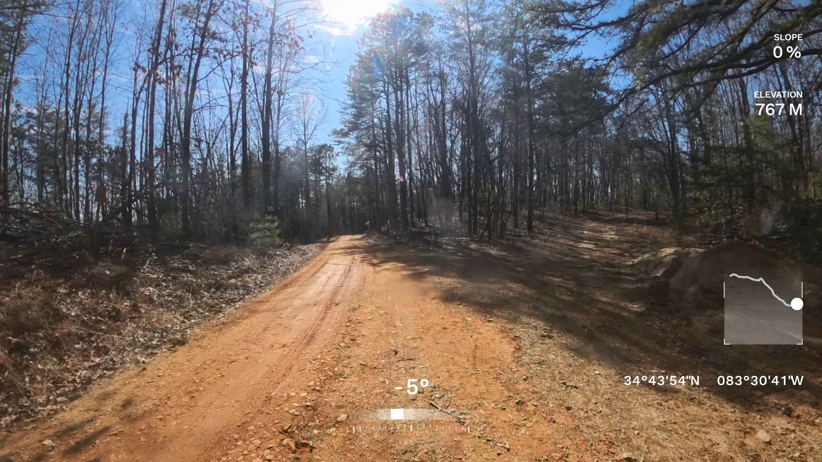
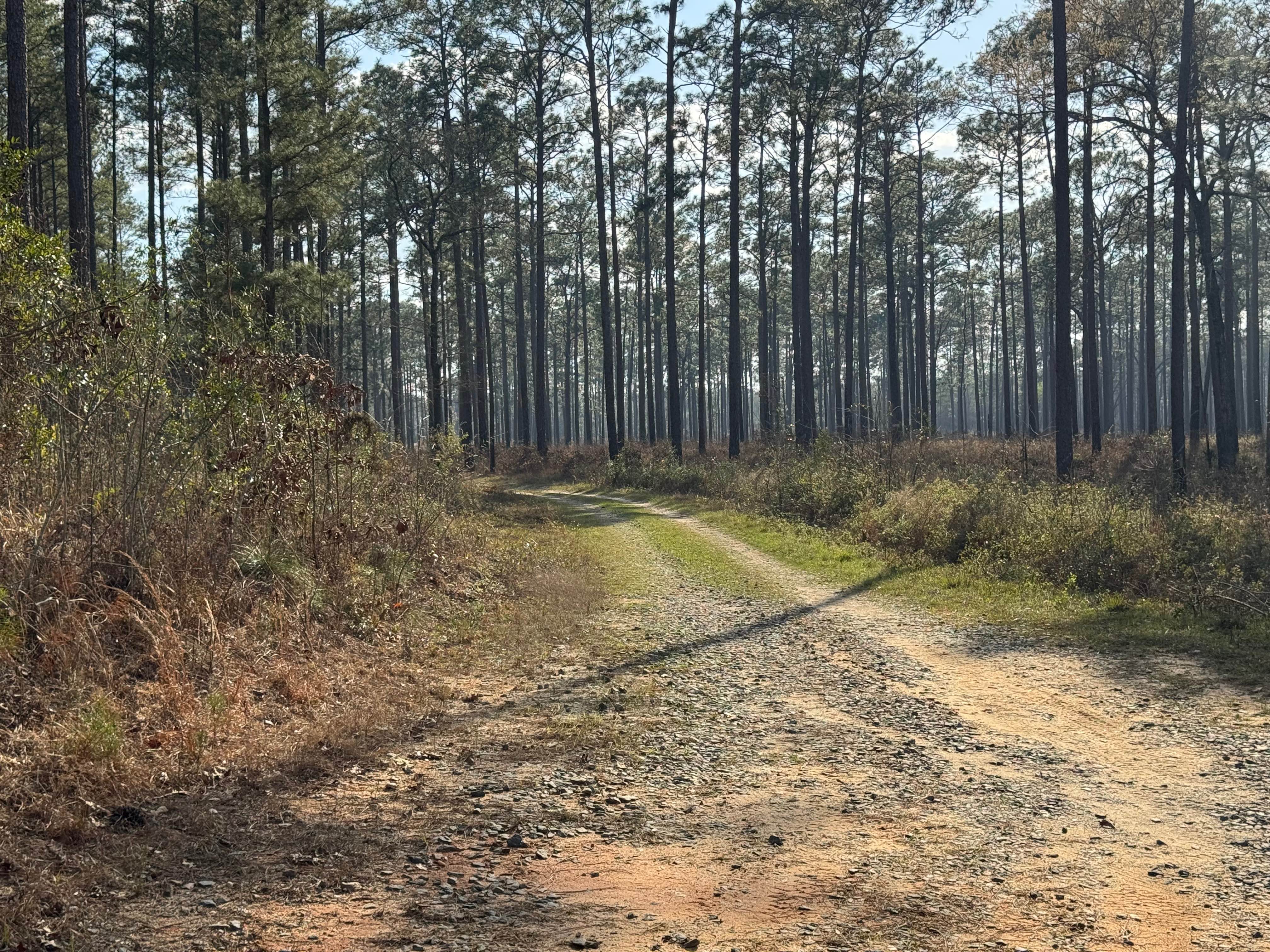
Trail FS 630D, also known as Rocky Flats, offers a peaceful ride through vast Georgia Pine and hardwood forests. The majority of the trail is a mix of dirt and embedded stones. Expect some standing water in low-lying areas and ruts following rain. There are several streams that pass under the trail and provide beautiful photo opportunities. Rocky Flats offers some minor inclines and two stream crossings. The last few hundred yards of the trail are currently inaccessible due to a previous forest fire and severe thunderstorm damage. Expect to spend 1.5 hours if you just plan an out-and-back trip. FS-630D requires a legally tagged and registered vehicle to access.
Photos of Rocky Flats - FS 630D

Difficulty
FS 630D is easily traversed by most 4x4 full-size vehicles and smaller ones. Due to ruts and the second water crossing, a minimal tire size of 31 inches is recommended. The majority of the trail is passable in 2WD during seasons of minimal rainfall. Four-wheel drive will be necessary following any amount of rain due to some slippery inclines.
History
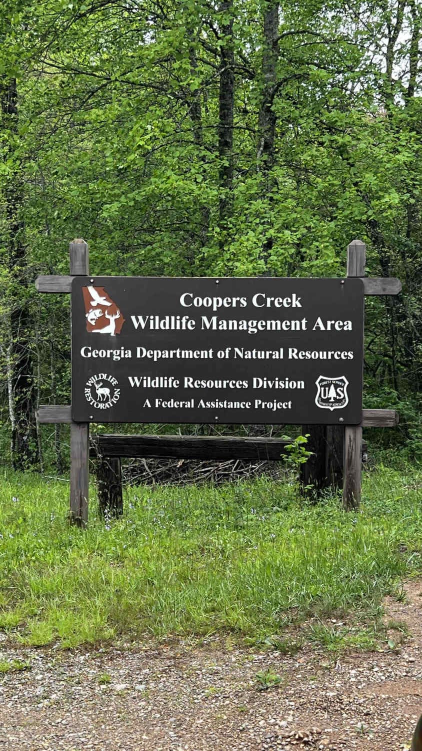
The Cohutta Wilderness is the largest wilderness area east of the Mississippi and is located in Georgia and partially in Tennessee. The Forestry Service has many managed wildlife food plots scattered throughout the wilderness that draw in wildlife. Expect to see plenty of deer and wild fowl in the area.
Status Reports
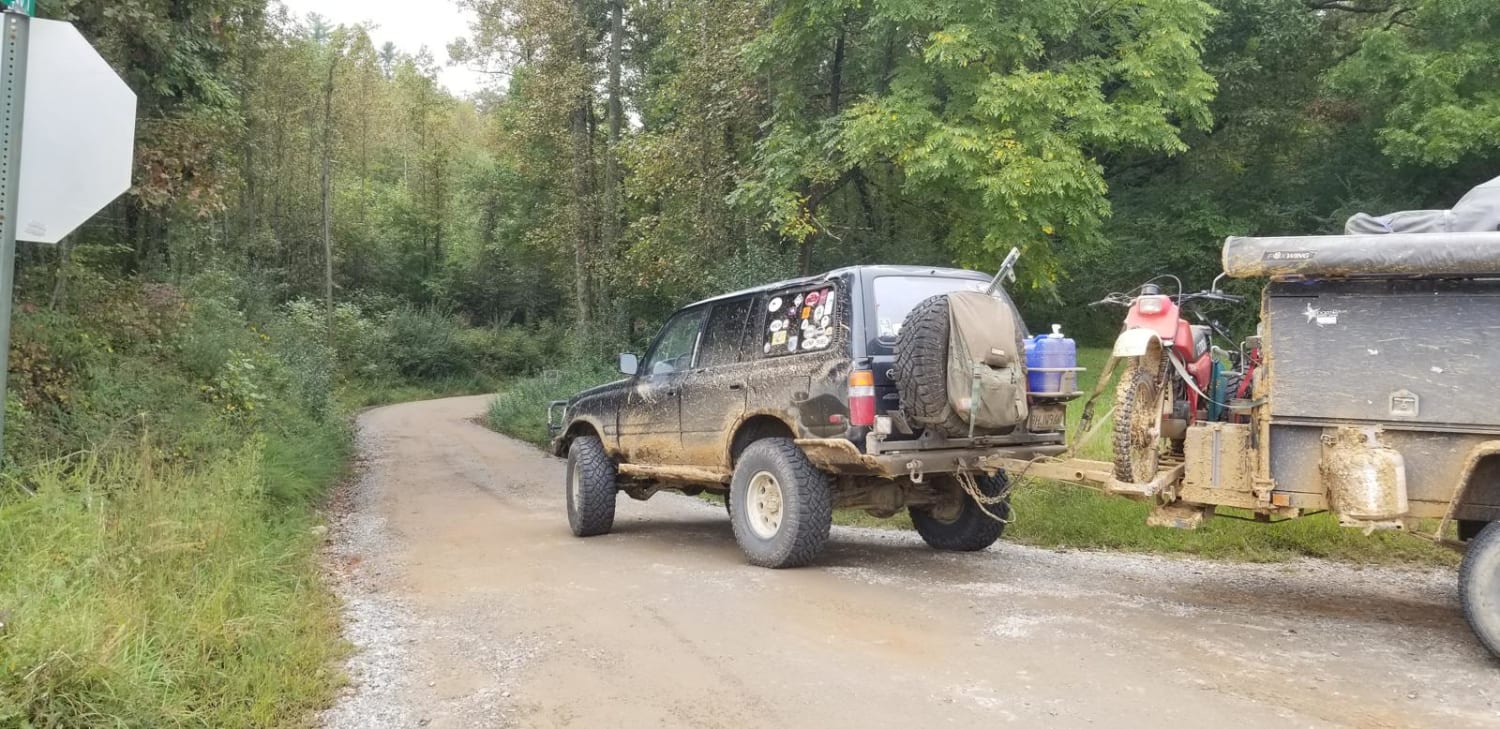
Rocky Flats - FS 630D can be accessed by the following ride types:
- High-Clearance 4x4
- SUV
Rocky Flats - FS 630D Map
Popular Trails
Winding Stair Mountain Trail
Cooper Creek FS Road 33
Flat Creek Road
Star Pond Trail
The onX Offroad Difference
onX Offroad combines trail photos, descriptions, difficulty ratings, width restrictions, seasonality, and more in a user-friendly interface. Available on all devices, with offline access and full compatibility with CarPlay and Android Auto. Discover what you’re missing today!