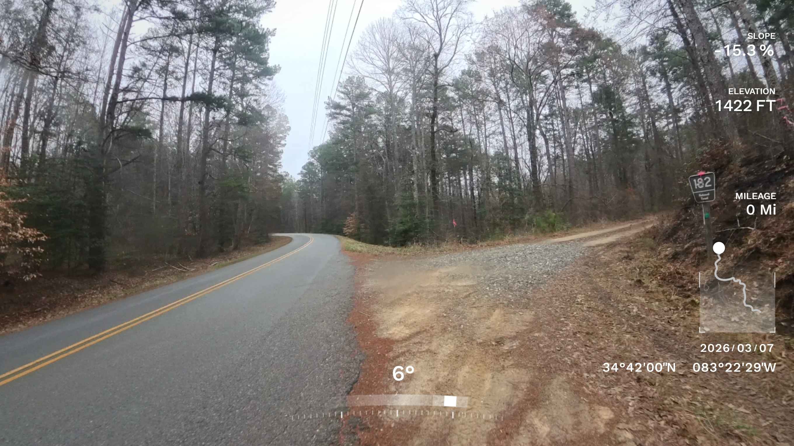
Flat Creek Road
Total Miles
0.7
Technical Rating
Best Time
Spring, Fall, Winter, Summer
Trail Type
Full-Width Road
Accessible By
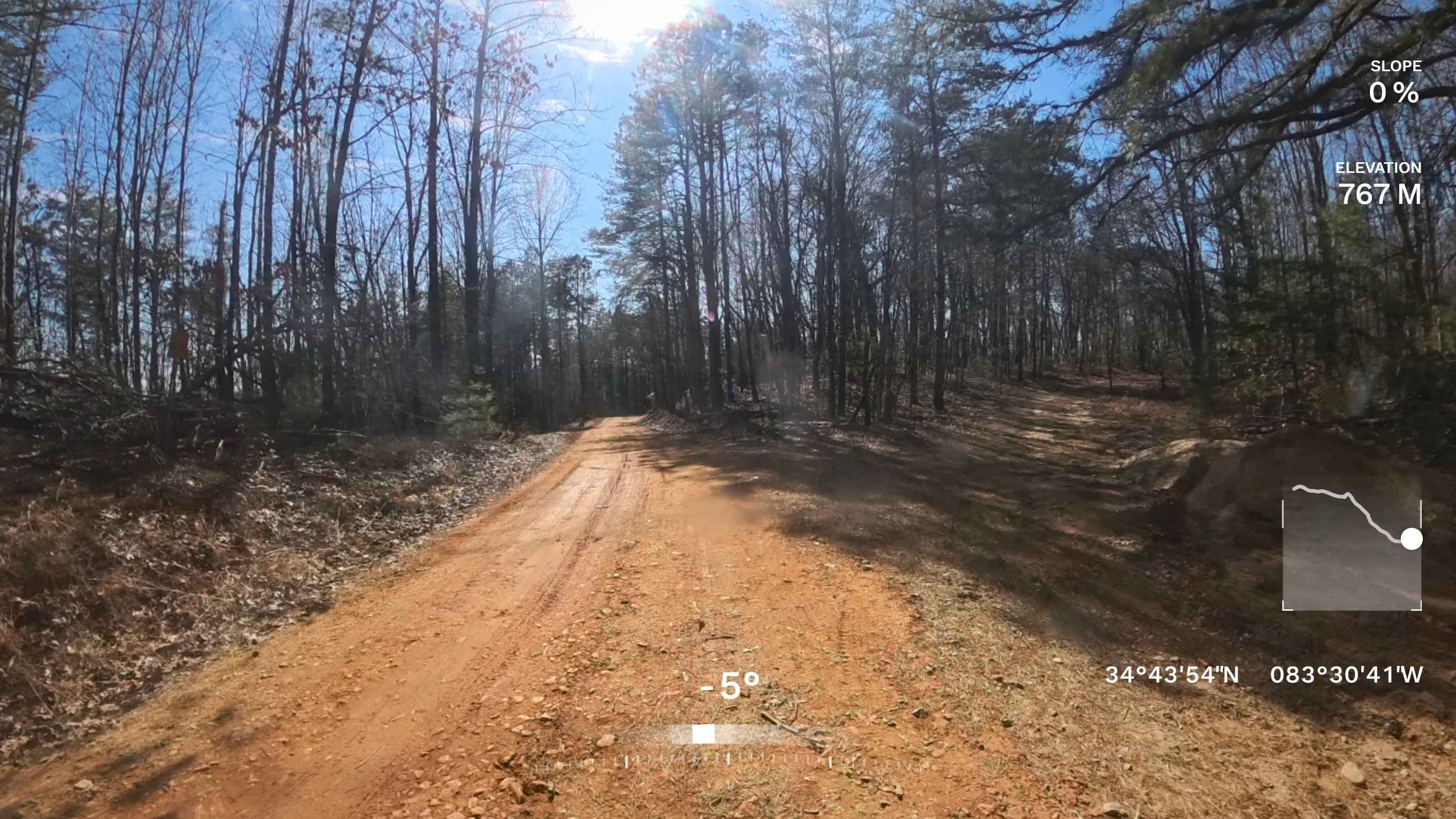
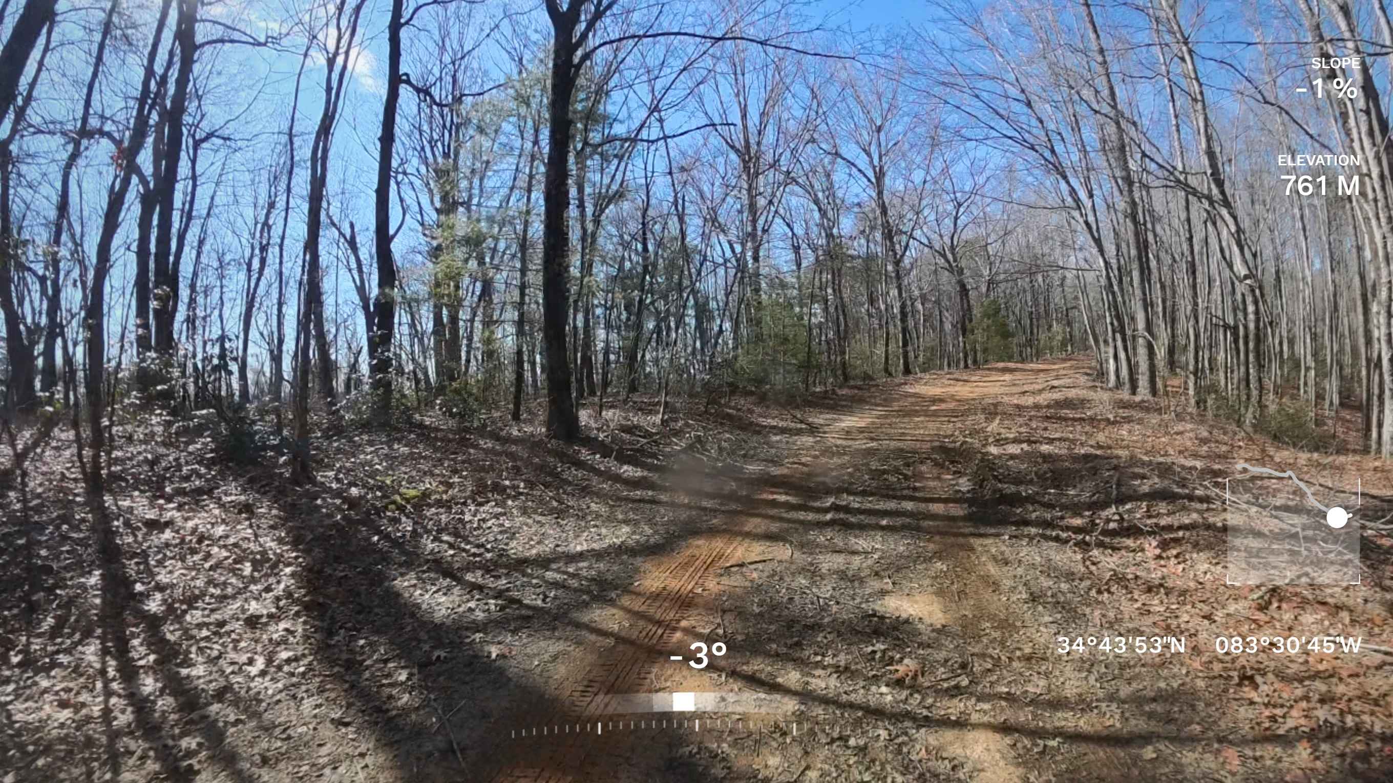
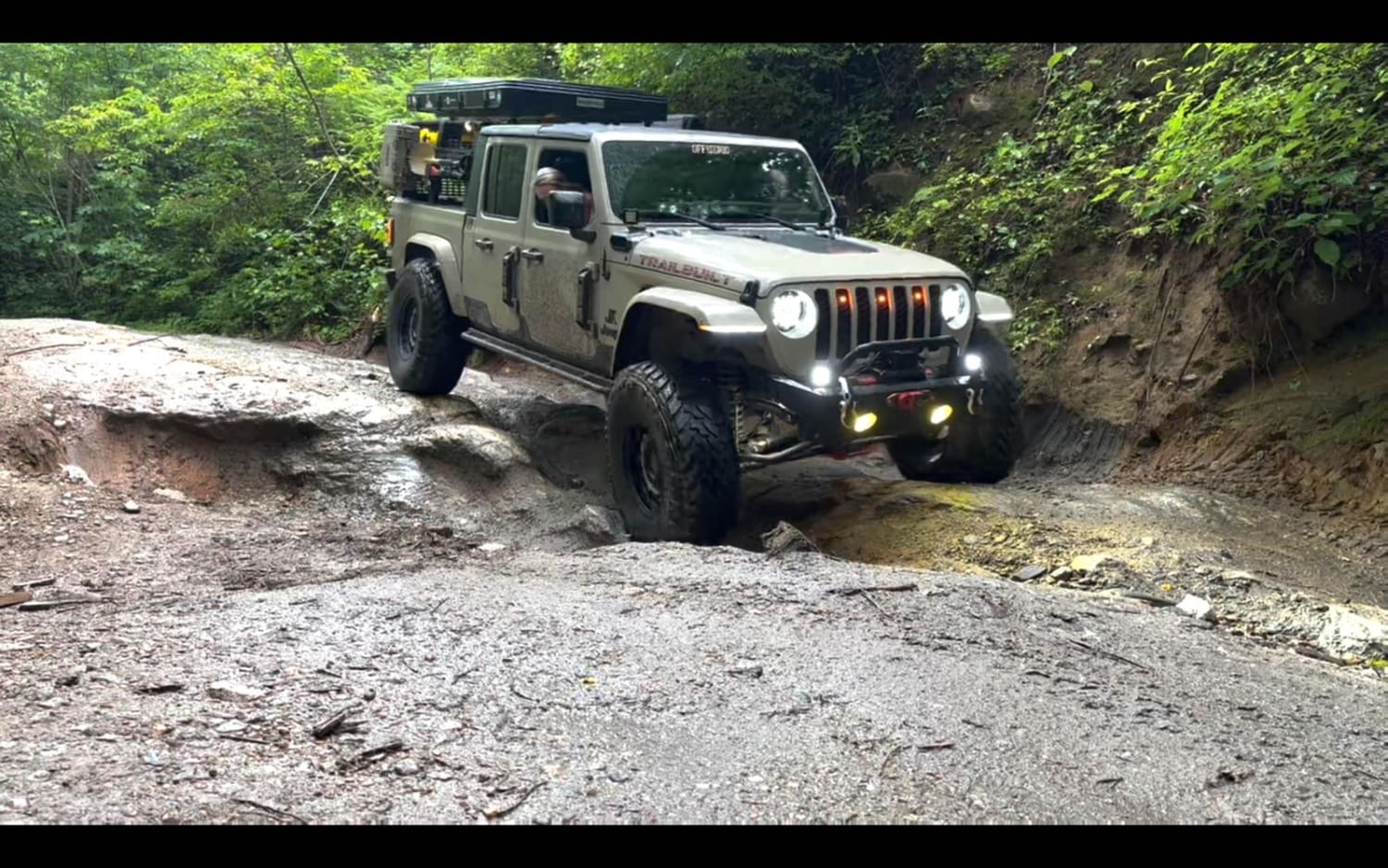
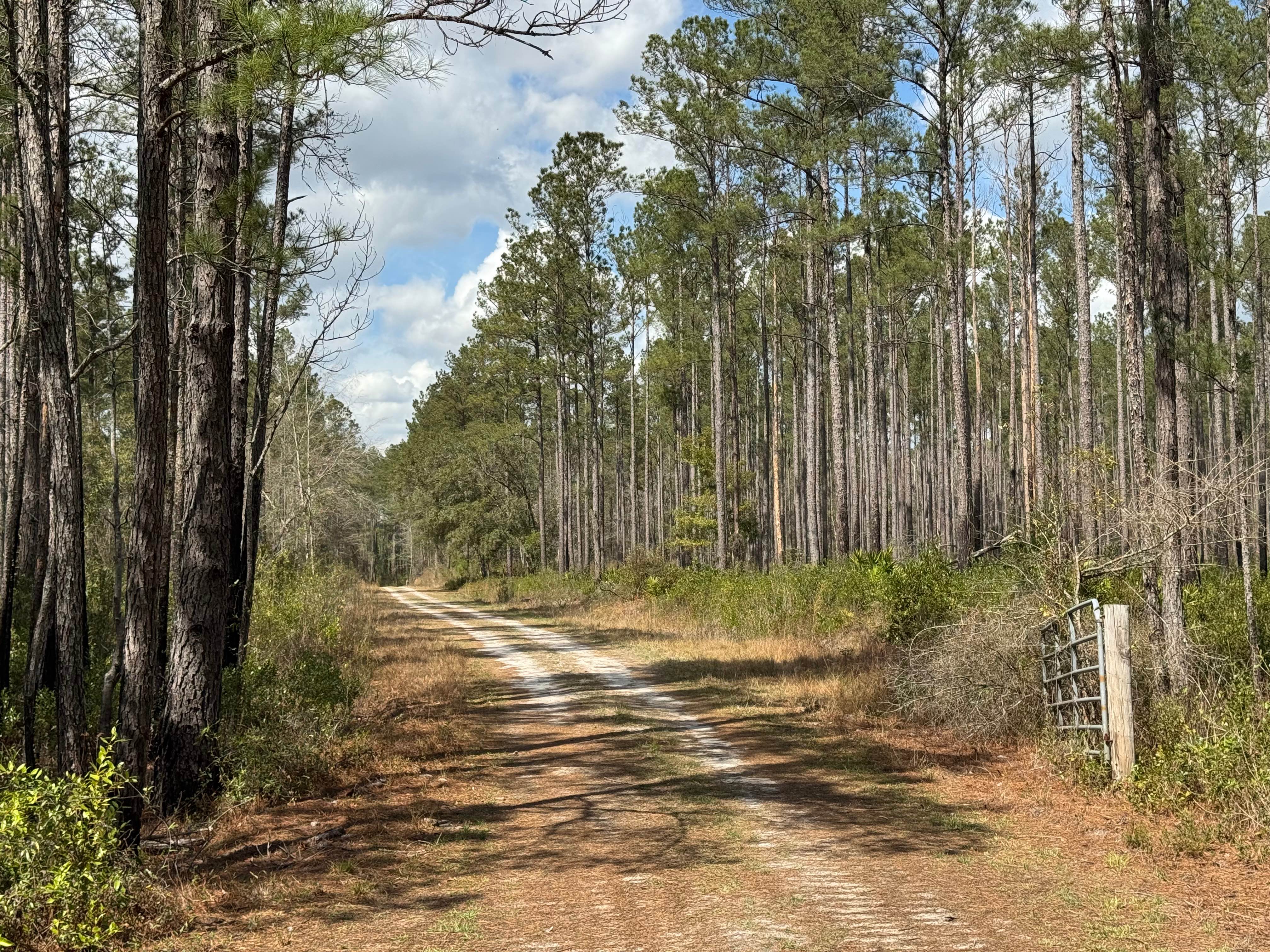
Trail Overview
This mostly dirt trail connects Low Gap Road to Vandiver Mountain Road and is a lightly traveled route. While the beginning and end sections are relatively manageable, much of the trail contains washouts and obstacles that can present challenges for some vehicles. Conditions become significantly more difficult after rain, as many of the washouts run directly down the center of the trail, and entering from Lower Gap Road means tackling the majority of the obstacles uphill. Drivers should come prepared with appropriate recovery gear and travel with additional vehicles as needed, based on their experience level for spotting and recovery assistance. Cell service in this area is generally reliable. This trail is recommended only for higher clearance vehicles.
Photos of Flat Creek Road
Difficulty
This trail is one lane with multiple washouts and a ledge off a culvert pipe with enough erosion that could put a vehicle in an off-camber position at times. This trail is recommended only for higher clearance vehicles.
Status Reports
Flat Creek Road can be accessed by the following ride types:
- High-Clearance 4x4
- SUV
Flat Creek Road Map
Popular Trails
Sarah's Creek
Cement Bridge Road
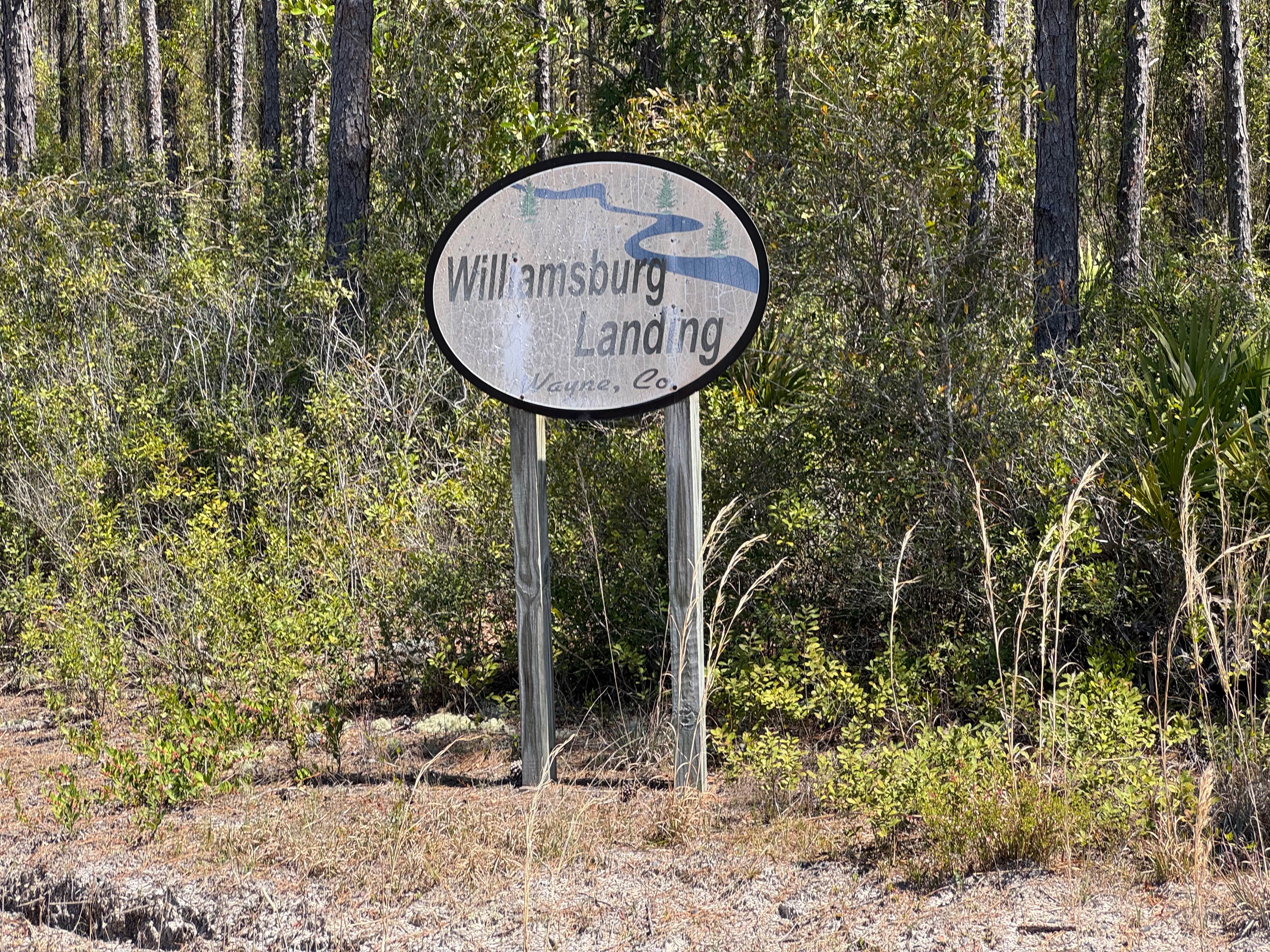
Williamsburg Landing
The onX Offroad Difference
onX Offroad combines trail photos, descriptions, difficulty ratings, width restrictions, seasonality, and more in a user-friendly interface. Available on all devices, with offline access and full compatibility with CarPlay and Android Auto. Discover what you’re missing today!