Middleton Lake Road
Total Miles
5.1
Technical Rating
Best Time
Spring, Summer, Fall, Winter
Trail Type
Full-Width Road
Accessible By
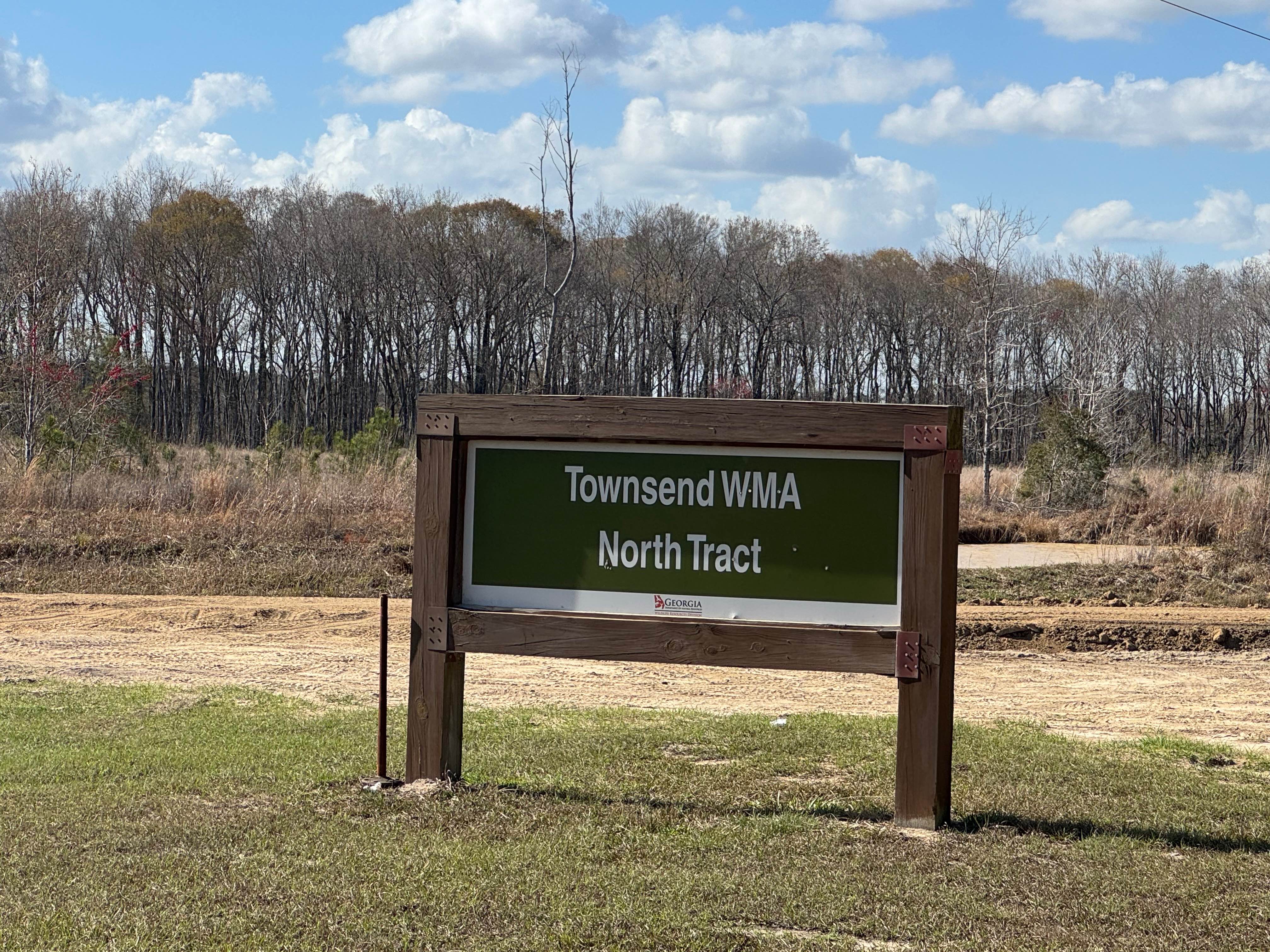
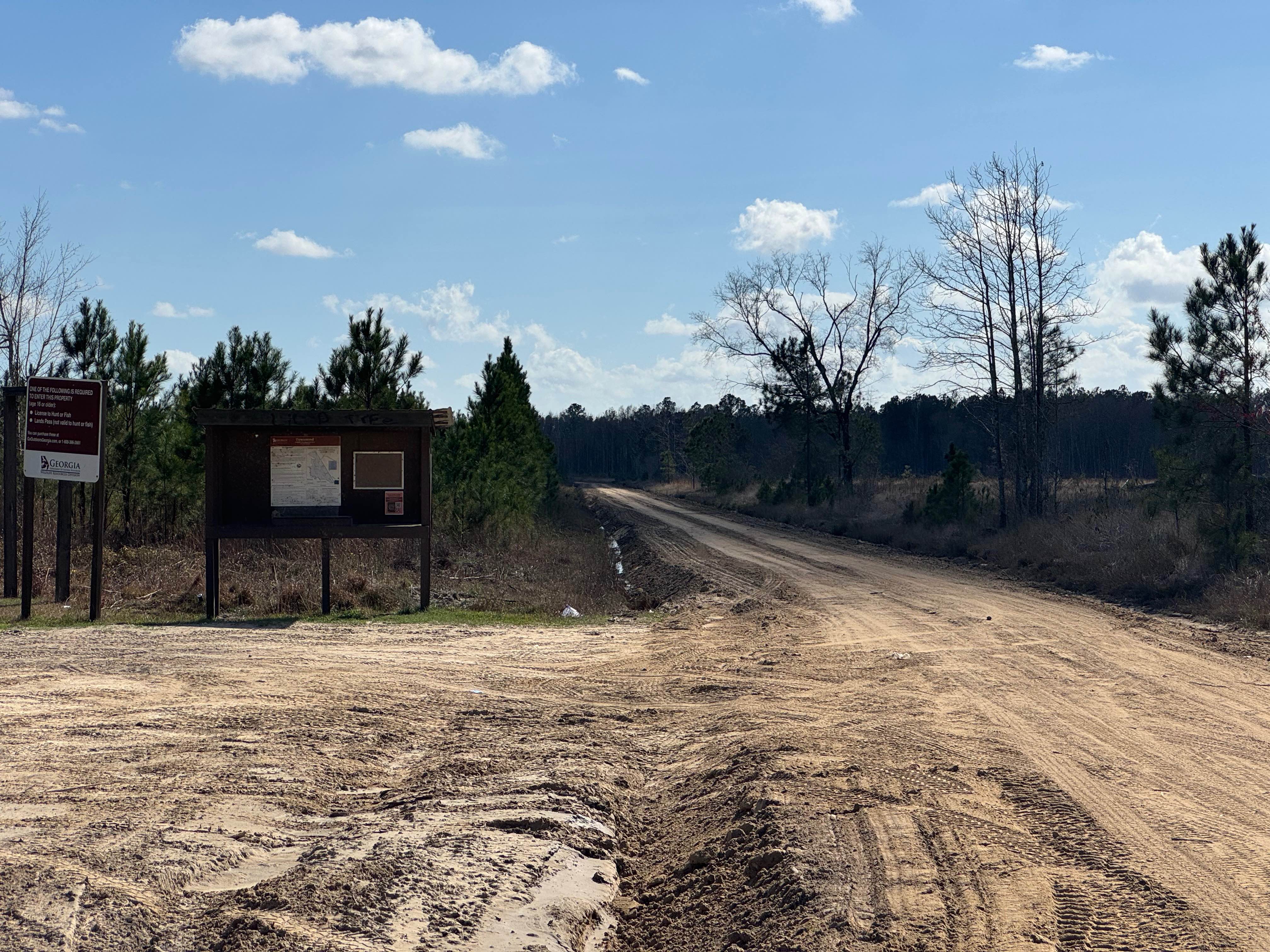
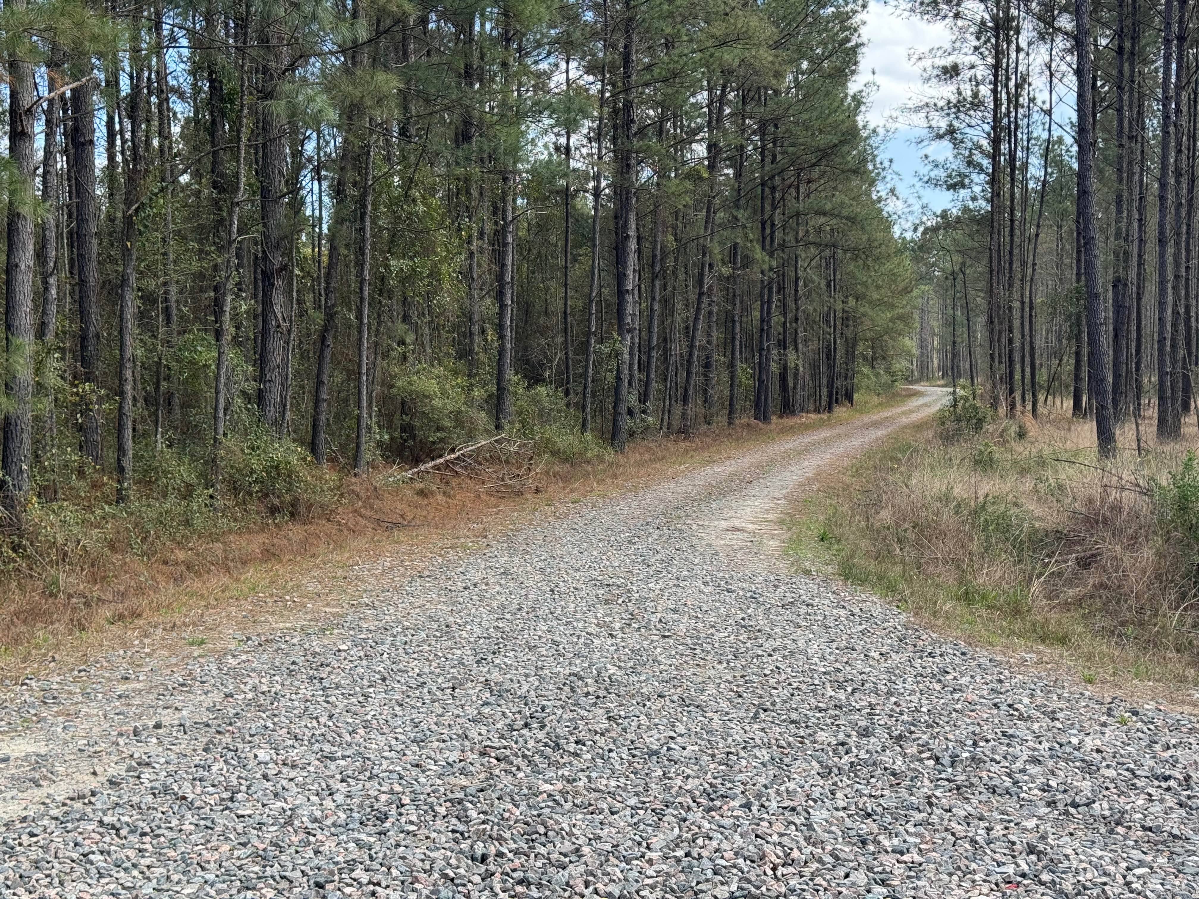
Trail Overview
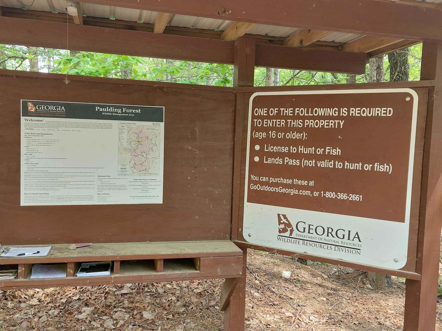
Middleton Lake Road is a through trail that travels just over five miles into the middle section of the Townsend WMA. On the north section, the trail is wide and well-maintained by graders. About two and a half miles from the northern trailhead at Old Barrington Road, there is a large primitive camping area that is shaded by dozens of large oak trees. Past the primitive camping area, the trail narrows to one lane wide and is not as well-maintained. The surface is packed dirt, so there are several sections of soft sand to watch for. About the three-mile mark, there is a tempting trail heading westward, but it is designated as 'no vehicular traffic', so do not travel here. The southern section eventually ends at Doe Road trail. There are several spur trails along the southern section to explore that allow vehicular traffic. Middleton Lake Road is entirely within the Townsend WMA, and a valid Georgia Hunting or Fishing license is required to access the trail.
Photos of Middleton Lake Road
Difficulty
Mostly one vehicle wide with some sections wider.
Status Reports
Middleton Lake Road can be accessed by the following ride types:
- High-Clearance 4x4
- SUV
Middleton Lake Road Map
Popular Trails
South End Road

Georgia Mountain Orchard
Oconee Southern Traverse - 1068 (Segment 2)
The onX Offroad Difference
onX Offroad combines trail photos, descriptions, difficulty ratings, width restrictions, seasonality, and more in a user-friendly interface. Available on all devices, with offline access and full compatibility with CarPlay and Android Auto. Discover what you’re missing today!