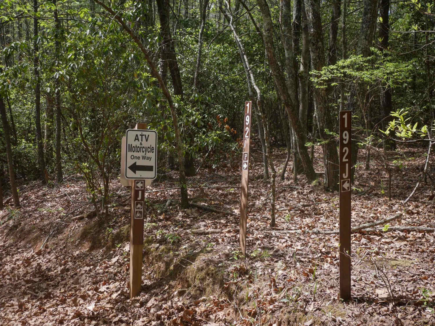
Iron Stab
Total Miles
6.4
Technical Rating
Best Time
Spring, Summer
Trail Type
Full-Width Road
Accessible By
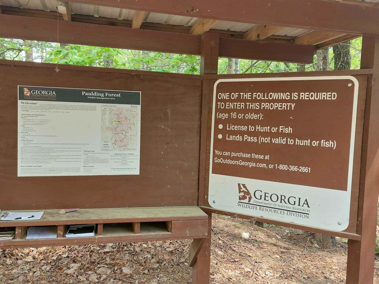
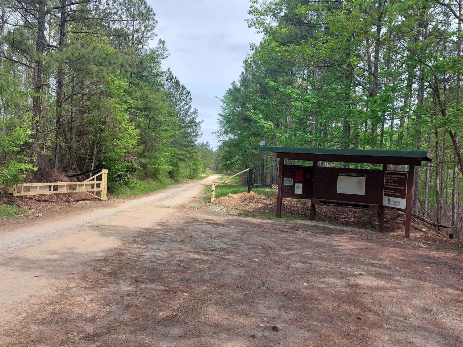
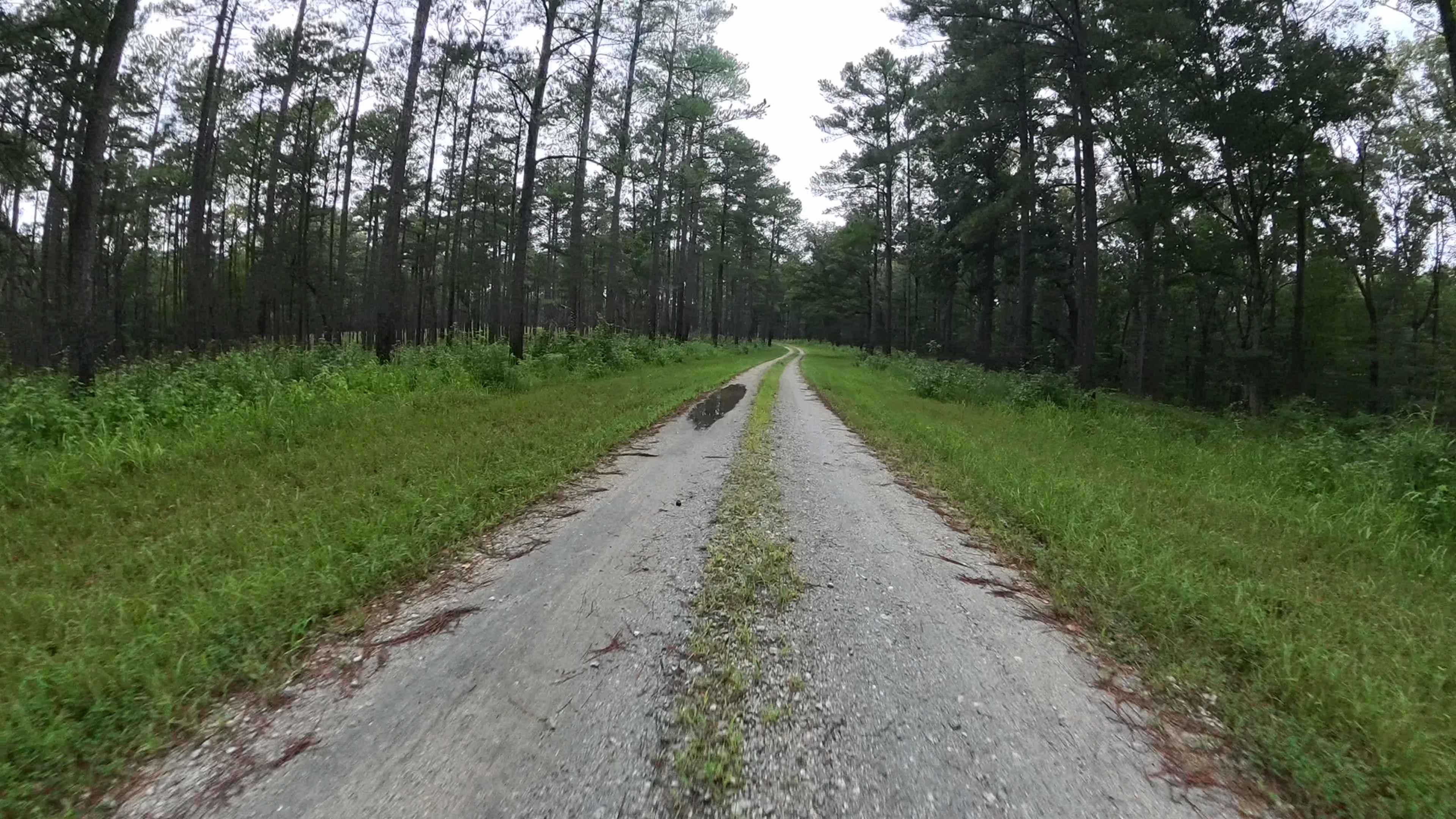
Trail Overview
This trail is on National Forest land. A hunting/fishing license or land pass is required to enter. Expect beautiful wooden views during spring and summer. The trail is half gravel and half dirt; rain will create a few washout ruts and some mud sections. There's a deep water pit with a mud bottom located at the end of the trail.
Photos of Iron Stab
Difficulty
This trail is mostly gravel with some slick mud areas. It has a deep mud section at the end of the trail.
Status Reports
Iron Stab can be accessed by the following ride types:
- High-Clearance 4x4
- SUV
Iron Stab Map
Popular Trails

Nimblewill Road
Sally Free Trail J

Fortenberry - FS 395
West Vaco Road
The onX Offroad Difference
onX Offroad combines trail photos, descriptions, difficulty ratings, width restrictions, seasonality, and more in a user-friendly interface. Available on all devices, with offline access and full compatibility with CarPlay and Android Auto. Discover what you’re missing today!