Brier Creek Access
Total Miles
2.2
Technical Rating
Best Time
Spring, Summer, Fall, Winter
Trail Type
Full-Width Road
Accessible By
Trail Overview
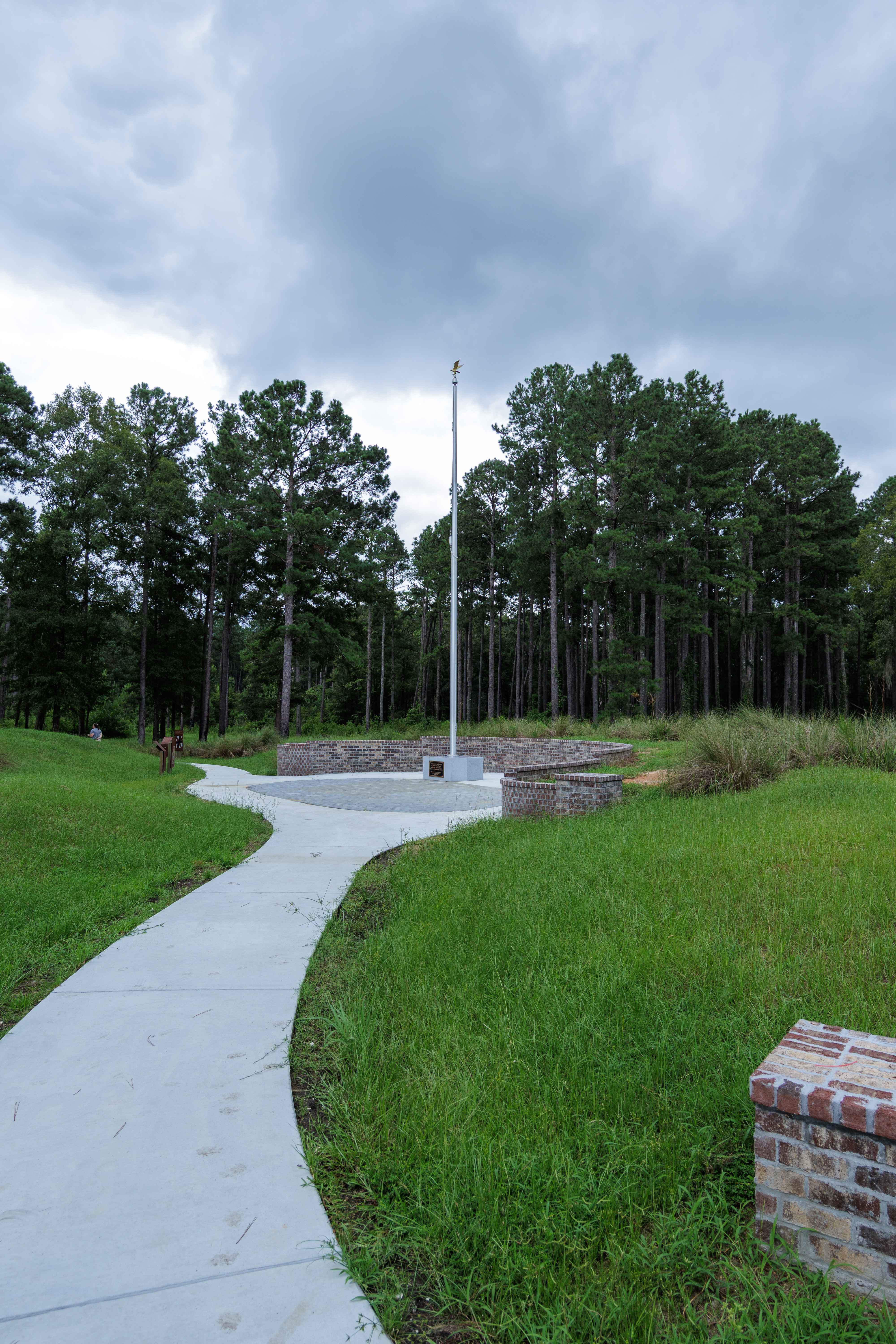
This route is entirely within the Tuckahoe Wildlife Management Area, a 15,000-acre property bordering the Savannah River. A fishing and/or hunting license is required to legally enter the property and can be obtained via georgiawildlife.com/tuckahoe-wma. Camping is only permitted in one of the two designated camping areas within the property. This route begins at the entrance to the property and leads past the Revolutionary War Memorial and concludes at Brier Creek. There is a large turnaround at the end of the road with ample opportunity for freshwater fishing.
Photos of Brier Creek Access
Difficulty
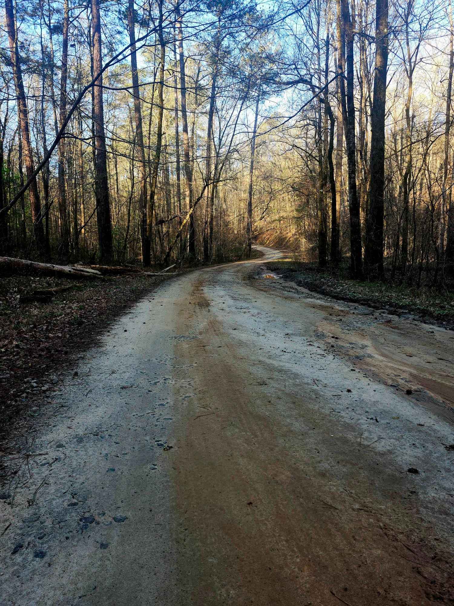
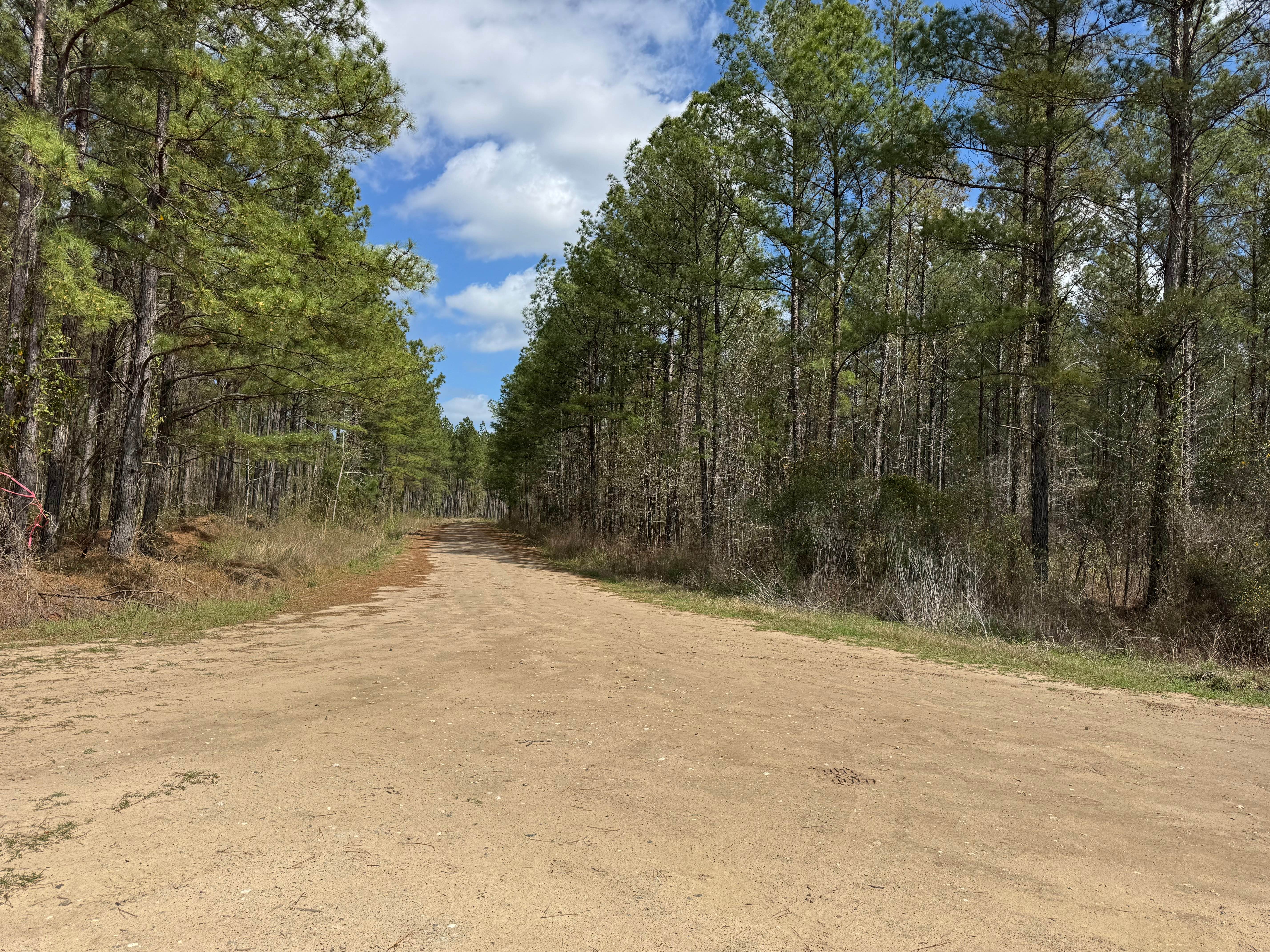
The route to Brier Creek is well maintained by the Georgia DNR and is mostly a large gravel road. Some clearance is necessary due to the larger-sized nature of the gravel used, about softball-sized.
History
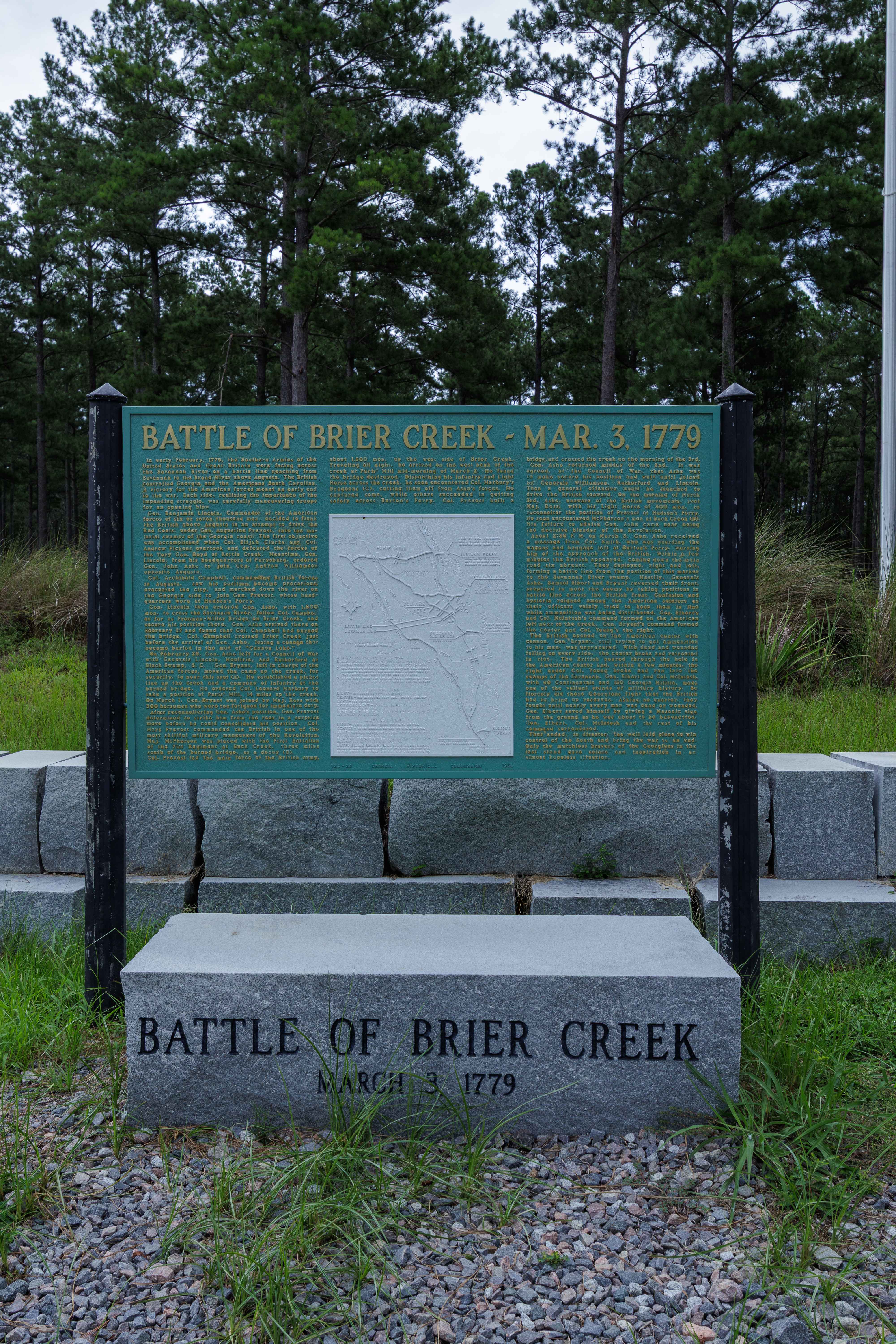
On land that is now a part of the Tuckahoe Wildlife Management Area, the Battle of Brier Creek took place on March 3, 1779, near the intersection of Brier Creek and the Savannah River in eastern Georgia. There is now a large memorial under construction halfway down the trail with a short walking path remembering the lost lives.
Status Reports
Brier Creek Access can be accessed by the following ride types:
- High-Clearance 4x4
- SUV
- SxS (60")
- ATV (50")
- Dirt Bike
Brier Creek Access Map
Popular Trails
Upper Pope Trail

Cold Springs Road to Billups - FS 1245

Tallulah River Trail - FR 70
Gibson Island Road
The onX Offroad Difference
onX Offroad combines trail photos, descriptions, difficulty ratings, width restrictions, seasonality, and more in a user-friendly interface. Available on all devices, with offline access and full compatibility with CarPlay and Android Auto. Discover what you’re missing today!