Gibson/Bay Connector
Total Miles
0.7
Technical Rating
Best Time
Spring, Summer, Fall, Winter
Trail Type
Full-Width Road
Accessible By
Trail Overview
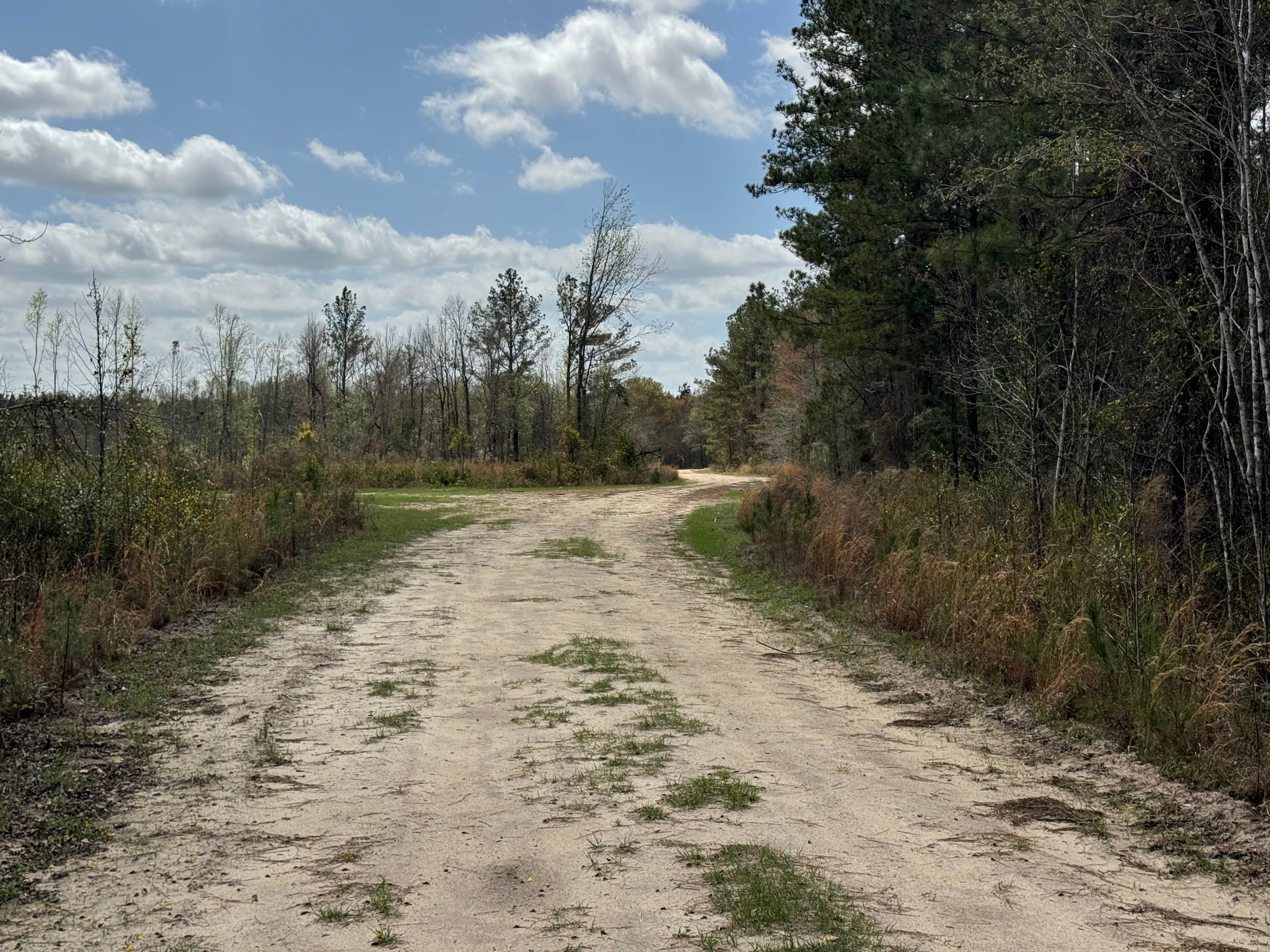
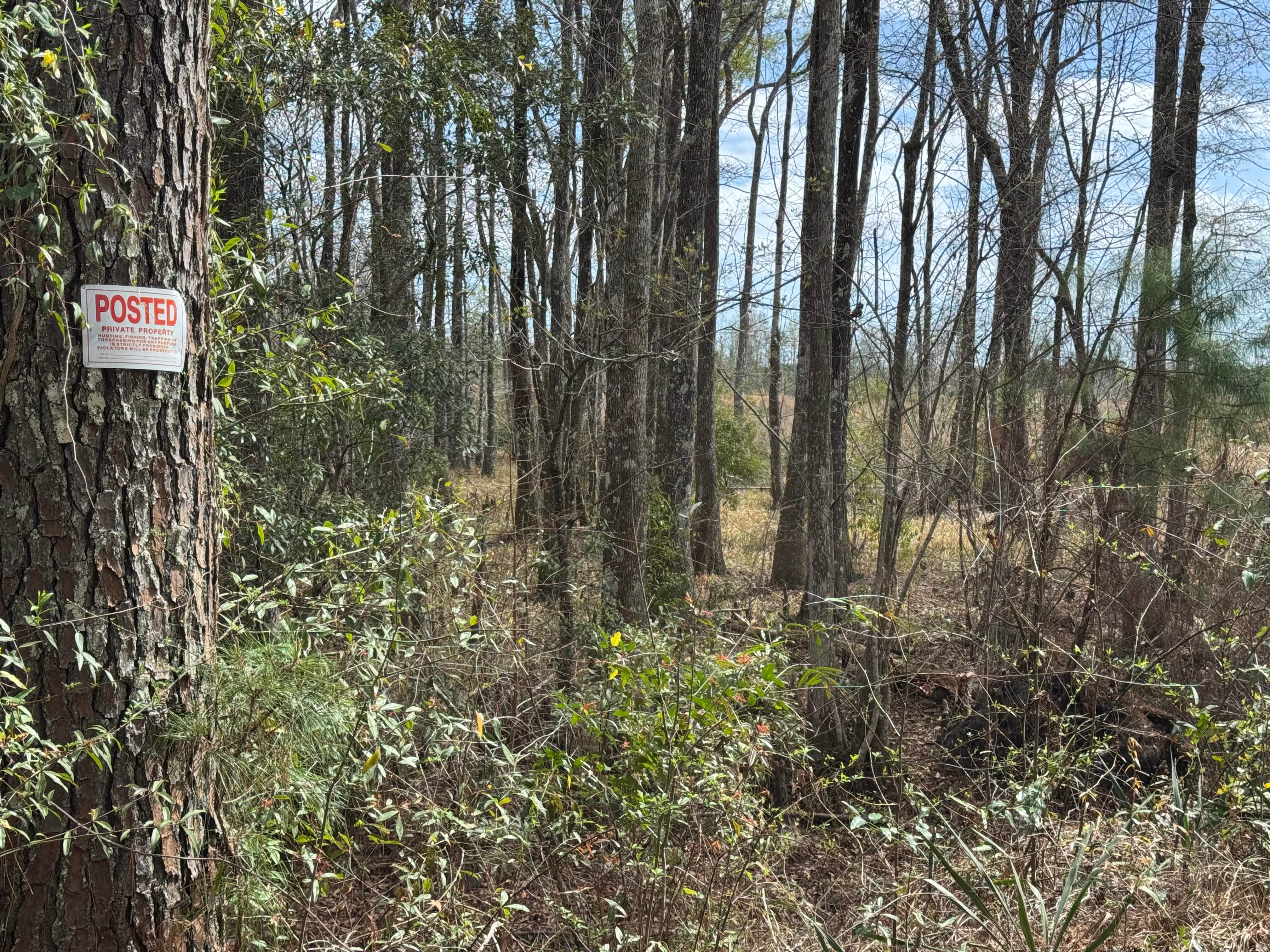
The Gibson/Bay Connector trail provides a short bridge between the ends of the Bay Road trail and the Gibson Island Road trail. The eastern side of the trail borders private property, so please respect the owners even if gates along the eastern side are open. The trail surface is primarily packed dirt and appears to drain well, so it is an easy drive. The trail is about one vehicle wide and is lined with uncultivated pine, coastal oaks, and scrub. A variety of wildlife lives along the trail, including deer, wild hog, and turkeys. Trail access requires a valid hunt/fish license or a Lands Pass to enter.
Photos of Gibson/Bay Connector
Difficulty
This trail is narrow with limited passing opportunities, requiring drivers to be aware of oncoming traffic.
Status Reports
Gibson/Bay Connector can be accessed by the following ride types:
- High-Clearance 4x4
- SUV
Gibson/Bay Connector Map
Popular Trails
Etowah River Access

Gumlog Gap FS 95

Dry Creek - Forest Road 226
The onX Offroad Difference
onX Offroad combines trail photos, descriptions, difficulty ratings, width restrictions, seasonality, and more in a user-friendly interface. Available on all devices, with offline access and full compatibility with CarPlay and Android Auto. Discover what you’re missing today!