Lane Cemetery Trail
Total Miles
9.2
Technical Rating
Best Time
Spring, Summer, Fall, Winter
Trail Type
Full-Width Road
Accessible By
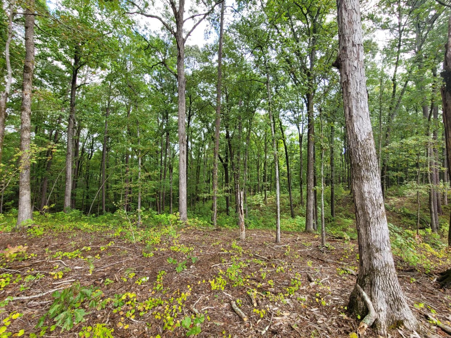
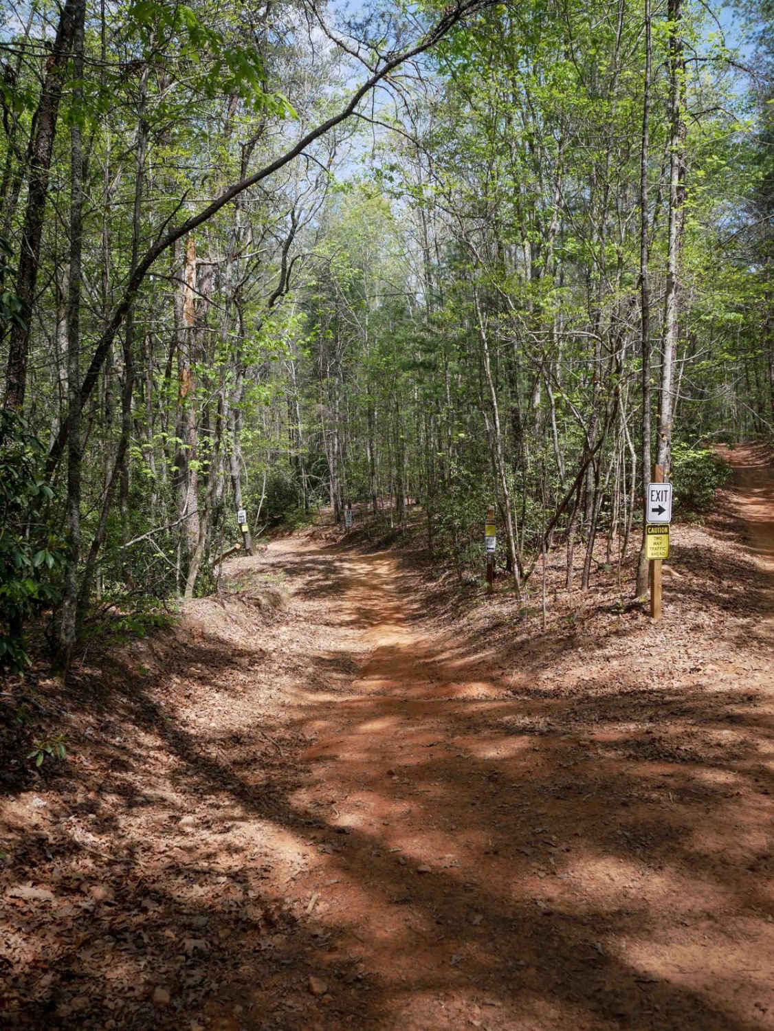
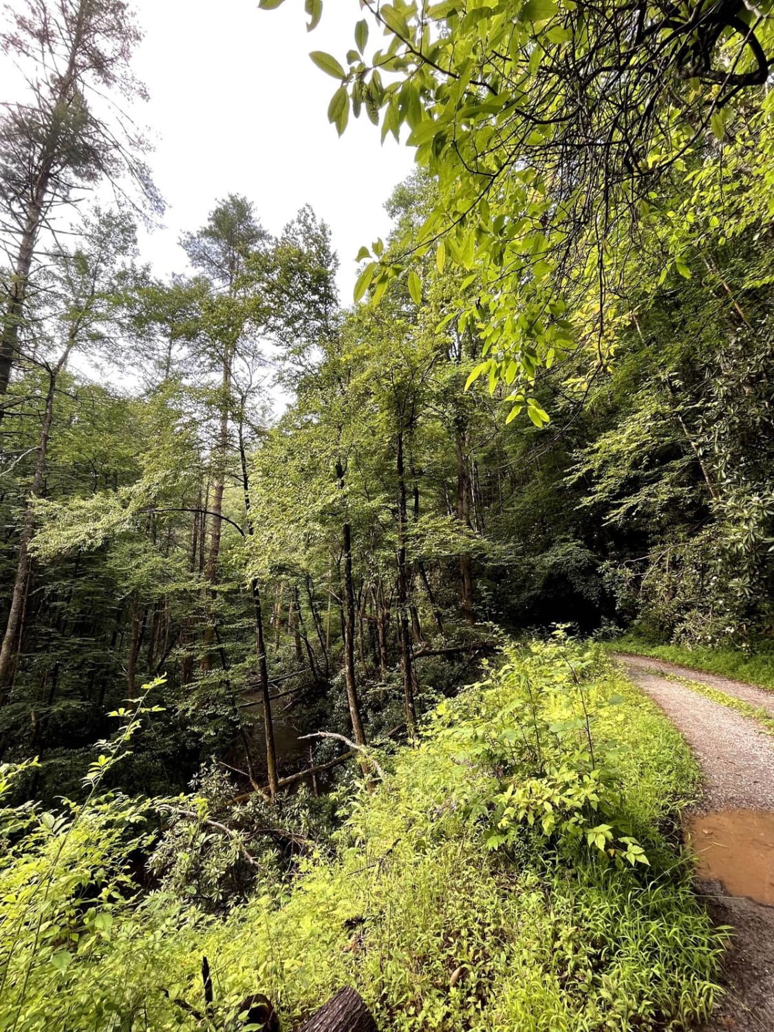
Trail Overview
This is a network of forest service unpaved, gravel and mud trails in the Oconee National Forest. Parts of the trail go near the Ocmulgee River. There are kayak and canoe put in points. There are several spurs that are sometimes closed, either seasonally, or for environment reasons. There are plenty of camping sites which are typically free. There are logging company owned/leased areas that have been decimated.
Photos of Lane Cemetery Trail

Difficulty
These are mostly gravel and mud roads. They are rough in some parts, and some, which are more difficult, can be bypassed.
Status Reports
Lane Cemetery Trail can be accessed by the following ride types:
- High-Clearance 4x4
- SUV
Lane Cemetery Trail Map
Popular Trails

Crow Creek - FS 27

South River Road
Hightower Loop Connector Trail D
Foster Branch Road
The onX Offroad Difference
onX Offroad combines trail photos, descriptions, difficulty ratings, width restrictions, seasonality, and more in a user-friendly interface. Available on all devices, with offline access and full compatibility with CarPlay and Android Auto. Discover what you’re missing today!