Lower Concord - FS 1017
Total Miles
1.4
Technical Rating
Best Time
Spring, Winter, Fall, Summer
Trail Type
Full-Width Road
Accessible By
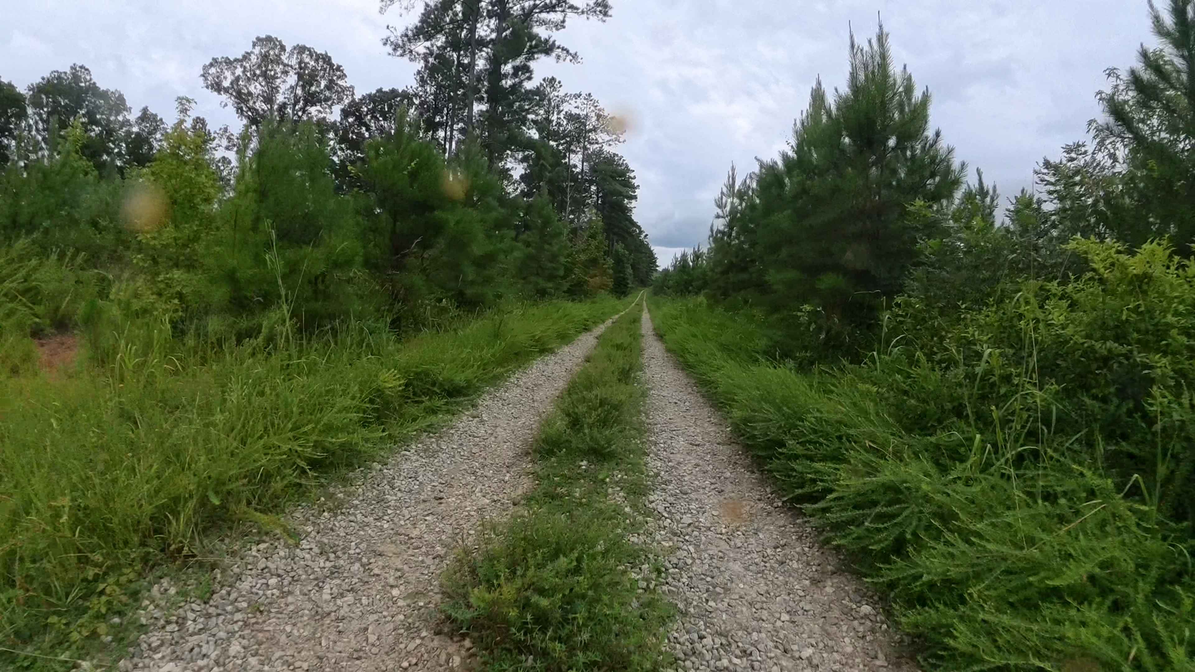
Trail Overview
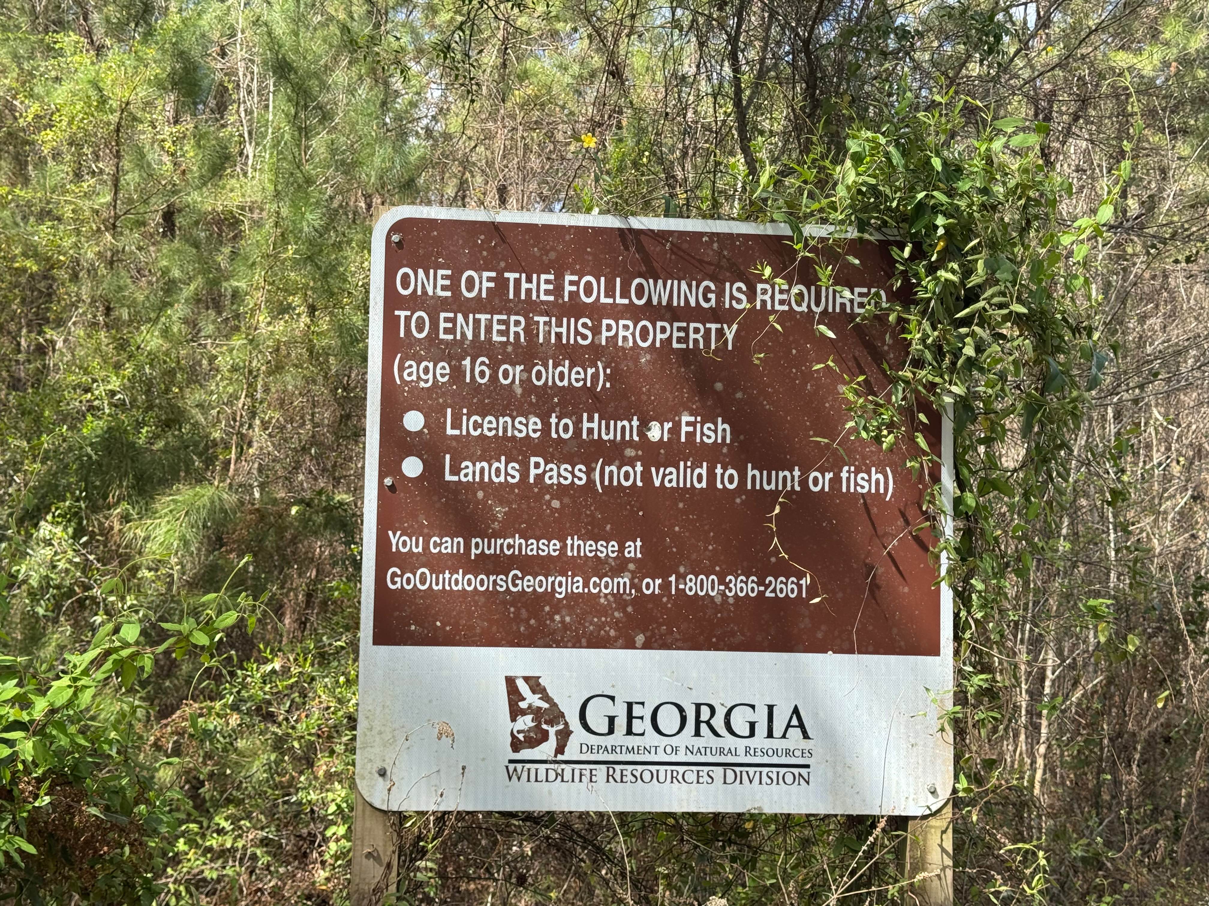
This out-and-back trail is situated within the Oconee National Forest and features a typical terrain for the area--primarily gravel with intermittent water and mud holes along the route. At the southern end of the trail, there is a large turnaround area. Beyond this point, the trail continues but narrows significantly into a single-lane dirt and mud path, eventually ending at a downed tree. While there are a few muddy sections, they generally have a solid base and do not present major obstacles. However, space for turning around is limited, and there are minimal scenic features beyond the main turnaround point. These trails in this area are open to licensed highway vehicles only.
Photos of Lower Concord - FS 1017

Difficulty
This is an easy gravel trail with occasional water and mud holes, most of which can be avoided until reaching the southernmost point. From there, the trail narrows significantly and transitions to dirt and mud, with a few unavoidable mud pits that must be crossed to proceed. While these sections currently have a solid base, increased vehicle traffic may cause them to become less stable over time.
Status Reports
Lower Concord - FS 1017 can be accessed by the following ride types:
- High-Clearance 4x4
- SUV
Lower Concord - FS 1017 Map
Popular Trails
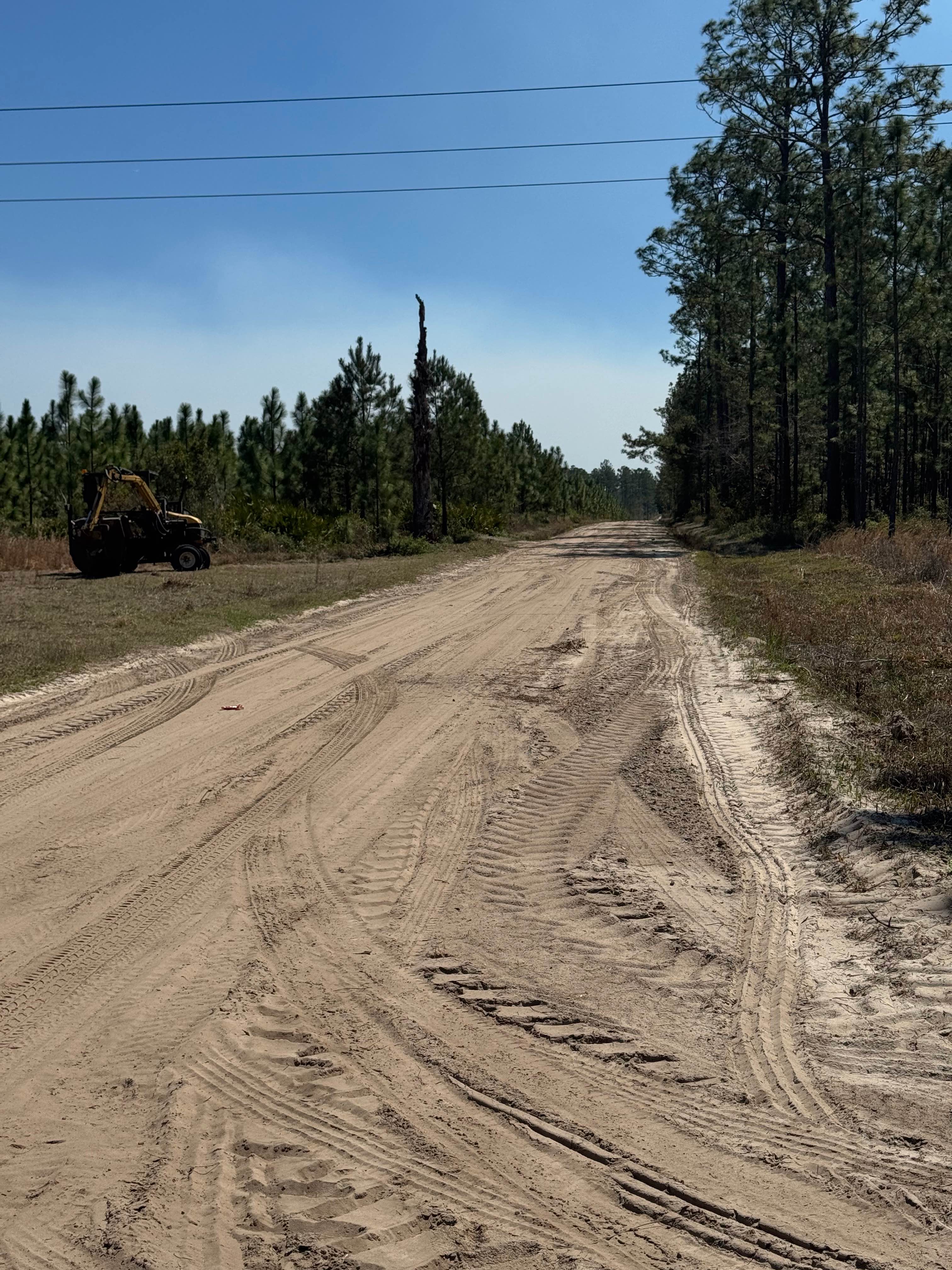
Sansavilla Road
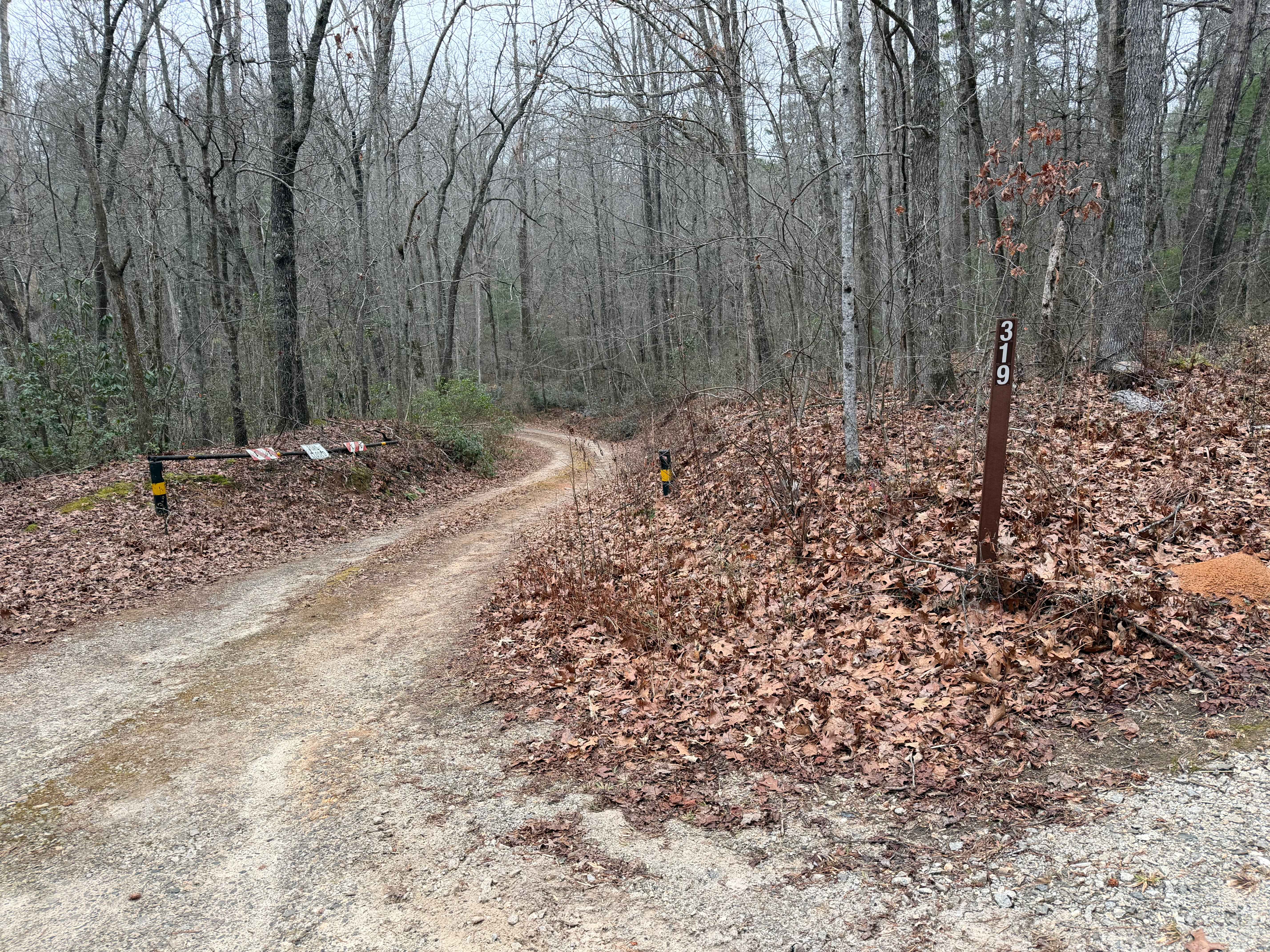
Silly Cook Mountain - FS 319
Blount's Crossing
The onX Offroad Difference
onX Offroad combines trail photos, descriptions, difficulty ratings, width restrictions, seasonality, and more in a user-friendly interface. Available on all devices, with offline access and full compatibility with CarPlay and Android Auto. Discover what you’re missing today!