Frog Pond Road
Total Miles
1.6
Technical Rating
Best Time
Spring, Summer, Fall, Winter
Trail Type
Full-Width Road
Accessible By
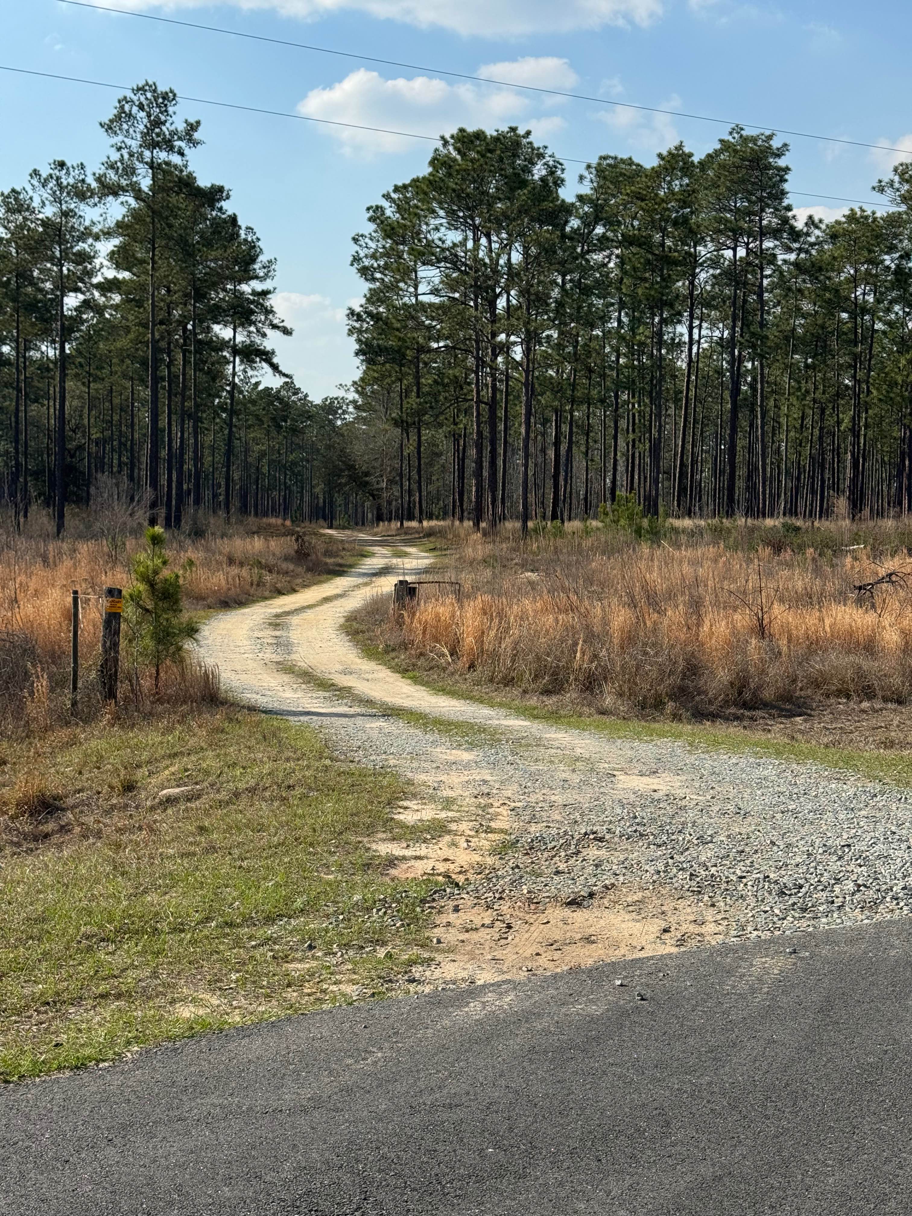
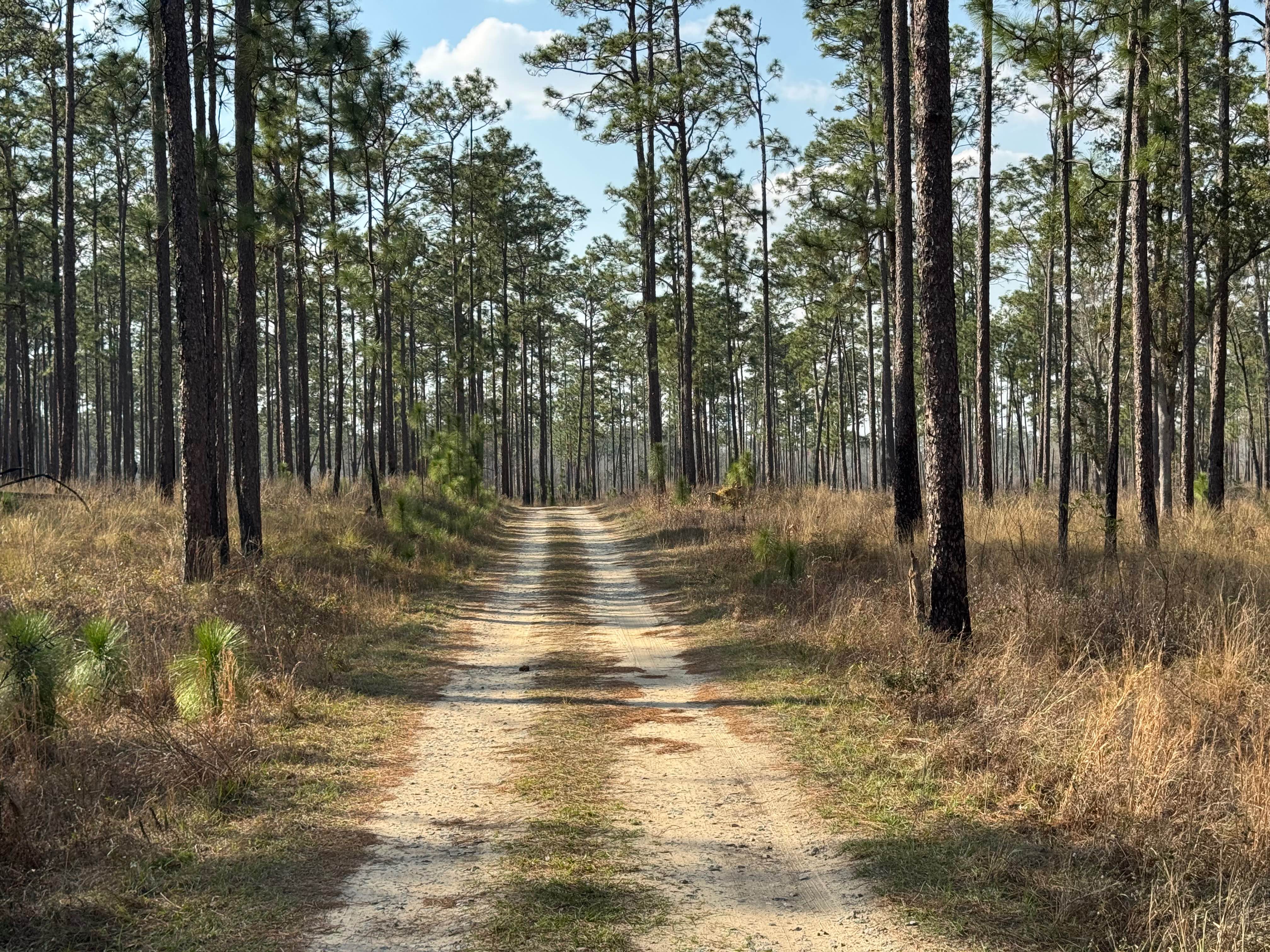
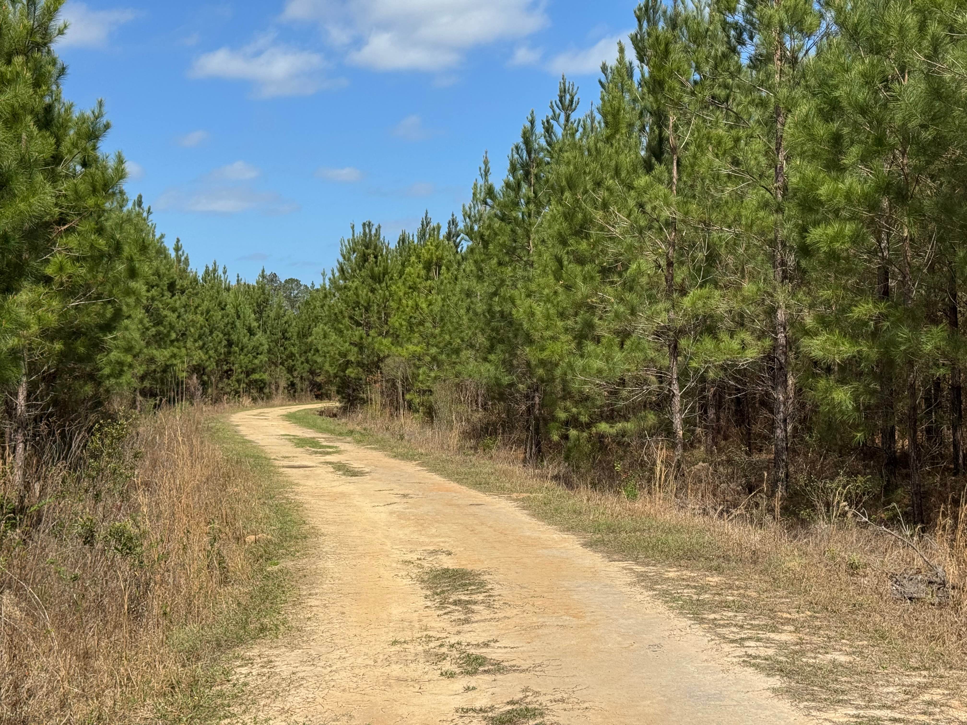
Trail Overview
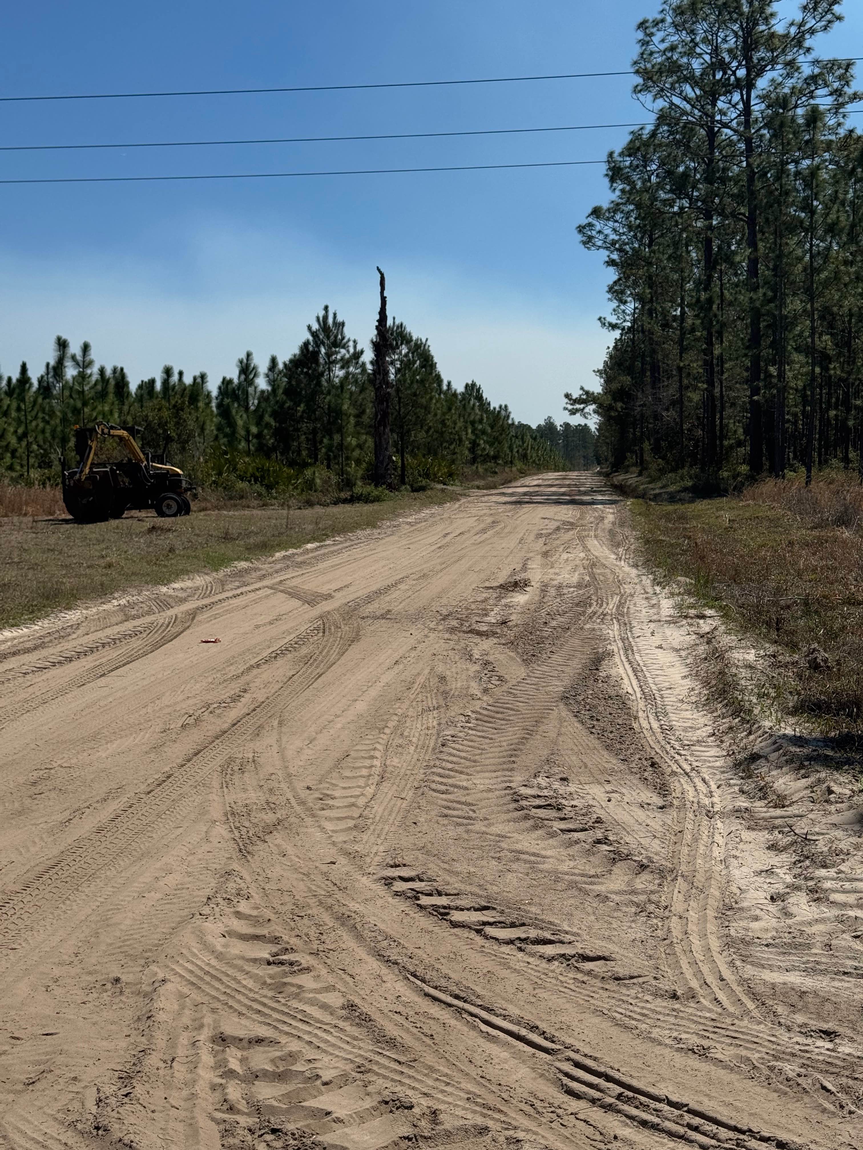
Frog Pond Road trail is an interesting winding trail through pine forest that features its namesake, Frog Pond, about a half mile from its eastern end at the intersection with Yates Spring Road. Several sections also feature mature oaks with plenty of Spanish Moss to make for a picturesque drive. There is a section skirting the lower reaches of Silver Lake that forms a dike structure to maintain water levels in Silver Lake. This dike area provides excellent views of the lake, but is only one lane wide, so be mindful of other vehicles needing to pass. The trail is packed dirt and is typically in very good shape, so travel in two-wheel drive vehicles shouldn't be a problem. Frog Pond has a hard surface boat ramp with a floating dock structure. There are floating feeders placed in the lake to support fish populations for fishing. As with most Georgia WMAs, a valid hunting or fishing license is required to access the WMA property.
Photos of Frog Pond Road
Difficulty
The trail is one vehicle wide with plenty of spots to pass.
Status Reports
Frog Pond Road can be accessed by the following ride types:
- High-Clearance 4x4
- SUV
Frog Pond Road Map
Popular Trails
Hightower Loop Trail E

Panther Creek Road
Dubignon Hammock Road
Sansavilla Road
The onX Offroad Difference
onX Offroad combines trail photos, descriptions, difficulty ratings, width restrictions, seasonality, and more in a user-friendly interface. Available on all devices, with offline access and full compatibility with CarPlay and Android Auto. Discover what you’re missing today!