FS 156A
Total Miles
0.7
Technical Rating
Best Time
Fall, Winter, Summer, Spring
Trail Type
Full-Width Road
Accessible By
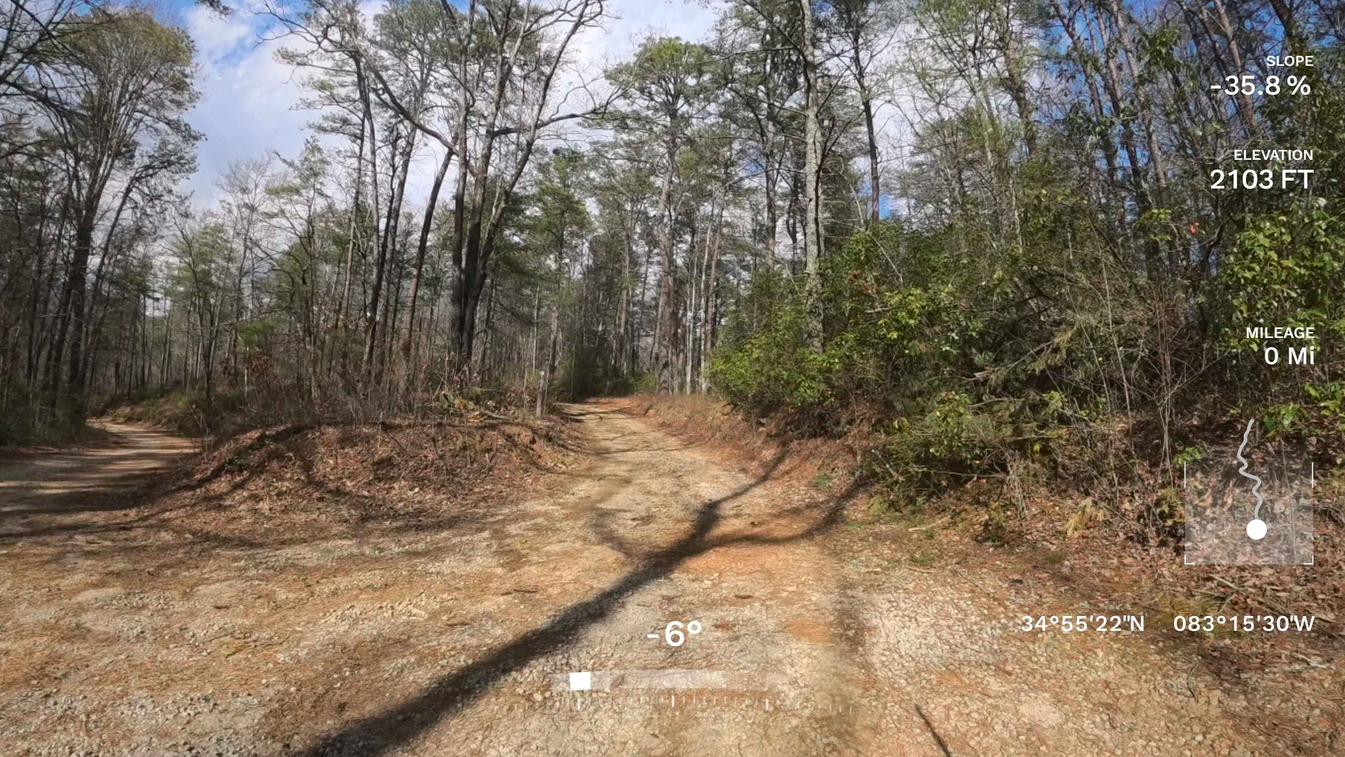
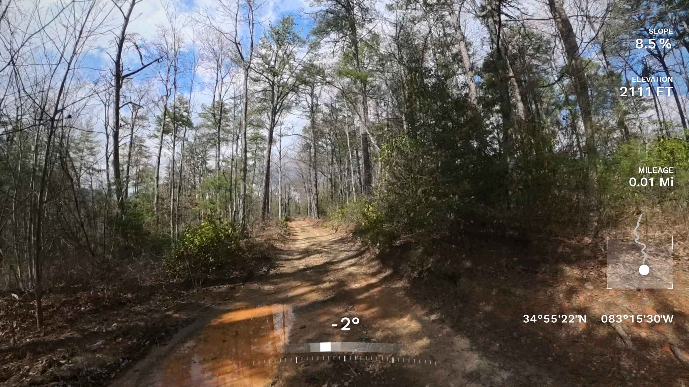
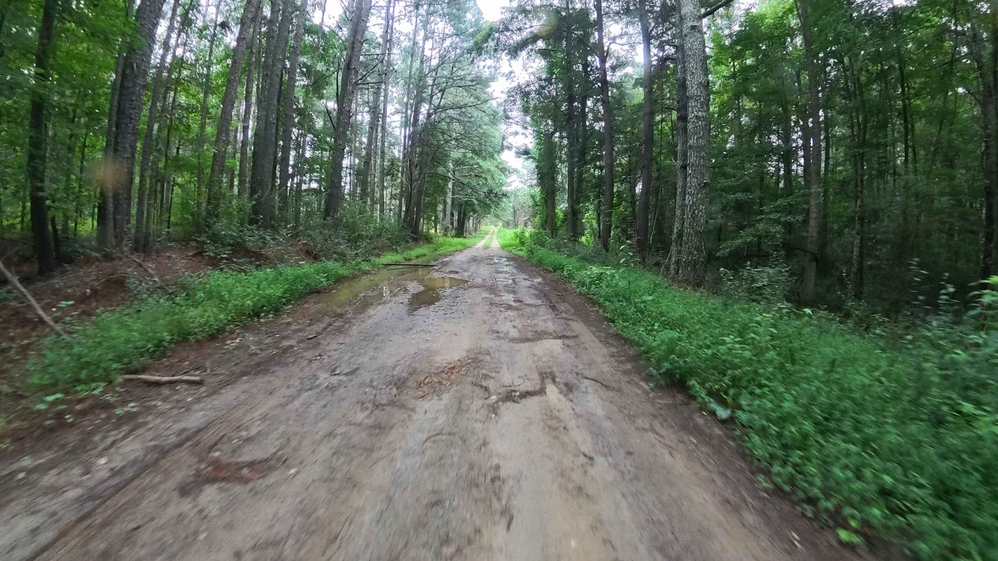
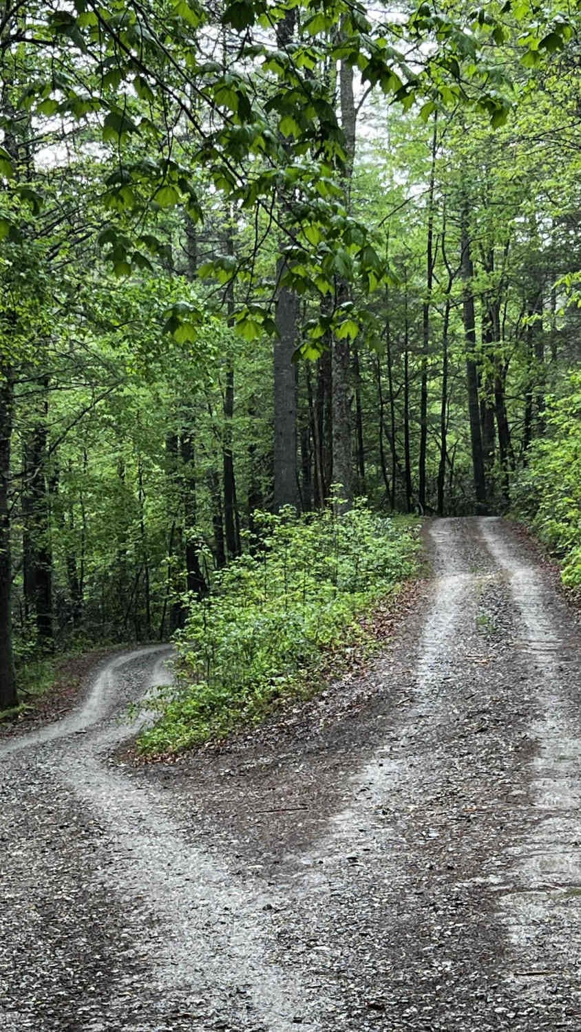
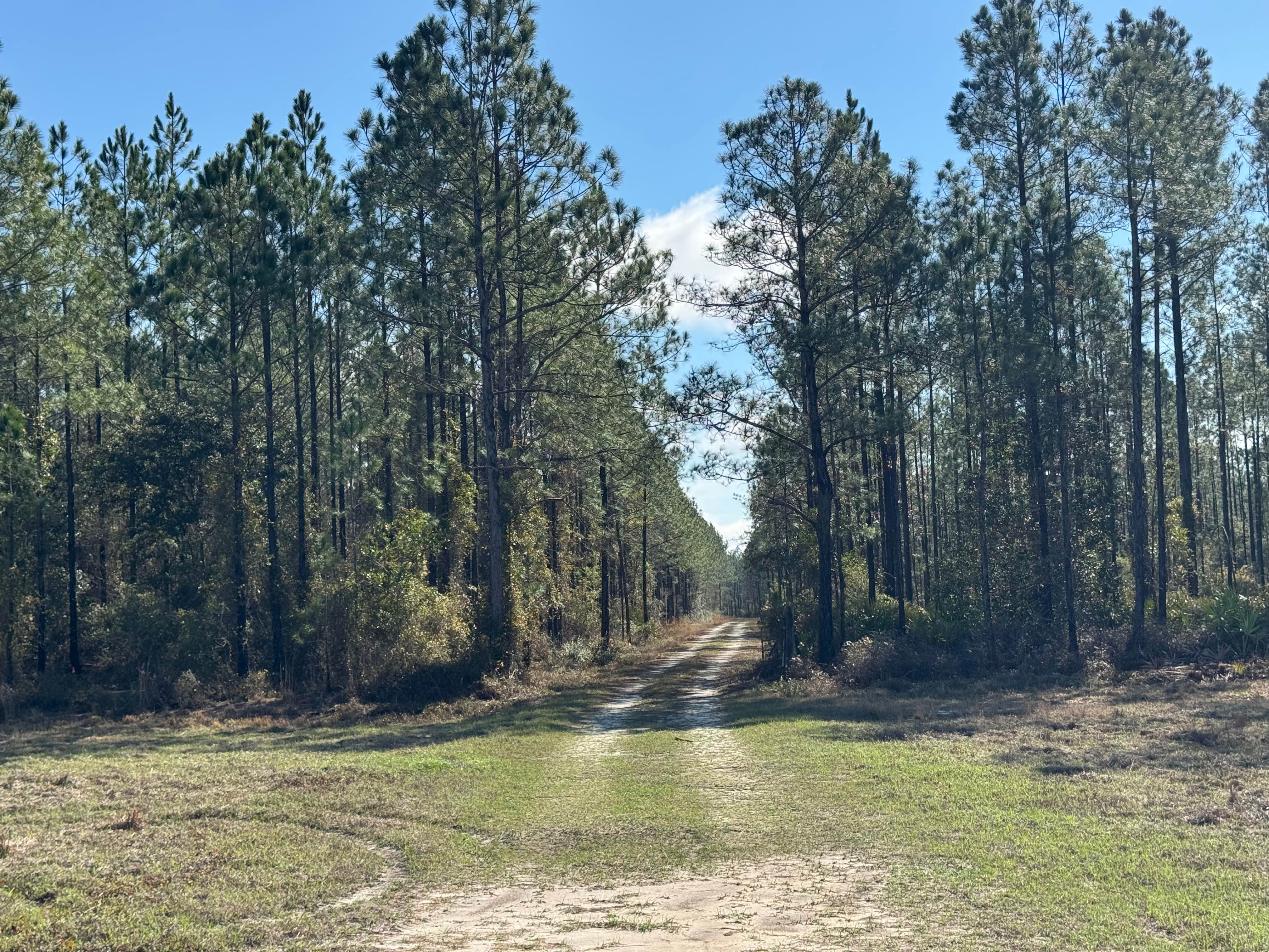
Trail Overview
This is an out-and-back side trail from the famous FS 156-Sarahs Creek, that follows a relatively easy, mostly single-lane gravel and dirt road through scenic sections of the Warwomen Wildlife Management Area. Along the route, you may encounter a few small washouts and a few moderate mud/water puddles typical of Forest Service roads. However, there are no major obstacles, and most high-clearance vehicles should be able to travel the road without difficulty. This area, being on a WMA, typically requires a fishing, hunting, or land pass license to be on these trails. At the end of this trail is a locked gate that is open from 11/10 to 11/15 and 12/1 to 12/6. The area is quiet and remote, with minimal traffic and natural surroundings that make for a relaxing drive or exploration. Cell phone service can be sporadic or unavailable, so it is recommended to plan ahead and bring any supplies you may need in case of an emergency.
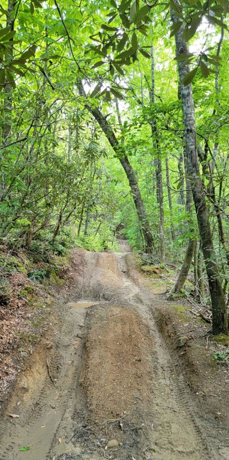
Photos of FS 156A
Difficulty
This trail is primarily single-lane, with a few designated pull-off areas that allow vehicles to safely pass when needed. While most of the route is manageable, there are a few sections where lower-clearance vehicles may risk bottoming out due to uneven terrain. Vehicles with higher ground clearance should have no trouble navigating the trail.
Status Reports
FS 156A can be accessed by the following ride types:
- High-Clearance 4x4
- SUV
FS 156A Map
Popular Trails
Dan Gun - FS 1016
Burnette Creek FS Road 261
Clay Hill Road
Gold Mine Road (Willis Knob)
The onX Offroad Difference
onX Offroad combines trail photos, descriptions, difficulty ratings, width restrictions, seasonality, and more in a user-friendly interface. Available on all devices, with offline access and full compatibility with CarPlay and Android Auto. Discover what you’re missing today!