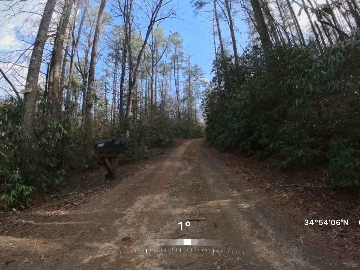
Trail Overview
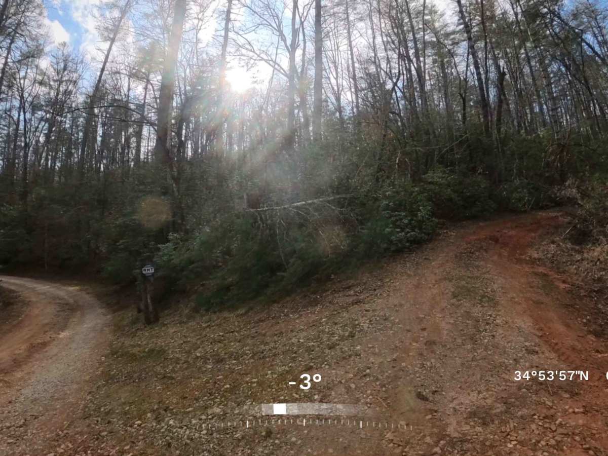
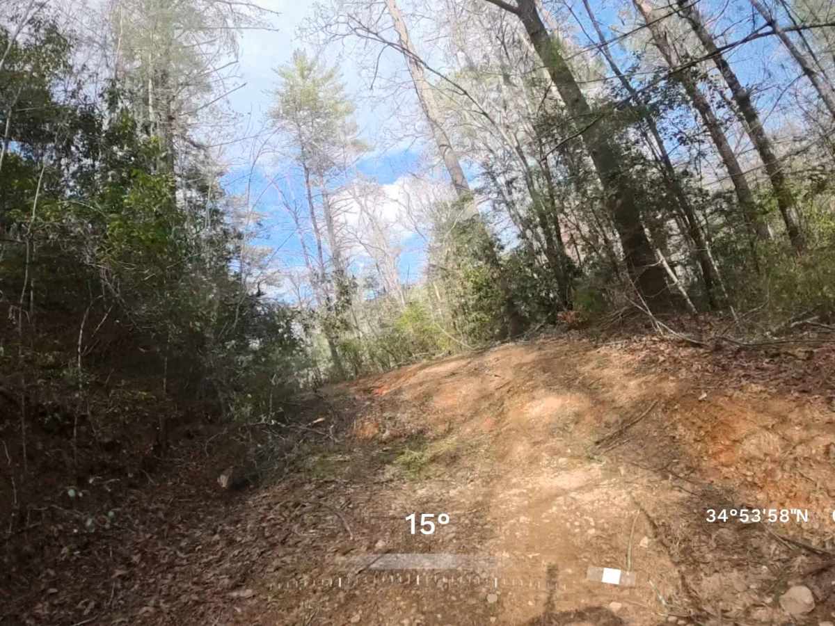
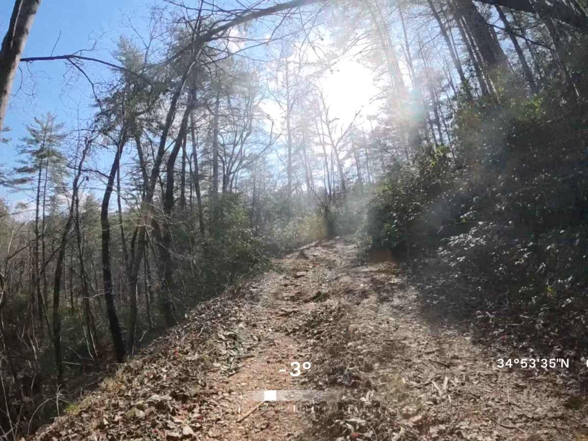
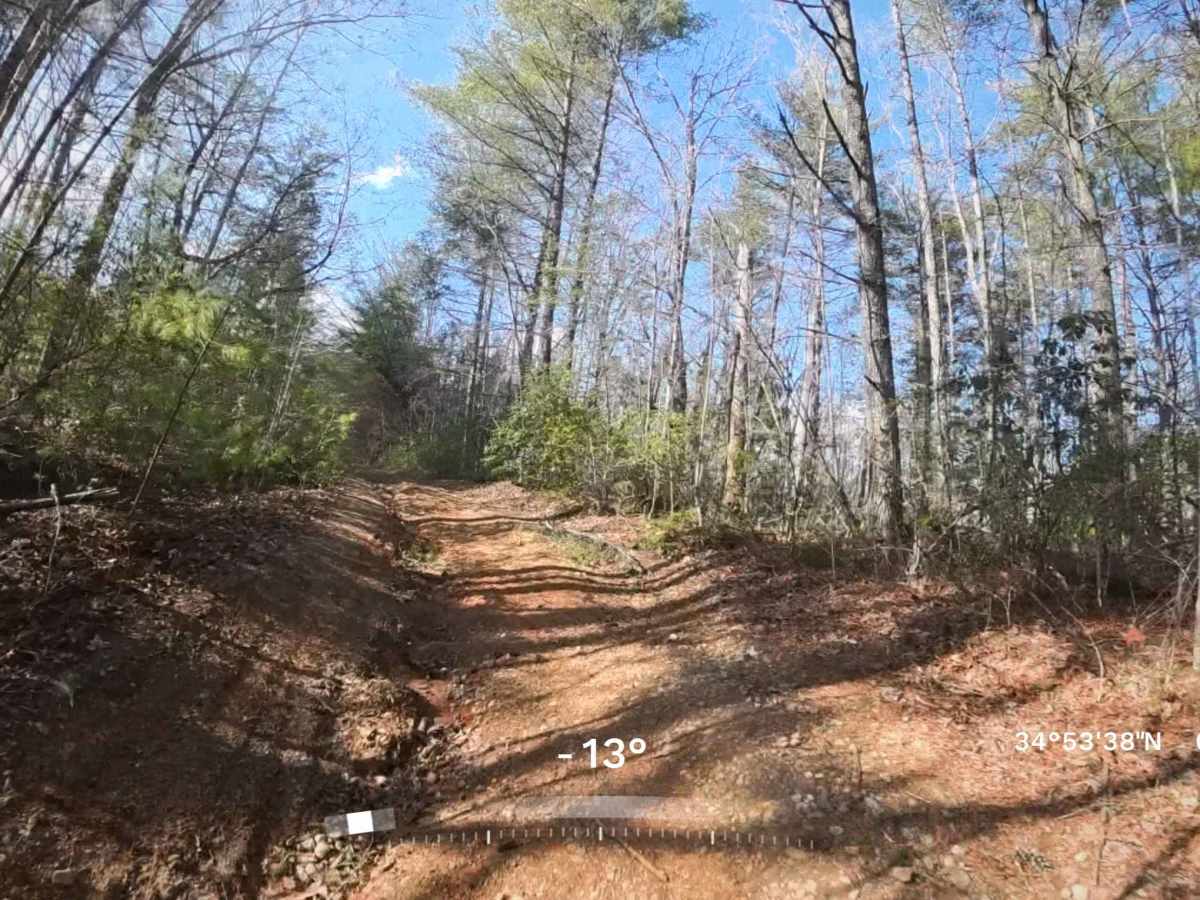
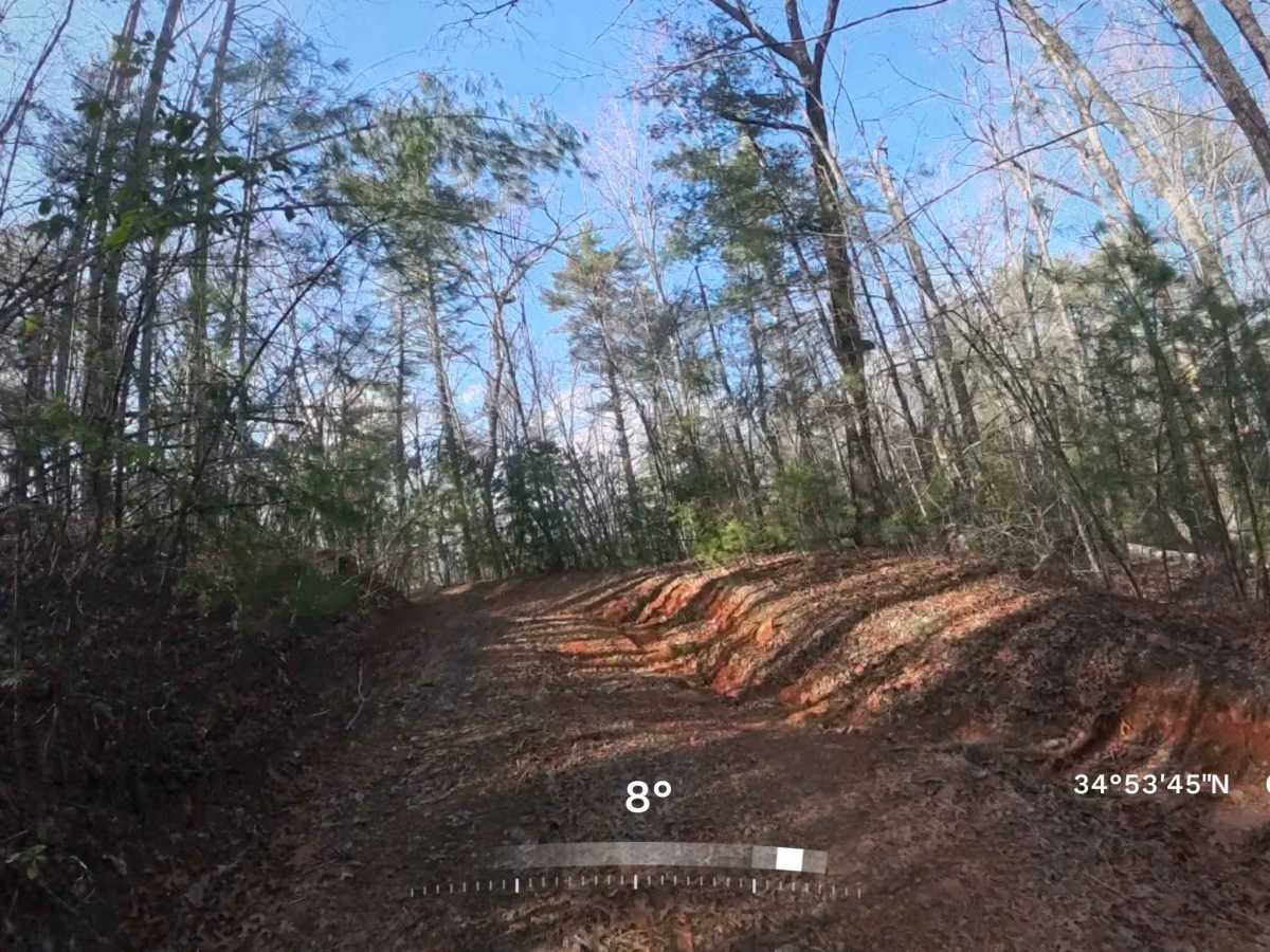
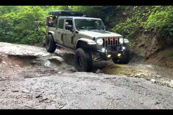
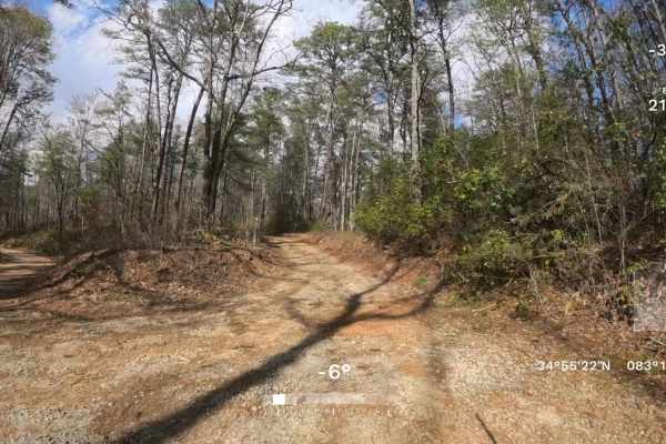
This is an out-and-back side trail from the famous Earls Ford Road, that follows a moderate, mostly single-lane gravel and dirt road through scenic sections of the Chattooga River Ranger District. At the fork towards the beginning of the trail, be sure to stay to the right so you don't trespass onto private property. Along the route, you may encounter a few medium sized washouts and a some mud/water puddles that could give some a challenge. Along the trail, it might become slightly narrow and there is a possibility of light pinstriping. There are no major obstacles, and most high-clearance vehicles should be able to travel the road without much difficulty especially during dry seasons. This area, being on a national forest does not require a fishing, hunting or land pass license to be on these trails. Towards the end of the trail is a large tree down with not much turn around area, so take necessary precautions if traveling with a group of vehicles.. The area is quiet and remote, with minimal traffic and natural surroundings that make for a relaxing drive or exploration. Cell phone service can be sporadic or unavailable, so it is recommended to plan ahead and bring any supplies you may need in case of an emergency.
Difficulty
This trail is a single-lane route with a few pull-off areas where vehicles can safely pass one another. There are a few medium-sized washout areas and water/mud holes along the trail, but they are easily navigable by most vehicles and most can be bypassed. During dry conditions, most higher-clearance vehicles should still be able to navigate the trail, but during wet conditions, 4WD will most likely be necessary.