Flat Hole Loop
Total Miles
7.2
Technical Rating
Best Time
Spring, Summer, Fall, Winter
Trail Type
Full-Width Road
Accessible By
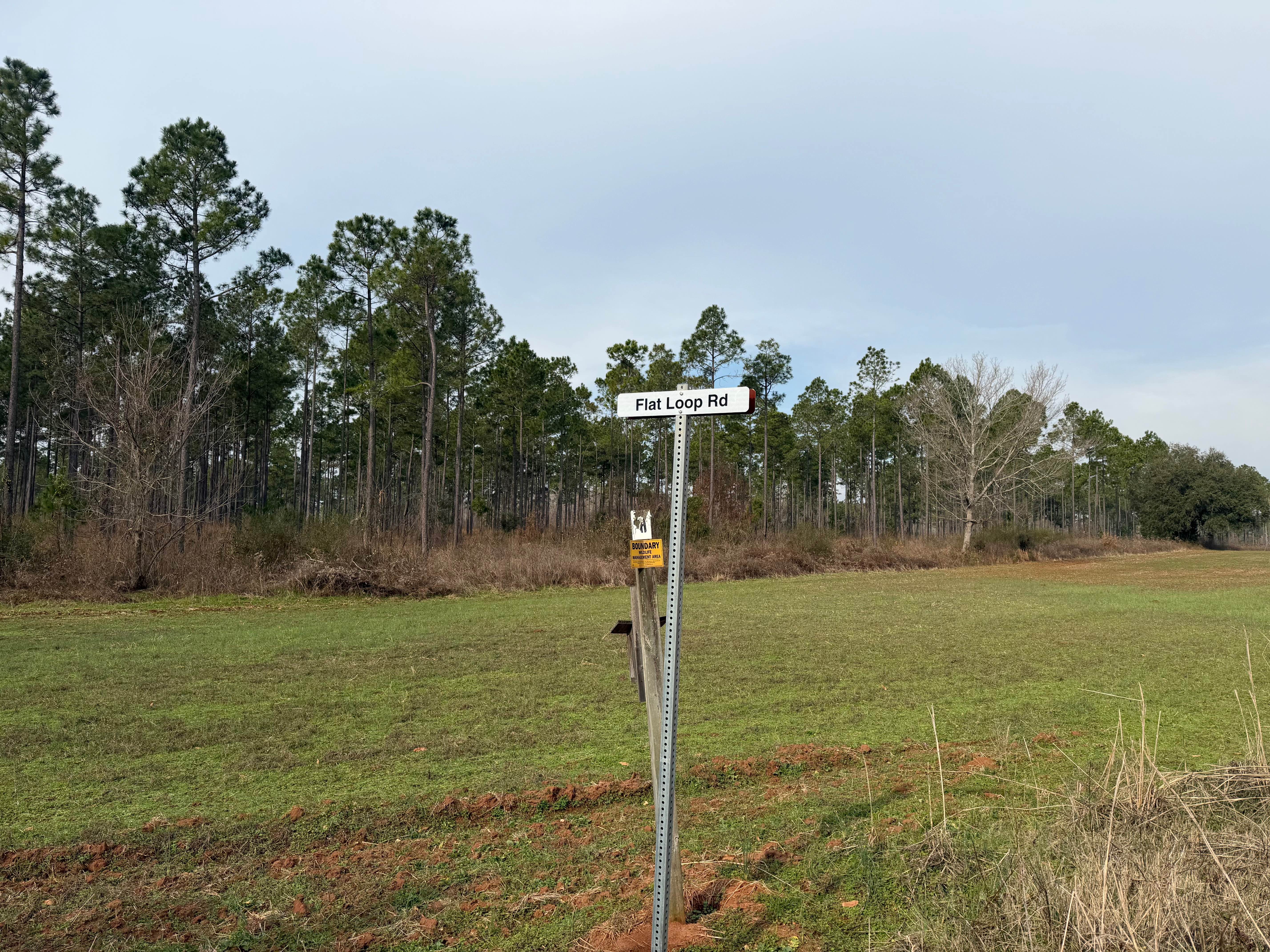
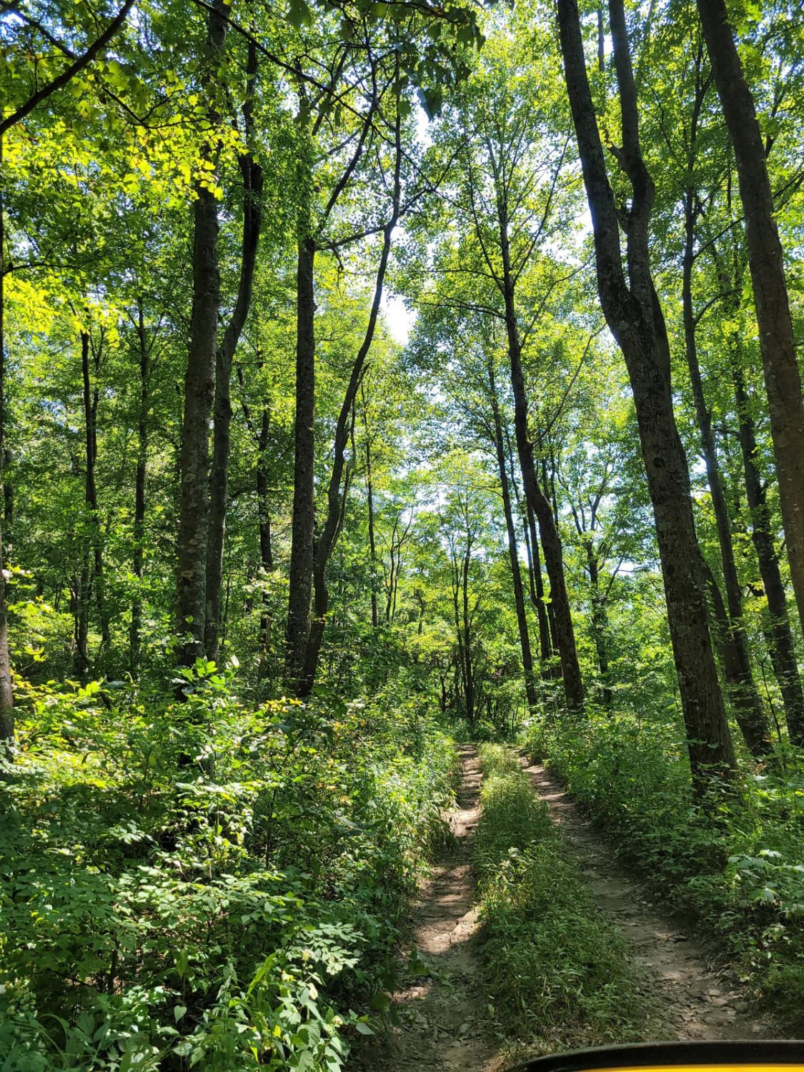
Trail Overview
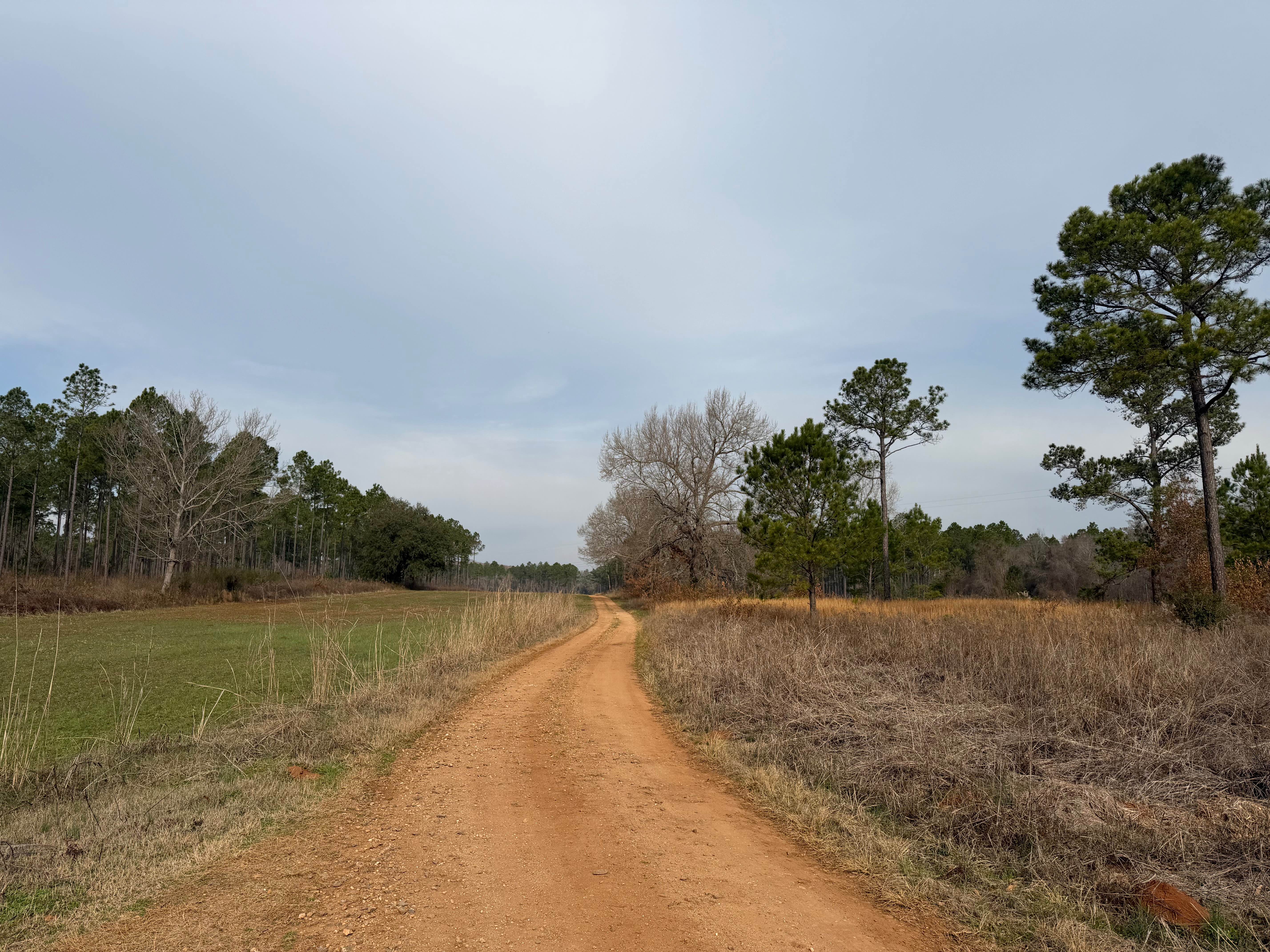
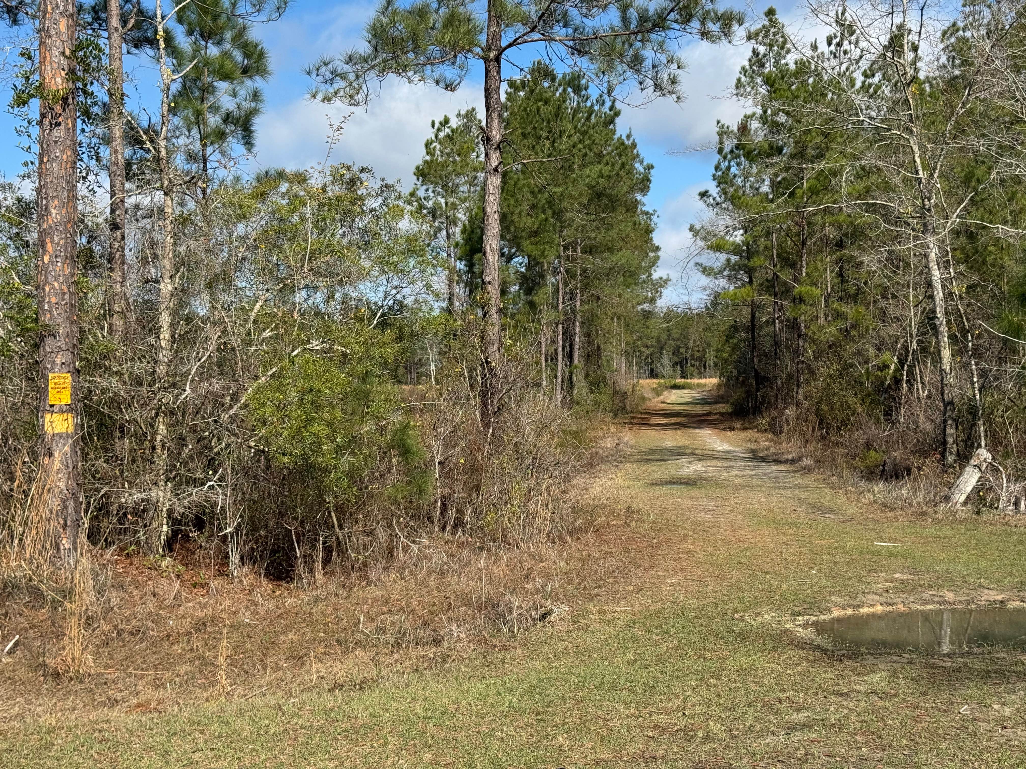
Flat Hole Loop runs through the southeastern quadrant of the Chickasawhatchee Wildlife Management Area (WMA). Only street-legal, registered, and licensed vehicles are permitted. Additionally, the Georgia Department of Natural Resources (GADNR) requires individuals to be in possession of the Georgia Lands Pass when entering or accessing state WMA's. GADNR accepts all valid Georgia hunting or fishing licenses in lieu of the Lands Pass. This applies to both residents and non-residents. Purchasing a fishing or hunting license in most cases is less expensive than the Lands Pass. Licenses and the Lands Pass can be purchased through GADNR's website at www.gooutdoorsgeorgia.com or using the following link to the licensing page. https://license.gooutdoorsgeorgia.com/Licensing/CustomerLookup.aspx . Flat Hole Loop varies between a gravel trail and one of red clay/sand. The eastern portion of the trail starts off as a loose granite gravel trail. This remains for approximately the first two and a half miles. Then the trail transitions into red clay/sand. The clay/sand can be loose and soft or hard and compacted. Following rain, snow melt, and storms, deep pockets of clay or mud may be encountered. In addition to the mud and clay, there is the potential of water crossings or standing water up to 12 inches. These conditions may make the trail impassable for most low-clearance or 2WD vehicles. When conditions are dry, it can be traveled with most low-clearance or 2WD vehicles. The trail is mostly single vehicle wide with areas to pull to the side for passing.
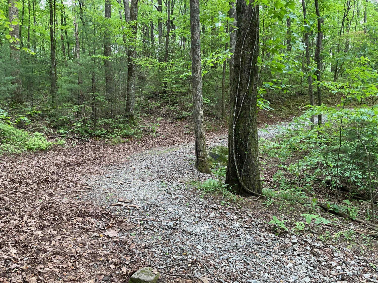
Photos of Flat Hole Loop
Difficulty
Unimproved, uneven, rutted, gravel and caly/sand trail with potential for loose debris (e.g. rock, tree branches, washes, etc.). The trail is mainly single vehicle wide with areas to pass. Seasonal water crossings 12 inches deep or more, areas of loose sand, potential for mudholes or obstacles up to 12 inches. Following storms or seasonal weather events, the trails may go unmaintained.
Status Reports
Flat Hole Loop can be accessed by the following ride types:
- High-Clearance 4x4
- SUV
- Dirt Bike
Flat Hole Loop Map
Popular Trails
Violet Drive
Penfield Hunt Camp Road
Cohutta Wilderness
Blue Mountain Spring - FS 639
The onX Offroad Difference
onX Offroad combines trail photos, descriptions, difficulty ratings, width restrictions, seasonality, and more in a user-friendly interface. Available on all devices, with offline access and full compatibility with CarPlay and Android Auto. Discover what you’re missing today!