FS-44A Upper Low Gap Creek
Total Miles
0.2
Technical Rating
Best Time
Spring, Summer, Fall
Trail Type
Full-Width Road
Accessible By
Trail Overview
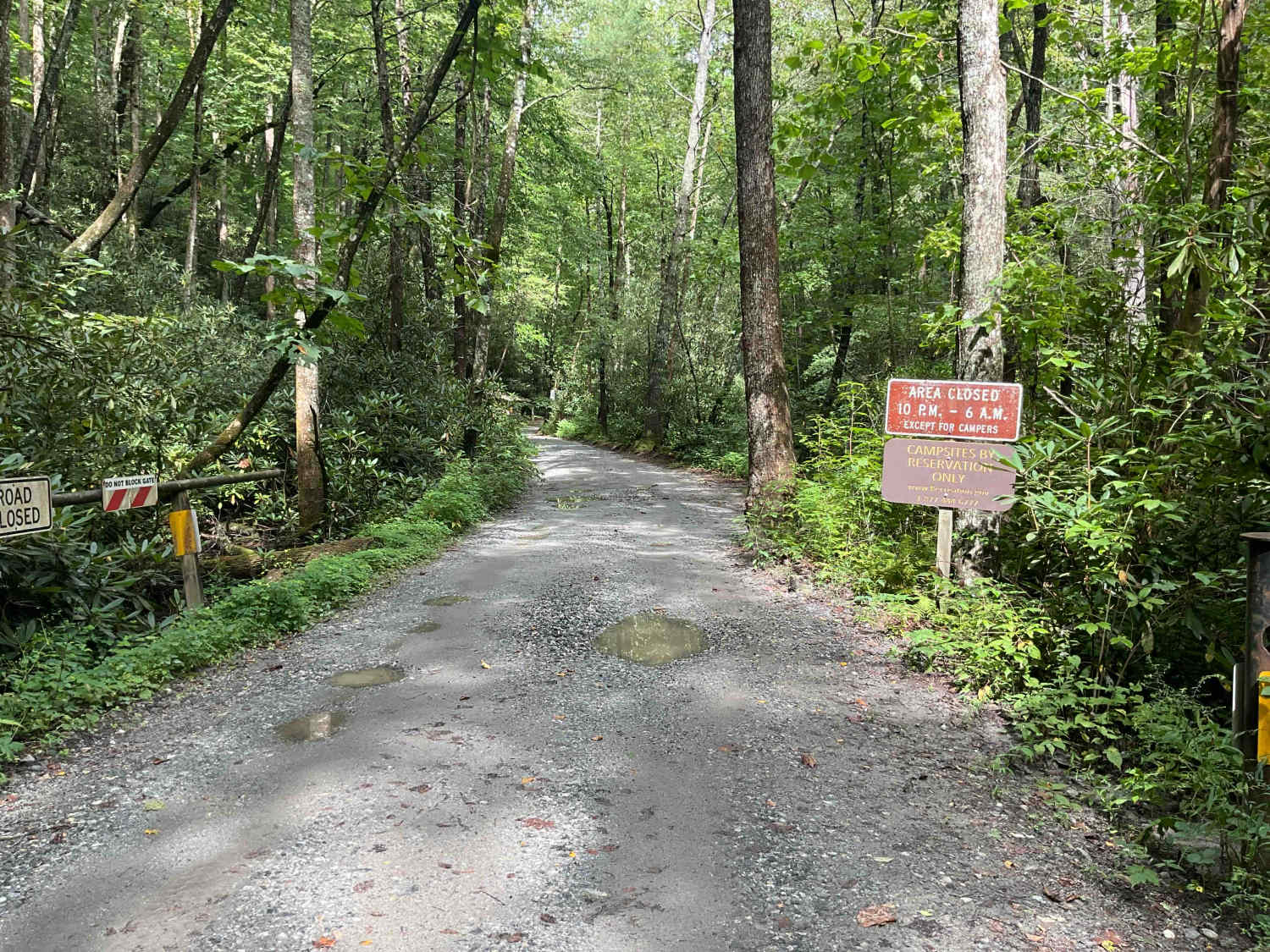
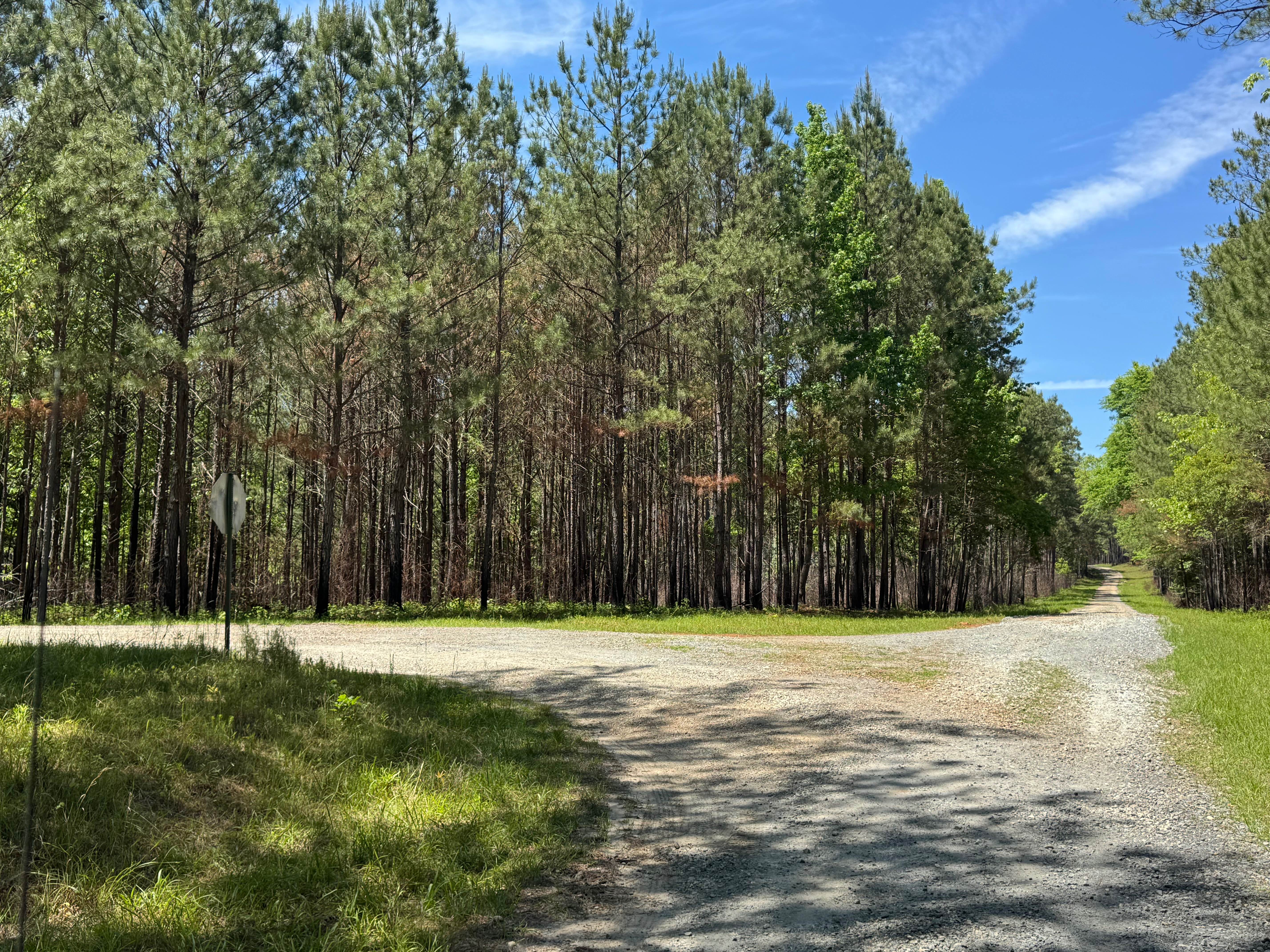
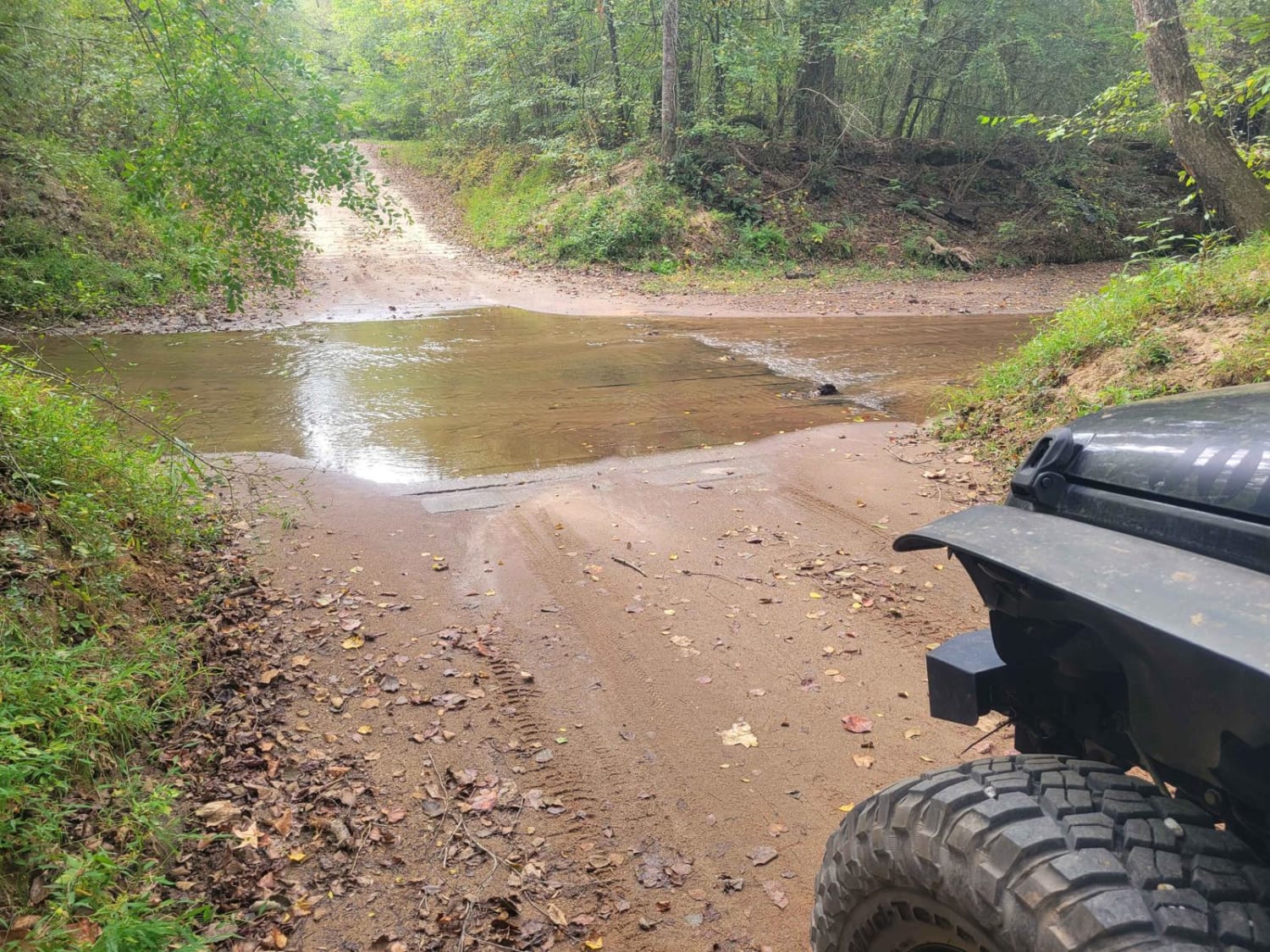
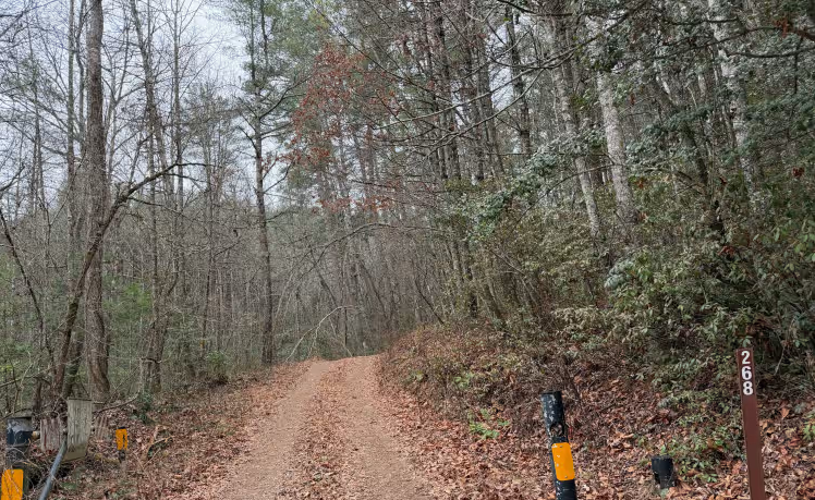
FS-44A, Upper Low Gap Creek, is the first spur located on FS-44 coming from Poplar Stump Rd. Low Gap Campground is located within 100 yards after turning onto FS-44A and offers camping, picnicking, and fishing. There are numerous campsites available with tables and fire rings. Low Gap Campground offers one of the only water crossings in the immediate area. Most trucks and SUVs will easily ford the 6-8" deep water to gain access to more campsites and a vault-style toilet. Further exploration of FS-44A is prohibited due to a locked gate on the far side of the campground. A legally licensed vehicle is required to use the forestry road system. Cell service was excellent with Verizon and Google Fi. FS-44A is located within the Chattahoochee WMA and the Chattahoochee National Forest. Contact the Chattooga River Ranger District at 706-754-6221 for questions and closure information. The following roads are also closed currently, so plan your trip accordingly: 44B, 44C, 44D, and FS-178 (Martin Branch).
Photos of FS-44A Upper Low Gap Creek

Difficulty
FS-44A is a gravel-based road with a 6-8 inch water crossing.
FS-44A Upper Low Gap Creek can be accessed by the following ride types:
- High-Clearance 4x4
- SUV
FS-44A Upper Low Gap Creek Map
Popular Trails
Skull Shoal Pass
Vinning - FS 1092
Yellow Mountain Trail - FS 268
The onX Offroad Difference
onX Offroad combines trail photos, descriptions, difficulty ratings, width restrictions, seasonality, and more in a user-friendly interface. Available on all devices, with offline access and full compatibility with CarPlay and Android Auto. Discover what you’re missing today!