Fishing Road
Total Miles
11.0
Technical Rating
Best Time
Spring, Summer, Fall, Winter
Trail Type
Full-Width Road
Accessible By
Trail Overview
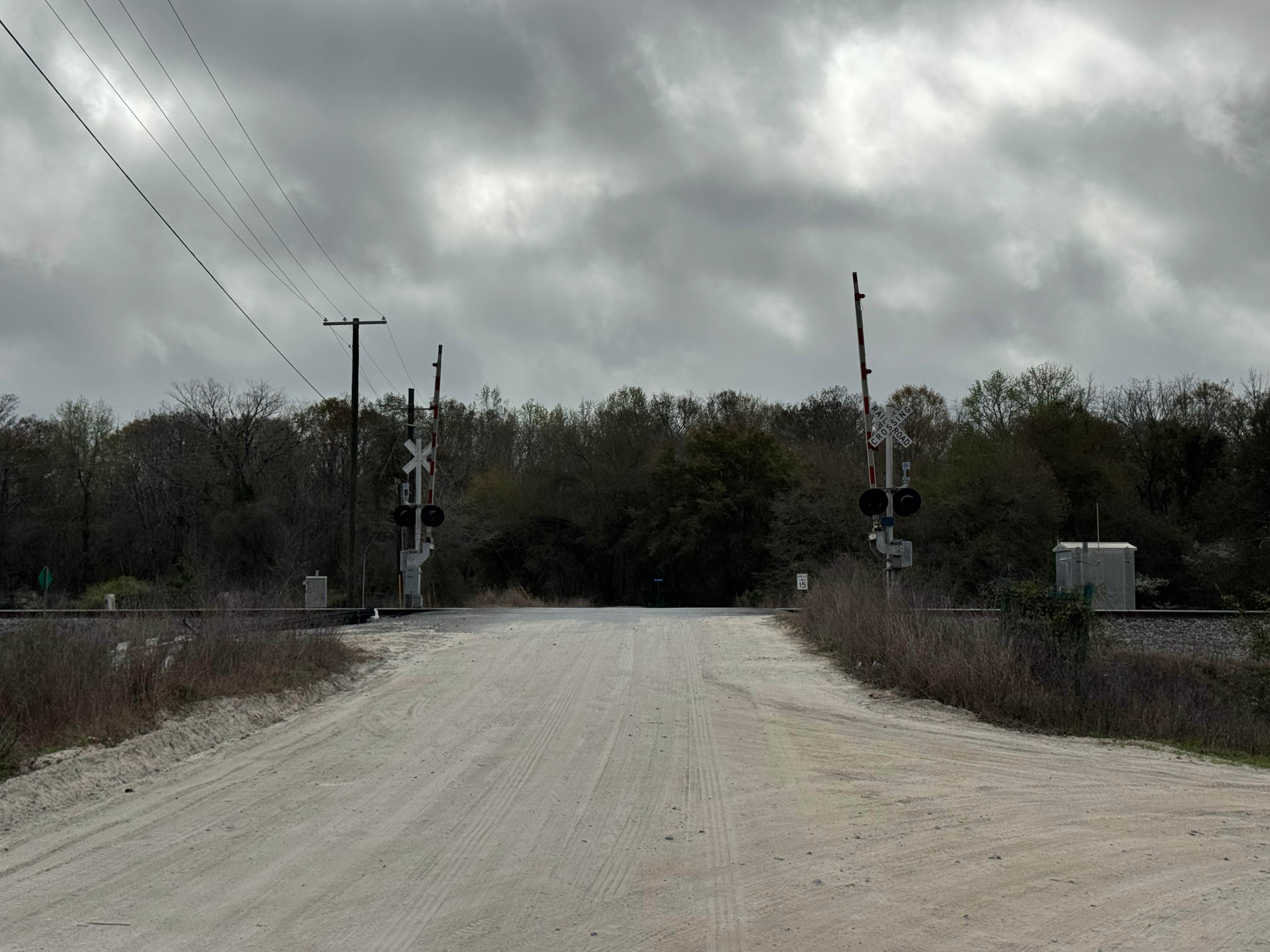
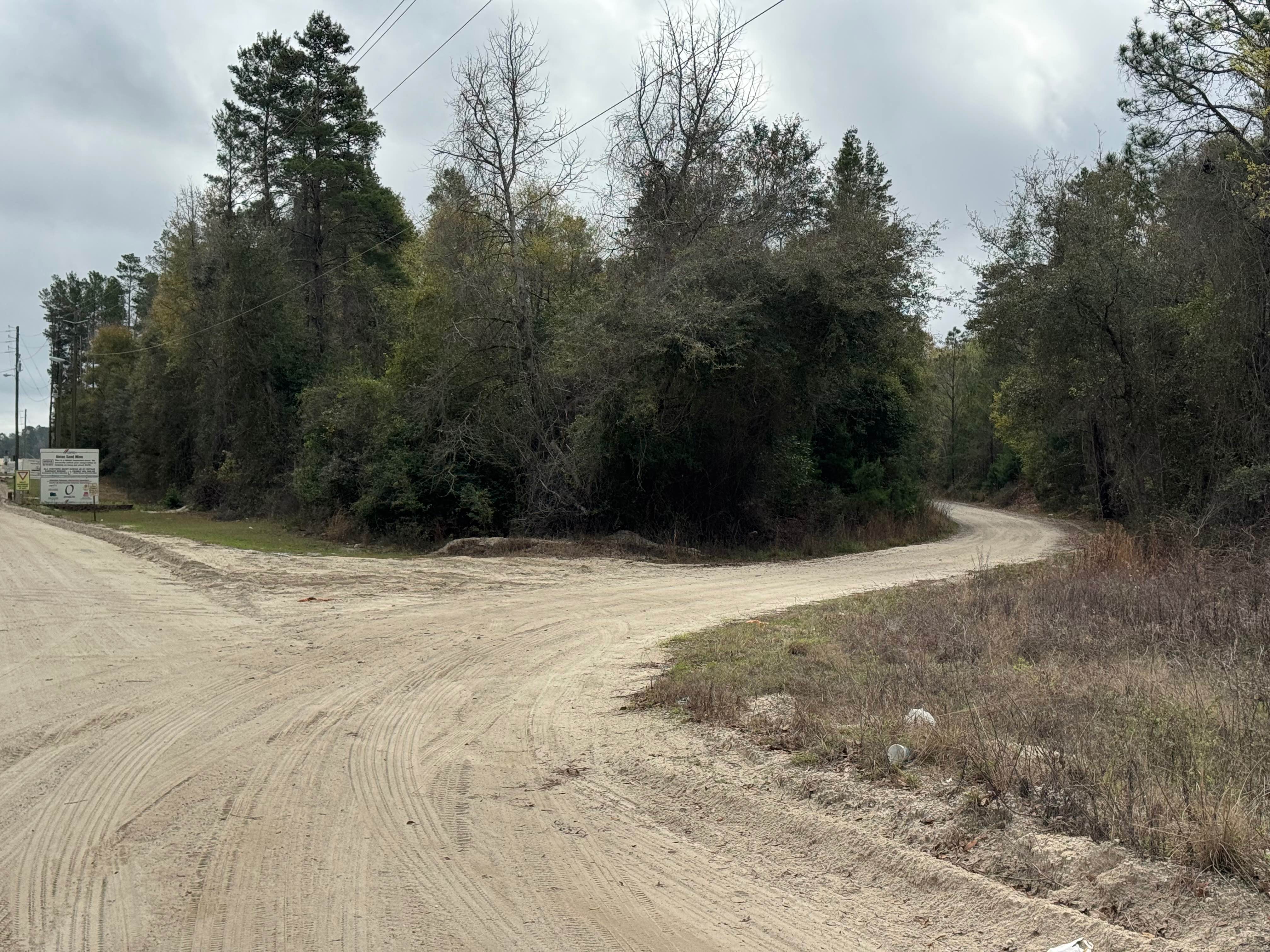
Fishing Road trail is by far the longest offroad trail in the coastal Georgia area at eleven miles one way. It is also the most challenging trail as it has a number of low-lying sections where water from the Altamaha River backs up into the nearby swamp areas and can make the water crossings several feet deep when the river is high. The water crossings have been reinforced with crushed rock, so most of the water crossings seem to have hard bottoms and good traction. The majority of the trail is almost two vehicles wide, so passing is easy. The southern mile or so gets narrower, and the crushed rock base thins out, reducing traction in spots. Fishing Road has dozens of unmarked spur trails to explore, as long as they are not designated as no motor vehicles allowed. Fishing Road is entirely within the Townsend WMA, and a valid Georgia Hunting or Fishing license is required to access the trail.
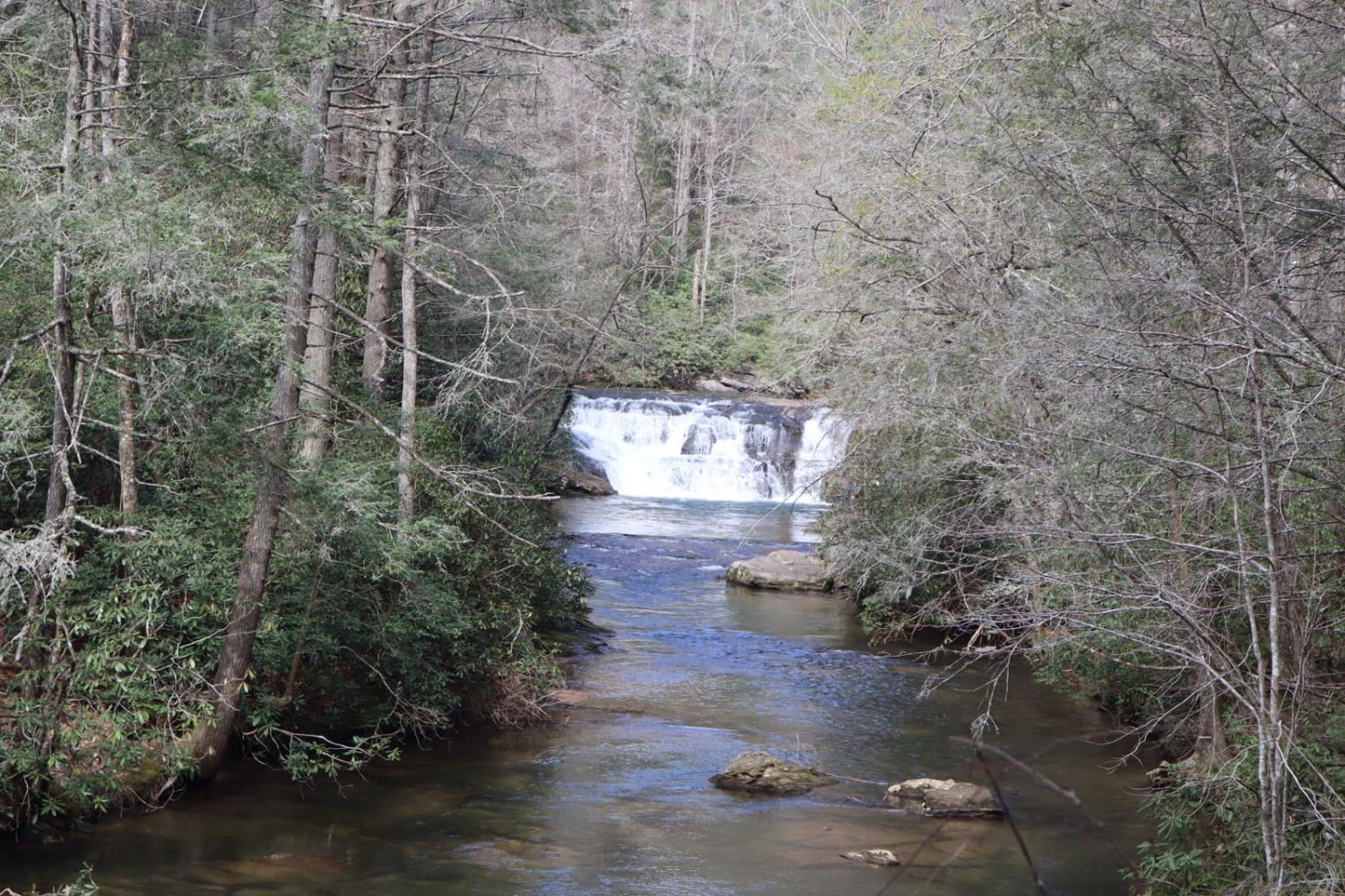
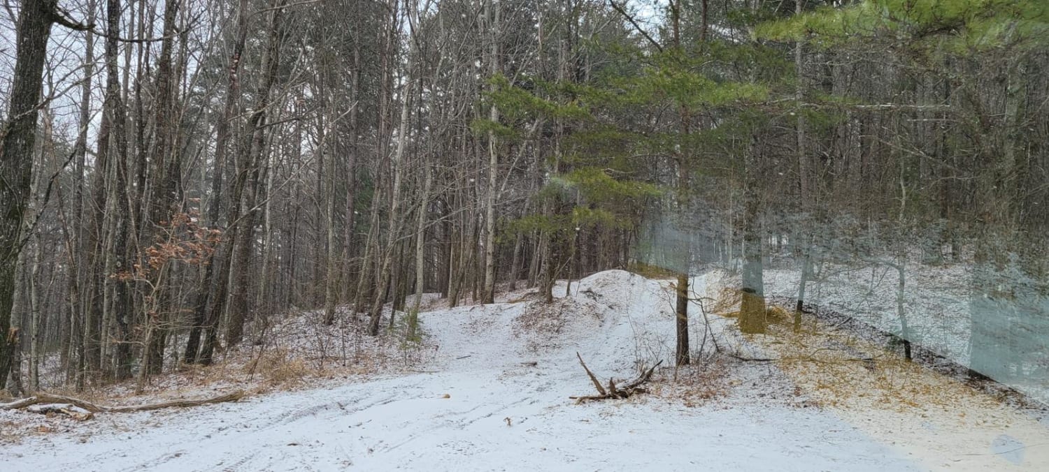
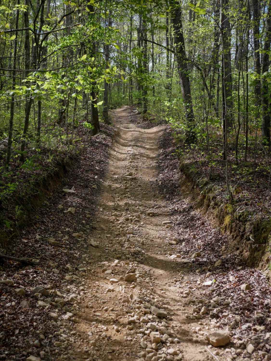
Photos of Fishing Road
Difficulty
Trail itself is generally one vehicle wide with places to pass with a stable base, but several water crossings can get more than 2 feet deep.
Status Reports
Fishing Road can be accessed by the following ride types:
- High-Clearance 4x4
- SUV
Fishing Road Map
Popular Trails
Dicks Creek
Tray Mountain Trail

Oak Grove Methodist Church
The onX Offroad Difference
onX Offroad combines trail photos, descriptions, difficulty ratings, width restrictions, seasonality, and more in a user-friendly interface. Available on all devices, with offline access and full compatibility with CarPlay and Android Auto. Discover what you’re missing today!