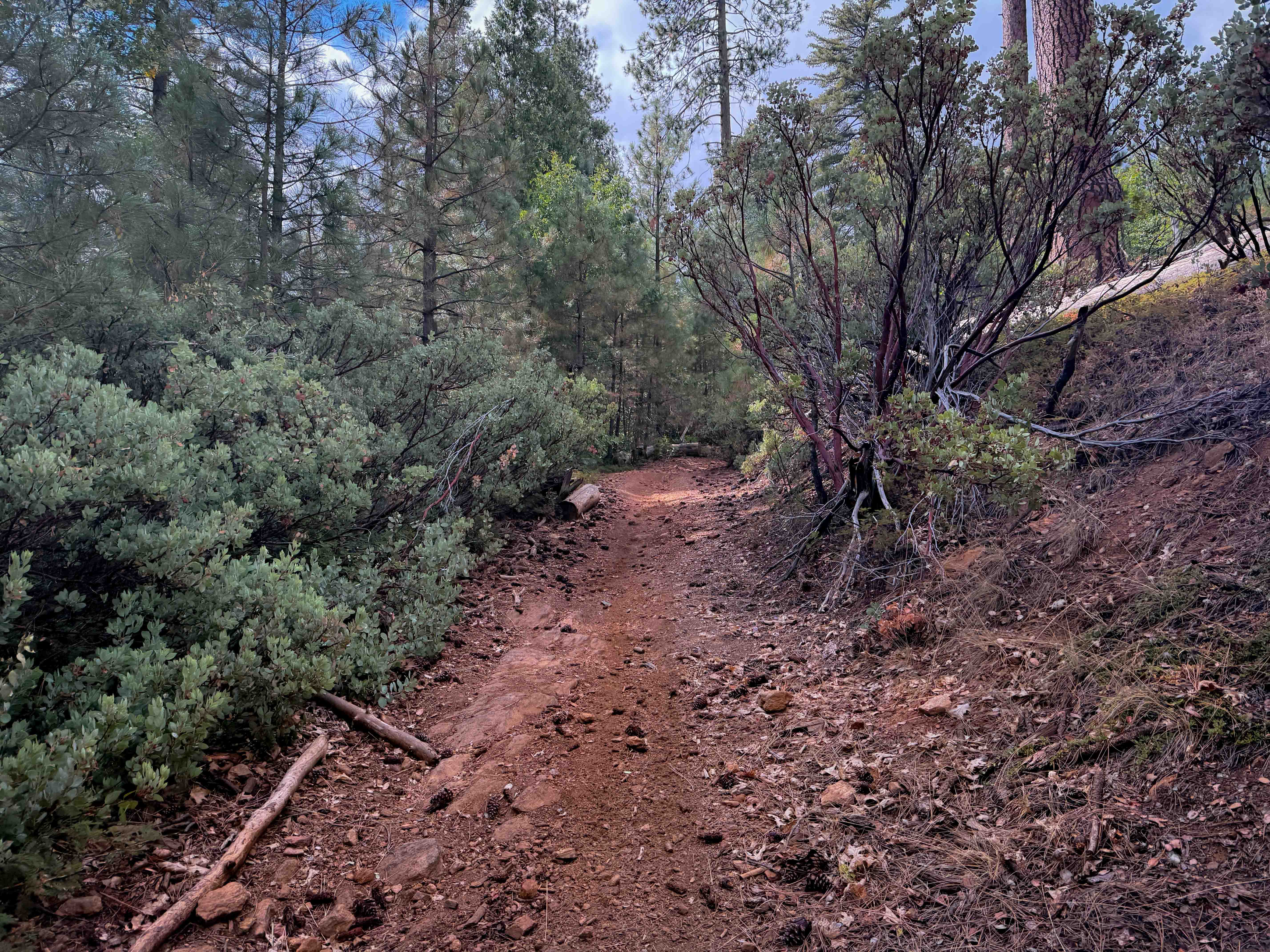
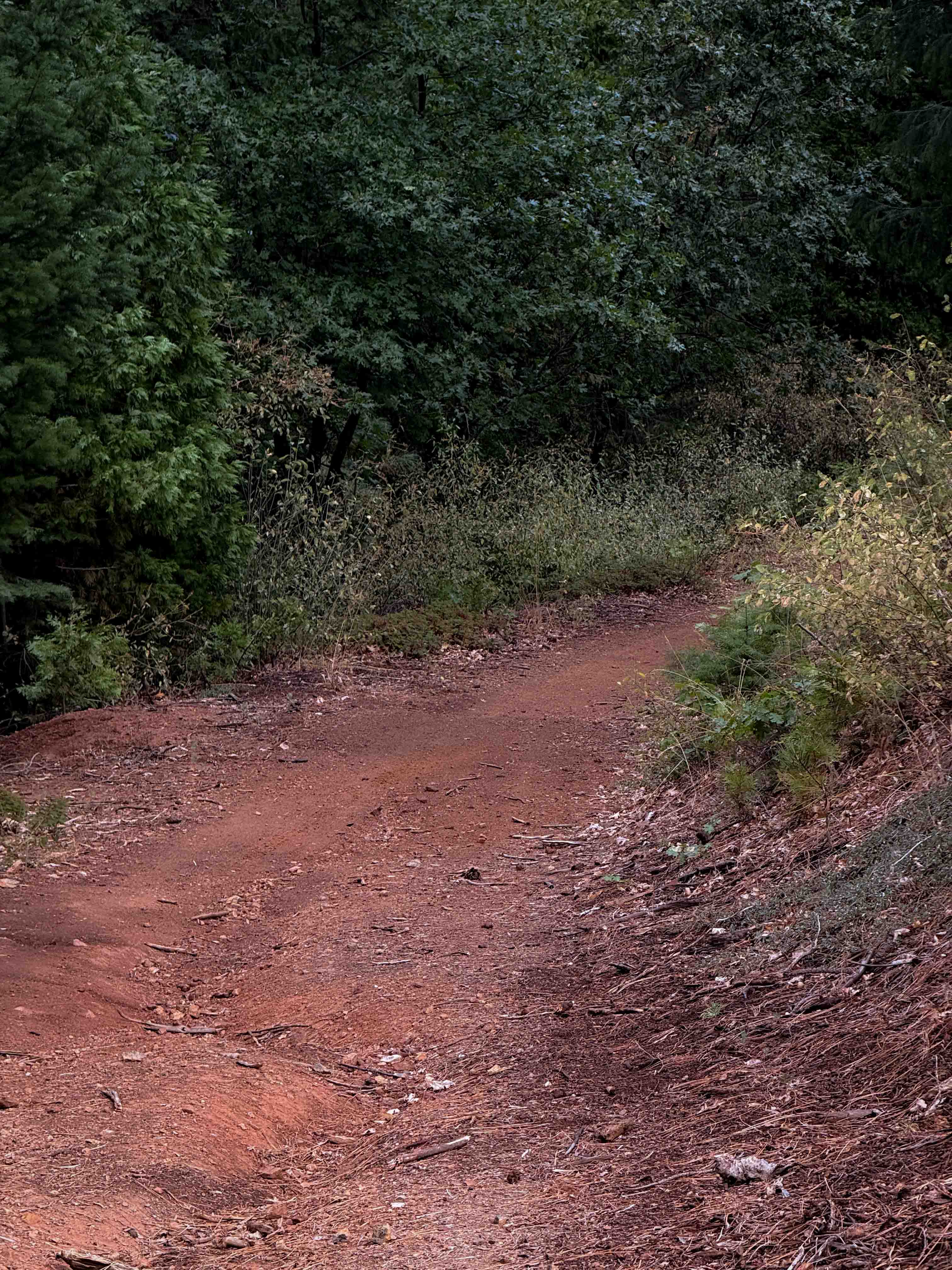
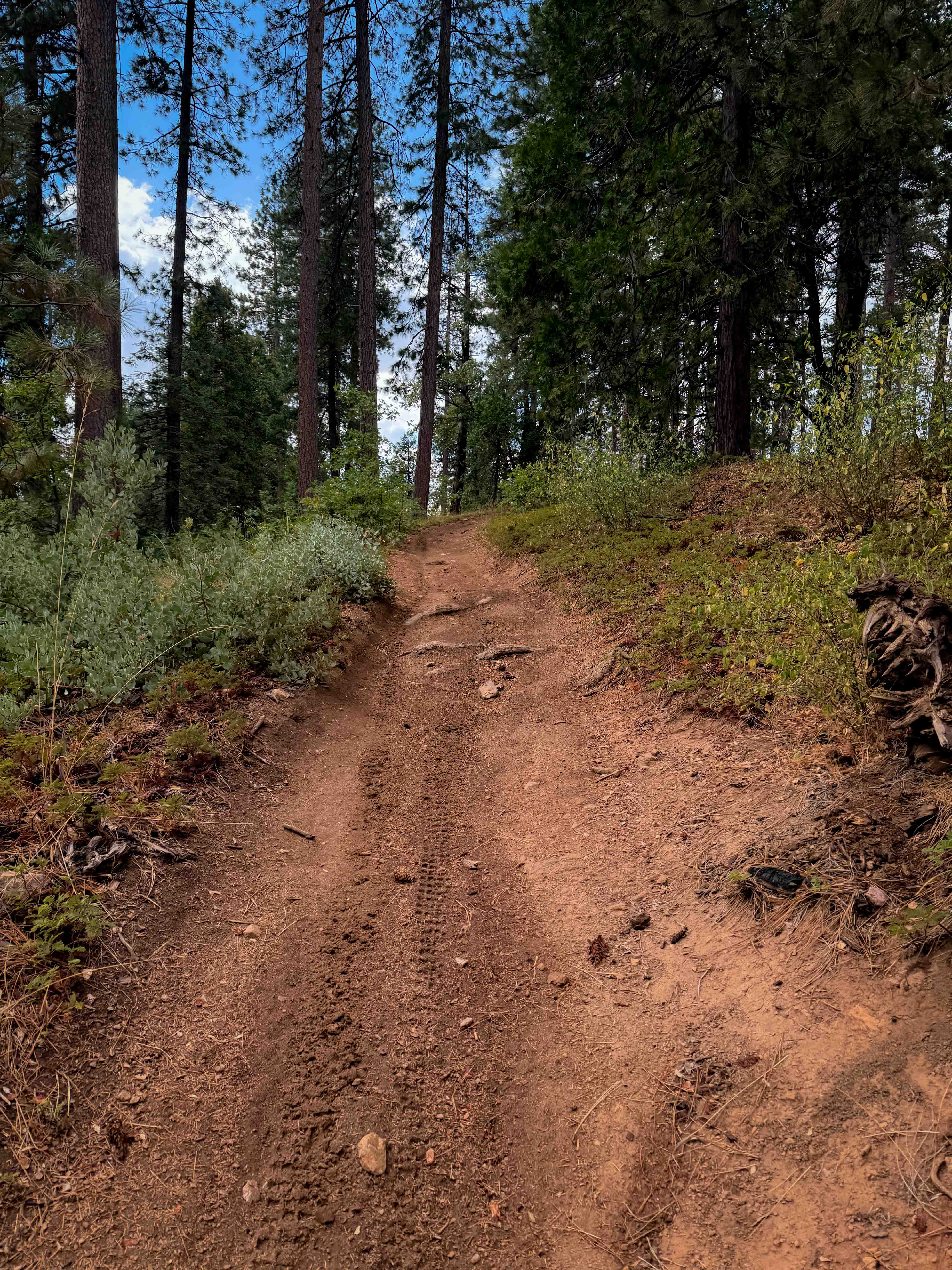
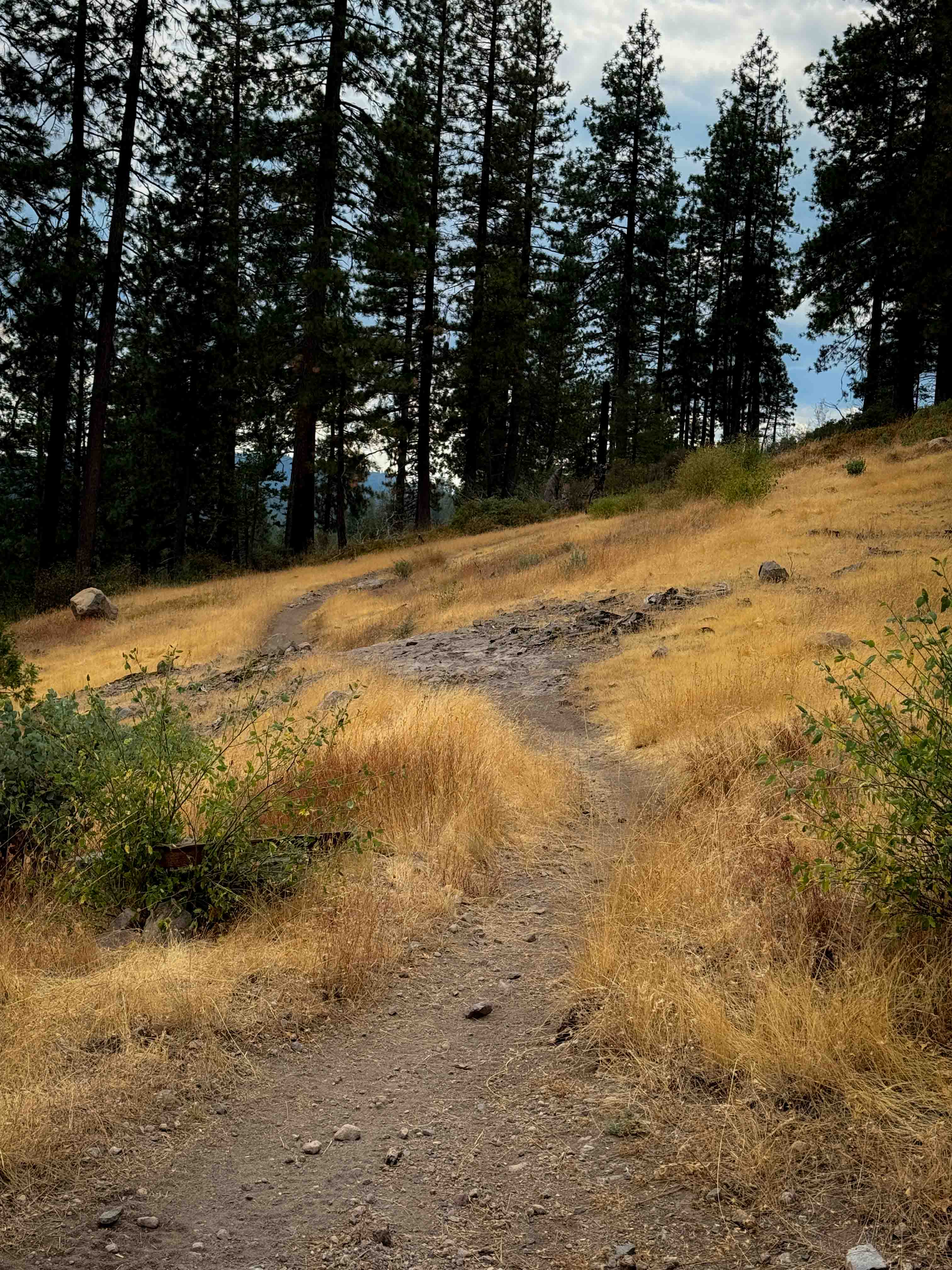
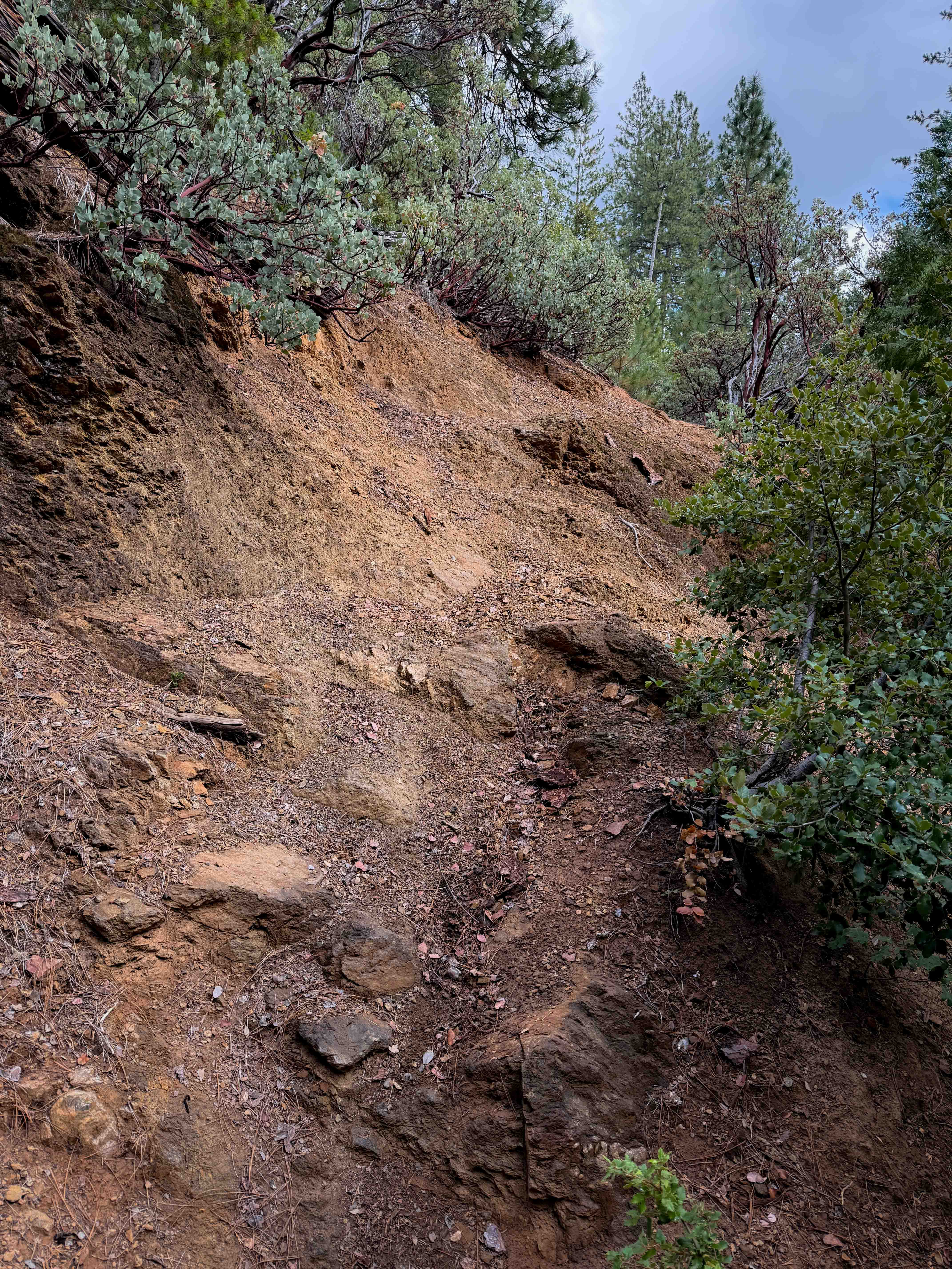
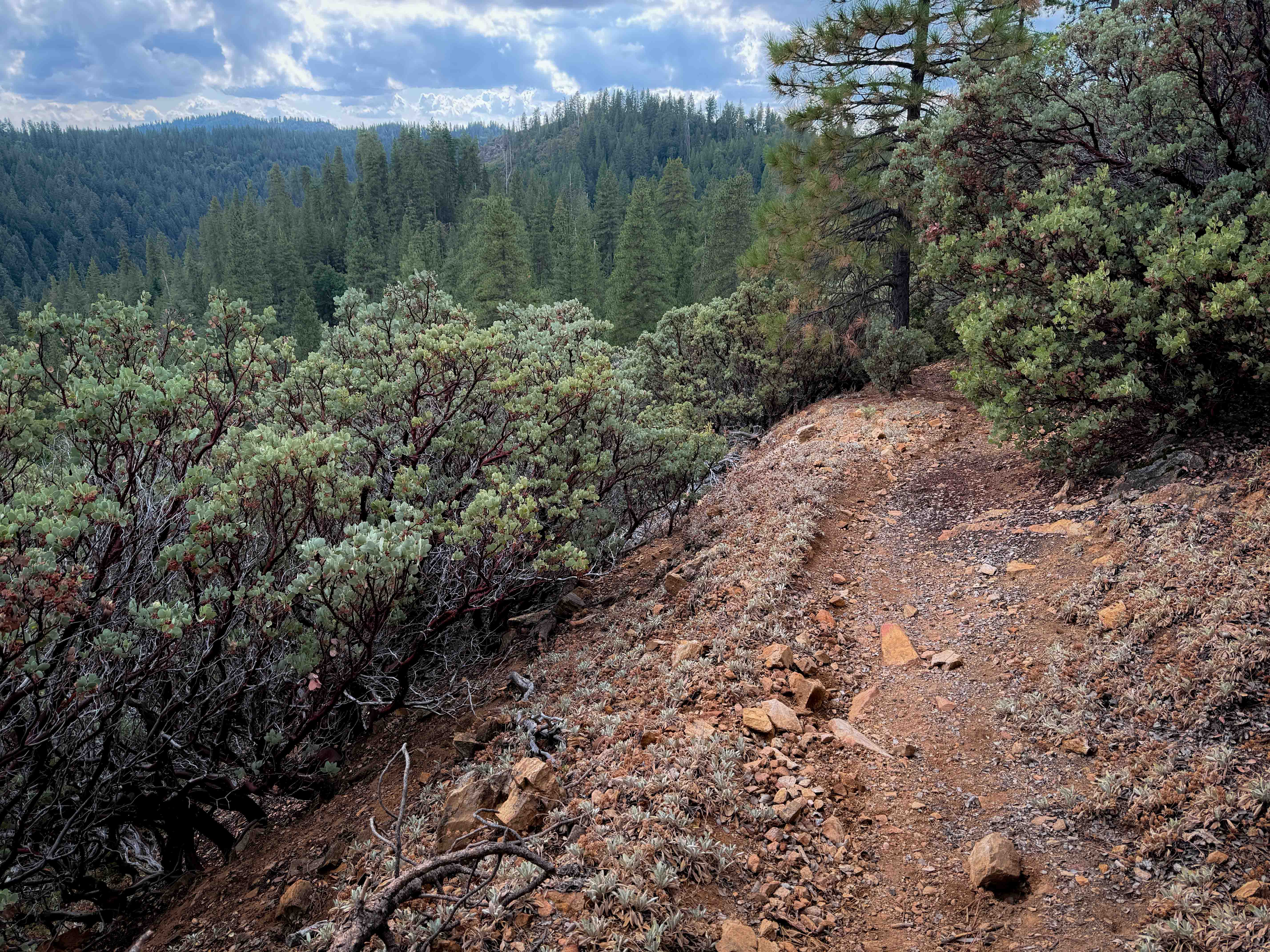
Off-Road Trails in California
Discover off-road trails in California


Learn more about 11S03 Lusardi Truck Trail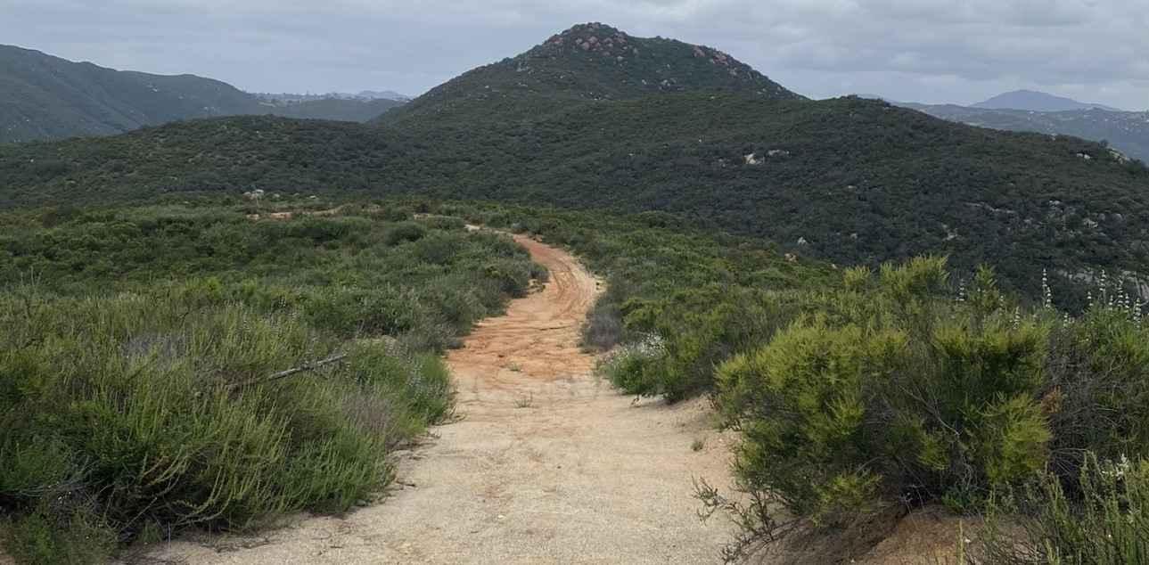
11S03 Lusardi Truck Trail
Total Miles
5.9
Tech Rating
Easy
Best Time
Spring, Summer, Winter
Learn more about 11S04 Black Mountain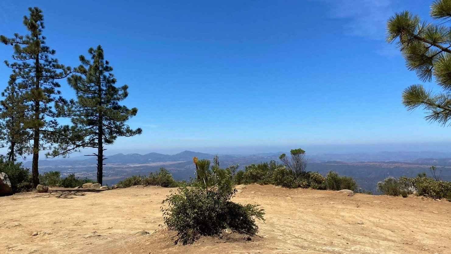
11S04 Black Mountain
Total Miles
5.5
Tech Rating
Easy
Best Time
Spring, Summer, Fall, Winter
Learn more about 15 Lookout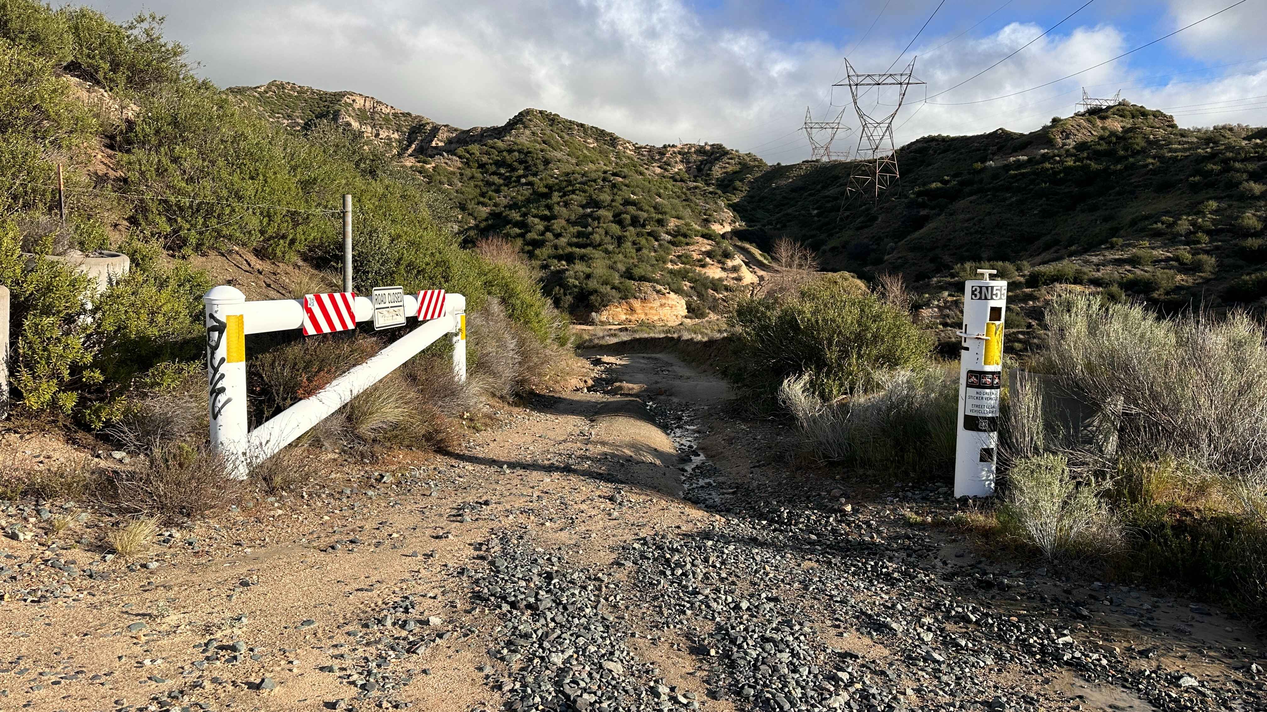
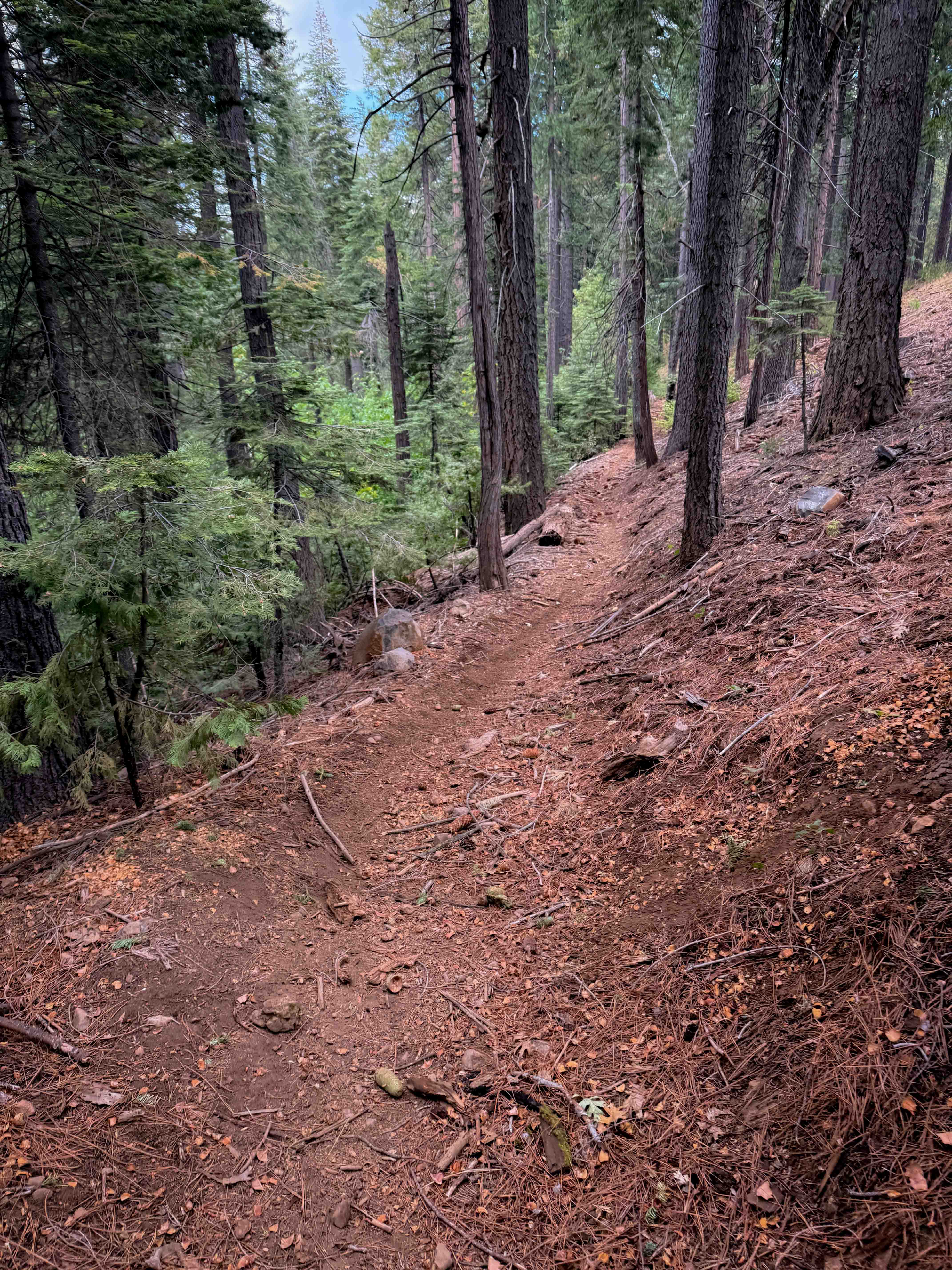
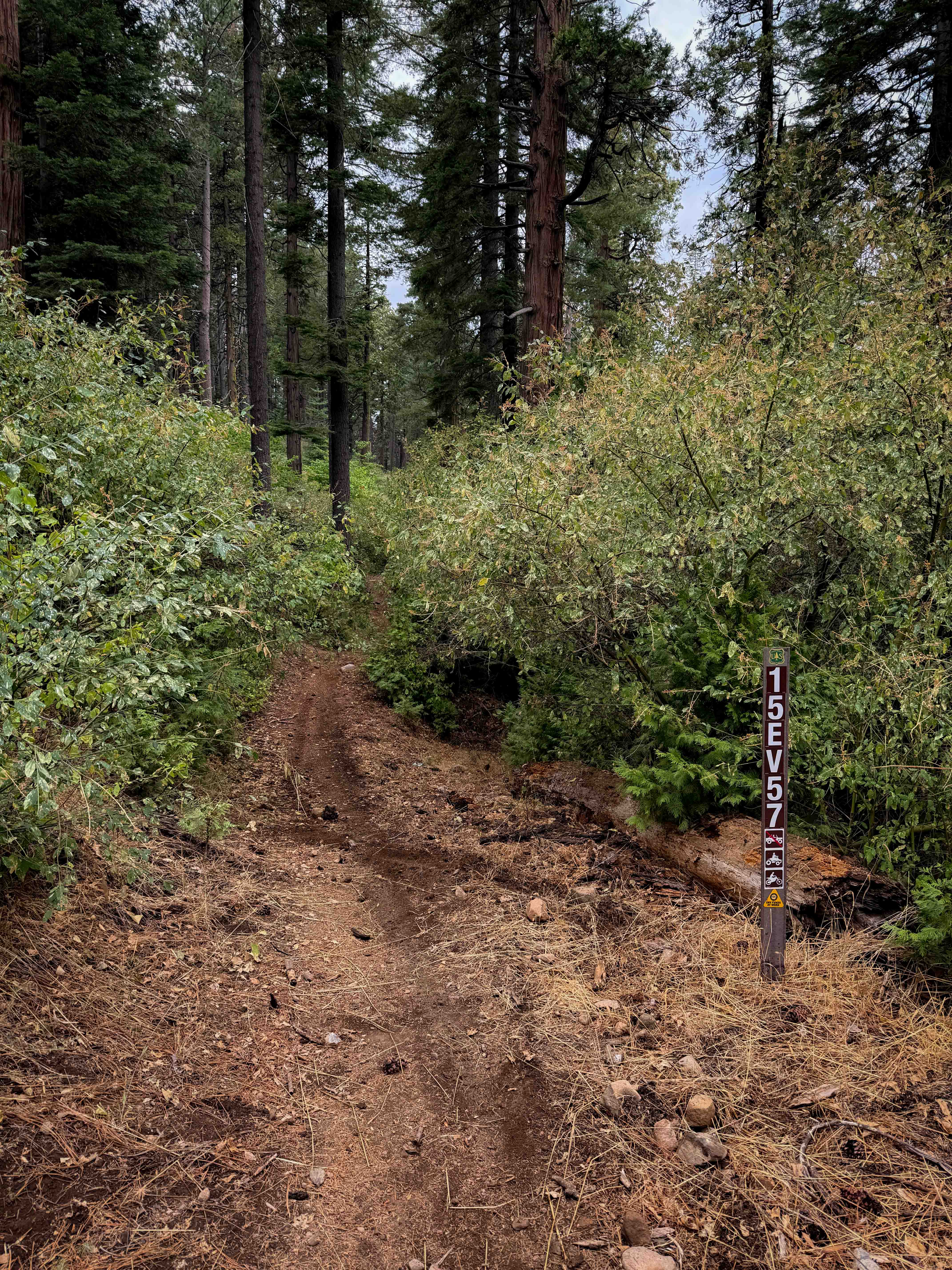
15 Lookout
Total Miles
3.2
Tech Rating
Moderate
Best Time
Spring, Summer, Fall, Winter

ATV trails in California
Learn more about Opal Canyon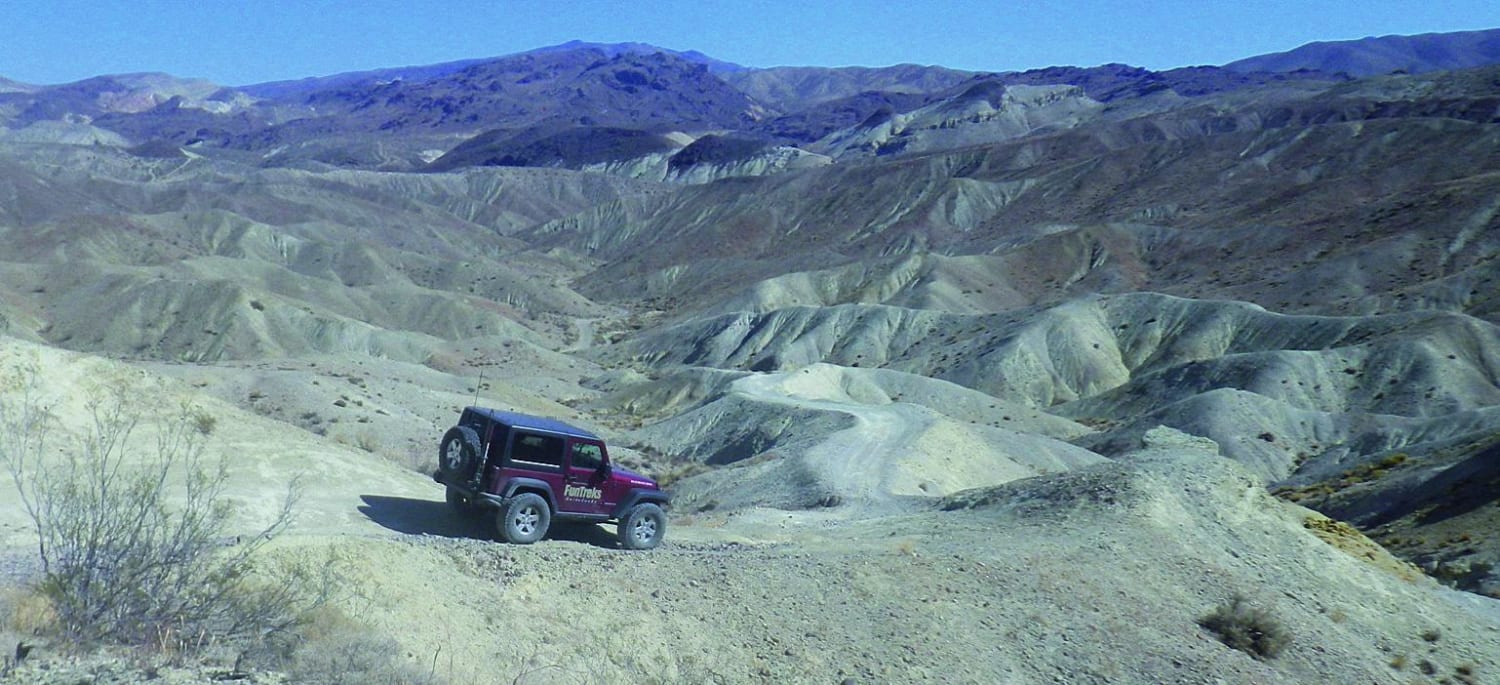
Opal Canyon
Total Miles
5.7
Tech Rating
Moderate
Best Time
Winter, Spring, Summer, Fall
Learn more about Open Ridge Black Diamond East - FS 18N02
Open Ridge Black Diamond East - FS 18N02
Total Miles
6.8
Tech Rating
Easy
Best Time
Spring, Summer, Fall
Learn more about Open Ridge Black Diamond West - FS 18N02
Open Ridge Black Diamond West - FS 18N02
Total Miles
11.9
Tech Rating
Easy
Best Time
Spring, Summer, Fall
UTV/side-by-side trails in California


Learn more about 3N267 Fenner Saddle (4N12)
3N267 Fenner Saddle (4N12)
Total Miles
3.8
Tech Rating
Difficult
Best Time
Spring, Summer, Fall, Winter

The onX Offroad Difference
onX Offroad combines trail photos, descriptions, difficulty ratings, width restrictions, seasonality, and more in a user-friendly interface. Available on all devices, with offline access and full compatibility with CarPlay and Android Auto. Discover what you’re missing today!