15EV55
Total Miles
1.4
Technical Rating
Best Time
Spring, Fall
Trail Type
50" Trail
Accessible By
Trail Overview
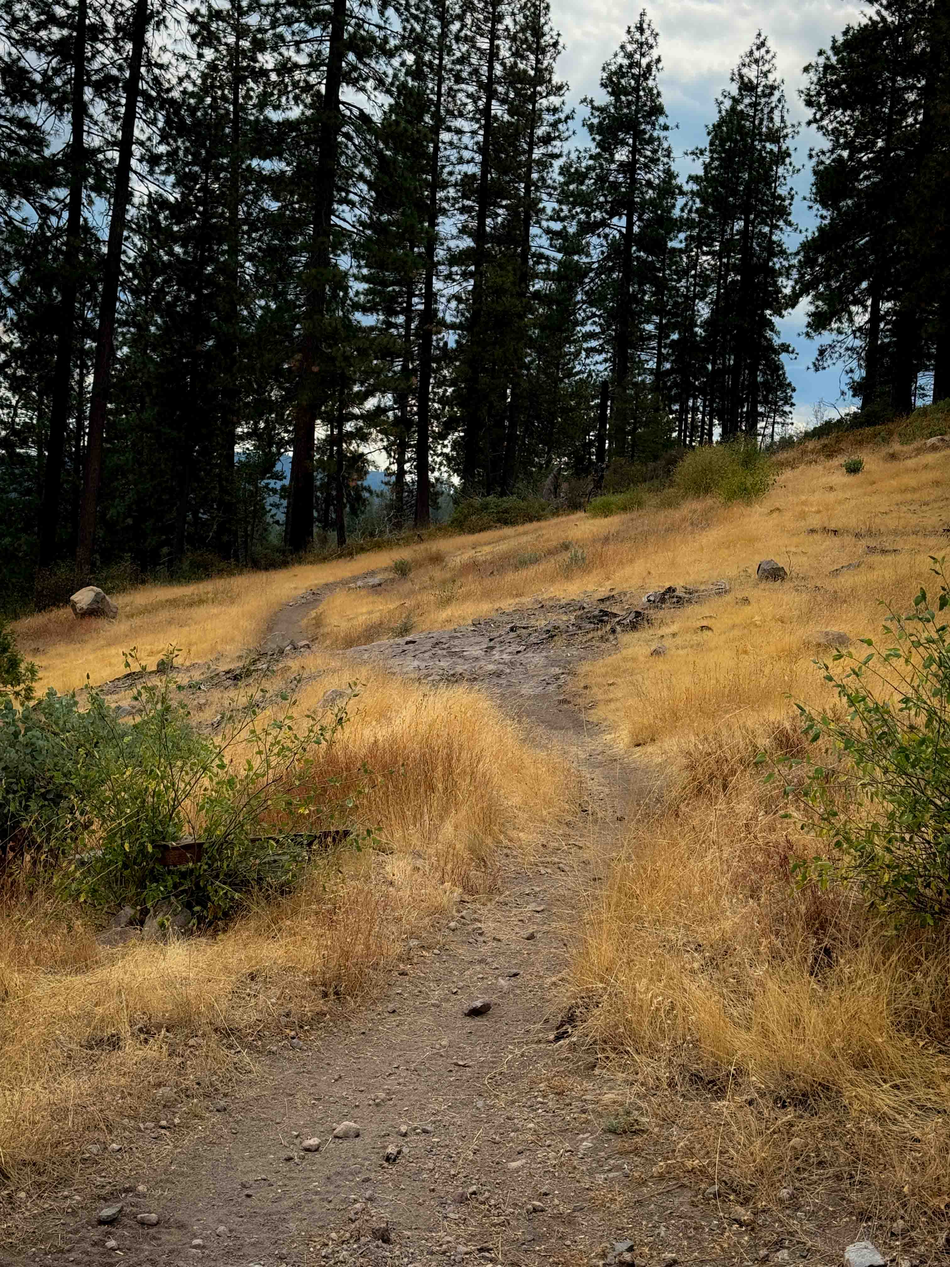
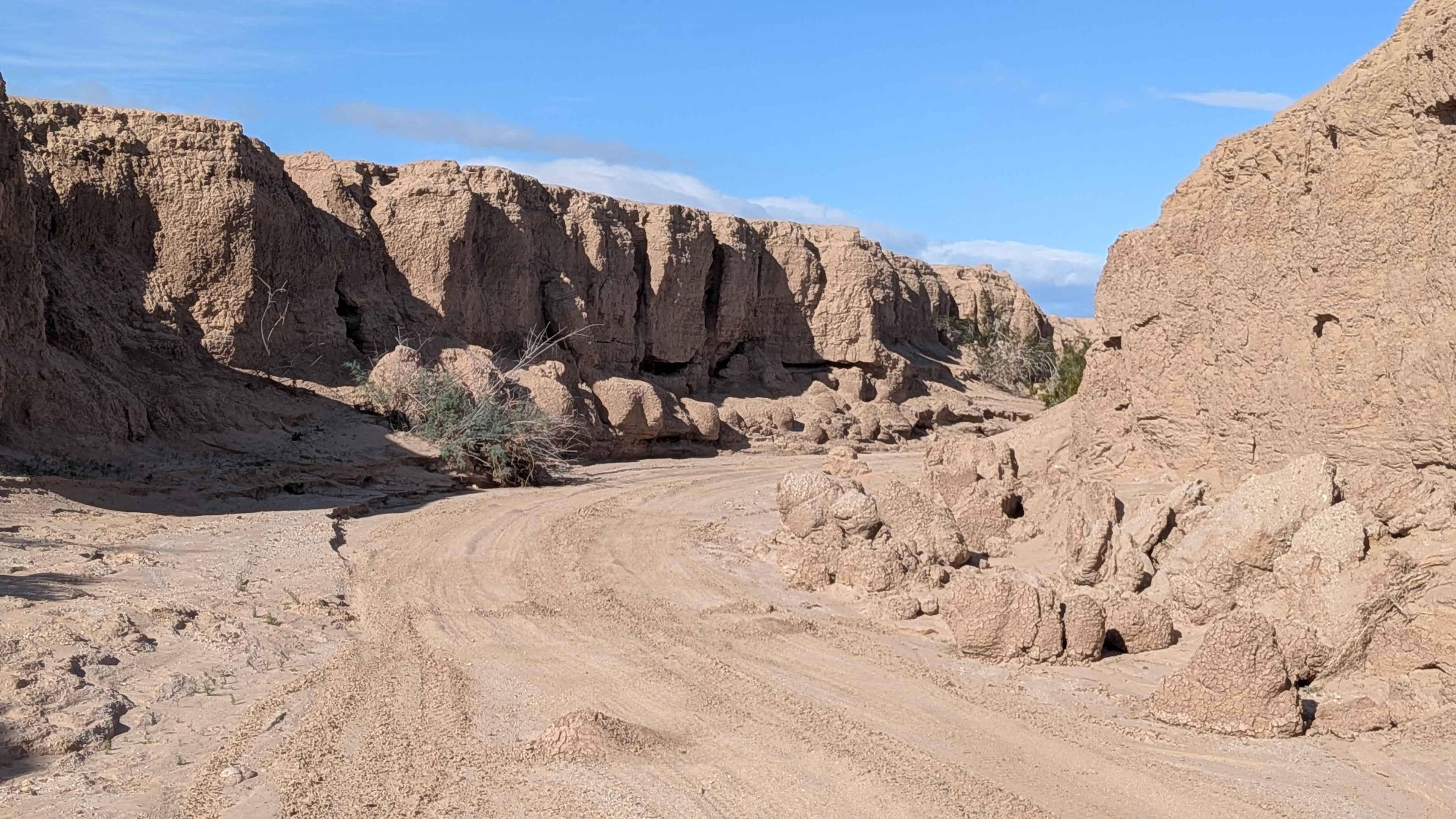
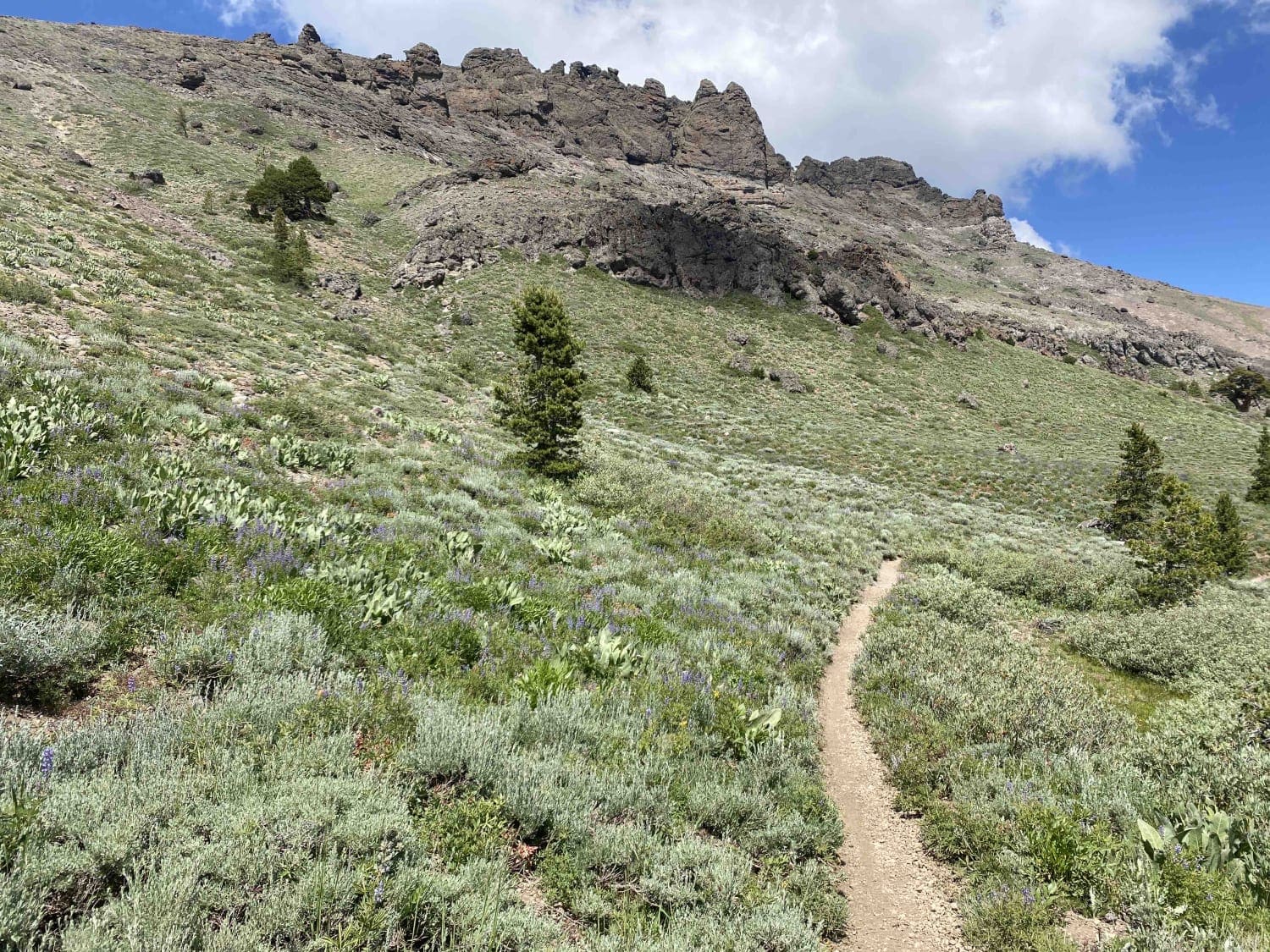
The east end of this trail starts at the intersection with 15EV56 and 15EV106, and goes across a sun-exposed and grassy hilltop with some flat layers of embedded rock in the trail, covered in small loose rock and some minor roots. It descends off the hilltop into the trees, on a narrow path lined with shrubs, and a few more sections of rock. The path will feel narrow for ATVs, but wide for dirt bikes. It winds along the hillside, steadily ascending, crossing 15EV73, and becoming more rutted in the center of the trail. At times it looks more like a singletrack. A few downed logs have been cut, keeping the trail clear and navigable. It has a few whoops on the west end as it connects with Summit Level Road.
Photos of 15EV55

Difficulty
Although this trail is very gradual and obstacle free, the narrowness will make it a bit more difficult for ATVs. It will be very easy and simple for dirt bikes though. There's a few rocks and ruts that add texture.
Status Reports
15EV55 can be accessed by the following ride types:
- ATV (50")
- Dirt Bike
15EV55 Map
Popular Trails
Potato Hill - FS 17N33
Horse Canyon Trail 17E21
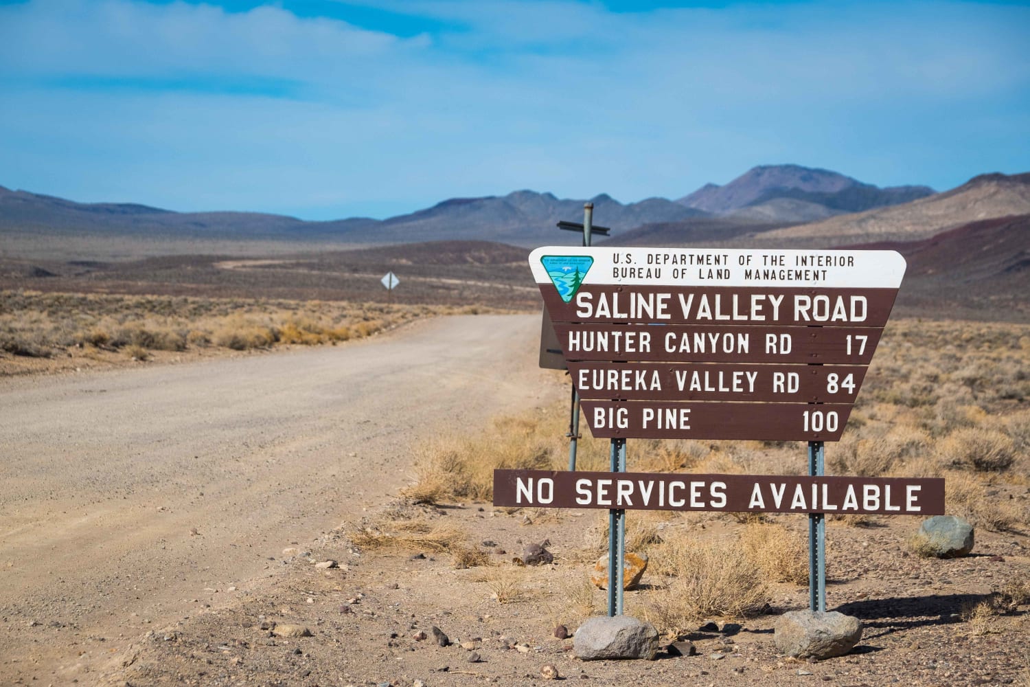
Saline Valley Road
The onX Offroad Difference
onX Offroad combines trail photos, descriptions, difficulty ratings, width restrictions, seasonality, and more in a user-friendly interface. Available on all devices, with offline access and full compatibility with CarPlay and Android Auto. Discover what you’re missing today!