11S03 Lusardi Truck Trail
Total Miles
5.9
Technical Rating
Best Time
Spring, Summer, Winter
Trail Type
Full-Width Road
Accessible By
Trail Overview
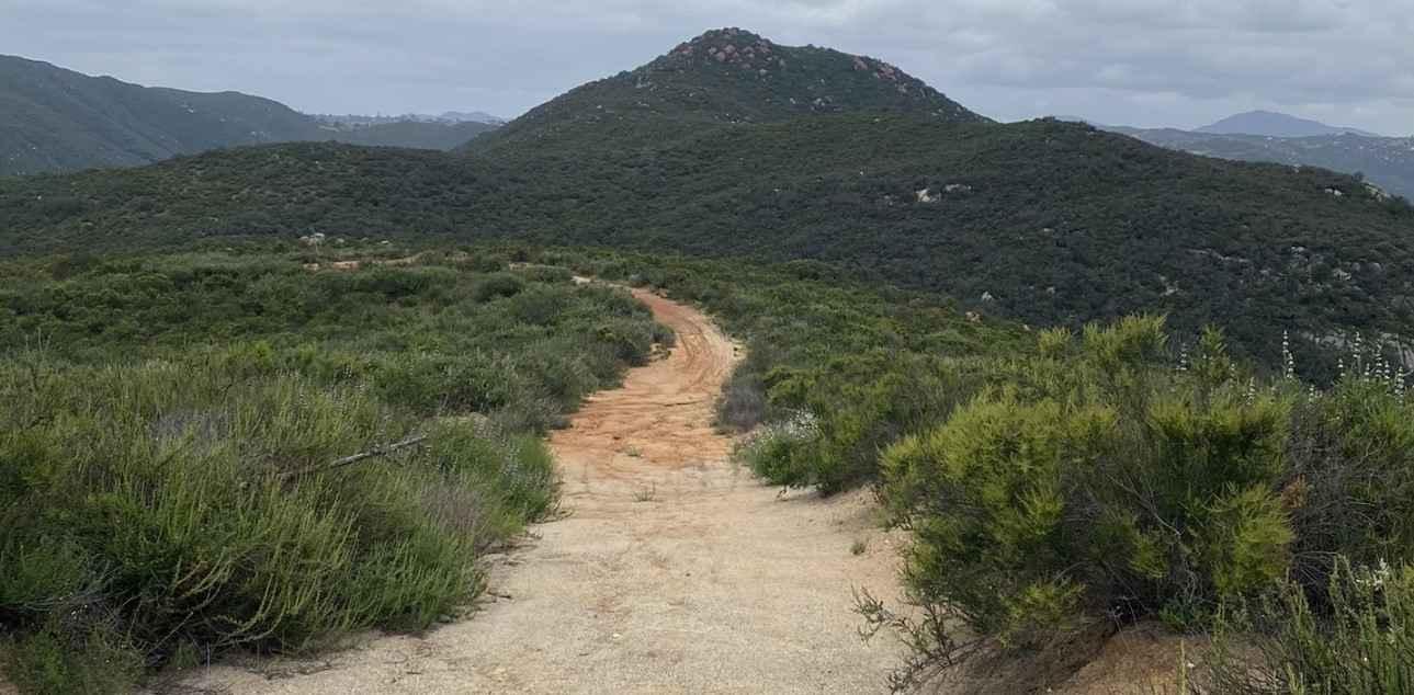
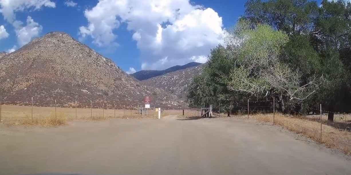
11S03 Lusardi Truck Trail is an 11.6-mile out-and-back trail rated 3 of 10 located within the Cleveland National Forest, Trabuco Ranger District. Lusardi Truck Trail ascends the Carney Canyon between the Black Butte (west) and Black Mountain (east) to the National Forest boundary at 5.8 miles. The trail is a limited-use trail restricted to street-legal vehicles only. The truck trail continues to the north across private property and is only accessible to CalFire. A steel barrier exists on the north end of the trail and a short walk further north is the private property gate at the forest boundary. The trail is mostly hard-packed dirt with a couple of rocky points. There are a couple of creek crossings; some have concrete erosion control installed to cross. This is a multi-use trail, so the potential exists to meet up with equestrians or mountain bikers. There are several offshoots along the way for exploration, but there is no legal means to loop around off of this road. There are several areas for dispersed camping along the trail and a couple of side trails that can be explored. The Forest Service may close this road during and after seasonal weather. Don't expect to get cell phone service on this trail and the nearest services are in Ramona.
Photos of 11S03 Lusardi Truck Trail
Difficulty
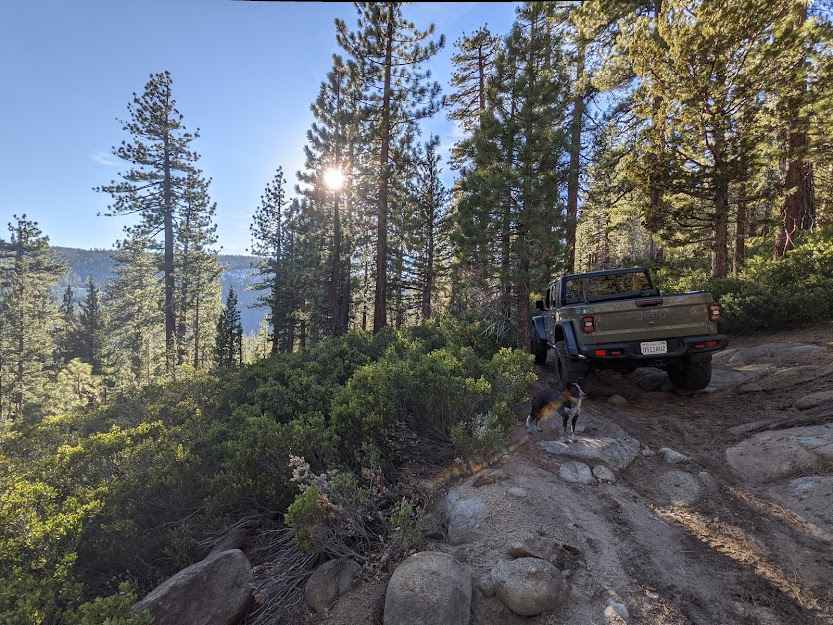
The trail consists of loose rocks, dirt, and sand with some slick rock surfaces. Mud holes are possible, but there are no steps higher than 12 inches. 4WD may be required, and aggressive tires are a plus.
History
Cleveland National Forest road and trail closure status is found here: https://www.fs.usda.gov/detail/cleveland/recreation/ohv/?cid=stelprdb5340229
Status Reports
11S03 Lusardi Truck Trail can be accessed by the following ride types:
- High-Clearance 4x4
- SUV
- Dirt Bike
11S03 Lusardi Truck Trail Map
Popular Trails
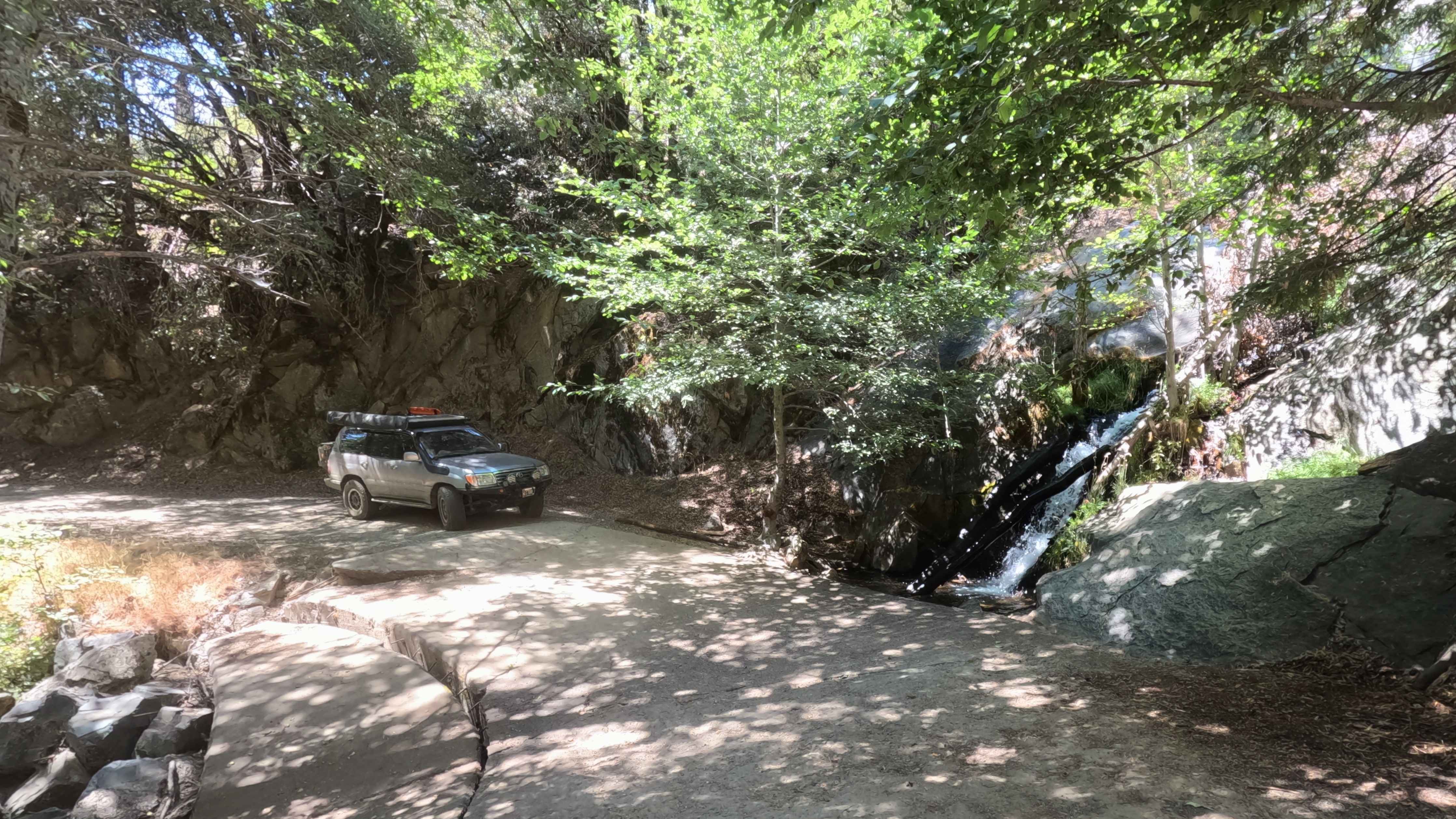
Sugar Pine - FS 6S090
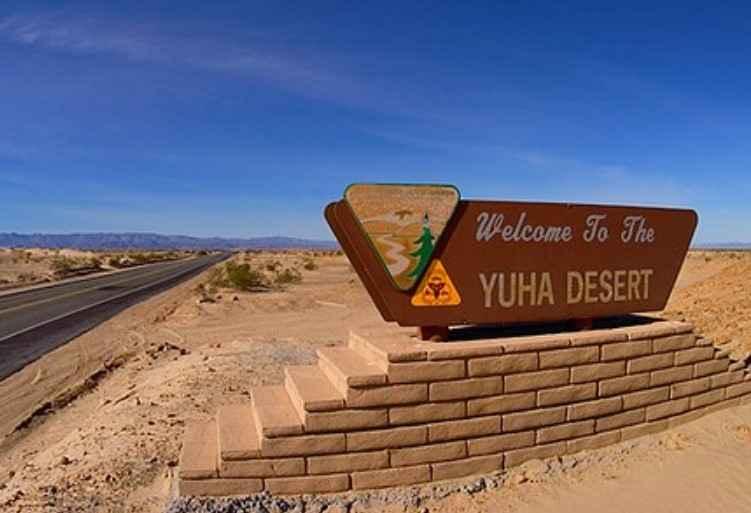
EC 346 Yuha Desert
Deer Valley

Silver Knob - FS 6S063
The onX Offroad Difference
onX Offroad combines trail photos, descriptions, difficulty ratings, width restrictions, seasonality, and more in a user-friendly interface. Available on all devices, with offline access and full compatibility with CarPlay and Android Auto. Discover what you’re missing today!
