Off-Road Trails in Idaho
Discover off-road trails in Idaho
Learn more about South Antelope Flat Road (20553)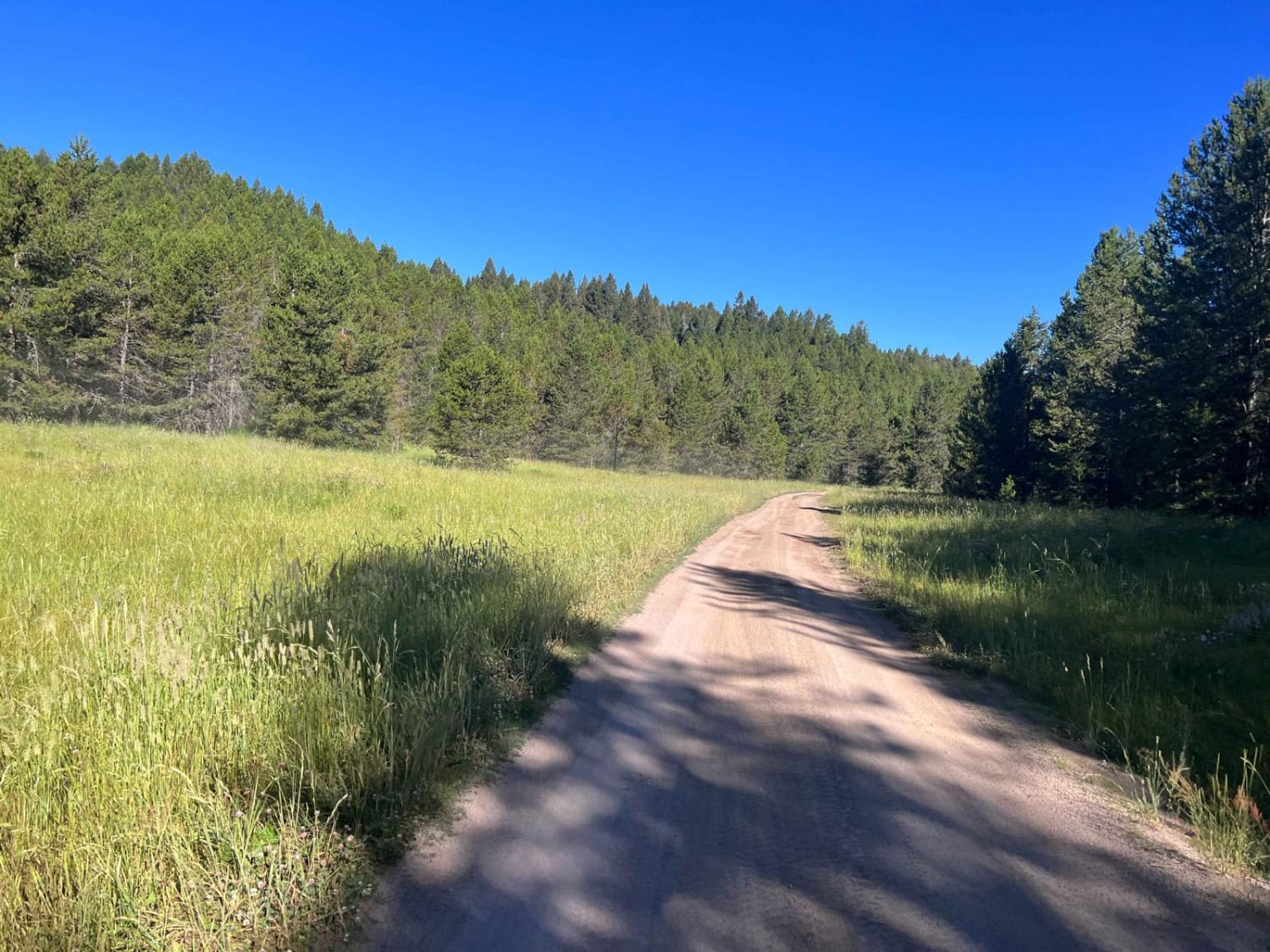
South Antelope Flat Road (20553)
Total Miles
13.1
Tech Rating
Easy
Best Time
Spring, Summer, Fall
Learn more about South Canfield OHV 
South Canfield OHV
Total Miles
3.3
Tech Rating
Easy
Best Time
Spring, Summer, Fall
Learn more about South Curlew Connector
South Curlew Connector
Total Miles
3.0
Tech Rating
Easy
Best Time
Spring, Fall
Learn more about South Fork of the Salmon River Trail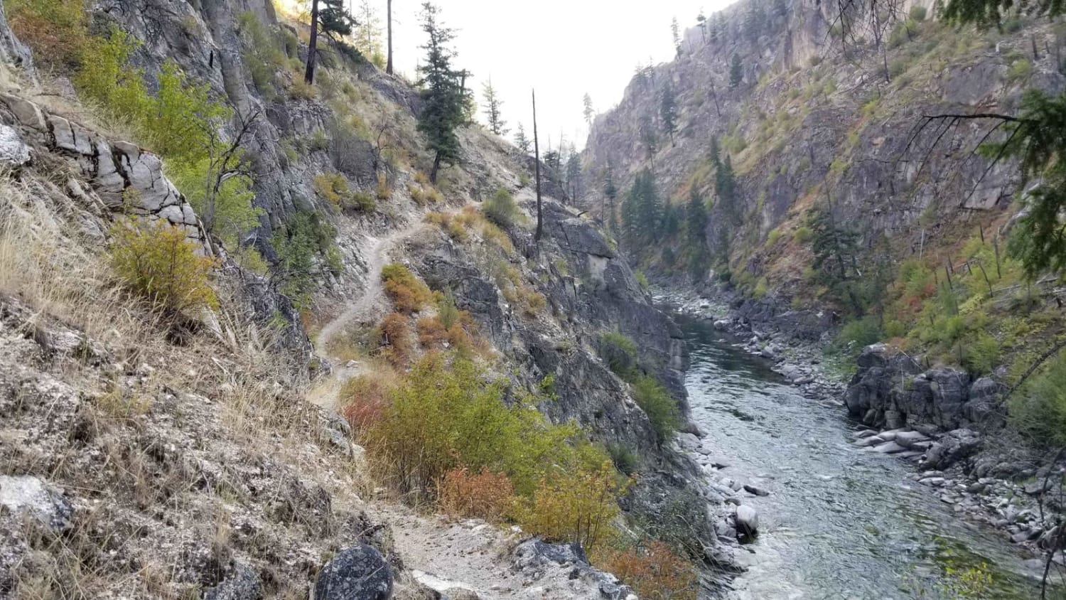
South Fork of the Salmon River Trail
Total Miles
7.9
Tech Rating
Extreme
Best Time
Summer, Fall
Learn more about South Fork River Road
South Fork River Road
Total Miles
30.1
Tech Rating
Easy
Best Time
Spring, Summer, Fall
Learn more about South Fork Sheep Creek 
South Fork Sheep Creek
Total Miles
5.8
Tech Rating
Moderate
Best Time
Spring, Summer, Fall
Learn more about South Fork Timber Creek #5127
South Fork Timber Creek #5127
Total Miles
1.3
Tech Rating
Easy
Best Time
Summer, Fall
Learn more about South Fork Worthing
South Fork Worthing
Total Miles
4.8
Tech Rating
Easy
Best Time
Spring, Summer, Fall
Learn more about South Grove Creek
South Grove Creek
Total Miles
2.0
Tech Rating
Easy
Best Time
Summer, Fall
Learn more about South Heglar Canyon 
South Heglar Canyon
Total Miles
8.0
Tech Rating
Easy
Best Time
Spring, Summer, Fall
Learn more about South Hills Adventure Loop
South Hills Adventure Loop
Total Miles
41.7
Tech Rating
Easy
Best Time
Fall, Summer, Spring

Learn more about South Lateral #3506 
South Lateral #3506
Total Miles
1.4
Tech Rating
Easy
Best Time
Summer, Fall
Learn more about South Sulphur Canyon #5238
South Sulphur Canyon #5238
Total Miles
1.5
Tech Rating
Moderate
Best Time
Summer, Fall
Learn more about Southern Lucas Point
Southern Lucas Point
Total Miles
2.0
Tech Rating
Easy
Best Time
Spring, Summer, Fall
Learn more about Southfork Eightmile Trail
Southfork Eightmile Trail
Total Miles
3.2
Tech Rating
Moderate
Best Time
Summer, Fall
Learn more about Spades Connection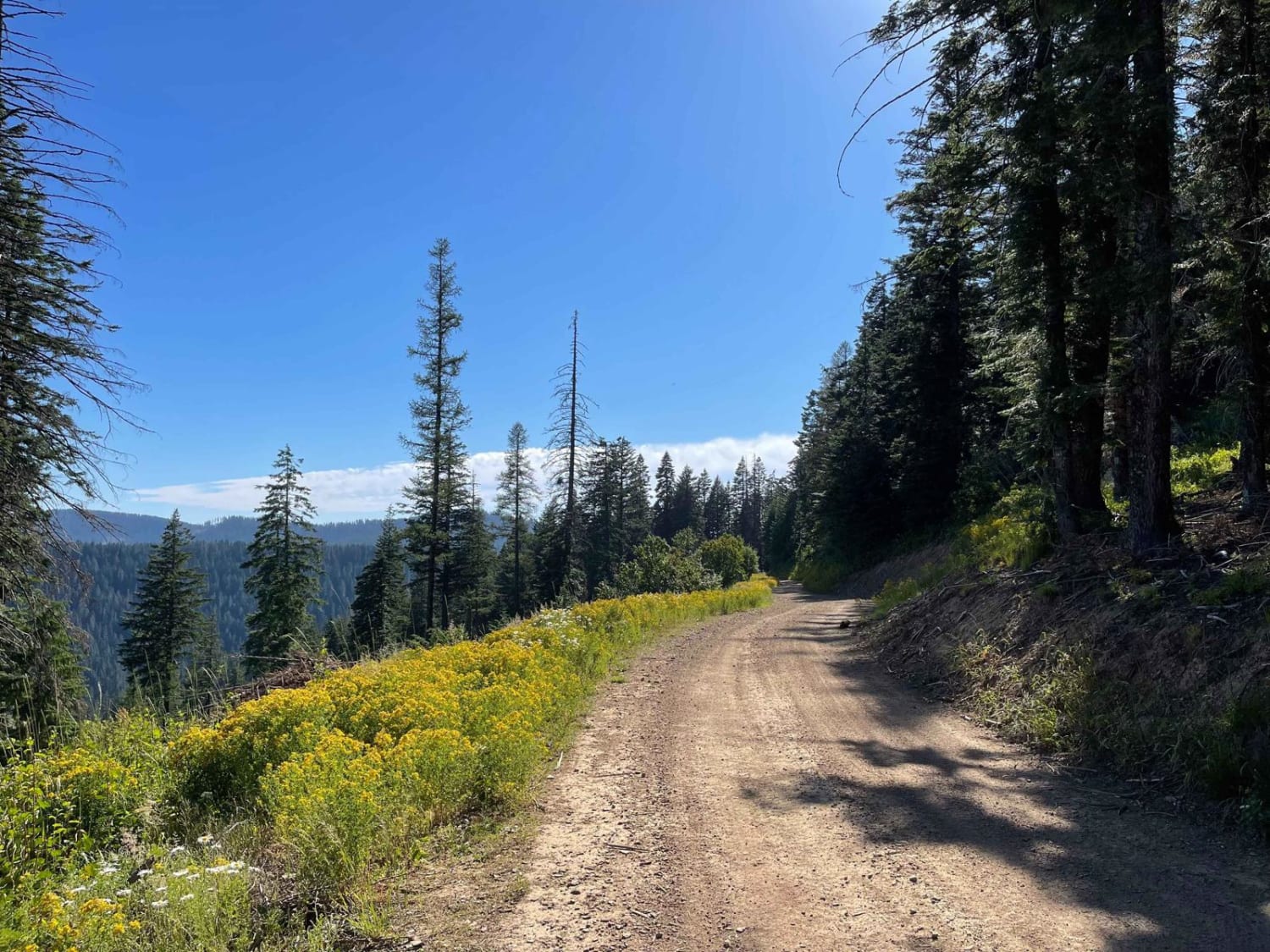
Spades Connection
Total Miles
4.4
Tech Rating
Easy
Best Time
Fall, Summer, Spring
Learn more about Spring Creek Road - FS 889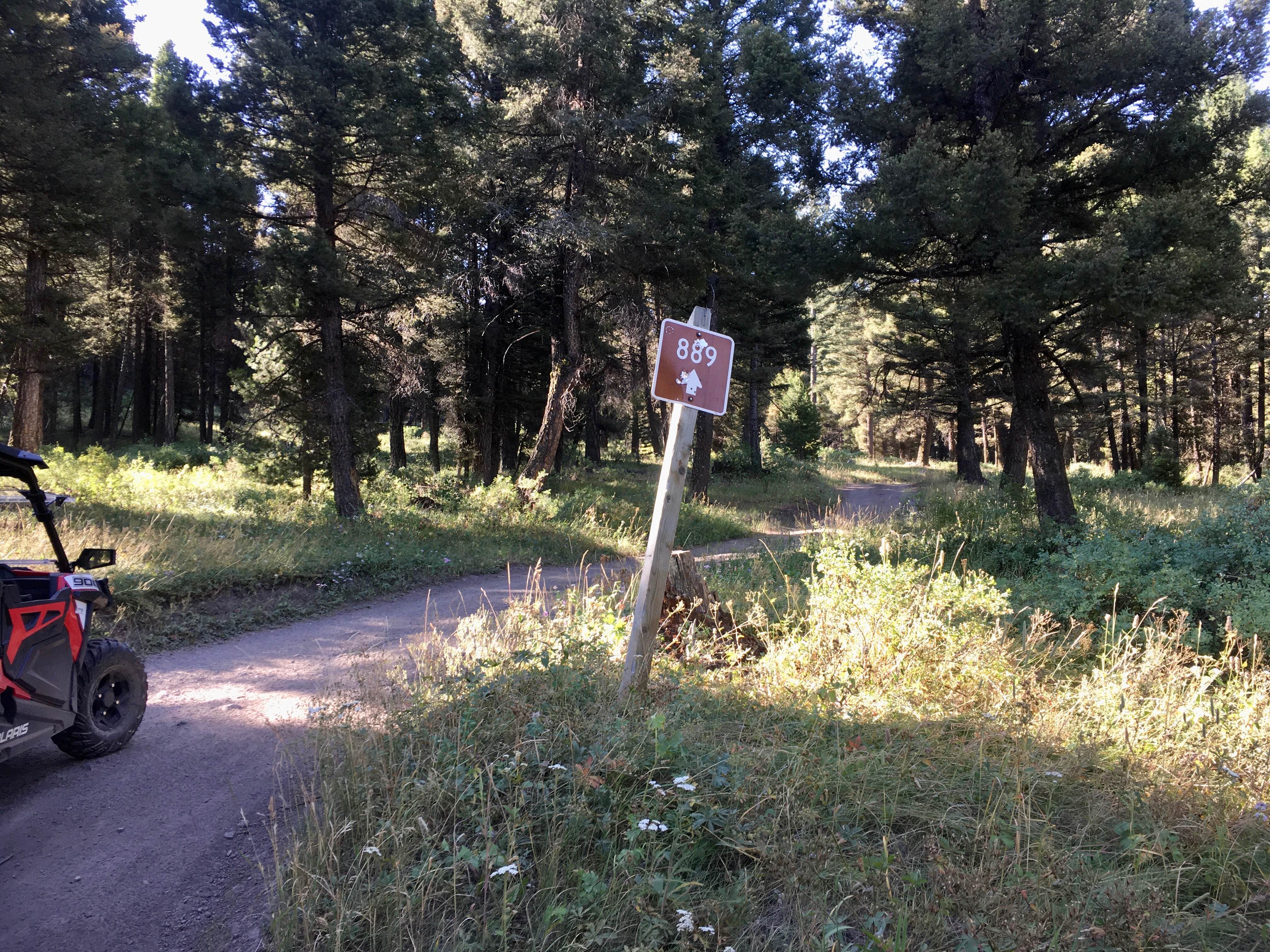
Spring Creek Road - FS 889
Total Miles
3.4
Tech Rating
Easy
Best Time
Spring, Summer, Fall
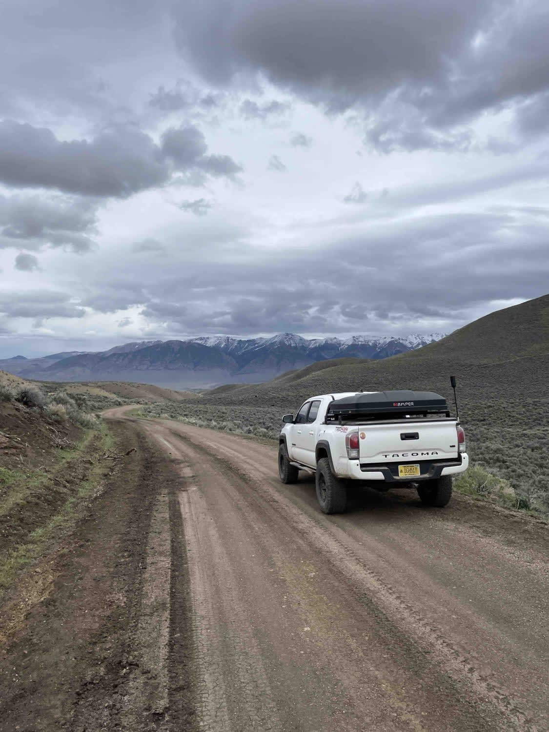
Learn more about Springfield to Big Southern Butte
Springfield to Big Southern Butte
Total Miles
26.4
Tech Rating
Easy
Best Time
Spring, Fall
ATV trails in Idaho
Learn more about Aspen Range - Middle Sulphur #5248 
Aspen Range - Middle Sulphur #5248
Total Miles
1.9
Tech Rating
Easy
Best Time
Summer, Fall
Learn more about Dry Fork - Meadow Springs #5226 
Dry Fork - Meadow Springs #5226
Total Miles
0.4
Tech Rating
Easy
Best Time
Summer, Fall
Learn more about South Foothill Road
South Foothill Road
Total Miles
8.2
Tech Rating
Moderate
Best Time
Summer, Fall

UTV/side-by-side trails in Idaho
Learn more about South Foothill Road
South Foothill Road
Total Miles
8.2
Tech Rating
Moderate
Best Time
Summer, Fall

Learn more about 21 To Nip & Tuck
21 To Nip & Tuck
Total Miles
1.4
Tech Rating
Easy
Best Time
Fall, Summer, Spring

The onX Offroad Difference
onX Offroad combines trail photos, descriptions, difficulty ratings, width restrictions, seasonality, and more in a user-friendly interface. Available on all devices, with offline access and full compatibility with CarPlay and Android Auto. Discover what you’re missing today!