Springfield to Big Southern Butte
Total Miles
26.4
Technical Rating
Best Time
Spring, Fall
Trail Type
Full-Width Road
Accessible By
Trail Overview
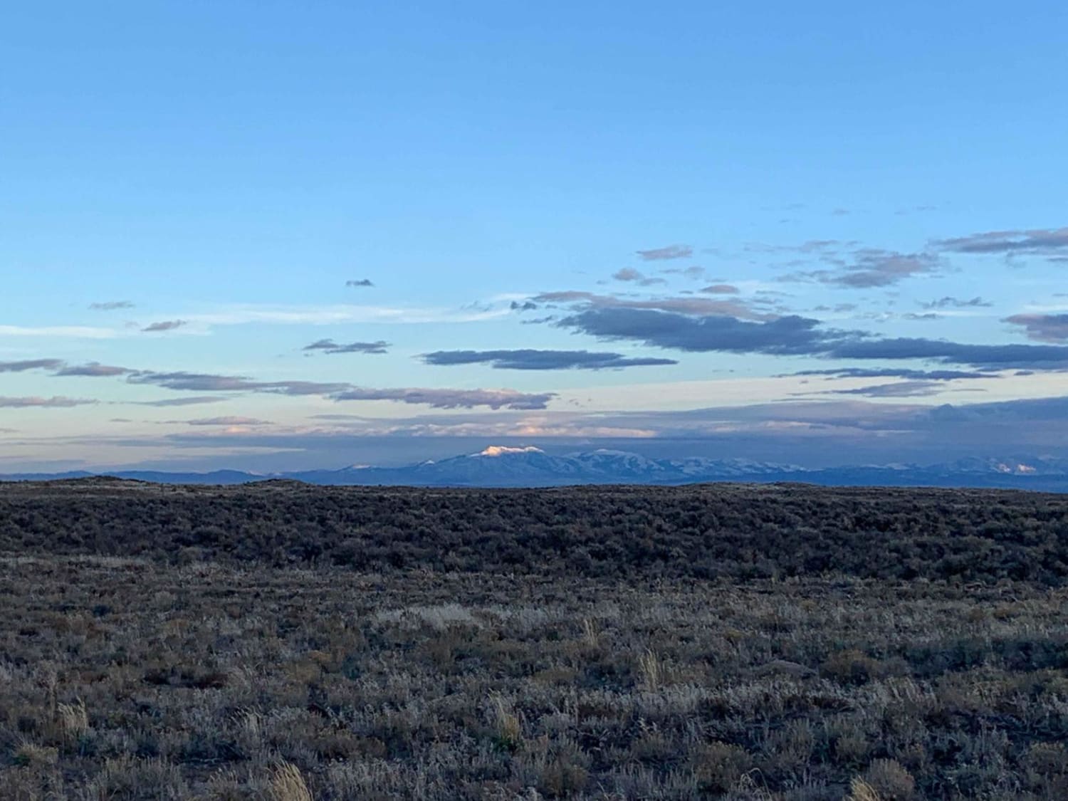
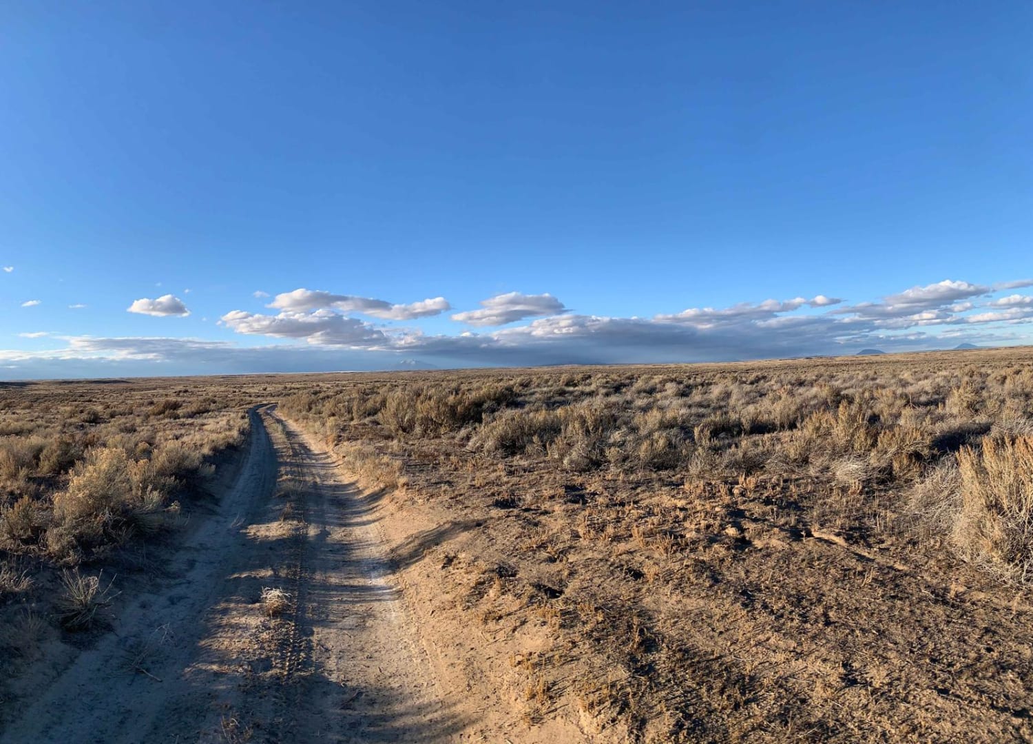
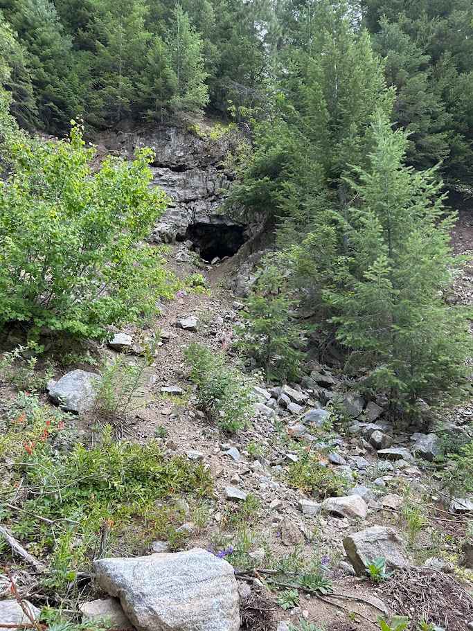
The route takes you from Springfield, Idaho to Big Southern Butte via part of Goodale's Cutoff. For a brief history of the cutoff see below. This trail is best ridden in the spring when the snow has melted until it gets hot and then in the late fall. There are awesome picturesque views of the entire Snake River Plain including Big Southern Butte, Middle Butte, and East Butte. On a clear day, riders can see all the way to the Grand Tetons and the surrounding ranges such as the Bitterroot, Lemhi, and Lost River Ranges to the North and Bannock Ranges to the South. Be sure to bring plenty of gas and water as services are limited and access points are sparse.
Photos of Springfield to Big Southern Butte
Difficulty
The majority of the route is fairly rutted with lava rock and sand outcroppings. Be sure to drive carefully as the lava rock is known to eat side walls
History
Goodale's Cutoff left the main part of the Oregon trail near Fort Hall, crossed the Snake River Plain to the Lost River, and then turned west to the area of Boise, crossing Camas Prairie. It rejoined the main trail from Ditto Creek to Boise, then ran to the north of the main trail, crossing the Snake River into Oregon at Brownlee's Ferry. For a full description see: https://en.wikipedia.org/wiki/Goodale%27s_Cutoff
Status Reports
Springfield to Big Southern Butte can be accessed by the following ride types:
- High-Clearance 4x4
- SUV
- SxS (60")
- ATV (50")
- Dirt Bike
Springfield to Big Southern Butte Map
Popular Trails
North Fork St. Charles
Yellow Dog (513)

Little Meadow Creek OHV Campground
Moonlight Creek
The onX Offroad Difference
onX Offroad combines trail photos, descriptions, difficulty ratings, width restrictions, seasonality, and more in a user-friendly interface. Available on all devices, with offline access and full compatibility with CarPlay and Android Auto. Discover what you’re missing today!