Red Warrior - Lodgepole
Total Miles
4.4
Technical Rating
Best Time
Fall, Summer, Spring
Trail Type
Single Track
Accessible By
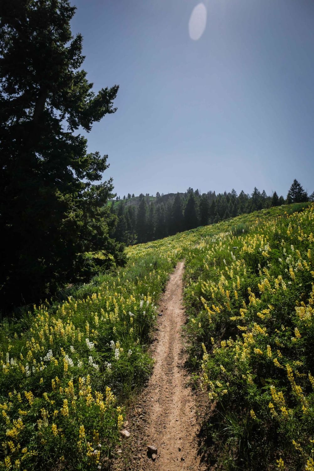
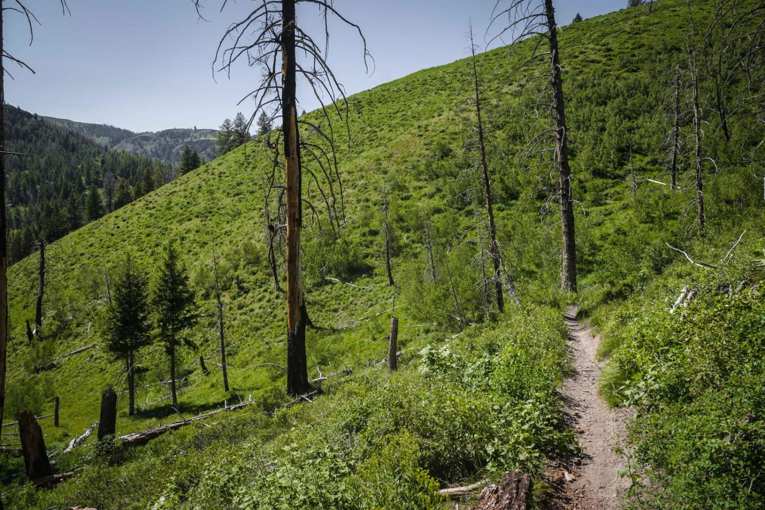
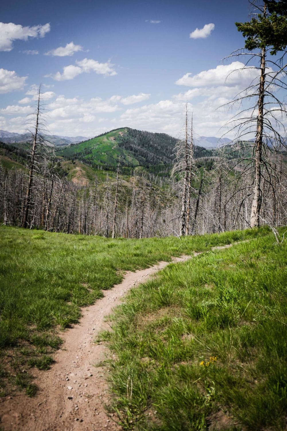
Trail Overview
This is an easier single track in the Greenhorn trail system that has a nice amount of shade and less embedded rock than some of the surrounding trails. It's smooth dirt with a few easy roots across the trail, making it fast and flowy and a fun time. It meanders through a forest of pine trees on a pretty wide single track, with lots of curvy turns and a couple switchbacks. It has a couple really small stream crossings, but no major obstacles. There is a signed intersection with the Mahoney Lodgepole Connector trail in a nice spot of shade. After the intersection, it climbs up to a saddle full of wildflowers on a trail with a bit of loose rock. It's windy as it gets into the trees and has some flowy, easy switchbacks. It side hills into a burn area where there is more potential for downfall, but most of the logs get cut by the locals. There are some switchbacks in the burn area that are a little harder. It drops into a gully, elevated above a creek, and crosses the creek four times, but each crossing is pretty easy.
Photos of Red Warrior - Lodgepole
Difficulty
Easy single track in a low alpine environment with small roots and rocks but no major obstacles.
Status Reports
Red Warrior - Lodgepole can be accessed by the following ride types:
- Dirt Bike
Red Warrior - Lodgepole Map
Popular Trails

Custer Motorway (aka Yankee Fork Road)

Dry Gulch Bypass OHV

Little Meadow Creek OHV Campground
Mahoney Butte
The onX Offroad Difference
onX Offroad combines trail photos, descriptions, difficulty ratings, width restrictions, seasonality, and more in a user-friendly interface. Available on all devices, with offline access and full compatibility with CarPlay and Android Auto. Discover what you’re missing today!