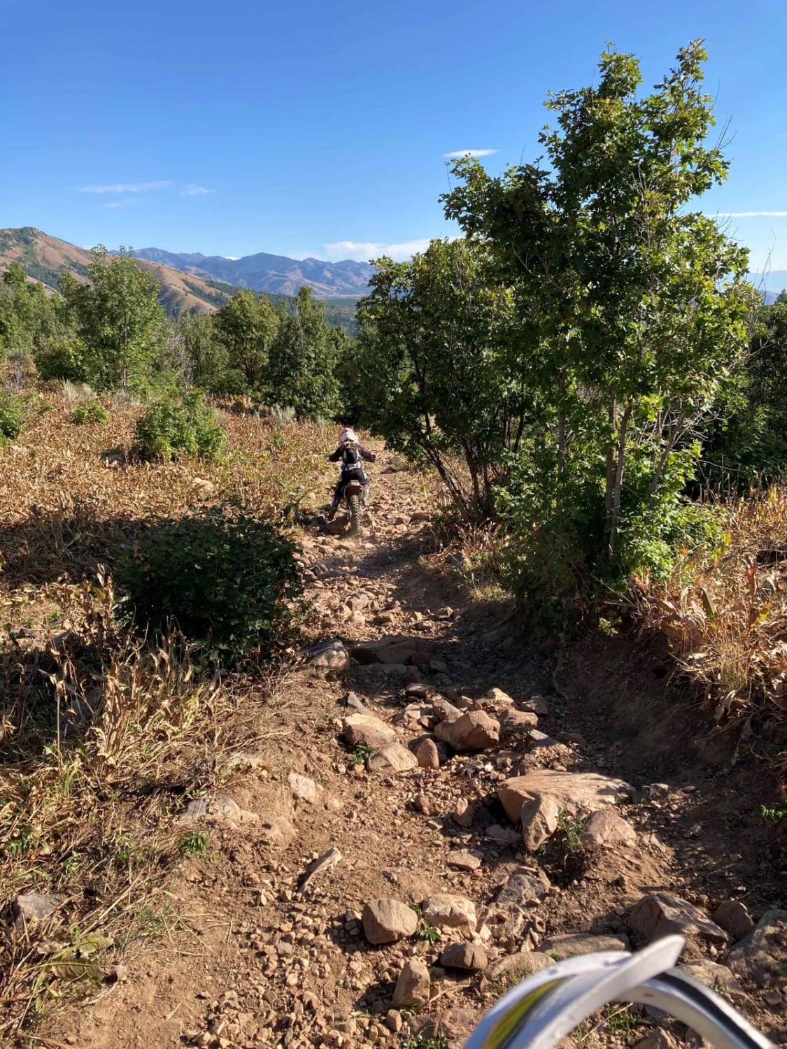
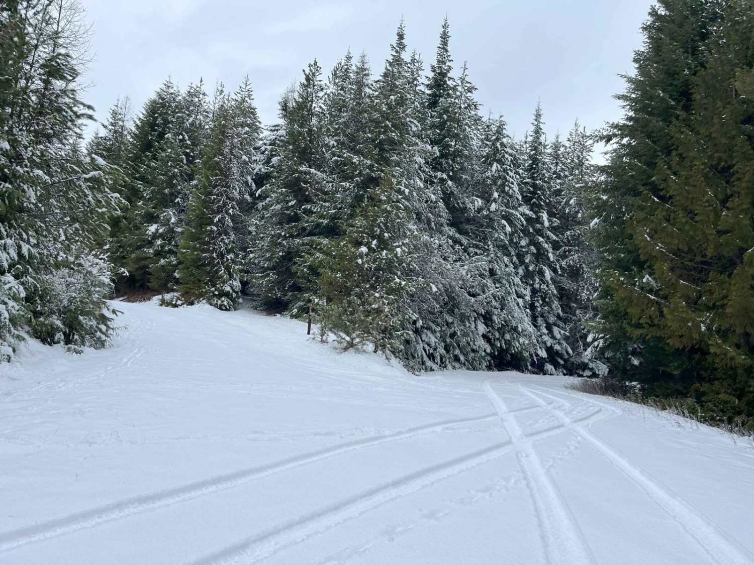
Off-Road Trails in Idaho
Discover off-road trails in Idaho

Learn more about Third Fork Rock CR
Third Fork Rock CR
Total Miles
2.6
Tech Rating
Easy
Best Time
Spring, Summer, Fall
Learn more about Three Mile Ridge 
Three Mile Ridge
Total Miles
4.9
Tech Rating
Moderate
Best Time
Spring, Summer, Fall
Learn more about Three Ponds #3367 
Three Ponds #3367
Total Miles
1.4
Tech Rating
Easy
Best Time
Summer, Fall
Learn more about Three Tree Butte No. 26
Three Tree Butte No. 26
Total Miles
3.7
Tech Rating
Easy
Best Time
Spring, Summer, Fall
Learn more about Threemile Road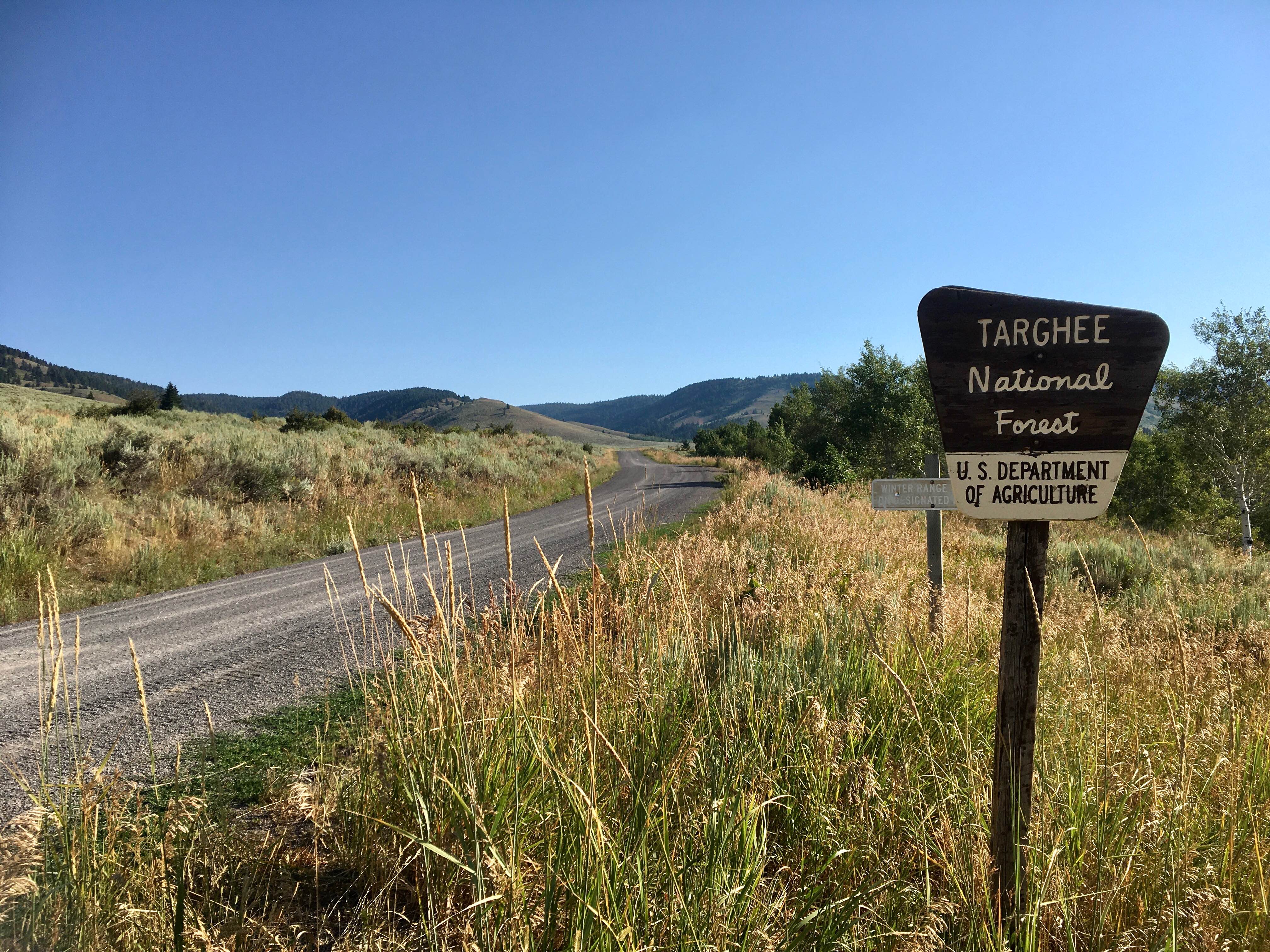
Threemile Road
Total Miles
7.3
Tech Rating
Easy
Best Time
Spring, Summer, Fall
Learn more about Timbered Dome - Hammond Spring Creek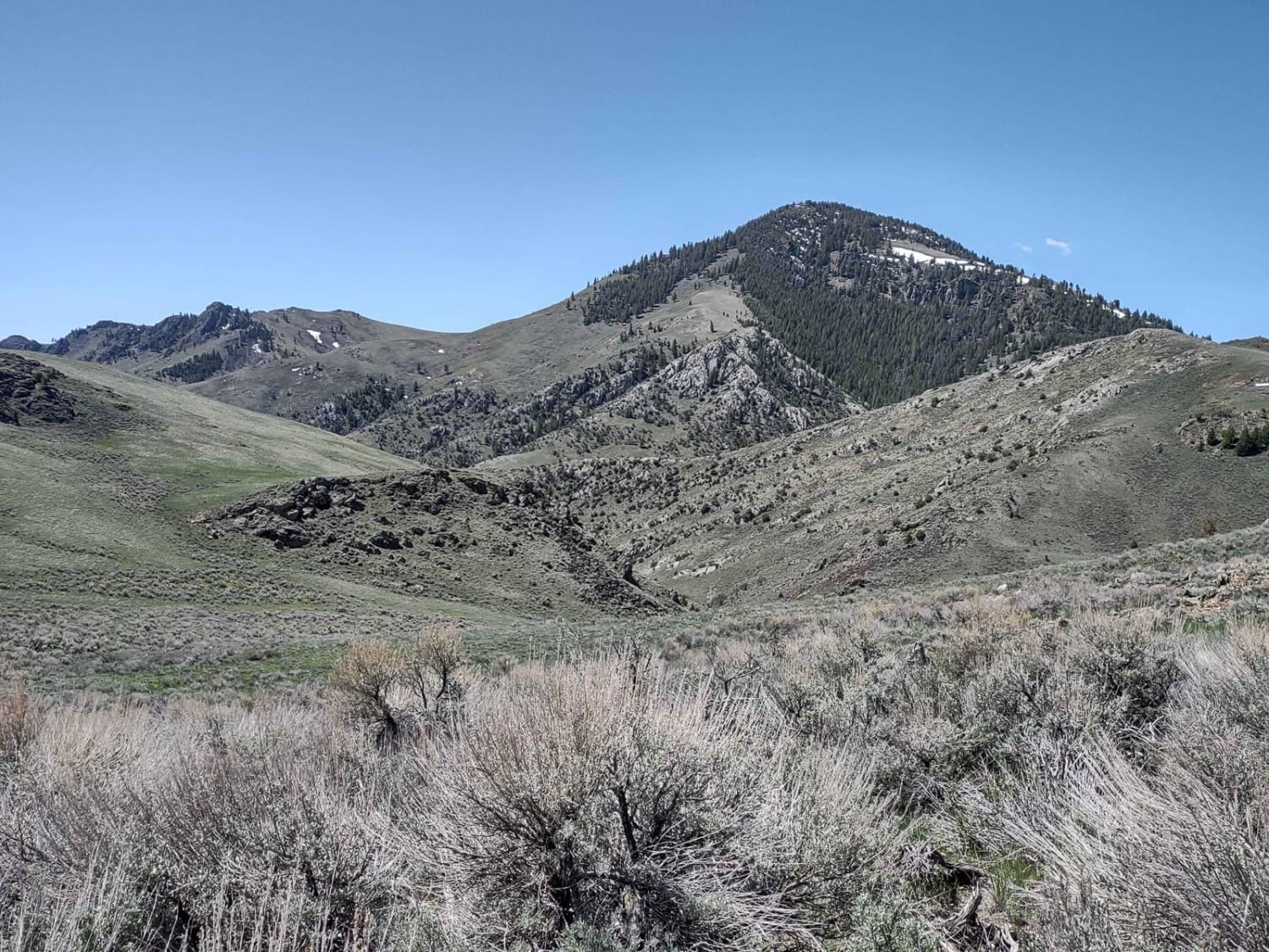
Timbered Dome - Hammond Spring Creek
Total Miles
3.3
Tech Rating
Easy
Best Time
Spring, Summer, Fall
Learn more about To-Wi-Da #3332 
To-Wi-Da #3332
Total Miles
3.0
Tech Rating
Moderate
Best Time
Summer, Fall
Learn more about Trail Canyon #5254
Trail Canyon #5254
Total Miles
1.3
Tech Rating
Easy
Best Time
Summer, Fall
Learn more about Trail Canyon East #5250 
Trail Canyon East #5250
Total Miles
1.2
Tech Rating
Easy
Best Time
Summer, Fall

Learn more about Trail Creek Pass 408/208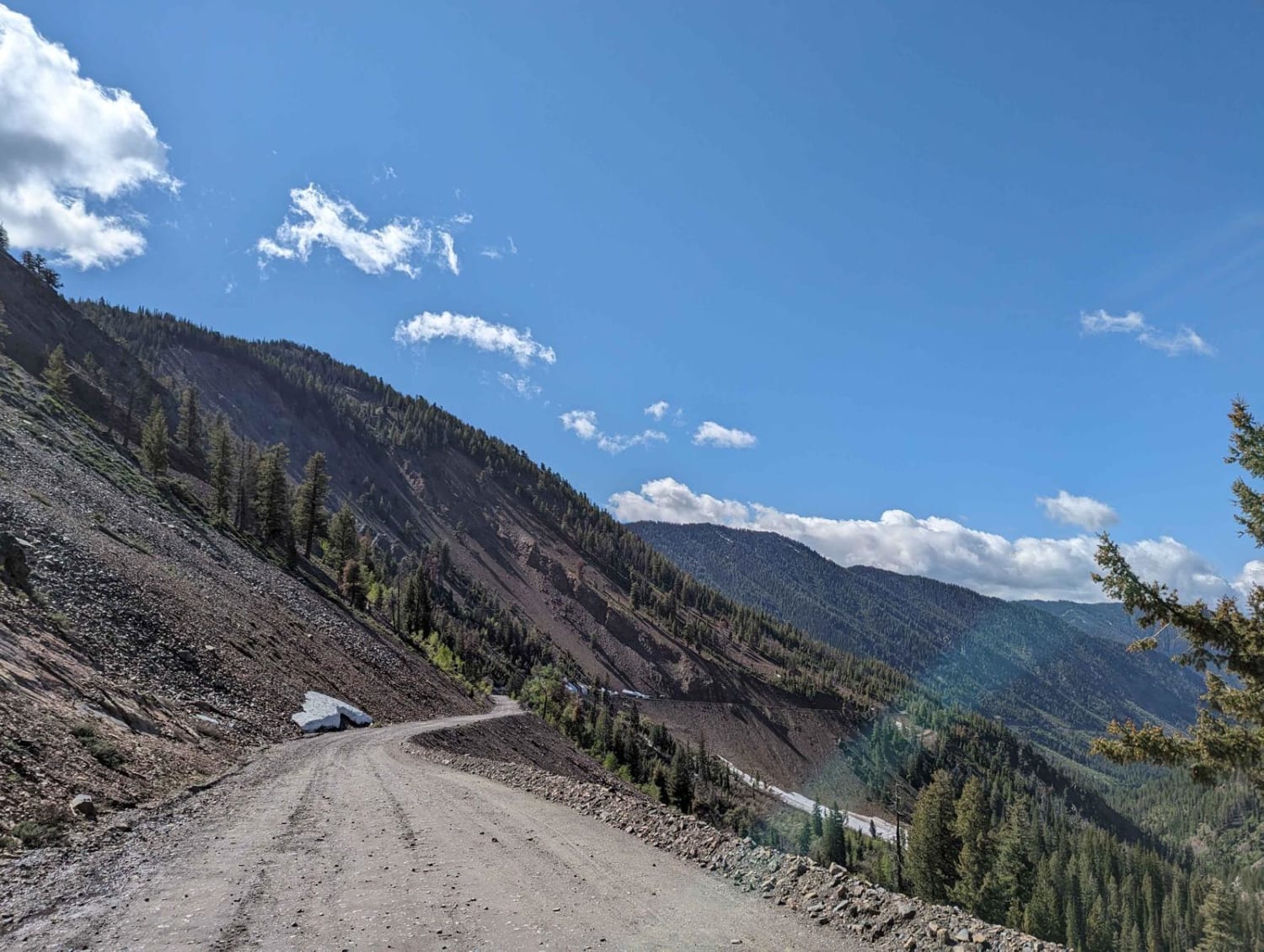
Trail Creek Pass 408/208
Total Miles
11.3
Tech Rating
Easy
Best Time
Spring, Summer, Fall
Learn more about Trail Hollow (Malad) 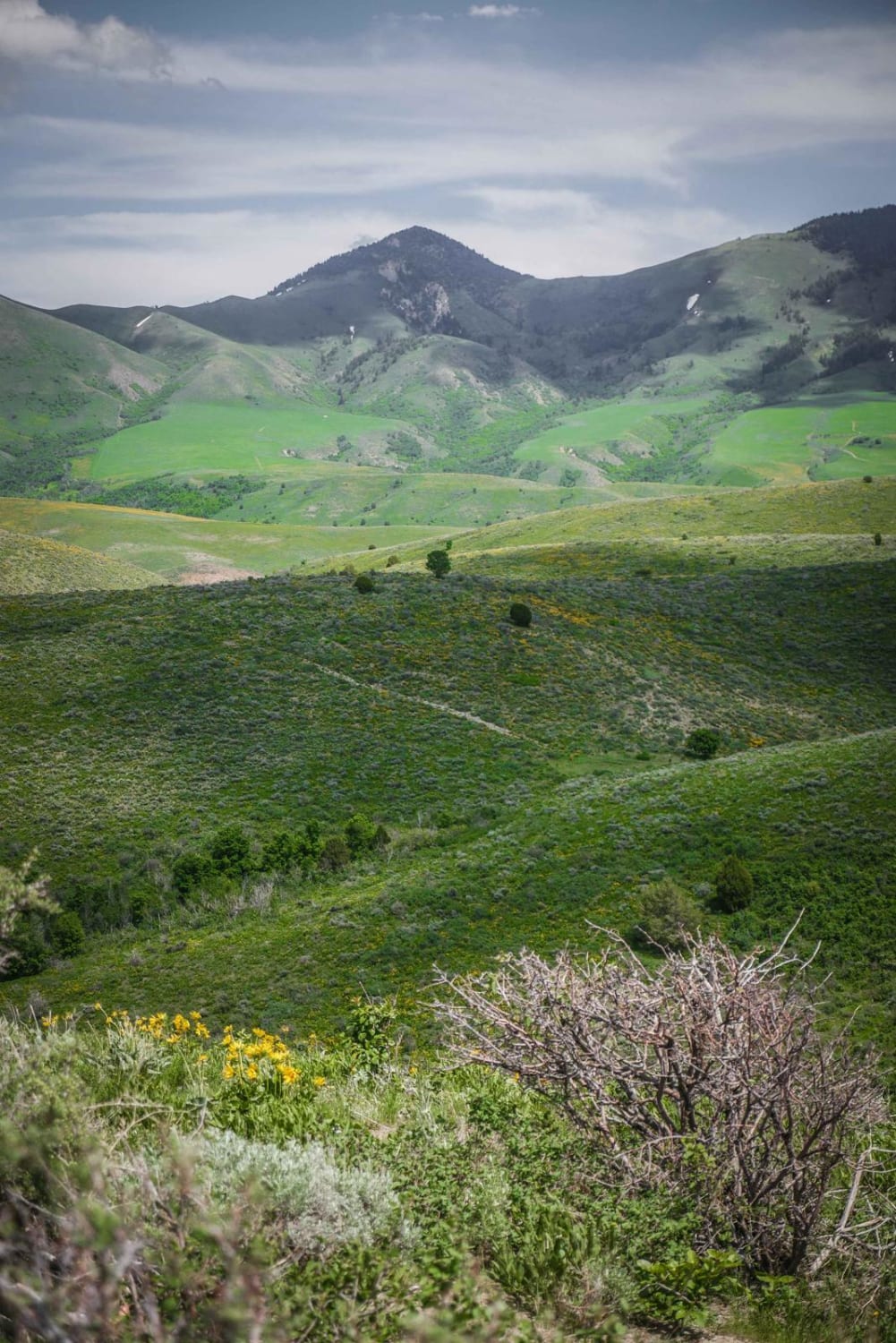
Trail Hollow (Malad)
Total Miles
1.7
Tech Rating
Easy
Best Time
Fall, Spring, Summer
Learn more about Trail Hollow #3368
Trail Hollow #3368
Total Miles
4.4
Tech Rating
Easy
Best Time
Summer, Fall
Learn more about Trail Hollow to Maple Hollow 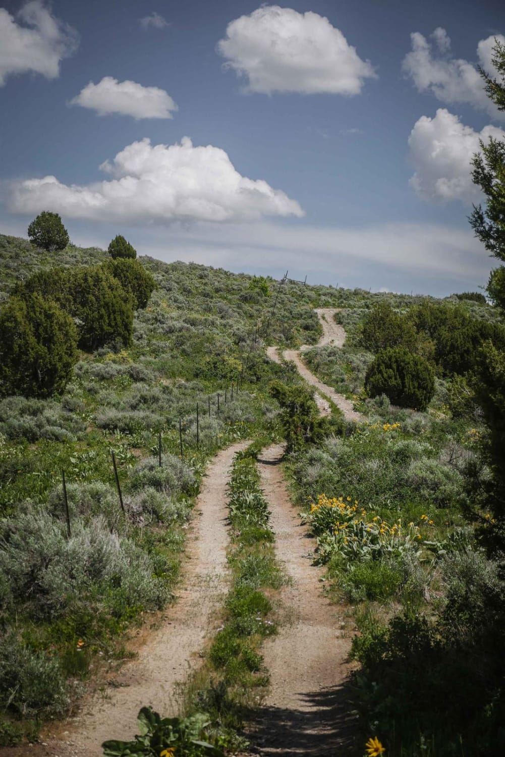
Trail Hollow to Maple Hollow
Total Miles
2.6
Tech Rating
Easy
Best Time
Spring, Fall, Summer
ATV trails in Idaho
Learn more about Aspen Range - Middle Sulphur #5248 
Aspen Range - Middle Sulphur #5248
Total Miles
1.9
Tech Rating
Easy
Best Time
Summer, Fall
Learn more about Dry Fork - Meadow Springs #5226 
Dry Fork - Meadow Springs #5226
Total Miles
0.4
Tech Rating
Easy
Best Time
Summer, Fall
Learn more about South Foothill Road
South Foothill Road
Total Miles
8.2
Tech Rating
Moderate
Best Time
Summer, Fall

UTV/side-by-side trails in Idaho
Learn more about South Foothill Road
South Foothill Road
Total Miles
8.2
Tech Rating
Moderate
Best Time
Summer, Fall

Learn more about 21 To Nip & Tuck
21 To Nip & Tuck
Total Miles
1.4
Tech Rating
Easy
Best Time
Fall, Summer, Spring

The onX Offroad Difference
onX Offroad combines trail photos, descriptions, difficulty ratings, width restrictions, seasonality, and more in a user-friendly interface. Available on all devices, with offline access and full compatibility with CarPlay and Android Auto. Discover what you’re missing today!