Off-Road Trails in Idaho
Discover off-road trails in Idaho
Learn more about Summit View North #5260 
Summit View North #5260
Total Miles
1.0
Tech Rating
Easy
Best Time
Summer, Fall
Learn more about Sundance Mountain
Sundance Mountain
Total Miles
8.1
Tech Rating
Easy
Best Time
Spring, Summer, Fall

Learn more about Swami (More Difficult)
Swami (More Difficult)
Total Miles
0.8
Tech Rating
Moderate
Best Time
Winter, Fall, Summer, Spring
Learn more about Swami (Part 2 Easier) 
Swami (Part 2 Easier)
Total Miles
1.0
Tech Rating
Easy
Best Time
Winter, Fall, Summer, Spring
Learn more about Swanholm Road
Swanholm Road
Total Miles
7.6
Tech Rating
Easy
Best Time
Fall, Summer, Spring
Learn more about Sweet N Low 
Sweet N Low
Total Miles
2.0
Tech Rating
Easy
Best Time
Winter, Fall, Spring, Summer
Learn more about Taylor Canyon
Taylor Canyon
Total Miles
2.9
Tech Rating
Easy
Best Time
Spring, Summer, Fall
Learn more about Teepee Creek -6310
Teepee Creek -6310
Total Miles
7.4
Tech Rating
Easy
Best Time
Spring, Summer, Fall
Learn more about Teepee Rocks
Teepee Rocks
Total Miles
11.1
Tech Rating
Easy
Best Time
Spring, Summer, Fall
Learn more about Teepee Rocks via Trapper Creek (7010) and Flatiron (70680)
Teepee Rocks via Trapper Creek (7010) and Flatiron (70680)
Total Miles
8.9
Tech Rating
Difficult
Best Time
Spring, Summer, Fall
Learn more about Telephone Ridge Trail #112
Telephone Ridge Trail #112
Total Miles
5.0
Tech Rating
Moderate
Best Time
Summer
Learn more about Telichpah Creek NRT 
Telichpah Creek NRT
Total Miles
5.1
Tech Rating
Moderate
Best Time
Summer, Fall
Learn more about Ten Mile Creek Trail 531 (Hot Springs) 
Ten Mile Creek Trail 531 (Hot Springs)
Total Miles
2.3
Tech Rating
Easy
Best Time
Spring, Summer, Fall
Learn more about The Magruder Corridor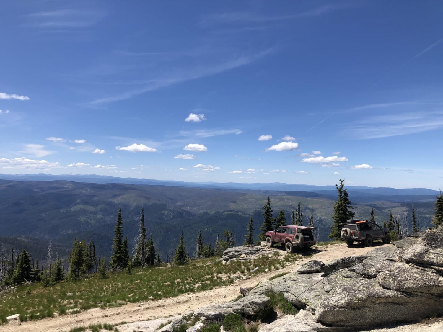
The Magruder Corridor
Total Miles
121.6
Tech Rating
Easy
Best Time
Summer
Learn more about The Ponds #5220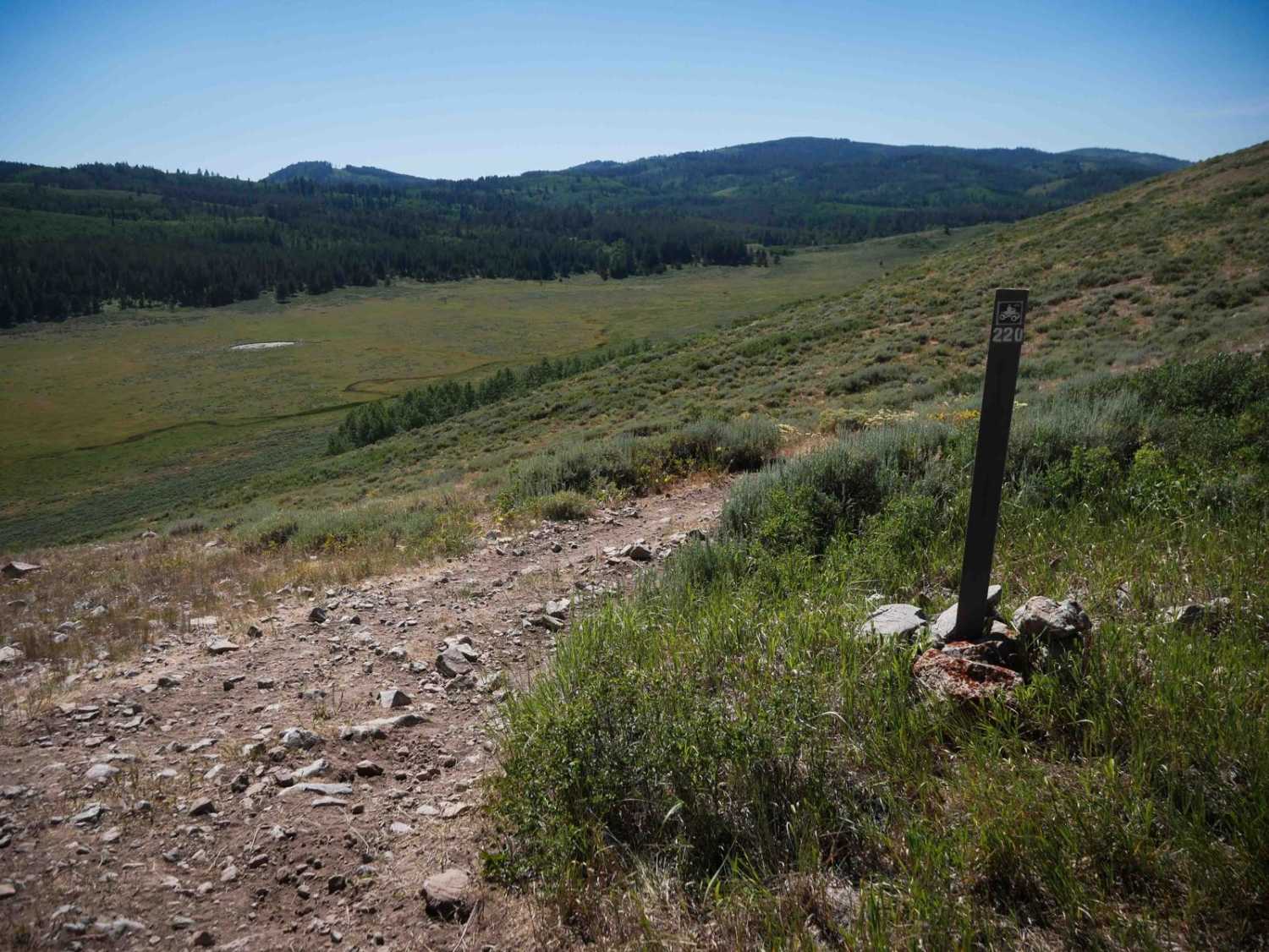
The Ponds #5220
Total Miles
1.8
Tech Rating
Moderate
Best Time
Summer, Fall
Learn more about Third Creek to Ruben Hollow 7445 
Third Creek to Ruben Hollow 7445
Total Miles
1.0
Tech Rating
Easy
Best Time
Fall, Summer, Spring
ATV trails in Idaho
Learn more about Aspen Range - Middle Sulphur #5248 
Aspen Range - Middle Sulphur #5248
Total Miles
1.9
Tech Rating
Easy
Best Time
Summer, Fall
Learn more about Dry Fork - Meadow Springs #5226 
Dry Fork - Meadow Springs #5226
Total Miles
0.4
Tech Rating
Easy
Best Time
Summer, Fall
Learn more about South Foothill Road
South Foothill Road
Total Miles
8.2
Tech Rating
Moderate
Best Time
Summer, Fall

UTV/side-by-side trails in Idaho
Learn more about South Foothill Road
South Foothill Road
Total Miles
8.2
Tech Rating
Moderate
Best Time
Summer, Fall

Learn more about 21 To Nip & Tuck
21 To Nip & Tuck
Total Miles
1.4
Tech Rating
Easy
Best Time
Fall, Summer, Spring

The onX Offroad Difference
onX Offroad combines trail photos, descriptions, difficulty ratings, width restrictions, seasonality, and more in a user-friendly interface. Available on all devices, with offline access and full compatibility with CarPlay and Android Auto. Discover what you’re missing today!